Pete's Walks- Christmas Common, Turville, Cadmore End (page 5 of 6)
If you are considering walking this route yourself, please see my disclaimer. You may also like to see these notes about the maps and GPX files.
Google map (this walk started at Christmas Common instead of Watlington Hill, and follow 'Alternative 1' on the map)
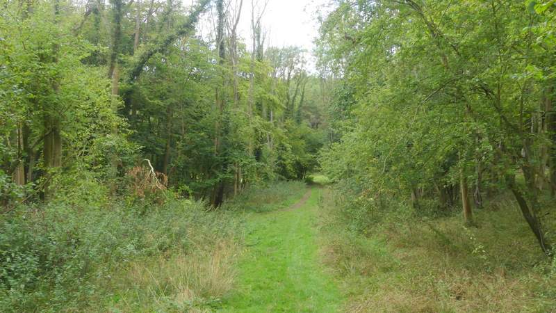
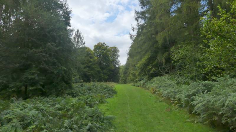
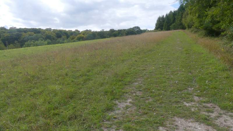
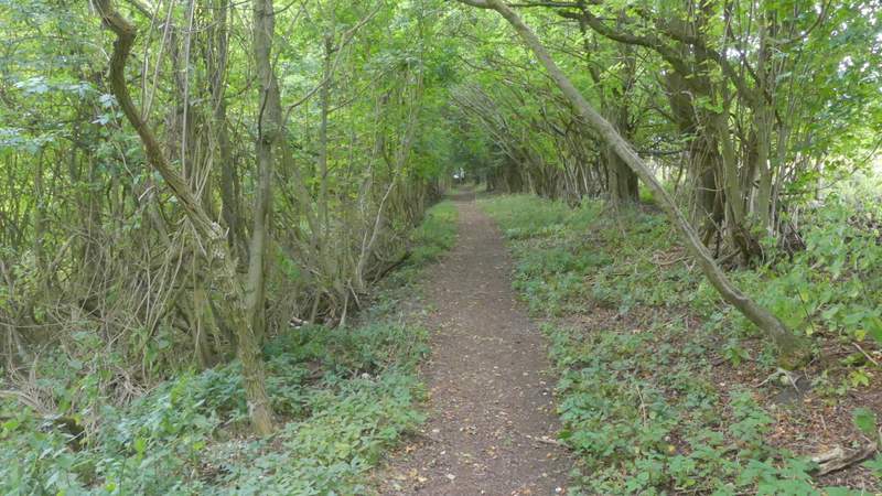
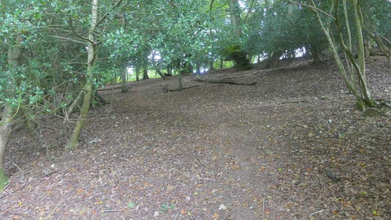
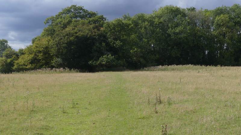
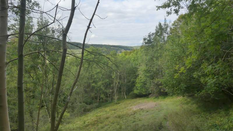
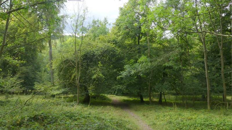
The path was soon dropping steadily downhill through the wood, into a valley named Twigside Bottom - towards the bottom of the slope the path became a grassy track. In the valley bottom I went 'straight on' at a staggered crossroads, going left along a track (with another path further left) for a hundred yards or so before turning right along a broad strip of grass through the trees. On leaving the wood, the path continued up the other side of the valley, along the right edge of a field - there was a nice view along the valley here. On reaching some conifers (close to a grave on the left) the path continued between the conifers and a hedge on my right. The path then continued less steeply uphill, running between old hedges and eventually brought me to the road that runs through Ibstone.
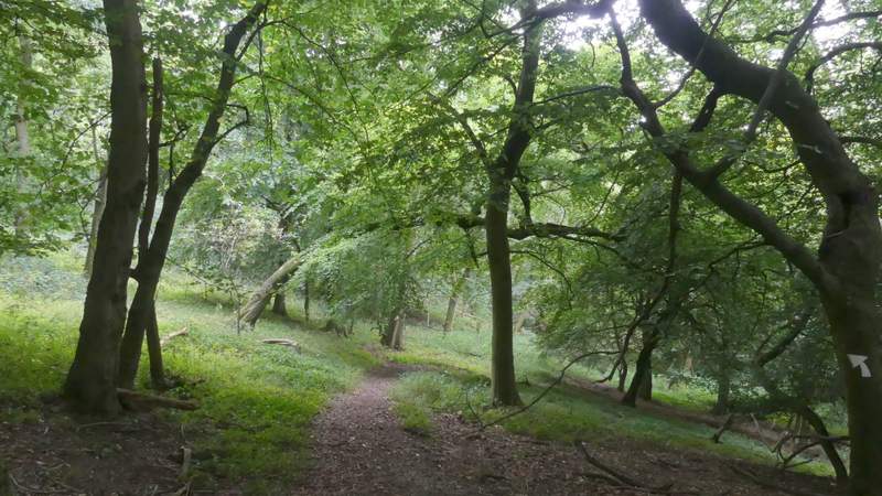
The path descending into Twigside Bottom
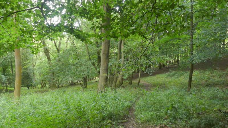
The path descending into Twigside Bottom
The path descending into Twigside Bottom
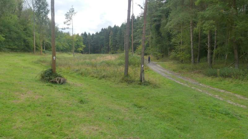
The junction at Twigside Bottom - I followed the track (where the jogger is), the path soon turns right from it
Near the start of the path from Twigside Bottom to Ibstone
The path from Twigside Bottom to Ibstone
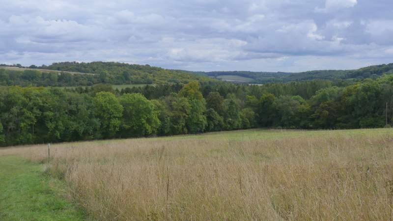
View from the path from Twigside Bottom to Ibstone
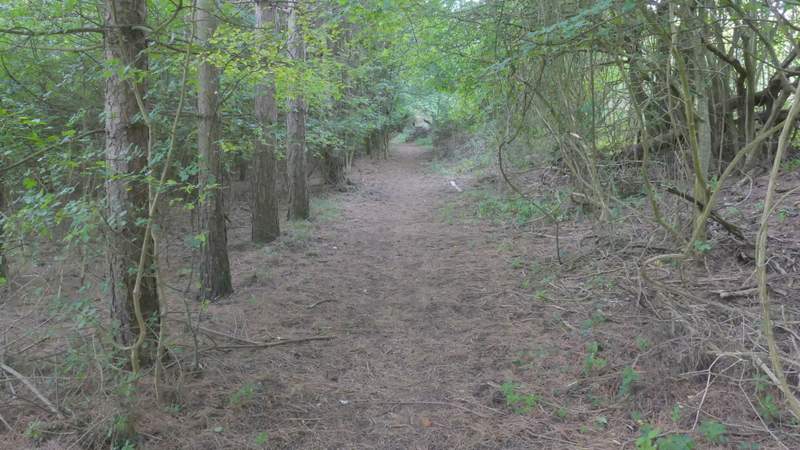
The path from Twigside Bottom to Ibstone
The path from Twigside Bottom to Ibstone
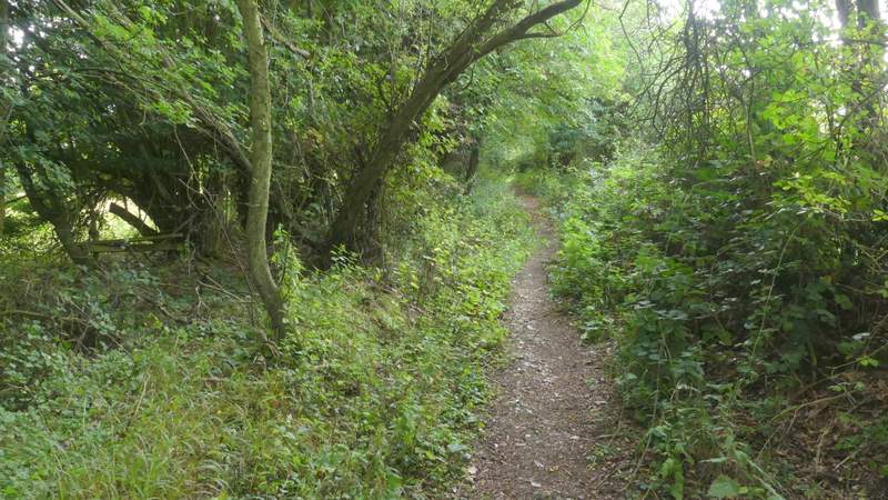
The path from Twigside Bottom to Ibstone
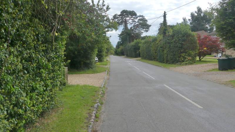
The road through Ibstone
I turned left and after one or two hundred yards took a footpath on the right (the sign is hidden from view by a holly hedge when going this way). This ran between gardens, then continued between fences. Further on the path dropped steeply between fences, with a wood on my left and a pasture on my right. On reaching the valley bottom, the path continued uphill through a part of the wood, going half left across the small slope, to reach a lane near Hellcorner Farm in another part of Ibstone.
The path between the road through Ibstone and Hellcorner Farm
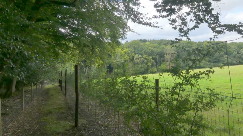
The path between the road through Ibstone and Hellcorner Farm
The path continuing uphill to the lane near Hellcorner Farm
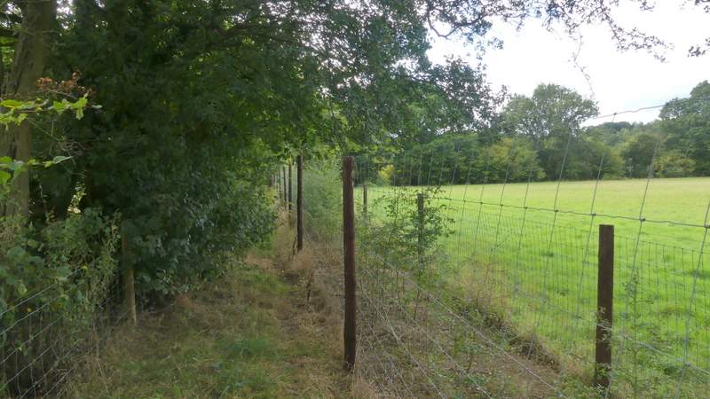
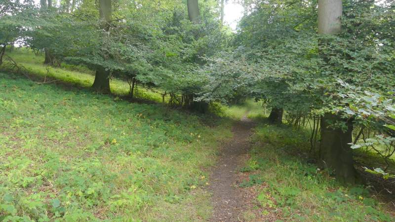
A few yards to the left, a footpath started on the other side of the lane. After going a few yards along a drive and then passing between some gardens, it crossed part of an irregularly shaped sheep pasture, then continued along a fence and tall hedge on the left in the same pasture to reach Great Wood. A little way into the wood, the path turned left and a little further on it curved right and started dropping downhill into the Wormsley valley.
The path from near Hellcorner Farm, approaching Great Wood

Great Wood
The path descending through Great Wood
The path descending through Great Wood
The path descending through Great Wood