Pete's Walks- Bradenham and Studley Green (page 1 of 4)
If you are considering walking this route yourself, please see my disclaimer. You may also like to see these notes about the maps and GPX files.
Google map of the walkDownload GPX file of the walk
I did this circular walk of about 8 miles on Saturday, October 5th, 2019. It was a repeat of a walk I did in November 2015, but this time done anti-clockwise. There were two short sections of path that I would be walking in this direction for the first time.
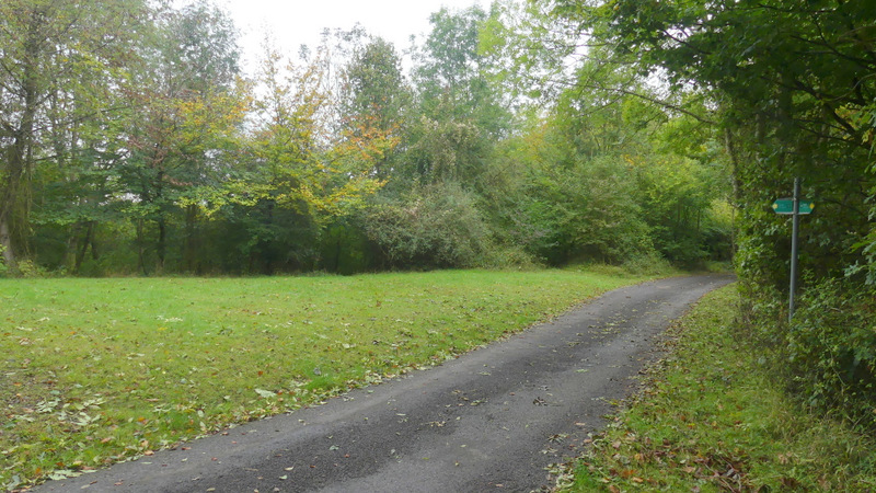
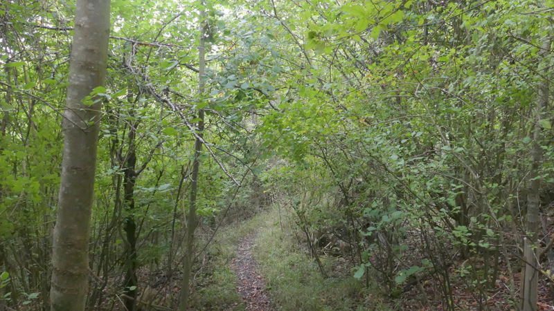
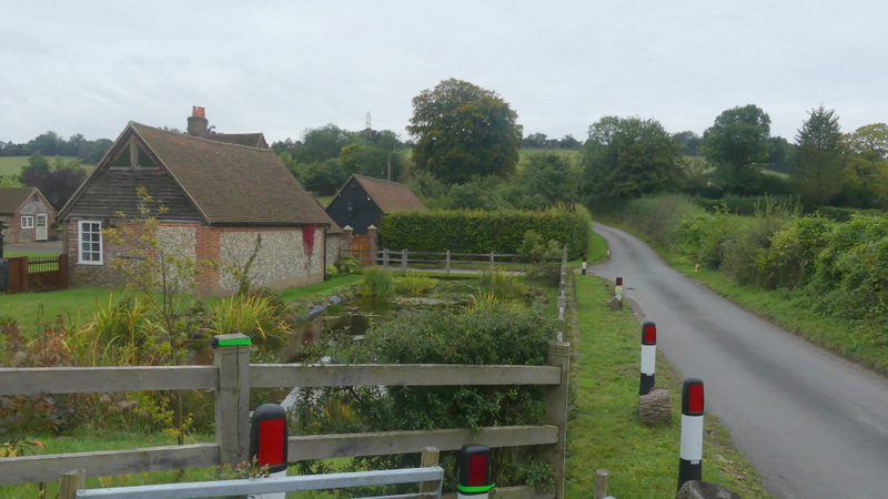
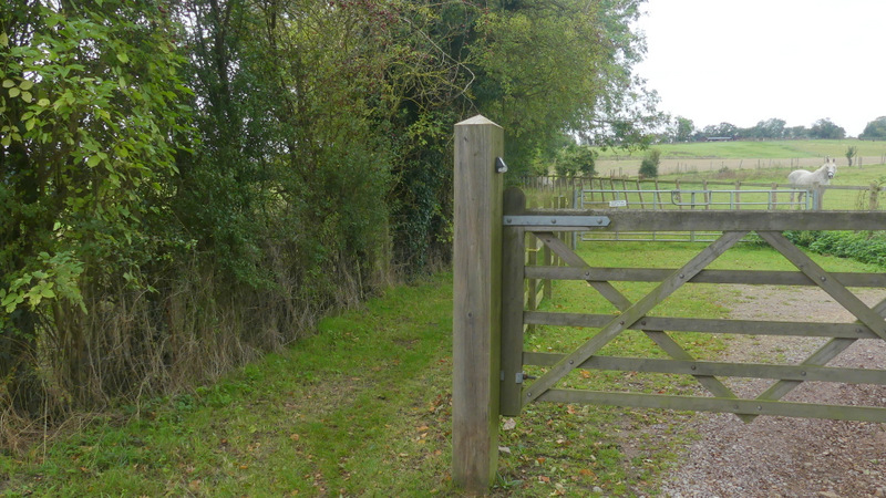
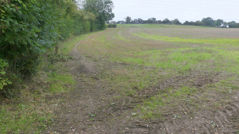
I started walking about 10:30am, from the car park at Bradenham (Grid Reference SU 827970). I walked back down the badly rutted track from the car park, with the large village green on my right. When the track went slightly left I cut across the grass to a road junction, where I turned left to reach the A4010 main road. I went a short way right (past the entrance to the Red Lion pub's car park and then a drive) and then carefully crossed over and took a footpath starting at a metal kissing-gate on the other side. The path followed a track to the left of a bit of hedge, then went under a railway bridge. It continued by another hedge on the right as far as a gate through which I went right, now with a hedge to my left. After a hundred yards or so, the path turned left through the hedge to reach the corner of a grassy hillside. I went a few yards right then followed a path going at an angle up the hillside towards Allnutt's Wood. This was the first of the six hills on this 8-mile route - the gradient was quite gentle and there was a nice view back towards Bradenham as I drew near to the wood.
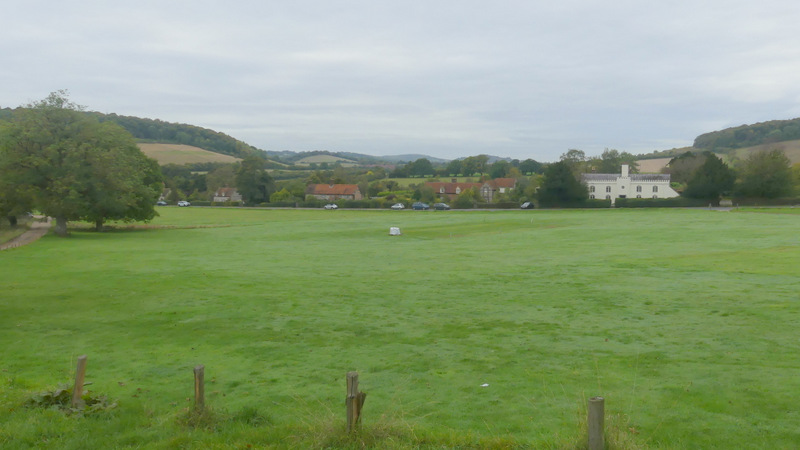
Bradenham
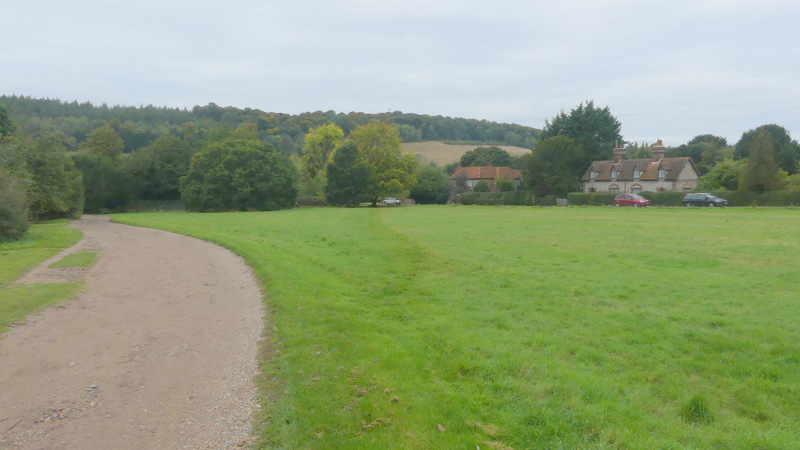
Where I cut across the green to the road
The start of the path to Allnutt's Wood, after I crossed the A4010

The path to Allnutt's Wood, just after going under the railway bridge
The path to Allnutt's Wood
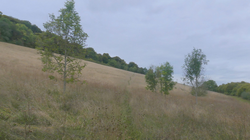
The path to Allnutt's Wood
The path to Allnutt's Wood
View back towards Bradenham
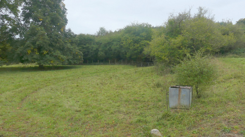
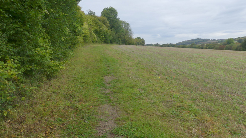
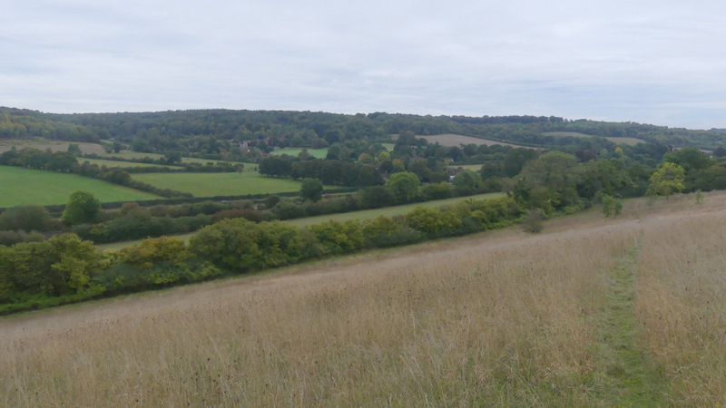
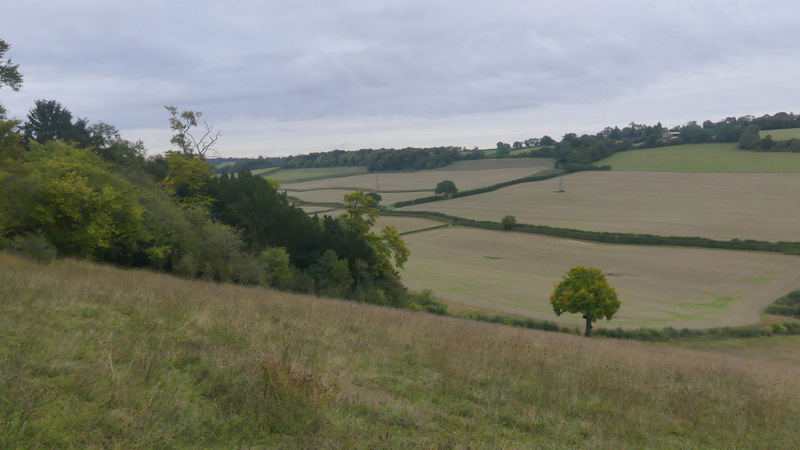
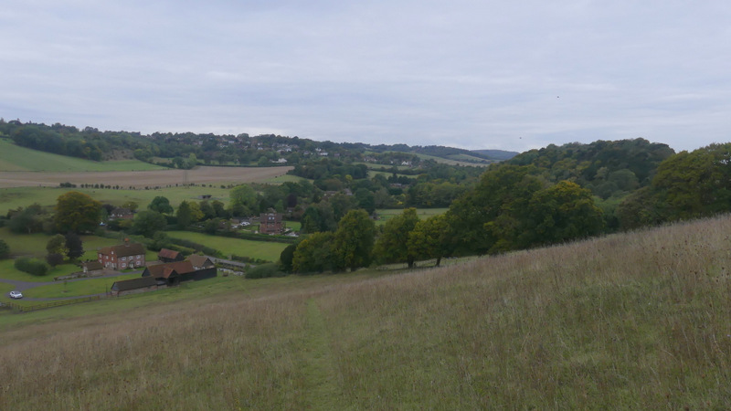
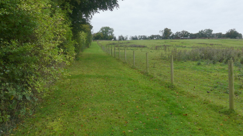
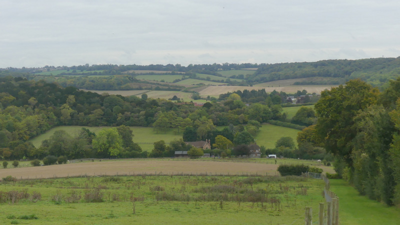
The path continued on through Allnutt's Wood for a few hundred yards - there was little more uphill but it was hardly noticeable. At the top of the slope, the path crossed the drive to Nobles Farm and briefly re-entered the wood, emerging at the top of a large paddock that slopped steeply downhill. There were nice views here, with Bledlow Ridge across the valley in front of me (that's the name of both the hill and the village stretched out along its top). The path continued in more or less the same direction, aiming for the bottom right corner of the paddock (there were just a couple of horses in it). The steepness and my rickety knees meant this was rather slow-going, but that meant I had longer to enjoy the views.

The path continuing through Allnutt's Wood
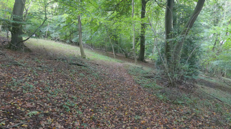
The path continuing through Allnutt's Wood
Where the path crosses the drive to Nobles Farm in Allnutt's Wood
The path descending through Allnutt's Wood
View left from where the path leaves Allnutt's Wood
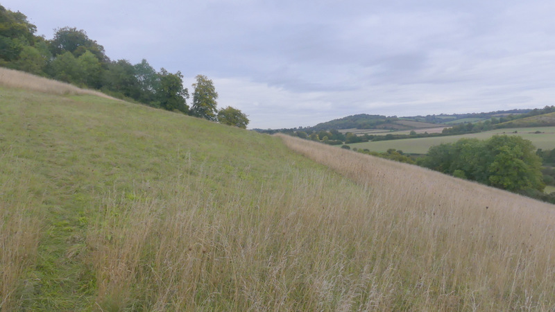
The path descending steeply from Allnutt's Wood to Slough Bottom Farm
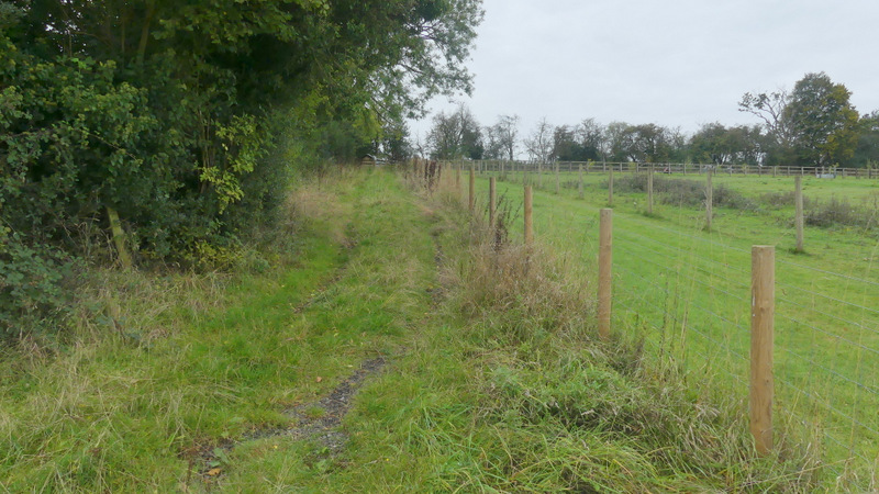
On reaching the corner, I went over a stile and turned left along Slough Lane, immediately passing a pond and Slough Bottom Farm on my left. Just after the lane turned left, I took a footpath on the right that followed a hedge on my left for several hundred yards as it rose up the hillside on that side of the valley. I passed a paddock, a stubble field and then an empty sheep pasture on my right, all separated from me by a fence. Where the fence kinked right, I went straight on through a gate, and soon passed a house on my left, joining its drive and following it until it brought me to the road that runs along the top of Bledlow Ridge.
Slough Lane passing Slough Bottom Farm
The start of the path from Slough Lane up to Bledlow Ridge
The path from Slough Lane up to Bledlow Ridge
The path from Slough Lane up to Bledlow Ridge
View looking back, from the path to Bledlow Ridge
The path from Slough Lane up to Bledlow Ridge (after I went through a gate)
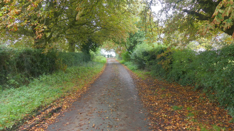
The path continuing along a drive