Pete's Walks - Little Missenden and Knotty Green (page 4 of 6)
If you are considering walking this route yourself, please see my disclaimer. You may also like to see these notes about the maps and GPX files.
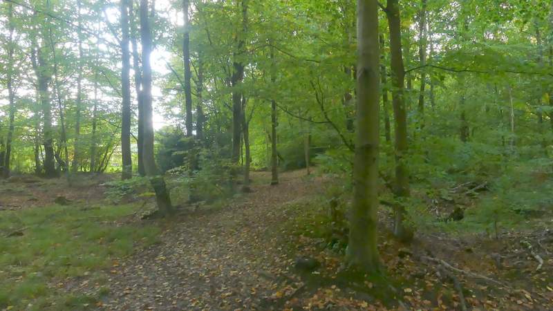
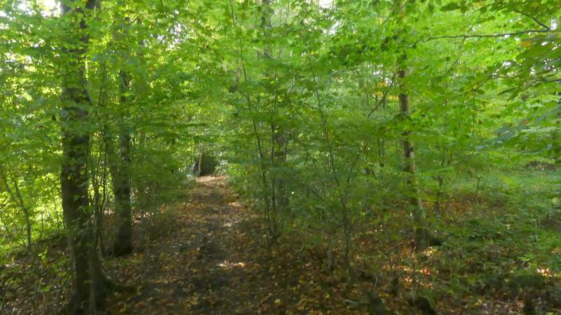
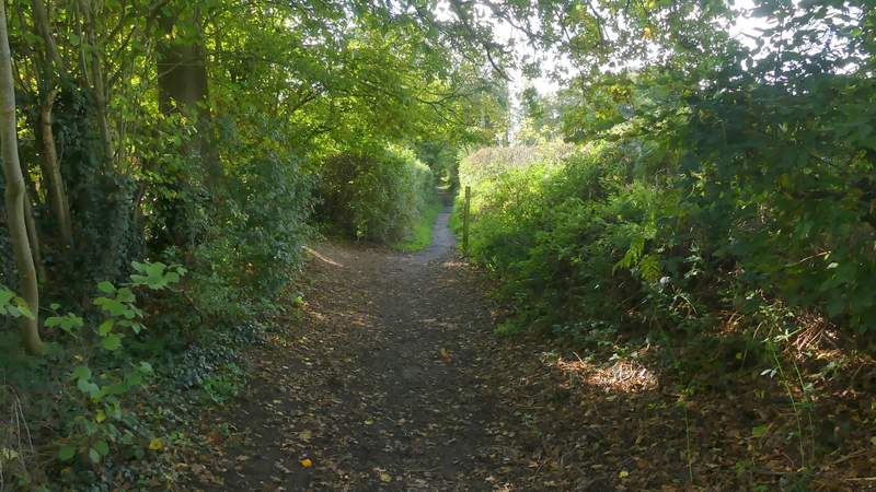
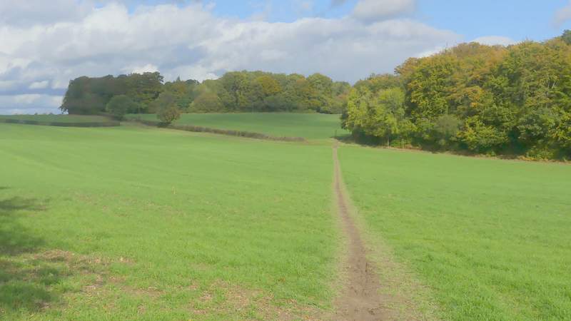
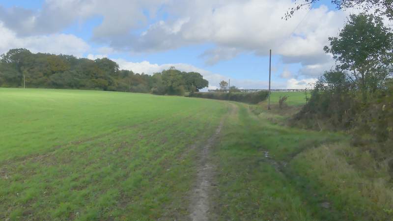
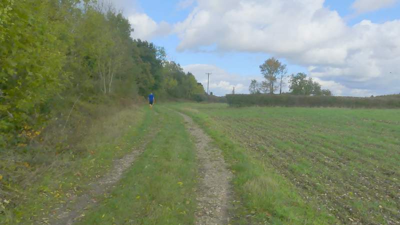
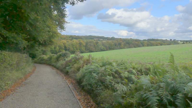
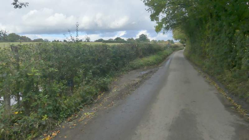
The path continued straight on through Brown's Wood - it was a little unclear in places, but there was usually a white arrow on a tree to confirm that I was still following it. After about a quarter of a mile I came to a waymark post and a path junction, where I went right - this path ran along the border of Brown's Woof and Netherlands Wood, on my left. After another 300-400 yards I came to another junction, where I turned left along what appeared to be an old track. After 250-300 yards the path forked left from this track (there was no waymark or sign, and the path here wasn't very clear - but I could make out where a row of houses and gardens ended through the trees to the left). Soon the path was running close to garden boundaries just a few feet to the left.
The path continuing east through Brown's Wood
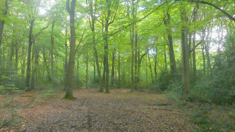
The path continuing east through Brown's Wood
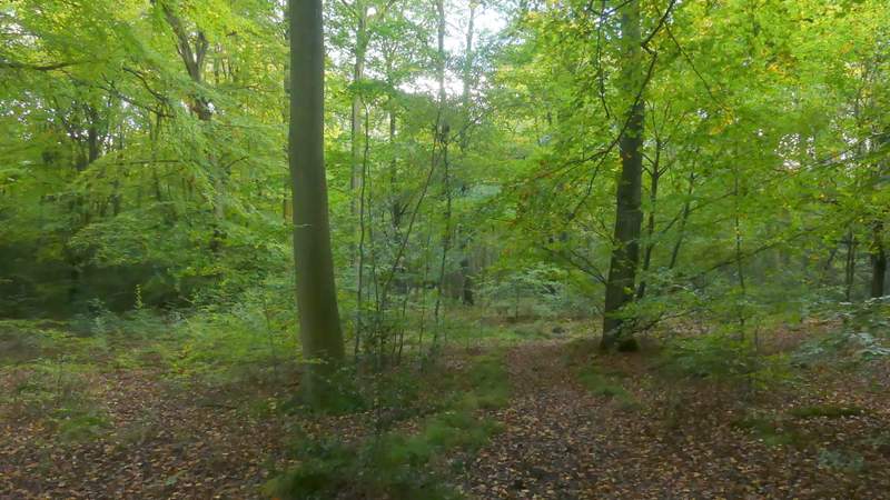
The path after I turned right in Brown's Wood
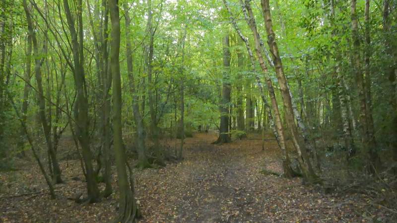
The path after I turned left in Netherlands Wood
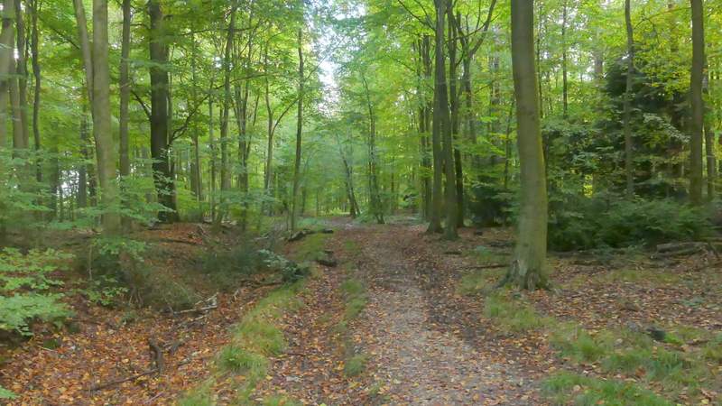
The path after I turned left in Netherlands Wood, just after it forks left from a track
The path after I turned left in Netherlands Wood (there are house just to the left here)
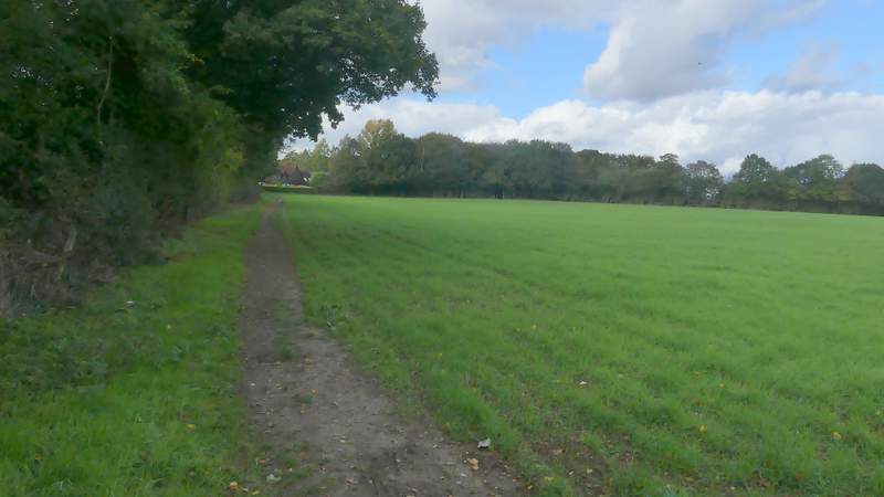
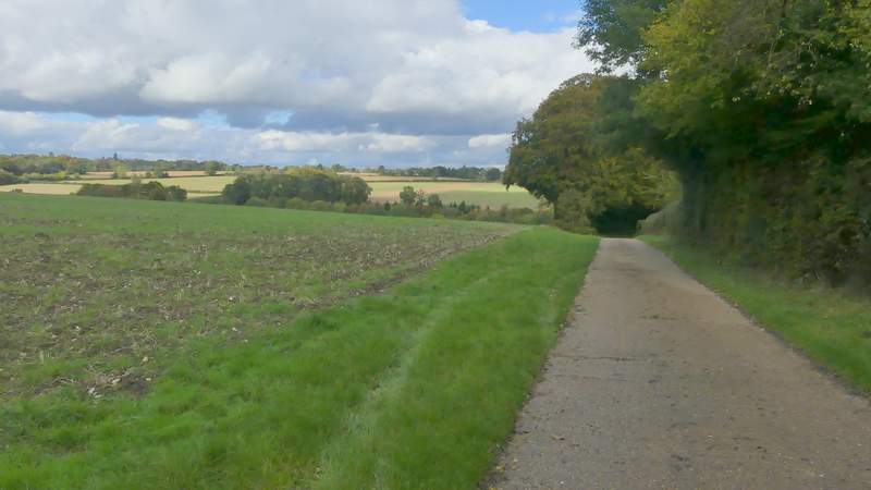
The path then emerged from Netherlands Wood and continued between more garden boundaries and a hedge on my right - the houses here were part of Knotty Green, a 'suburb' of Beaconsfield. At the end of the field on my right. I turned right at a path junction and followed the edge of the field to the next corner. Here the path went right for a few yards then turned through the hedgerow. Soon it was heading downhill across another field to reach a track at a corner of Sandels Wood. The path continued along the track, heading gently uphill to reach Seagrave's Farm.
The path continuing past part of Knotty Green, to the left
The path after I turned right, still with part of Knotty Green to my left
The path heading down to the track to Seagrave's farm, by the corner of Sandels Wood
The track to Seagrave's Farm
The track to Seagrave's Farm
On reaching Seagrave's Farm, I continued down its drive, soon heading downhill into a valley. At the valley bottom, I went straight on along Fagnall Lane, following it slowly uphill over the course of about half a mile to reach the village of Winchmore Hill. I continued through the village, until just past a pub on the right I stopped at a bench on the green on my left, where I ate the lunch I'd bought at the Tesco garage. It was now about 1.35pm.
The drive from Seagrave's Farm
The drive from Seagrave's Farm
Fagnall Lane
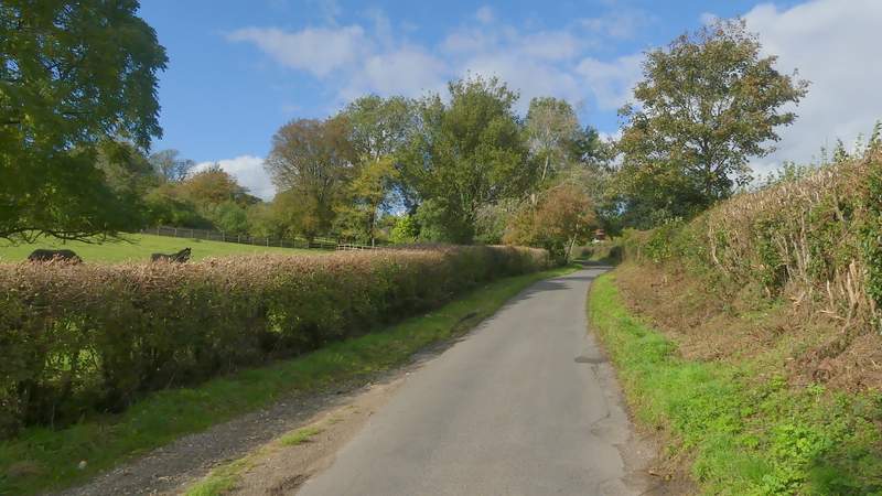
Fagnall Lane
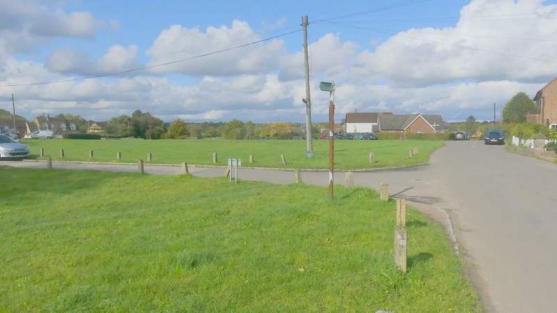
Winchmore Hill (from my lunch spot - after which I turned left at a junction near the far side of the green)