Pete's Walks- Sonning Common and Mapledurham (page 4 of 5)
If you are considering walking this route yourself, please see my disclaimer. You may also like to see these notes about the maps and GPX files.
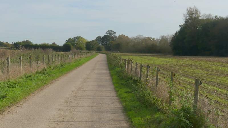
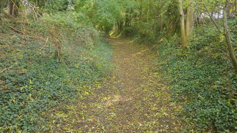
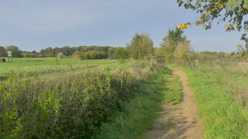
The path then dropped steeply downhill to reach a hedge-lined bridleway, where I turned left. After following the bridleway through the Thames valley for about half a mile, it ended at a lane where I turned right and soon reached the beautiful small village of Mapledurham. The route turns left here along a very long concrete farm drive, but I first took a detour in and out of the the attractive village, something I've not done for a few years.
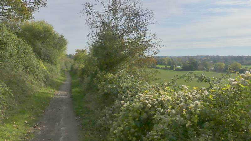
The bridleway heading southeast to Mapledurham
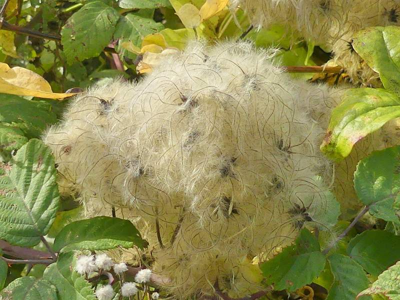
Wild Clematis (also known as Old Man's Beard or Traveller's Joy

The bridleway heading southeast to Mapledurham
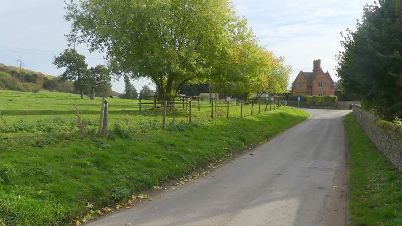
The lane to Mapledurham
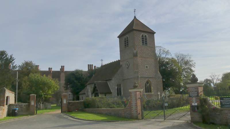
Mapledurham church
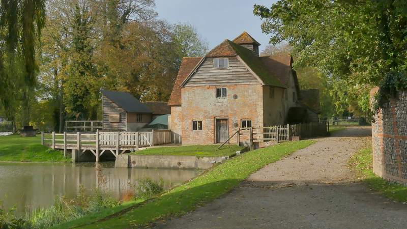
The water mill at Mapledurham
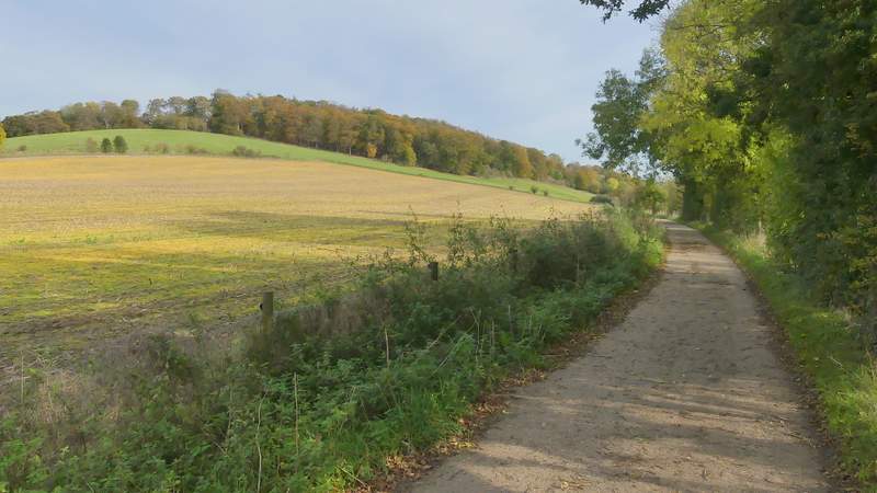
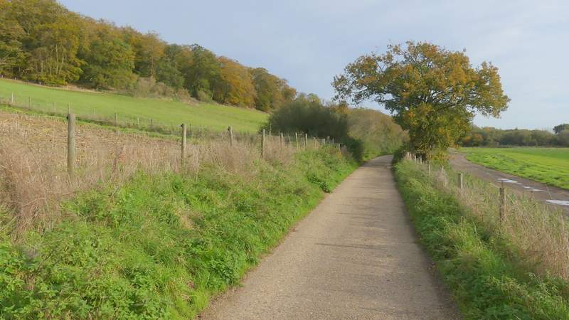
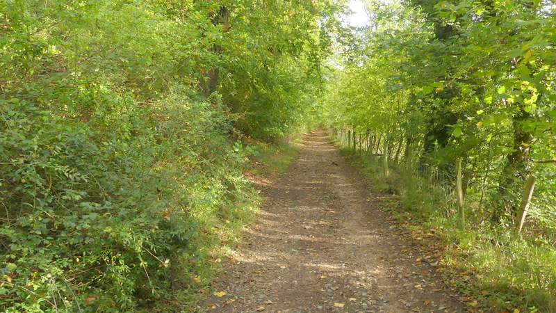
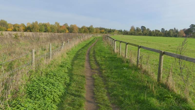
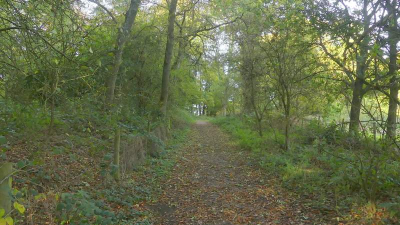
I now had to follow the concrete track for about a mile and a half. It was absolutely flat as it ran through the Thames Valley, almost up to the point I left it. Near the start a path went left (the route of the Chiltern Way which I'd been following since Collins End). I soon had a good view back to Mapledurham House and further on I went by Park Farm (last time I did this walk I met many people coming the other way, today I think the lady I passed here was the only other person I saw). There was a slight kink in the track as I passed a junction near New Farm (a little to my right). Soon I was approaching Chazey Wood on top of the hillside to my left, and after a while the wood extended down the hill to meet the track, which now became much rougher and no longer solid concrete. When the wood ended, I finally left the track and turned left, following a footpath uphill (there was no signpost, but there was a faded waymark a few yards along the path). This soon levelled out (it seemed less steep and shorter than I remembered) when it turned right, and continued between fences and hedges for a few hundred yards to reach a bridleway, where I turned left.
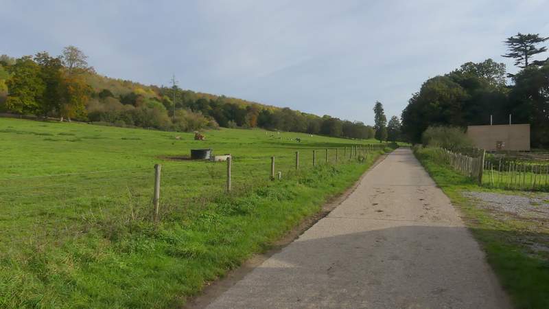
The start of the long bridleway along the Thames Valley from Mapledurham
The long bridleway along the Thames Valley from Mapledurham
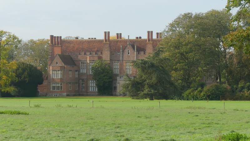
Looking back to Mapledurham House
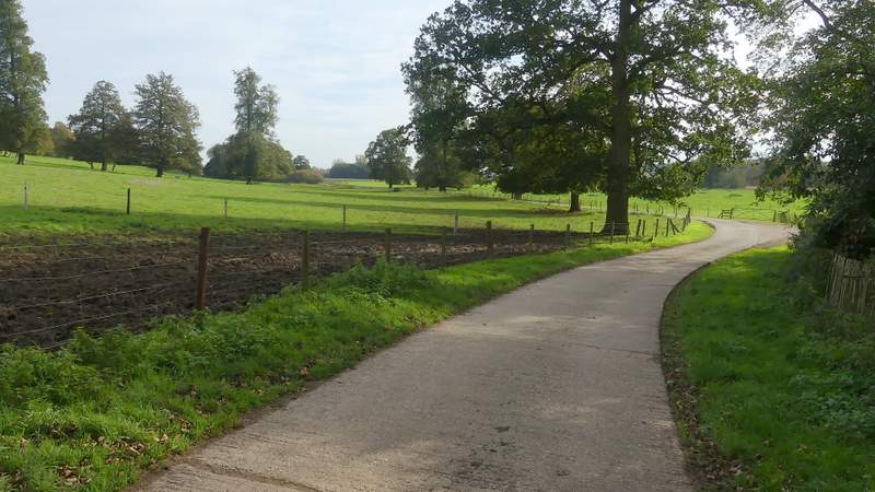
The long bridleway along the Thames Valley from Mapledurham
The long bridleway along the Thames Valley from Mapledurham
The long bridleway along the Thames Valley from Mapledurham, approaching Chazey Wood
The long bridleway along the Thames Valley from Mapledurham, passing Chazey Wood
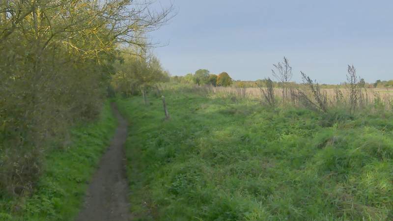
The path after I turned left
The path after I turned left, after it turned right
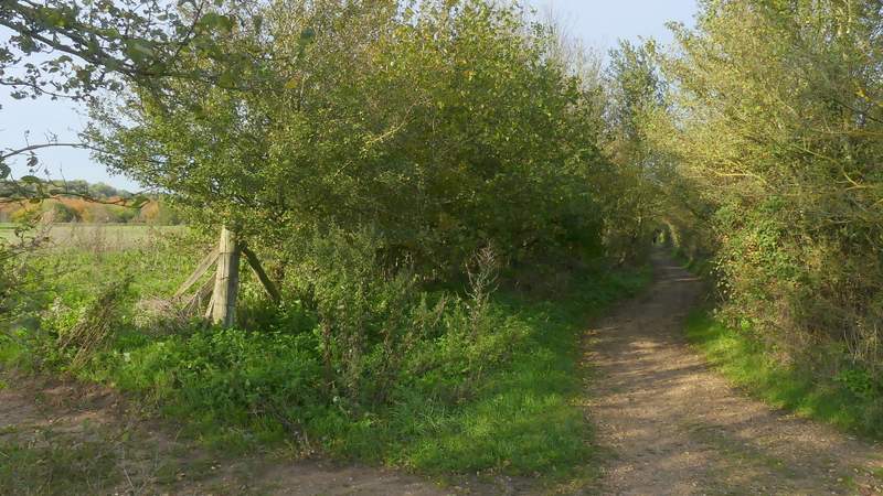
The next mile or so was very straightforward as I simply followed the bridleway northwards, for most of the time with Caversham Heath golf course on either side of me, generally hidden from my view by hedges. This was very pleasant and undemanding, though also very flat.
The bridleway going north through Caversham Heath Golf Course
The bridleway going north through Caversham Heath Golf Course
The bridleway going north through Caversham Heath Golf Course
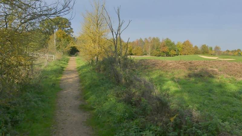
The bridleway going north through Caversham Heath Golf Course
The bridleway going north through Caversham Heath Golf Course