Pete's Walks - Pitstone Hill, Dagnall, Ashridge (page 2 of 6)
If you are considering walking this route yourself, please see my disclaimer. You may also like to see these notes about the maps and GPX files.
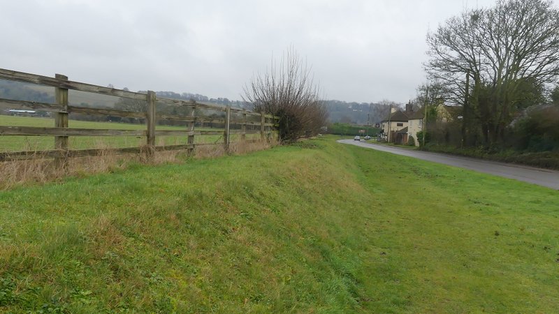
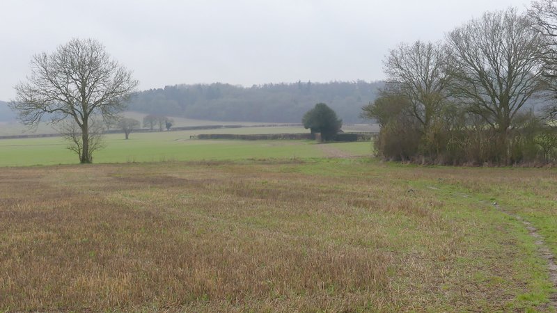
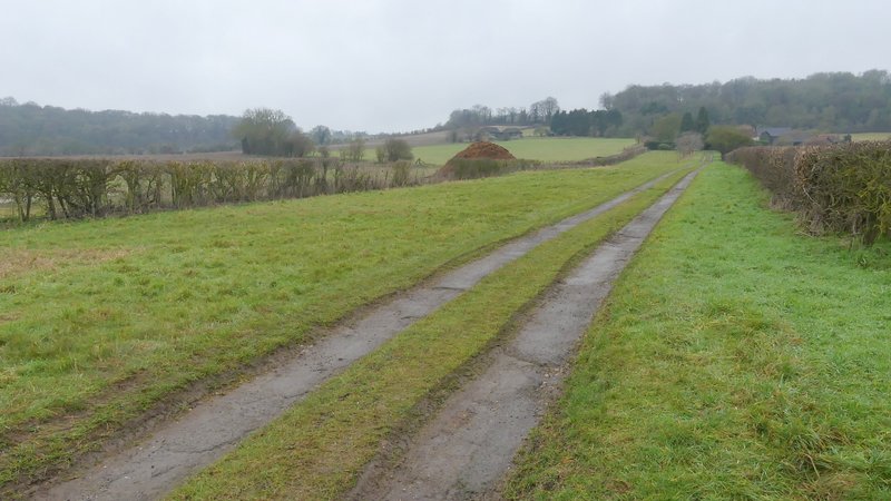
The path continued through the mainly deciduous wood for a few hundred yards, then went through an area of tall conifers planted close together in straight lines. On the other side of these, I emerged close to an edge of the wood on my left and soon after the path went up a steep flight of 'steps'. At the top of the slope I emerged from the wood, and went a short way along an edge of a sheep pasture to reach the yard round Ward's Hurst Farm. I turned left, leaving the yard and starting a long and gentle descent towards Dagnall. I went through another sheep pasture, then continued with an embankment on my left where many attractive beech trees grew (I had to detour round one beech tree that had obviously come down in a recent gale). All the while there was a fine view ahead of me towards Dagnall, in a valley with a steep slope behind it, though again this view was far from at its best. After a while I went through a gate, continuing along the edge of a field to pass a property named Hog Hall on the OS map, then joining its drive and continuing gently downhill. I could now see the long line of Dunstable Downs and Whipsnade Downs ahead of me. On eventually reaching a road, I turned right into the village of Dagnall.
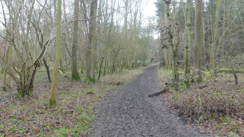
The wood on the way to Ward's Hurst Farm
The wood on the way to Ward's Hurst Farm
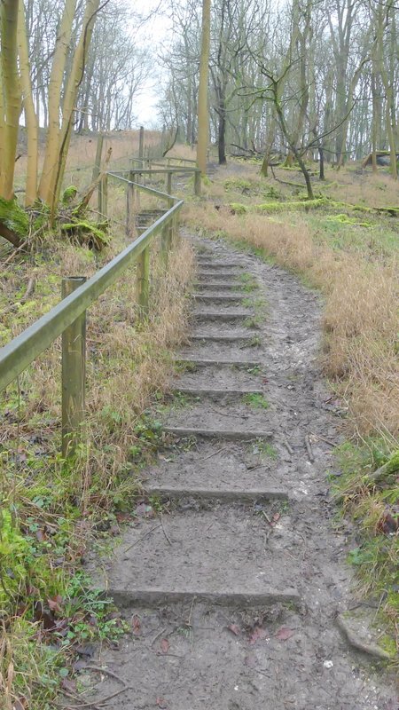
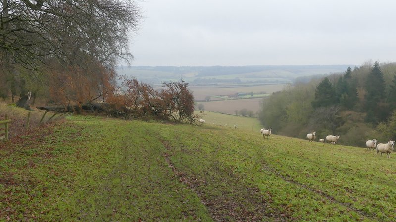
The 'steps' climbing up towards Ward's Hurst
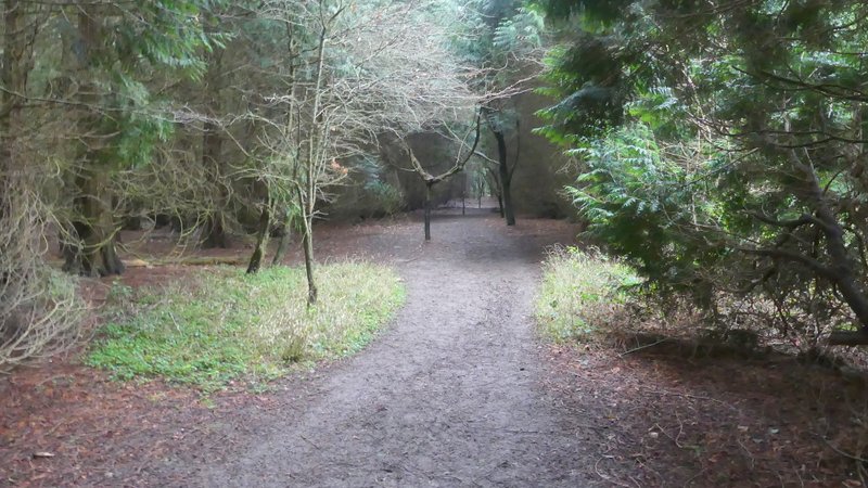
The path from Ward's Hurst Farm to Dagnall
The path from Ward's Hurst Farm to Dagnall
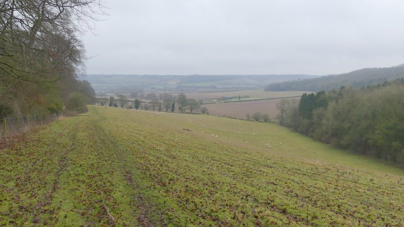
The path from Ward's Hurst Farm to Dagnall
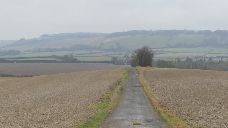
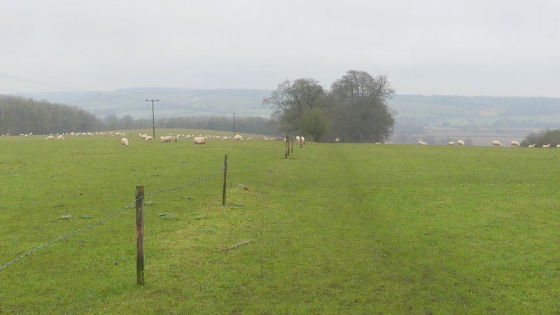
The path to Dagnall continuing along the drive from Hog Hall
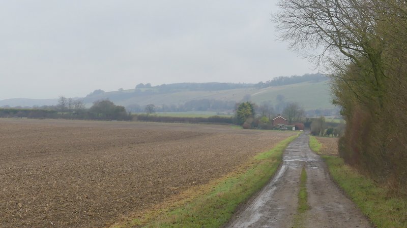
The path to Dagnall continuing along the drive from Hog Hall
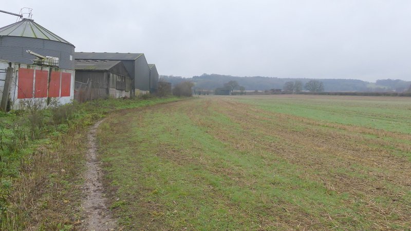
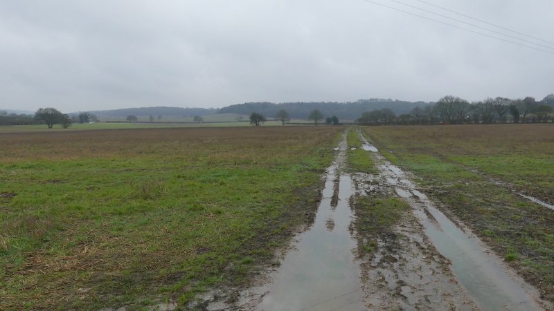
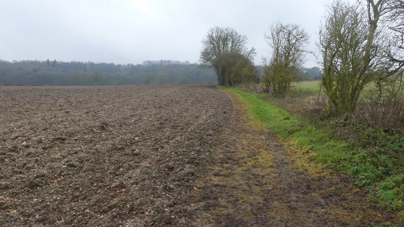
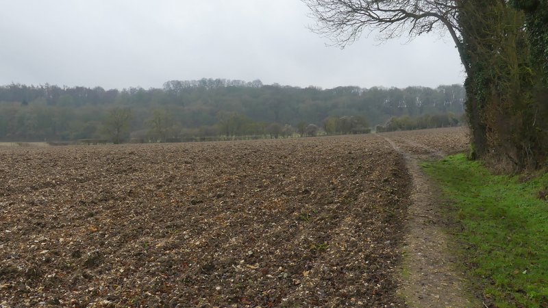
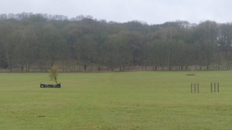
I went straight on at a roundabout, then after another hundred yards or so I took a footpath on the right, which ran along the edge of a field with a bungalow and then a farmyard to my left. It then turned left, passing another side of the farmyard and still with the same field on my right (this path was officially diverted 10-15 years ago, it used to run through the garden of the bungalow and across the farmyard). The path then continued along a track between fields, merging with a bridleway at the end of the first field on my left. The bridleway was soon running beside a hedge on my right, and then turned right along the drive to Well Farm. After about a hundred yards the bridleway went left, again following a hedge on my right which almost immediately turned half-right. When this hedge turned right, the bridleway continued straight on over a ploughed field. I then entered a huge meadow with a number of horse jumps in it, where I was disappointed not to see any deer (there's usually a good number of them here). On the other side of this field, the bridleway went through a couple of gates then continued uphill through a wood (I always refer to it as Hoo Wood, the only name I can see on the OS map, but that name's the other side of a boundary line so this part of the wood could be called something else). Towards the far side of the wood I saw a few Fallow Deer, in the trees to my left.
Dagnall
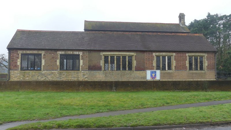
Dagnall church
Near the start of the path from Dagnall to Little Gaddesden
The path from Dagnall to Little Gaddesden
The path from Dagnall to Little Gaddesden (it joins a bridleway where it meets the hedge coming in on the right)
The bridleway on the drive to Well Farm
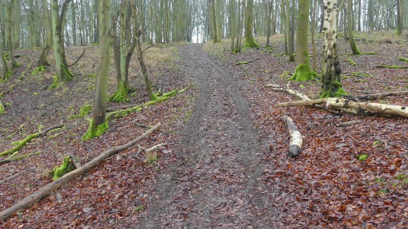
The bridleway continuing towards Hoo Wood
The bridleway continuing towards Hoo Wood
The bridleway continuing towards Hoo Wood
The bridleway continuing through Hoo Wood
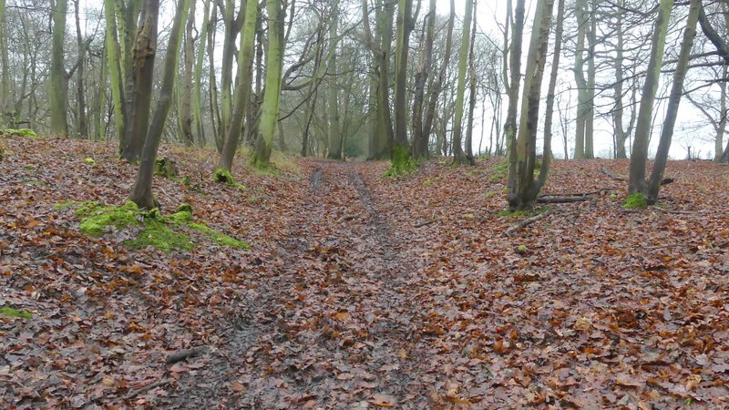
The bridleway continuing through Hoo Wood