Pete's Walks - Pitstone Hill, Dagnall, Ashridge (page 5 of 6)
If you are considering walking this route yourself, please see my disclaimer. You may also like to see these notes about the maps and GPX files.
On reaching a corner of the cattle pasture, just before some cottages, I turned right. I followed a short and muddy path, still with the fence around the pasture on my right. After one or two hundred yards the path merged with a bridleway (coming in sharply from my left), continuing along a line of fine beech trees, with the pasture still on my right and the woods extending to my left. After several hundred yards I reached the far end of the pasture on my right, where the bridleway continued ahead along a fine avenue of beech trees to reach the road from Ringshall to Northchurch.
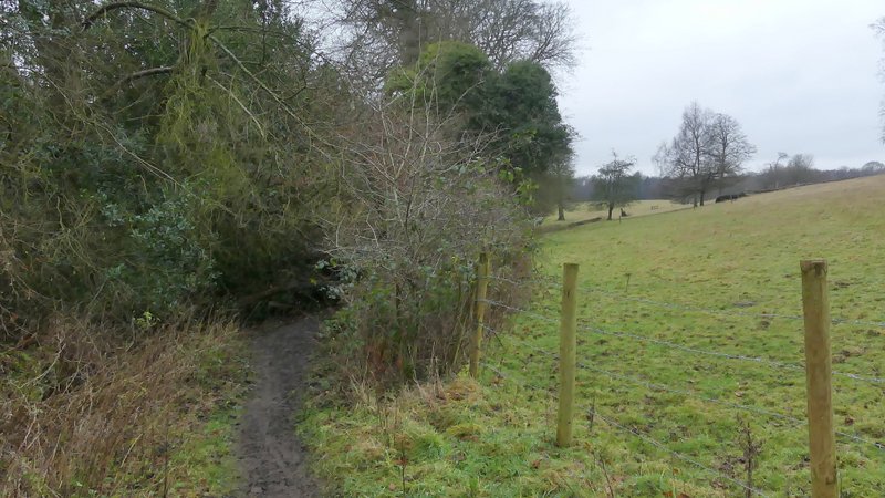
The start of the path after I turned right, running alongside the large pasture
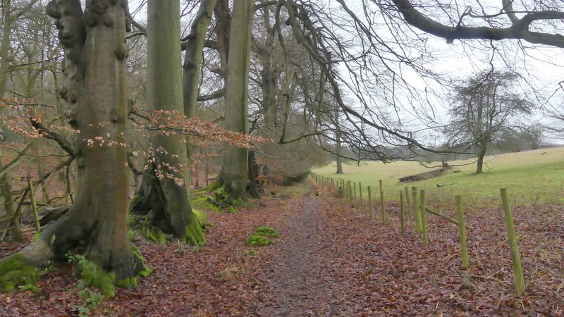
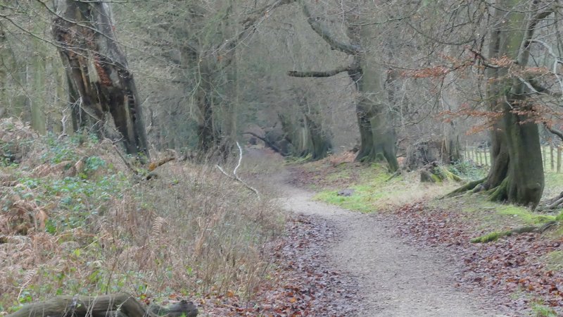
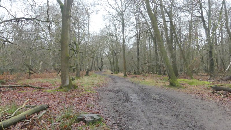
Beech trees along the path, just before it merges with a bridleway
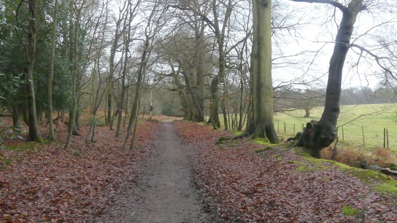
Beech trees along the bridleway
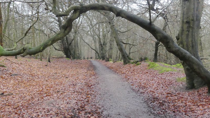
Beech trees along the bridleway
Beech trees along the bridleway
Beech trees along the bridleway
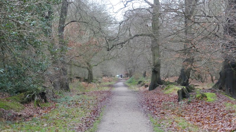
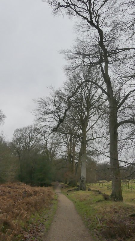
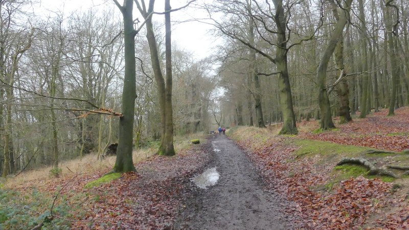
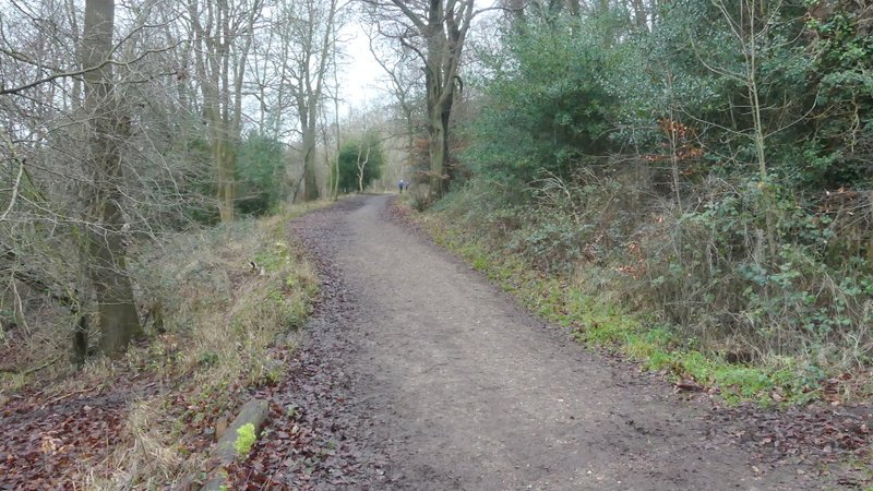
The bridleway approaching the Ringshall-Northchurch road
Across the road I continued along another bridleway, still in the woods of Ashridge. After a few hundred yards I went straight on where a path crossed the bridleway (just after passing a pond on my left), and eventually passed a cottage in the woods (on my right). Immediately after the tall hedges of this cottage I came to another junction, where I took a bridleway going right (actually two go right here the bridleway I took was the one that stayed level, not the one going downhill). After two or three hundred yards I passed a seat on the right, with a nice view out over the village of Aldbury which was down to my left. Further on the bridleway merged with another one coming in sharply from my left (the main route between Aldbury and the Bridgewater monument at Ashridge). After another hundred yards or so I came to a bridleway fork where I took the left fork. This bridleway ran fairly level through the bushes and trees just below the Monument, which was out of sight somewhere up to my right.
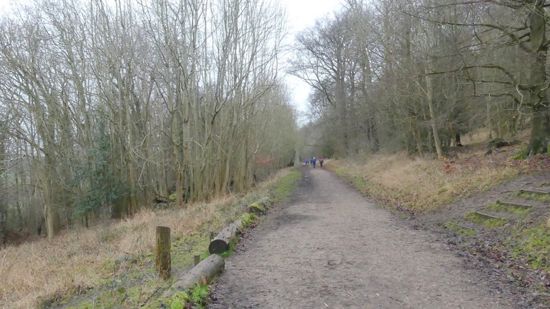
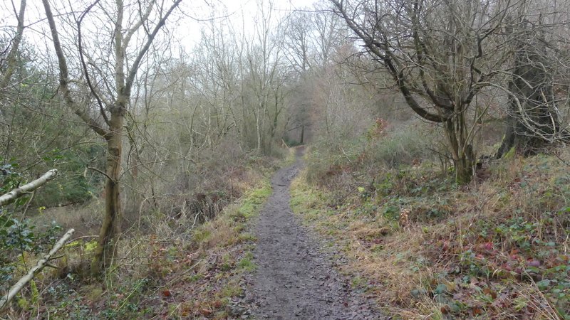
The bridleway on the other side of the road
The bridleway continuing through the woods, after crossing a footpath
The bridleway after it went right
The bridleway after it went right
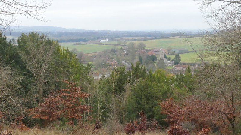
View left, out over Aldbury
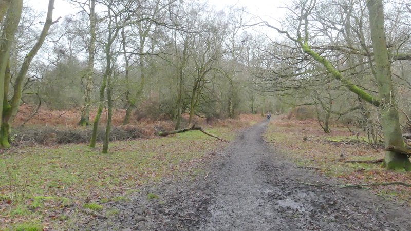
Looking ahead from the first bridleway junction (I forked left at a second such junctions after about 100 yards, roughly by the person in the photo)
The bridleway after I forked left