Pete's Walks- Redland End and Bryant's Bottom (page 5 of 5)
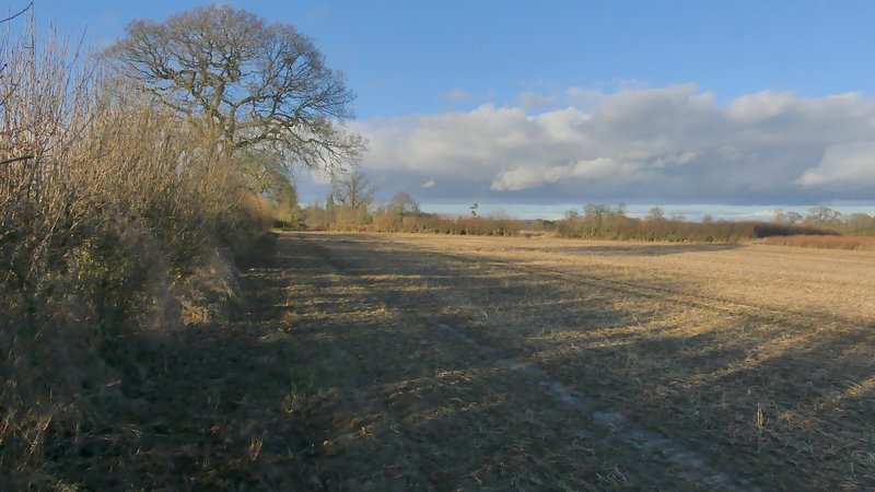
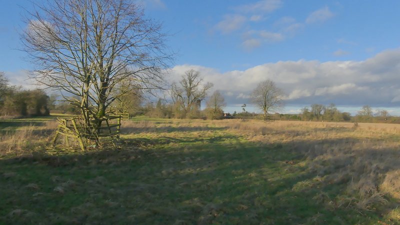
I soon reached a track or drive junction, where a bridleway sign pointed along the drive (to a property named Old Rectory), on my right. Just before I reached the gate to this house, I took a footpath going left (Note: NOT the bridleway continuing round to the left of the property, initially alongside its boundary). This ran through a small bit of woodland, then ran between a fence and a hedge beside a small pasture. I then went over a stile, where I remembered that in 2015 the leaders of a large group of ramblers kindly allowed me to go first otherwise I'd have been there a long time if I'd had to wait for all of them to cross the stile. The path then continued in an almost straight line across two or three fields of stubble, crossing a lane at one point. The path then continued through a grassy area with several small trees surrounded by fences in it (the path soon runs close to an old hedge on the right, continuing on into a corner). Across a minor road, the path continued in the same straight line through a similar larger area of grass dotted with trees, clearly part of the park around Hampden House, which I could see ahead of me close to Great Hampden church. The path ended in a corner next to the churchyard. I turned left and followed the gravel drive past the church. Where the gravel ended I continued ahead along a stretch of grass, now on the route of the Chiltern Way.
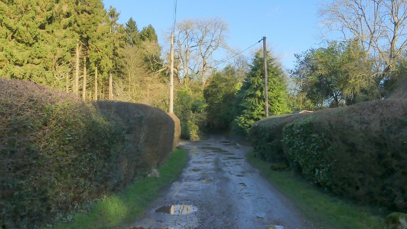
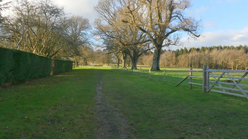
The bridleway to the Old Rectory
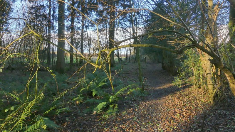
Near the start of the path from by the Old Rectory, heading north-northwest to Great Hampden church
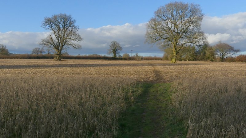
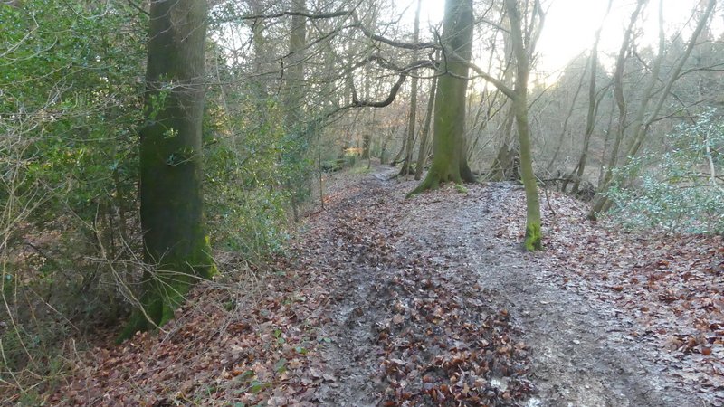
The path to Great Hampden church
The path to Great Hampden church
The path to Great Hampden church
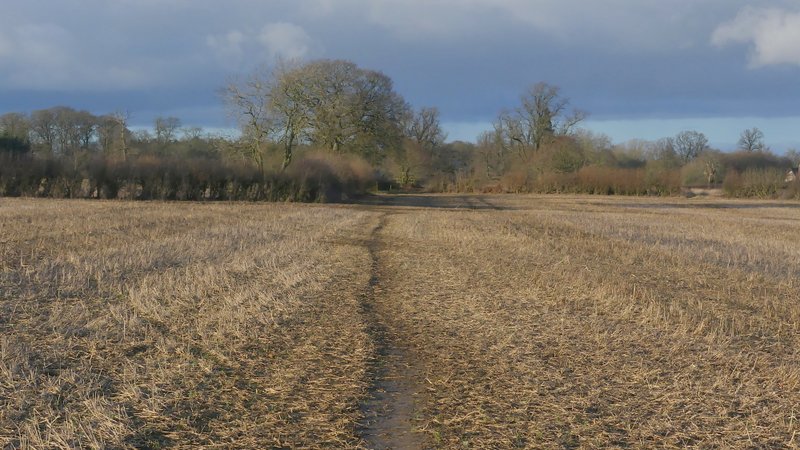
The path to Great Hampden church, shortly before it reaches the road
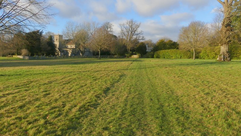
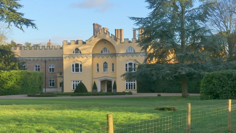
Approaching Great Hampden church and Hampden House
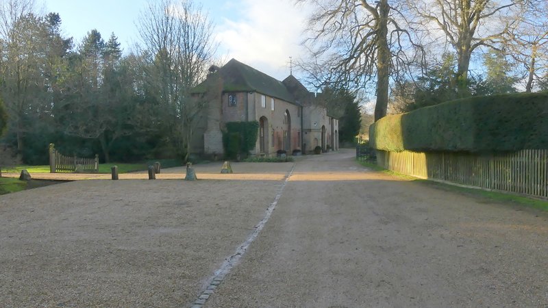
The drive passing between Great Hampden church and Hampden House (right) - the house ahead is called Turret House
The path from Hampden House
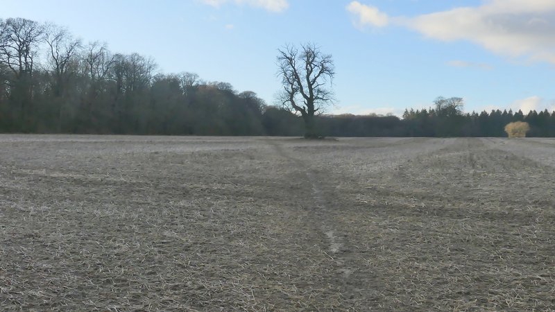
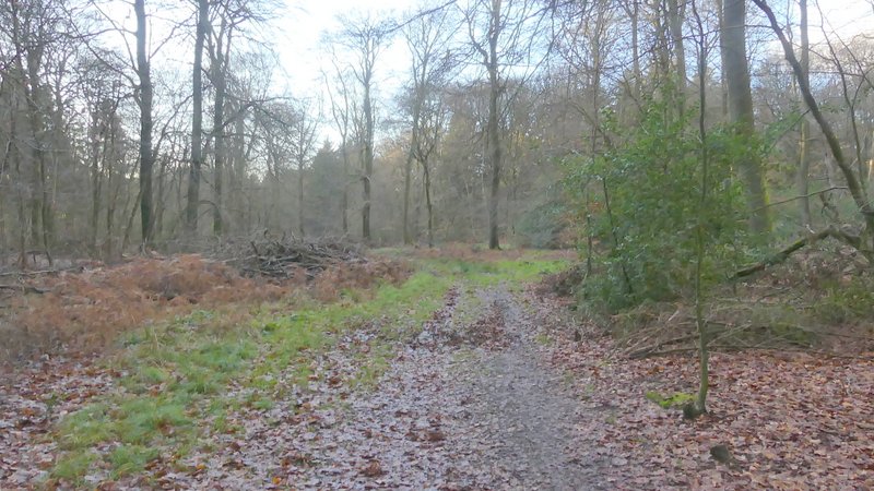
On reaching the edge of a very large ploughed field, I followed a path going slightly left across the field, heading towards a small group of trees in the middle of the field - there were other trees dotted about in this field, so I've always assumed it was once part of the park land around Hampden House. Beyond the group of trees the path continued in the same westerly direction to reach a wood on the other side of the field, Barnes's Grove. The path now went more south-westerly as it passed through the wood. After a few hundred yards, a path came in sharply from the right (I followed this path at the strat of my walk last week), and the combined paths then followed part of the ancient earthwork called Grimm's Ditch to reach a road junction at Redland End. I took the lane opposite, which soon led me back to my parked car.
Looking back at Hampden House
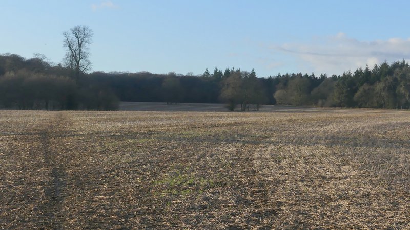
The path across the large field, heading towards Barnes's Grove
Near the start of the path across the large field, heading towards Barnes's Grove
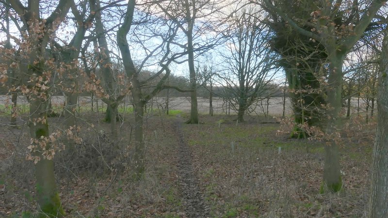
The path passing through the small copse in the large field
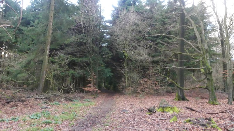
The same path just after entering Barnes's Grove
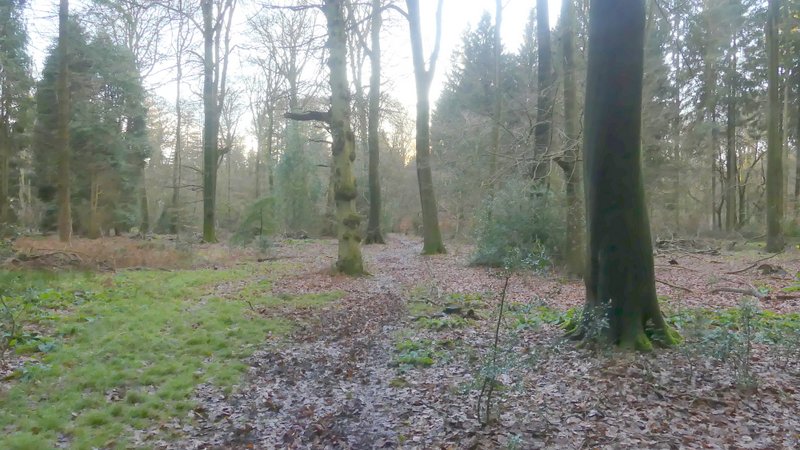
Barnes's Grove
Barnes's Grove
The path running along part of the ancient earthwork called Grim's Ditch
This was another good walk that really deserved to be done on a nicer day. The weather wasn't too bad at all today (the forecasters were right about 'sunny intervals'), but the almost constant mud was a bit wearisome (and there were a few really boggy bits). The route served my purposes today, as I wanted a shorter walk due to my ongoing back problem. It was a slightly odd route in that the first two miles and final two miles are flat, with four ups and downs coming in quick succession in the middle three or four miles. I think I'd only walked the route once in each direction before, so there were a few sections I wasn't too familiar with.