Pete's Walks - North from Little Missenden (page 2 of 4)
If you are considering walking this route yourself, please see my disclaimer. You may also like to see these notes about the maps.
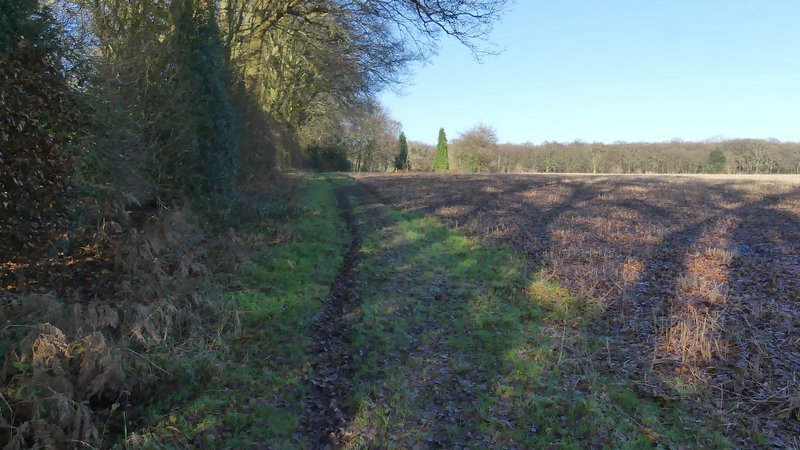
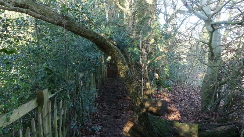
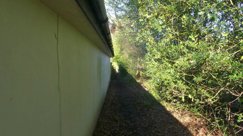
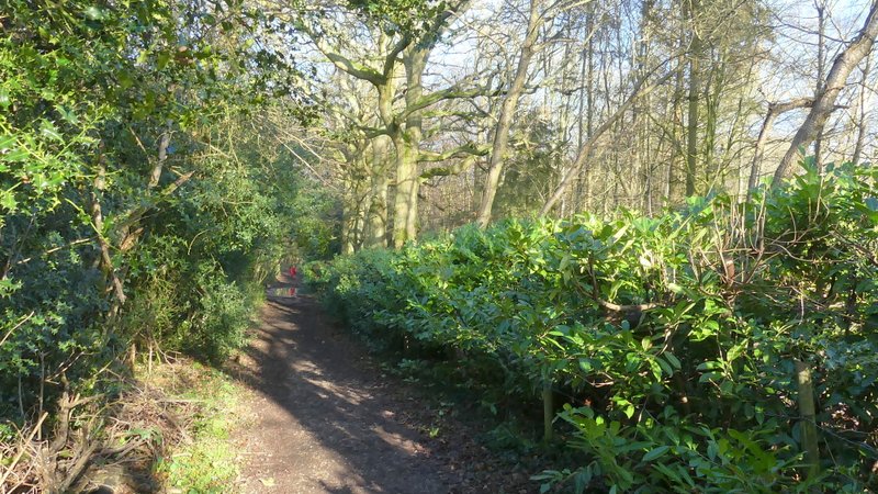
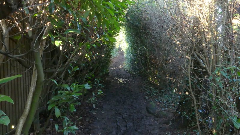
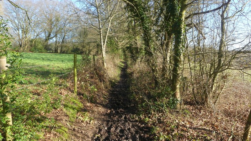
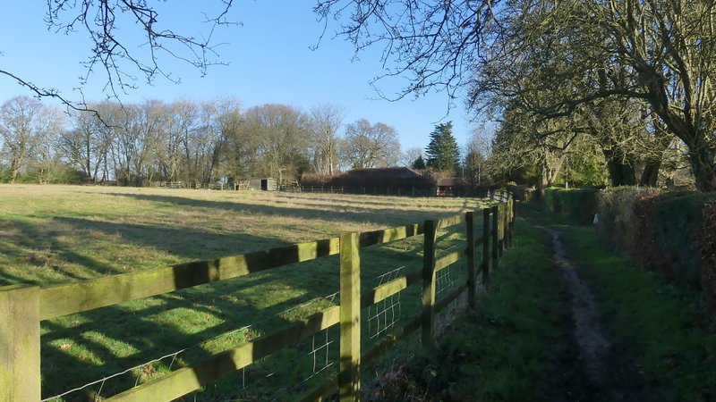
I then crossed a huge paddock, inhabited by just a few horses, where I aimed for the far left corner. This paddock was very muddy, especially by the stile. The path then continued along the left edge of the next field. A waymark indicated where the path switched to the other side of the hedge on my left. The path then followed a fence on my left past one or two properties, with a tall hedgerow on my right. It ended on a gravel drive (this point is marked Little Wood Corner on the OS map, I think that's a house name rather than a hamlet) where I turned left. After maybe a hundred yards I turned right along a path that started off along a track just inside the left edge of a wood (the fingerpost is a few yards along the path). I followed the path for a few hundred yards, ignoring paths going right, until immediately after passing between two clumps of Holly a waymark indicated a path going left. This path was soon running beside garden fences on my left with the tall hedge on my right overhanging to almost form a 'green tunnel'. After two or three hundred yards I reached the road through South Heath, where I turned right.
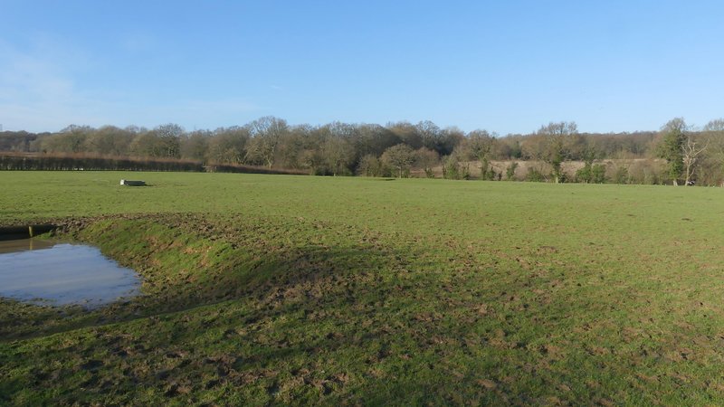
The path from Hyde End, crossing a very large paddock
The path from Hyde End, in the field after the large paddock
The same path, after the field in the last photo
A little further along the same path
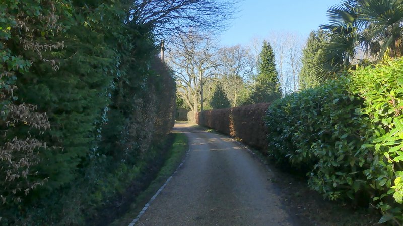
The drive at Little Wood Corner
The path after I turned right from the drive
Further along the same path
The path after I turned left in a bit of woodland, now along the edge of properties in South Heath
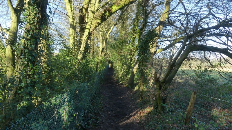
Further along the same path
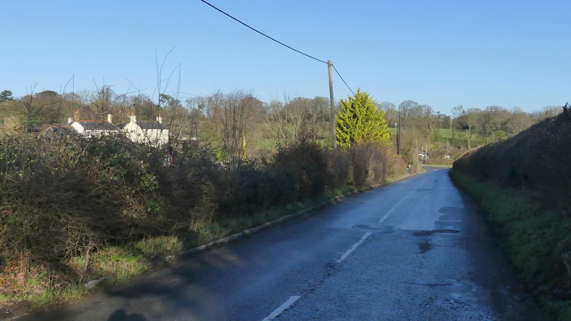
The road at South Heath
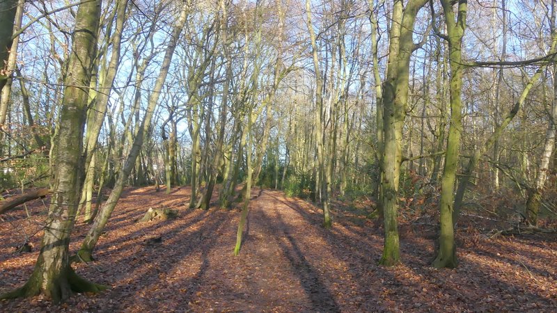
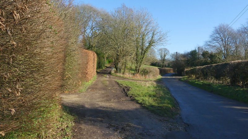
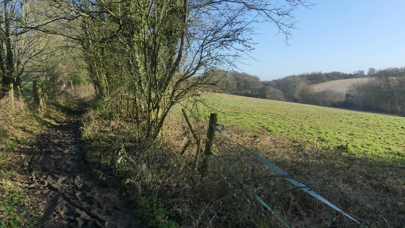
After another two or three hundred yards I came to a junction where I turned right into a lane (this point is marked 'Ballinger Bottom (South)' on the OS map) that was running along a valley named Herbert's Hole. Just a short way along the lane I forked left onto a bridleway that started along the drive to Ballinger Hill House. After a short distance the bridleway forked slightly right from the drive, continuing pleasantly between hedges and fences with small fields either side, and with the valley now down on my right. After a quarter of a mile or so, the bridleway joined another drive that went slightly left past a couple of properties. Where this drive turned fully left, I took a footpath going right which ran between fences and hedges, soon dropping back down into Herbert's Hole to rejoin the lane, where I turned left. I immediately came to a junction where lanes went left and right. I went straight on along a bridleway that continued to follow the bottom of Herbert's Hole, with a wood on my right. After two or three hundred yards I reached a junction, where I turned right and followed a path uphill through the wood. At the path's end, I turned left along Little Hundridge Lane.
The start of the bridleway from "Ballinger Bottom (South)" The drive goes to Ballinger Hill House, but the bridleway forks right from it after a while
The bridleway from Ballinger Bottom (South)
The bridleway from Ballinger Bottom (South)
The bridleway from Ballinger Bottom (South)
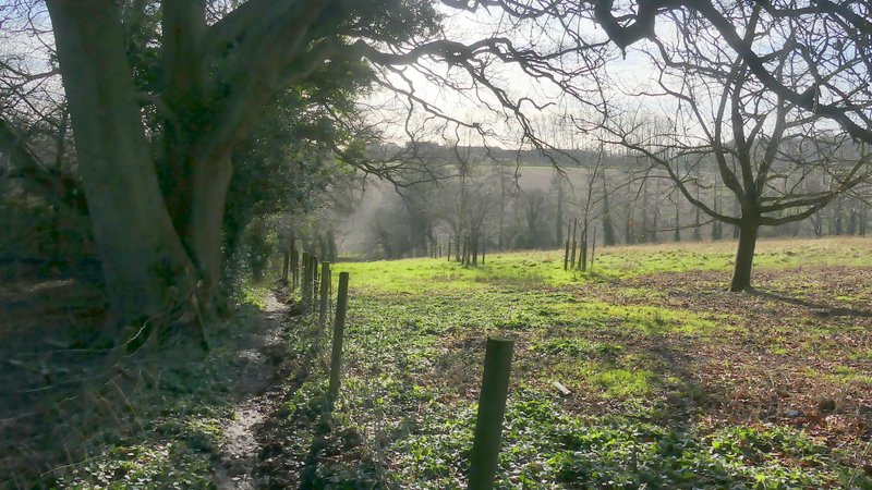
The path going right from the bridleway, towards Herbert's Hole
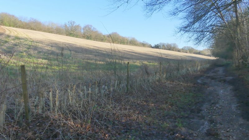
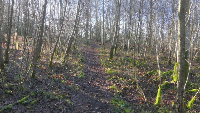
The bridleway through Herbert's Hole
The path through the wood after turning right in Herbert's Hole