Pete's Walks - North from Little Missenden (page 4 of 4)
If you are considering walking this route yourself, please see my disclaimer. You may also like to see these notes about the maps.
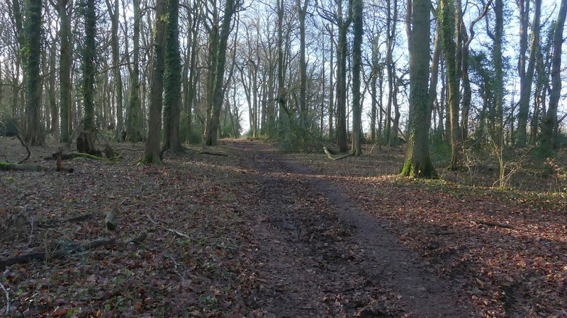
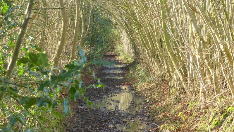
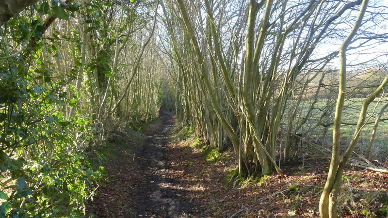
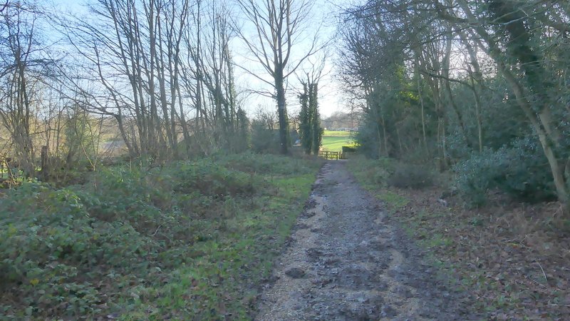
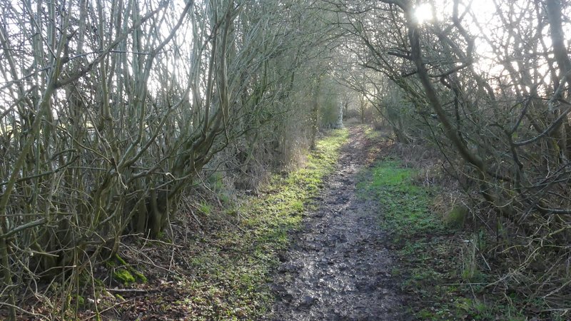
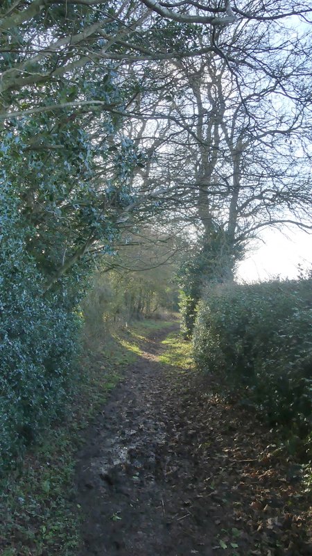
The bridleway then entered White's Wood, following a track. After a hundred yards or so I came to a fork in the track with no waymarks or signs, where I remembered that I should go straight on rather than half-left. The bridleway continued through the wood, and then on for some distance between hedgerows. This was by far the muddiest bit of the walk, with large puddles forcing me to work sideways along the hedgerow on my left, clinging on to Hazel branches. The bridleway then turned left along another track (where a footpath went right). The track soon turned half-right, and a few yards further on I turned right at a bridleway junction. This led through the wooded Hyde Heath Common, where I went left at a junction to reach Hyde Heath Road.
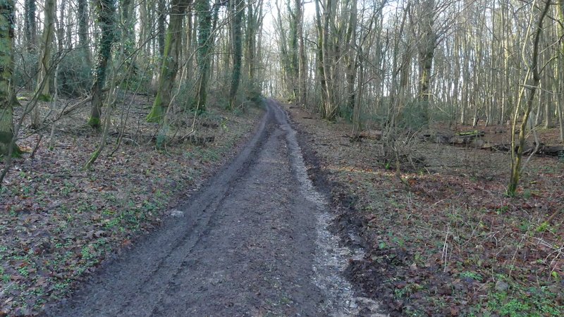
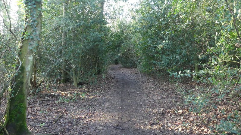
The bridleway continuing through White's Wood
The bridleway continuing through White's Wood
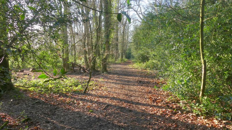
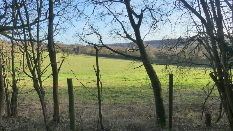
The bridleway continuing from White's Wood
The bridleway continuing from White's Wood
The bridleway after it turns left
The bridleway through Hyde Heath Common
The bridleway through Hyde Heath Common
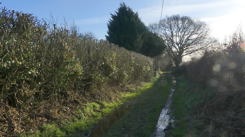
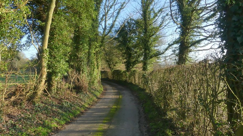
I turned left along the road, just entering the outskirts of Hyde Heath before, maybe after a hundred yards or so, turning left onto a bridleway along the wonderfully named Bullbaiters Lane. The surface of this gradually deteriorated as it passed a few properties, then it ran for several hundred yards as a narrow track between high hedgerows. Eventually it reached a lane coming from Mantle's Farm to my right, where I turned left.
Bullbaiters Lane (what a great name!)
Bullbaiters Lane
Bullbaiters Lane
The lane from Mantle's Farm
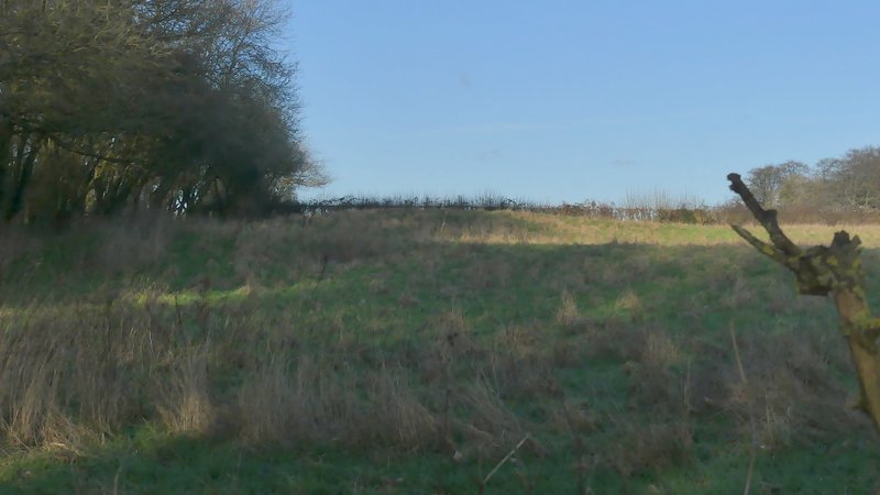
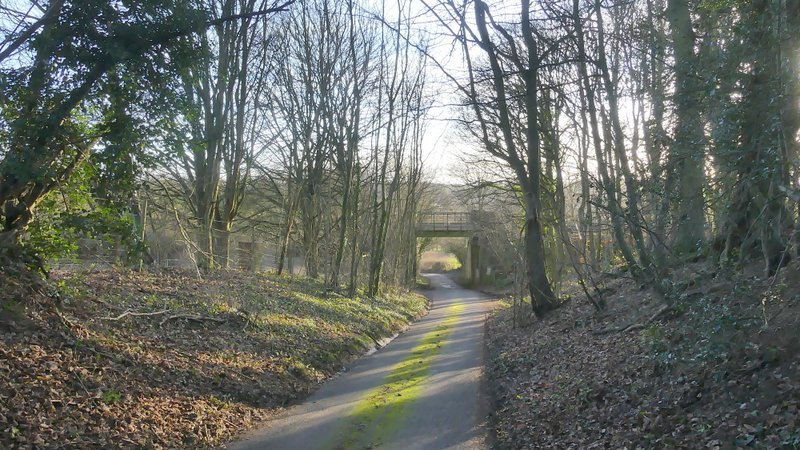
When I reached a junction with Chalk Lane, instead of immediately going right, towards Little Missenden, I went left for maybe a quarter of a mile (to just past a small wood on the left) in order to see the remains of a 'motte and bailey' castle that was marked on the OS map. Having taken a couple of photos, I returned to the junction and followed Chalk Lane downhill, under a railway bridge, and on to where it ended at the A413. I then just had to cross the road, go down Taylor's Lane (almost opposite) into Little Missenden, turning right at its end to reach the village church and my parked car.
'Castle Tower Motte and Bailey' according to the OS map, in a field next to Chalk Lane
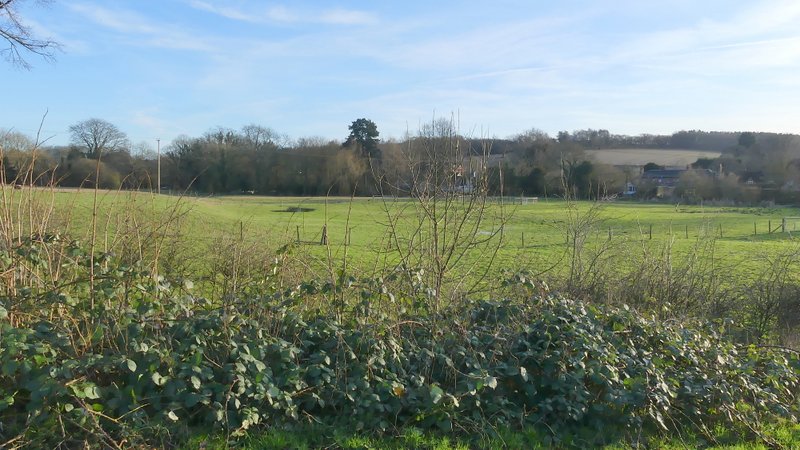
View left from Chalk Lane
Chalk Lane
View left from from Taylor's lane
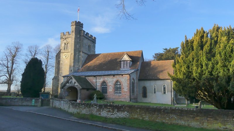
Little Missenden church
It was nice to have unbroken blue skies for a change, even though this meant it was a cold day, the temperature being between 3 and 6C. Apart from the long trudge across the huge ploughed field (where at least I had a nice view ahead of me) this was yet another enjoyable walk. I think this is a good route and I have tried to see how I could incorporate most of it into a longer rute, nearer my usual 12-15 miles, but haven't so far seen how I can do that. But if sometime ill health (I'm still struggling with a minor back problem) or shortage of time mean I can only manage an 8-mile walk, I'm sure I'll do this walk again.