Pete's Walks- West Wycombe, Green End, Bradenham, Downley (page 4 of 4)
I crossed a drive (going to Cookshall Farm, away to my right) and continued on along the bridleway. At a very narrow fork I kept left (a house was just visible along the other path). Eventually (maybe half a mile from crossing the drive) I reached Downley Common, where I saw the second cricket pitch on this walk. I turned right and followed a lane as it turned left around the edge of the cricket pitch. I went past a footpath sign on my right, but a few yards further on turned right along a bridleway. It generally ran between hedges either side, in a south-westerly direction, and soon started to gradually drop downhill. After several hundred yards I passed a wood on the right, then after half a mile or so the bridleway merged with another one coming in sharply from the left. I continued downhill until eventually the bridleway reached a drive coming from Cookshall Farm, where I turned left.
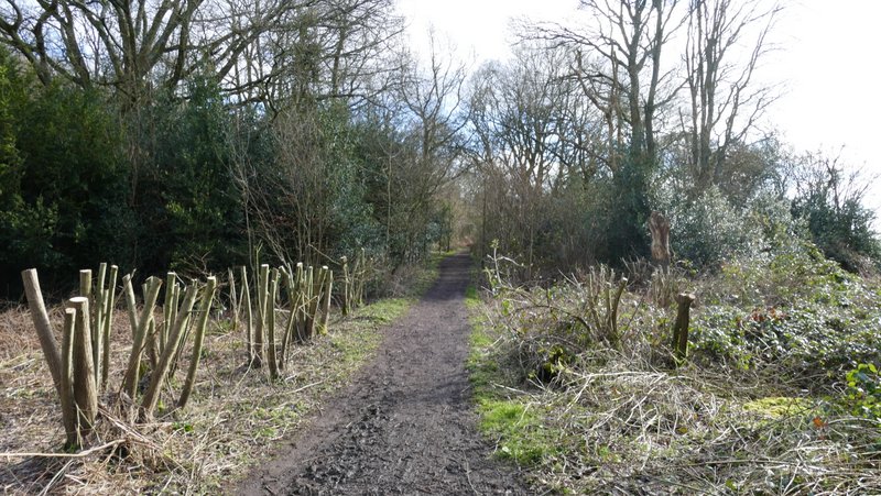
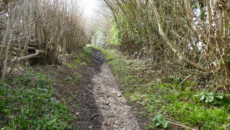
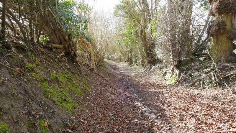
The bridleway going south on Naphill Common, just after crossing the drive to Cookshall Farm
The bridleway going south on Naphill Common
The bridleway going south on Naphill Common, just before reaching Downley Common
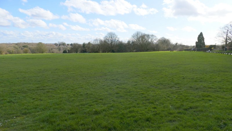
The cricket pitch at Downley Common
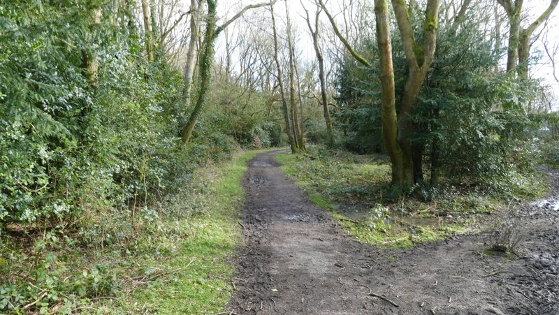
The bridleway going southwest from Downley Common
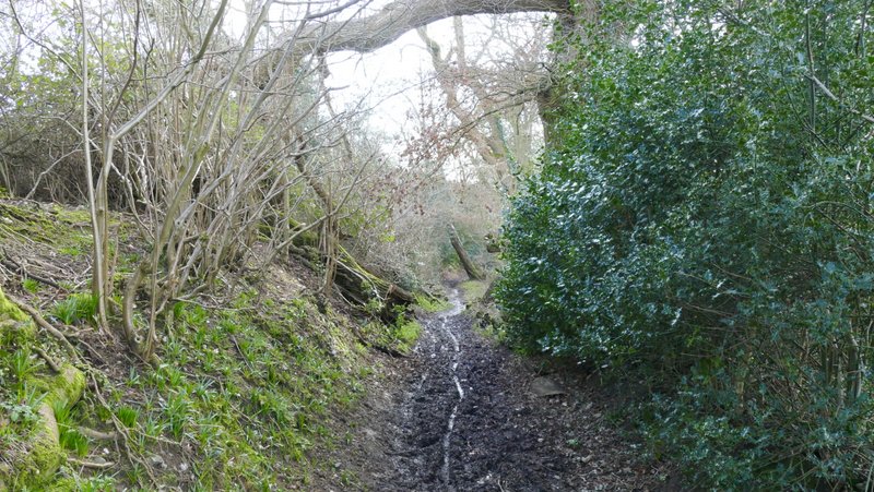
The bridleway going southwest from Downley Common
The bridleway going southwest from Downley Common
The bridleway going southwest from Downley Common
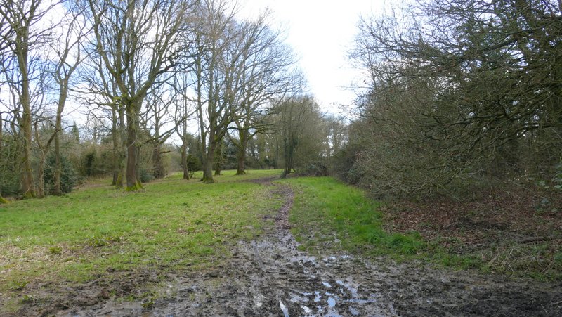
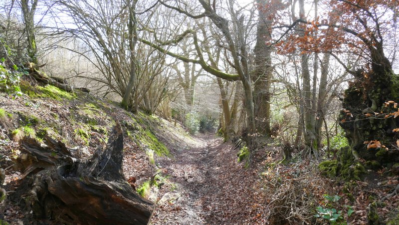
The bridleway going southwest from Downley Common - this is after the two bridleways merged
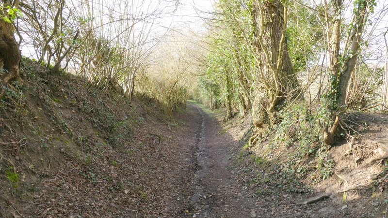
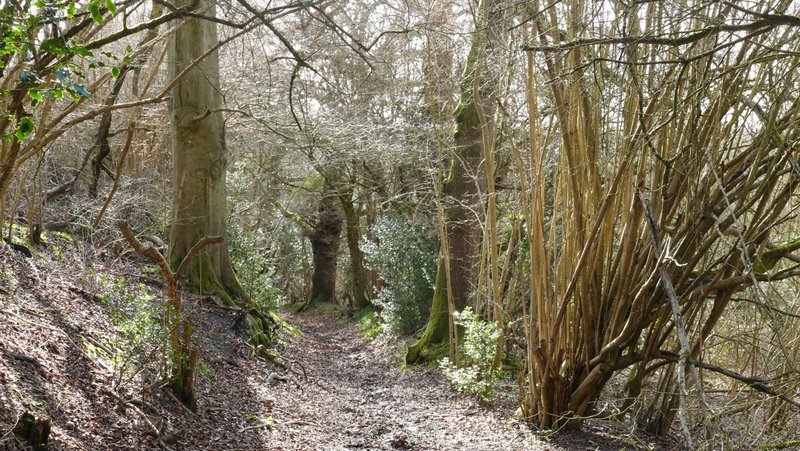
The bridleway going southwest from Downley Common
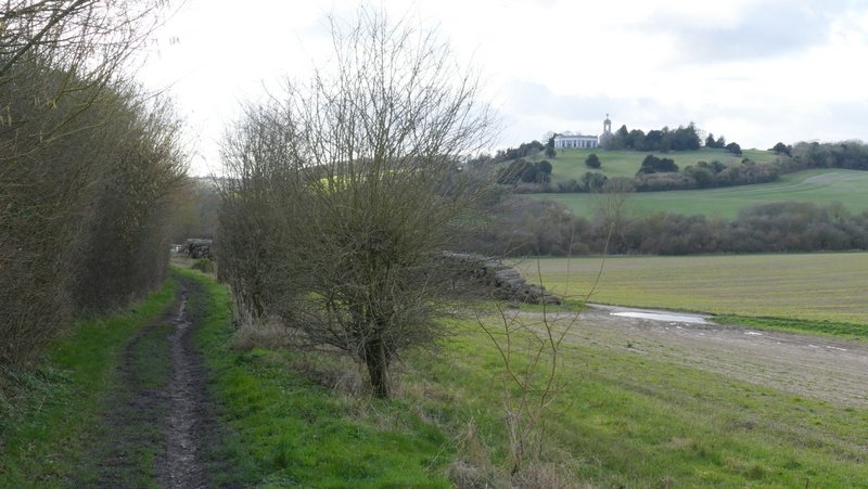
The bridleway just before it joins the drive heading into West Wycombe
The drive soon went under a railway bridge and became a residential street. At its end, I turned left to immediately reach a roundabout. Here I turned right to follow the A40 through the old houses and shops of West Wycombe. On the far side of the village, I turned right to return to the village car park.
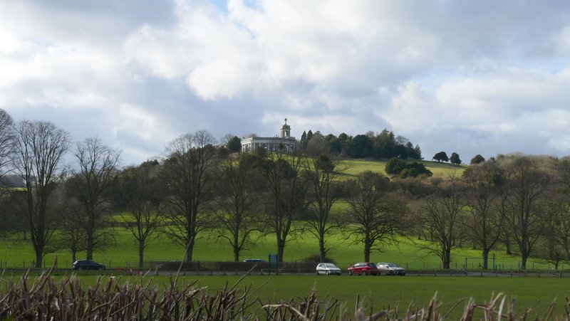
View towards the Dashwood Mausoleum and St Lawrence's church on West Wycombe Hill
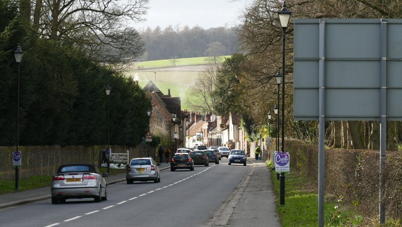
The A40 heading into West Wycombe
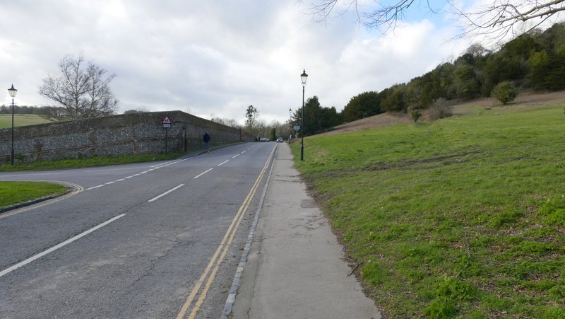
The road back to the car park
I got back to my car about 15:25, so allowing for a 10-minute lunch break the 7.6 mile walk took me about 3 hours and 3o minutes, 20 minutes longer than when I walked it in 2015. Some of that extra time was due to the very muddy conditions in the latter part of the walk - until I reached Naphill Common I'd been very pleasantly surprised how dry the paths had been, but thereafter the paths and bridleways were just as bad as I feared they might be, the bridleway from Downley Common being particularly bad. But that didn't spoil what had been a really good walk on a nice sunny day (cold though). There were lots of good views, with the usual Chilterns mixture of hills and valleys, field paths and woods. It's certainly a walk I'd be happy to do again.