Pete's Walks - Studham Common and Roe End (page 1 of 2)
If you are considering walking this route yourself, please see my disclaimer. You may also like to see these notes about the maps and GPX files.
I did this roughly 5 mile circular walk on Sunday, 8th March 2020. It was a repeat of a walk I first did in October 2012, and which I've repeated (in both directions) a few times since.
I set off from the car park on Studham Common (Grid reference TL 027156) about 2.45pm, walking along the top of the common to a corner, where I turned left and followed the edge of the common downhill. In the valley bottom I turned right for a few yards along a surfaced track, then turned left along a public byway (initially with a waterworks on my right). I followed the hedge-lined track for about a third of a mile until it turned right, when I went straight on through some trees and followed the edge of Byslip Wood on my left.
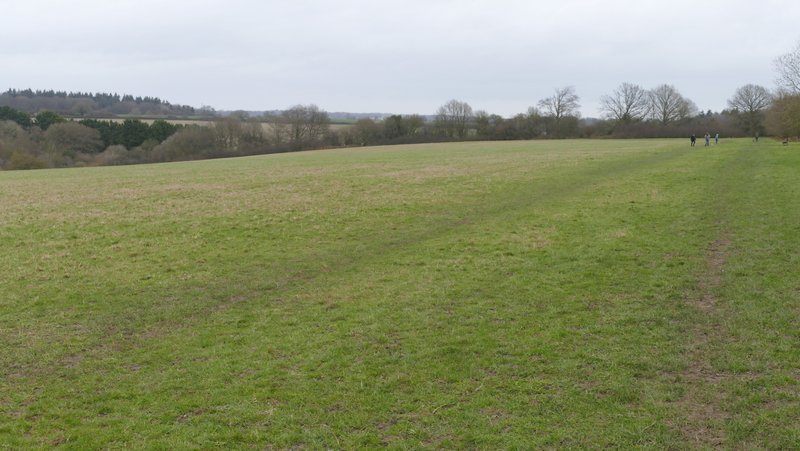
Studham Common
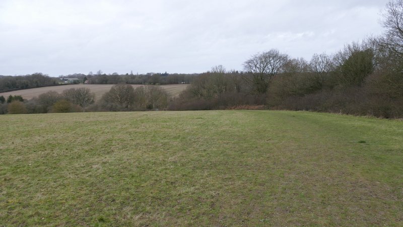
Studham Common after I turned left
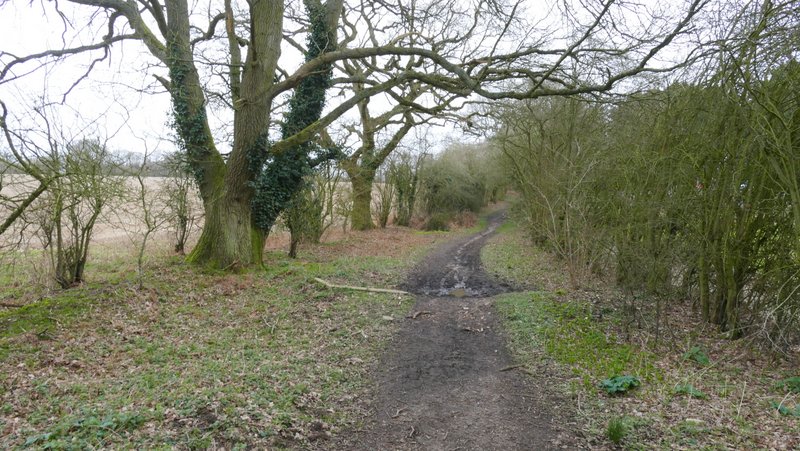
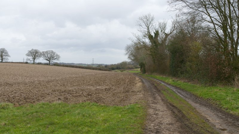
Near the start of the public byway to Roe End, passing the waterworks on the right
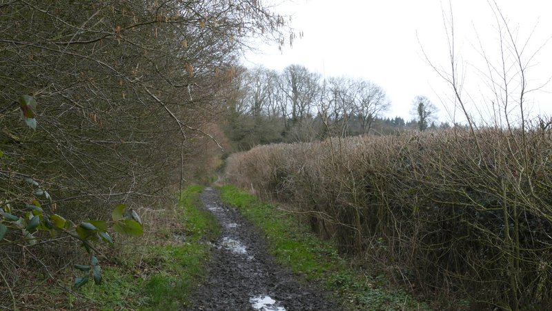
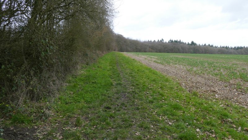
The public byway to Roe End - I turned off this track where it turns right
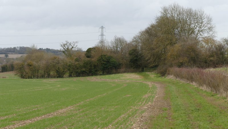
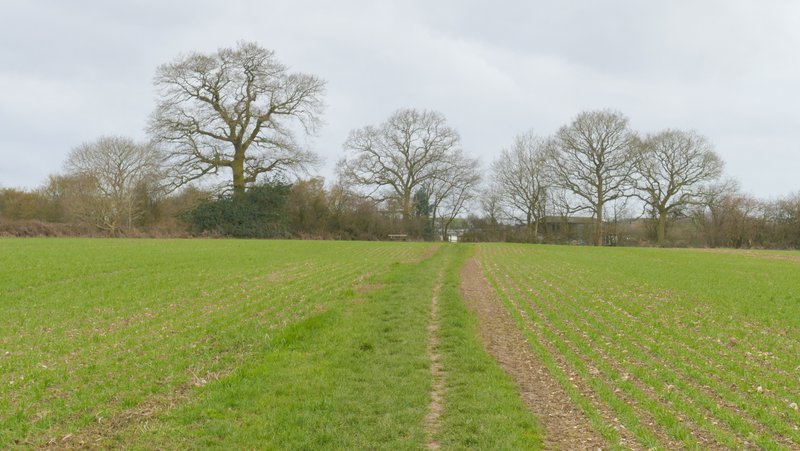
The path beside Byslip Wood
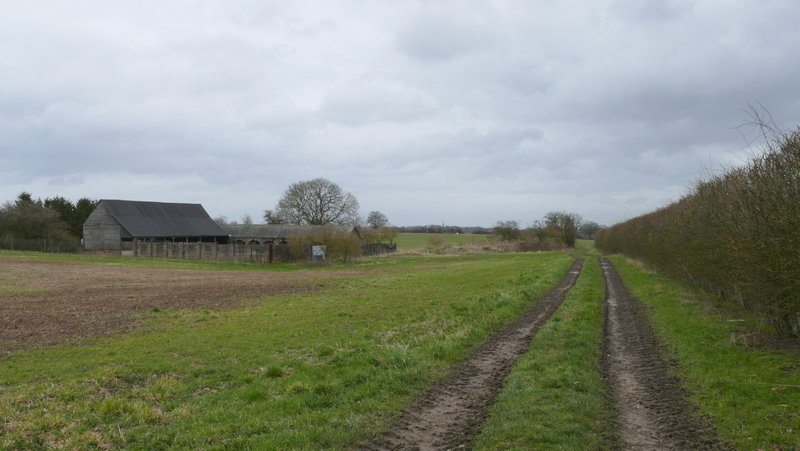
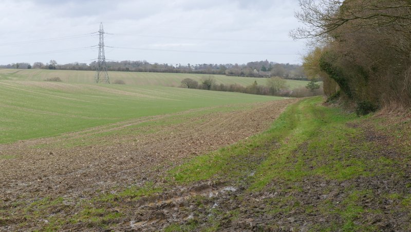
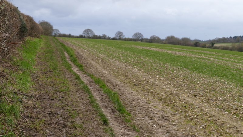
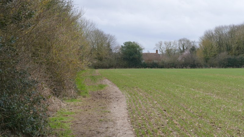
The path curved right and continued on beside the wood (which at some point became Fareless Wood), with a large field on my right. At the end of the wood I continued ahead on a farm track, soon passing some farm buildings at Buckwood Stubbs. After the next field the track turned right, but the footpath continued ahead along a grassy headland to a gate in a field corner. The path continued along a hedgerow on the right and finally ran between overhanging hedges beside a garden to reach Buckwood Road.
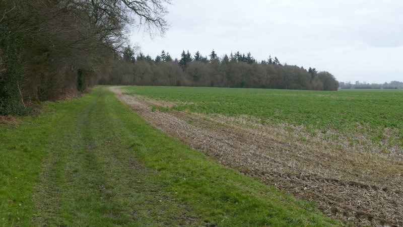
The path continuing past Fareless Wood
The path continuing past Fareless Wood
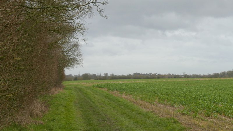
The path continuing past Buckwood Scrubs
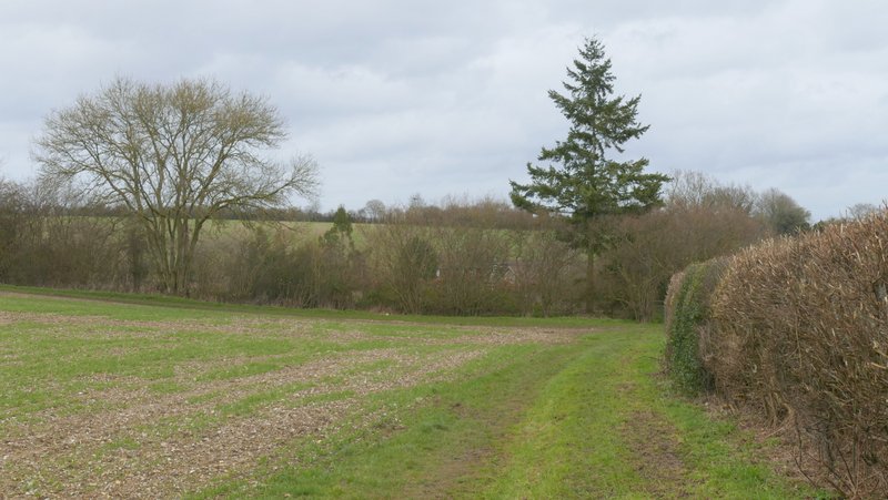
The path continuing from Buckwood Scrubs towards Markyate
The path to Markyate
The path to Markyate
Approaching the end of the path to Markyate
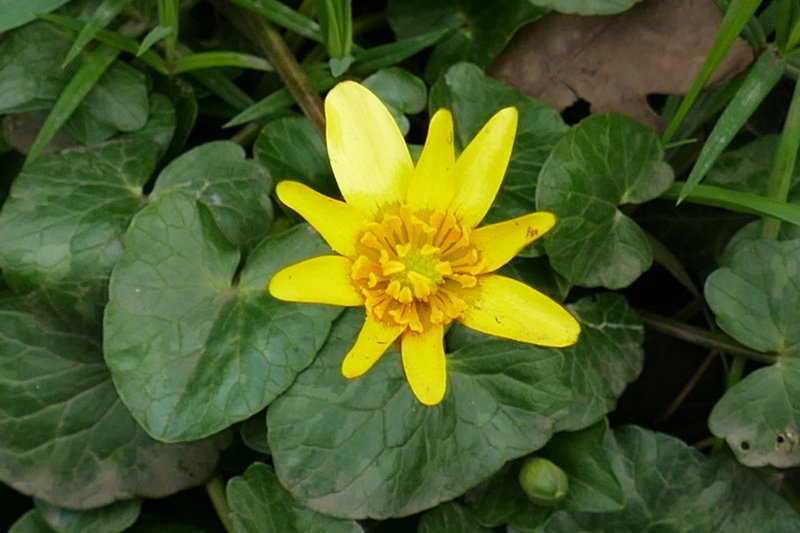
I turned right and followed Buckwood Road the short distance to Markyate (there was some Lesser Celandine growing beside the road). Immediately before the first house on the right, a path went right, between fences and a hedge. At a path junction I went half-right, following an initially intermittent hedge-line on my left gradually uphill. After about half a mile I reached a field corner, where I went through a kissing-gate and followed another hedge going half-left, with Roe End Farm over to my right. The path ended in the next field corner, where another kissing-gate brought me to Roe End Lane.
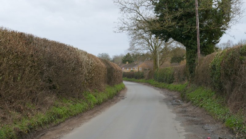
Buckwood Road, approaching Markyate
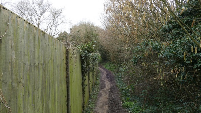
The start of the path from Markyate to Roe End
The path from Markyate to Roe End

The path from Markyate to Roe End
The path from Markyate to Roe End
Approaching Roe End