Pete's Walks- Kensworth, Roe End and Bison Hill (page 3 of 5)
If you are considering walking this route yourself, please see my disclaimer. You may also like to see these notes about the maps and GPX files.
I went left along the top of this eastern section of Studham Common to reach a small car park and a road. Over this, I continued along the top of the central third of the common, soon seeing a Common Spotted Orchid. Across another road, the path continued through the wooded western section of the common, soon bearing very slightly right and descending slightly. Emerging from the trees, I turned left and passed just left of a house as I left the common. A path followed the bottom of a valley, between an arable field and a hedgerow on my right. On reaching Valley Lane, Studham, I turned right, and at the top of the slight hill turned left into Church Road. After a short distance I took a bridleway on the left (another one I'd not walked for some years). This soon passed a field on my left, continuing on through some woods named Church Plantation and Mason's Grove, now close to fields on my right.
The eastern section of Studham Common
The central section of Studham Common
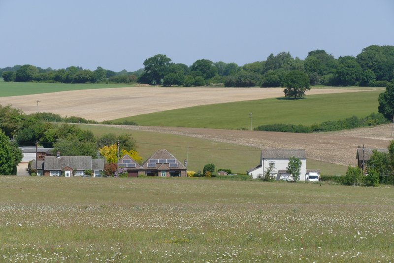
Part of Studham from Studham Common
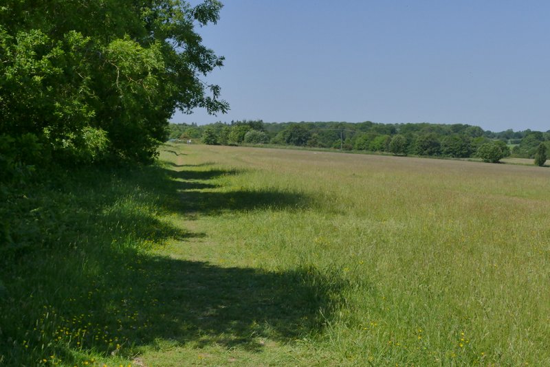
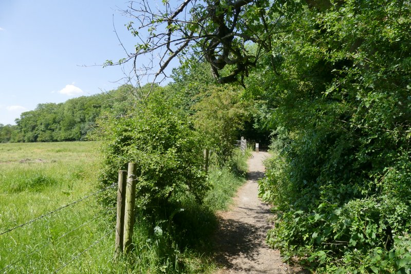
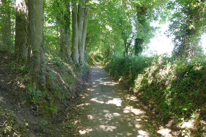
The western section of Studham Common
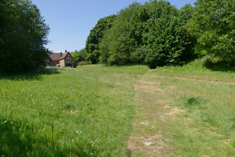
The western section of Studham Common - I turned left here and went just left of the house
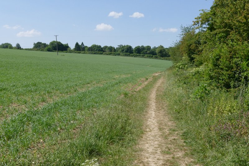
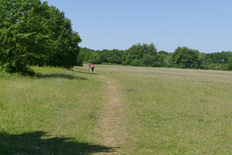
The path continuing from Studham Common to Valley Road
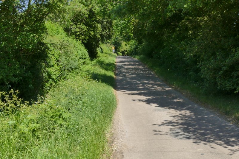
Valley Road, Studham
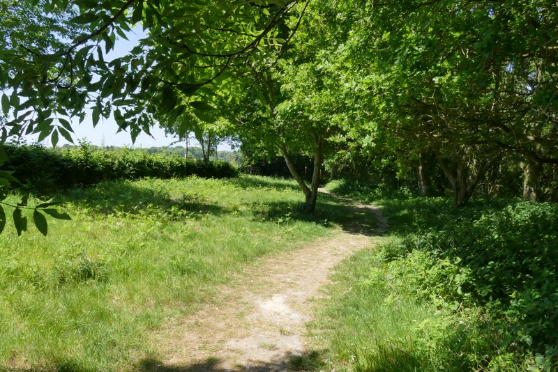
The start of the bridleway after I turned left from Church Road
The bridleway after I turned left from Church Road
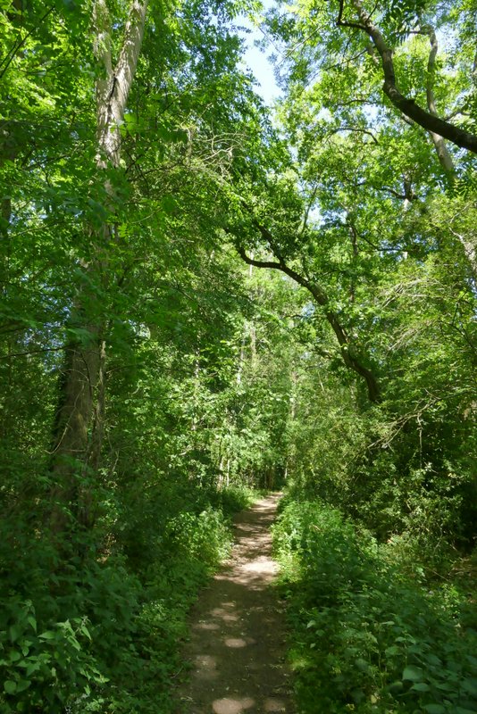
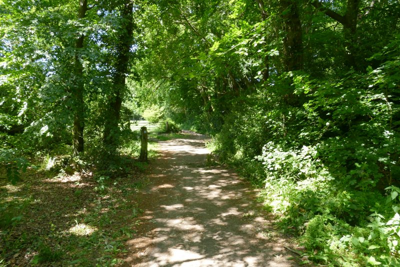
The bridleway continuing through Church Plantation
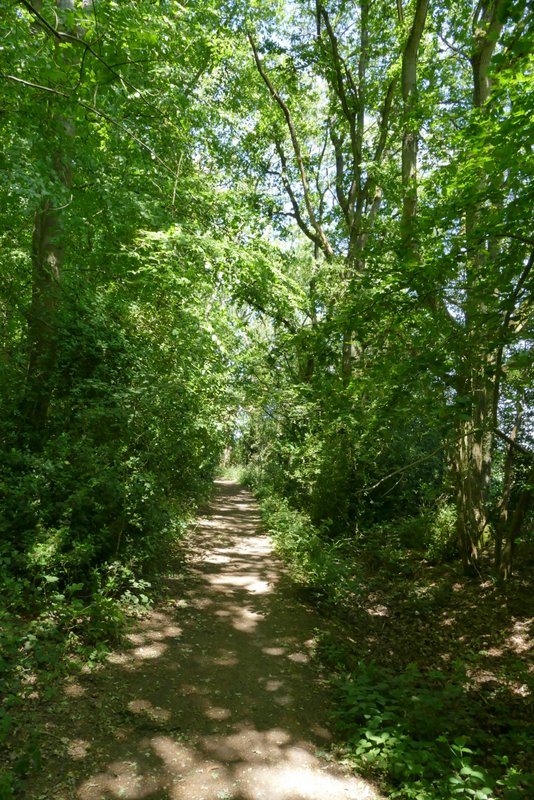
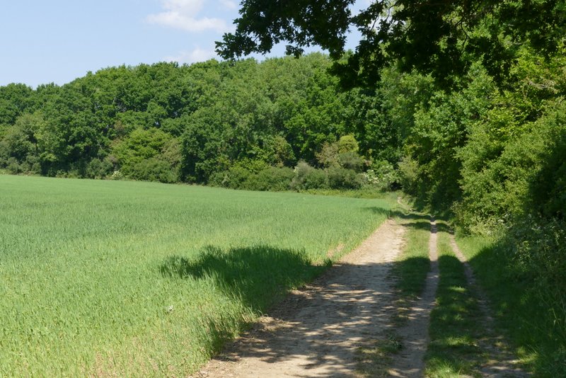
The bridleway continuing through Mason's Grove
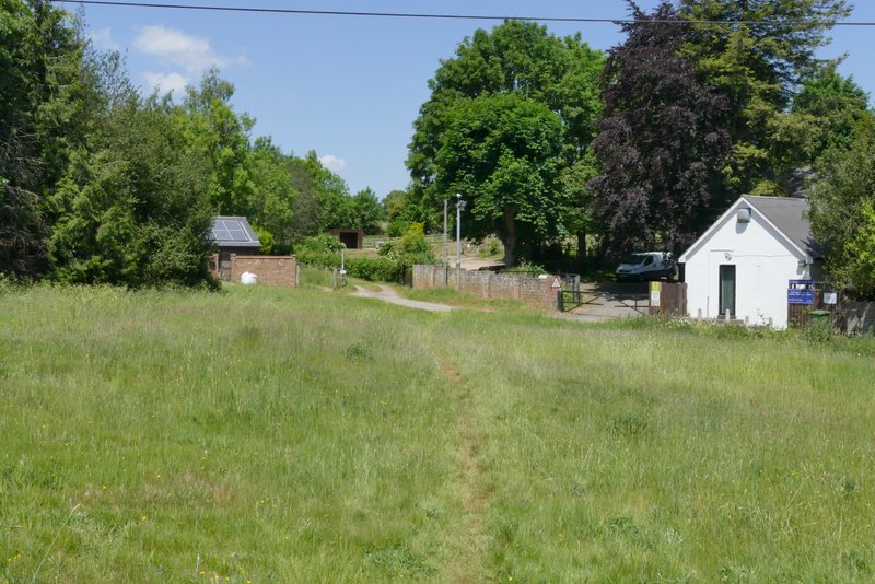
On leaving Mason's Grove, the bridleway went slightly right to follow a mature hedgerow on my right. The bridleway dropped gently down into a small valley and up the other side, with a large ploughed field on my left. It continued through a small meadow to reach a small bit of wood, where I went straight on at a path junction. The wood quickly ended, with the path continuing between a tall hedgerow and the fence of Whipsnade Zoo on my left. The bridleway ended when it met the former lane from Holywell to Whipsnade, where I turned left. On reaching the green at Whipsnade, four paths started through the grass on my left. The left-most one followed the hedge on the left, but I took the next one, which soon passed between a few trees or bushes into a larger grassy area. I continued on as the path gradually curved right, almost forming a semi-circle (again I hadn't walked this path for some years), staying quite close to a line of trees or hedge over to my left. This brought me to the solitary road through the village almost opposite a drive (to the former Activity Centre which is now sadly closed), where I crossed over and went half-left across the grass to the start of a bridleway heading to Bison Hill (see bottom photo).
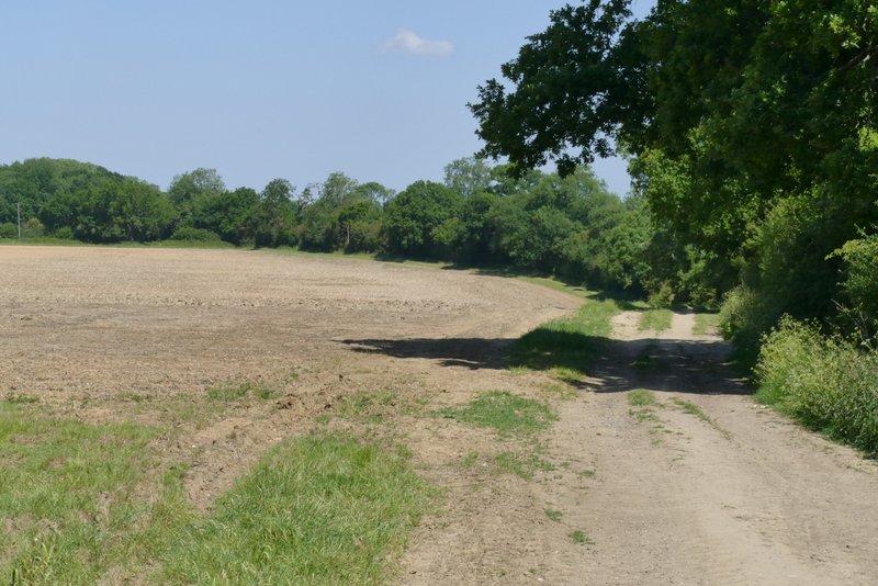
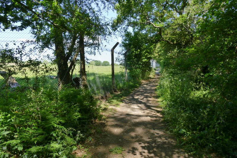
The bridleway continuing from Mason's Grove towards Whipsnade Zoo
The bridleway continuing from Mason's Grove towards Whipsnade Zoo
The bridleway continuing alongside the zoo fence
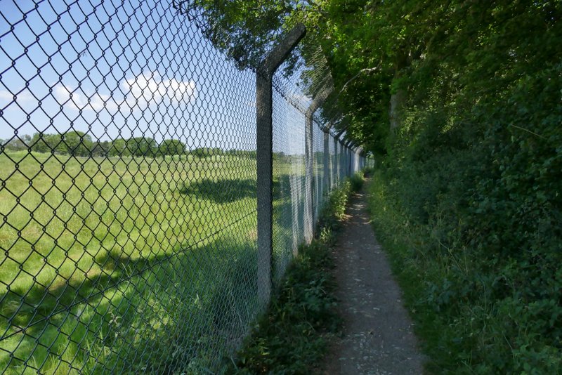
The bridleway continuing alongside the zoo fence
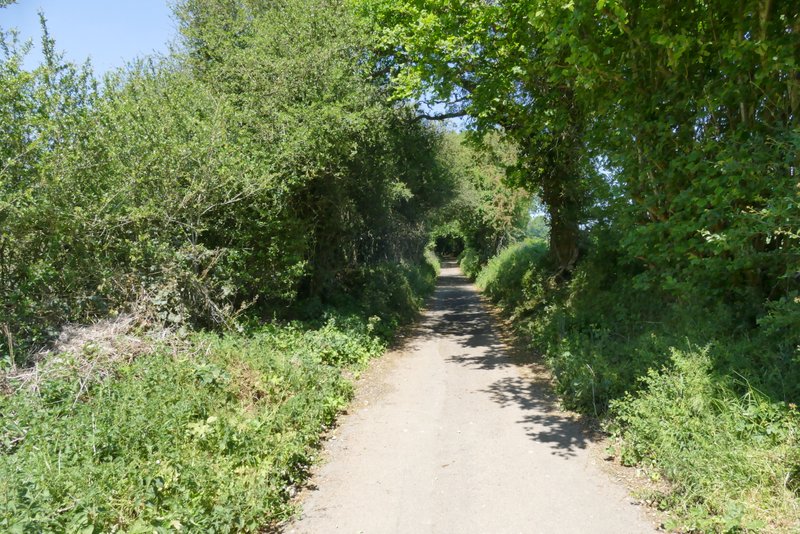
The old lane from Holywell to Whipsnade
he old lane from Holywell to Whipsnade
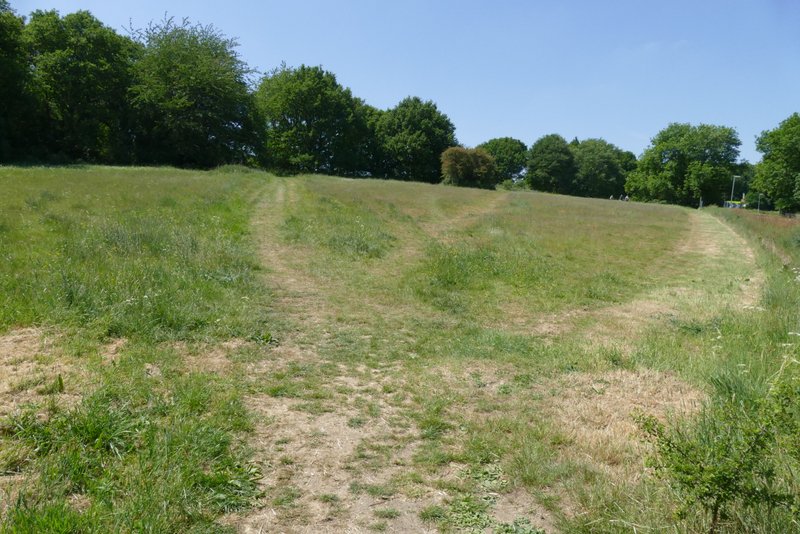
The Green at Whipsnade
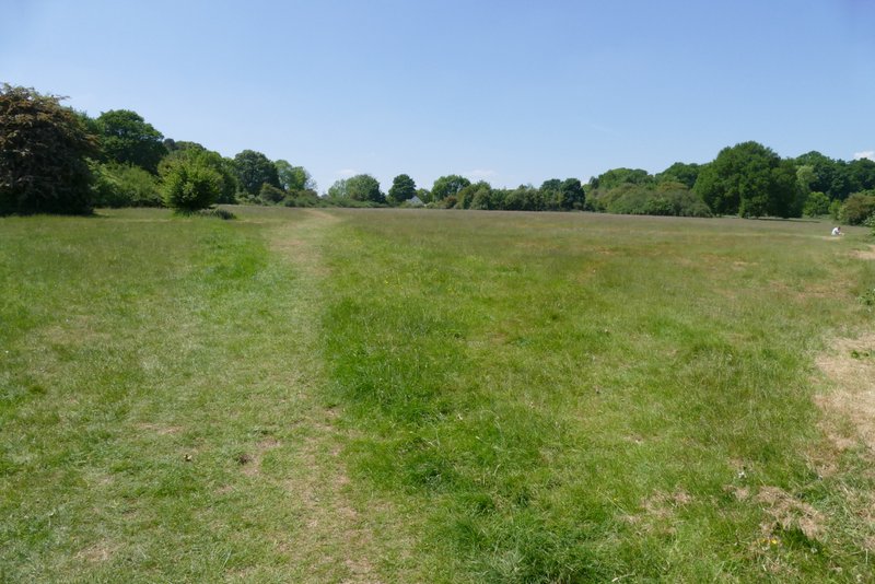
The Green at Whipsnade
The Green at Whipsnade - the bridleway to Bison Hill starts just left of the track in the centre of the photo