Pete's Walks - Walk from Maidensgrove (page 4 of 6)
If you are considering walking this route yourself, please see my disclaimer. You may also like to see these notes about the maps and GPX files.
Google map of the walk Download GPX file of the walk
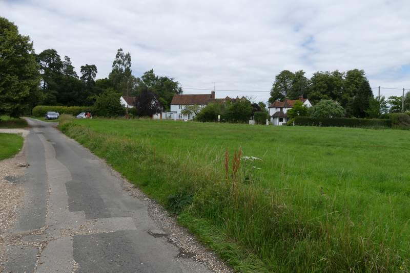
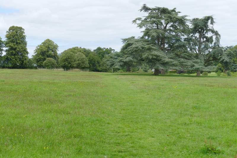
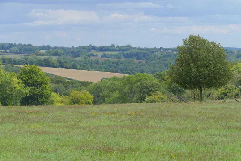
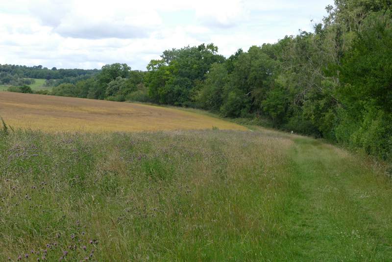
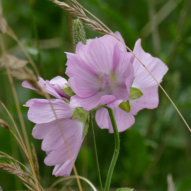
I kept left at a lane junction in Crocker End, and then took a footpath starting almost opposite the end of the lane. There was a fine view eastwards (right) as I crossed the parkland around Soundess House (possibly once the home of Nell Gwynne). On the far side I turned right along a drive, then turned left along a track past Soundess Farm on my left. A wood called Stockings Plantation was on my right, and the path continued with this wood on my right as it next went along the edge of a large corn field. A strip of the field next to the path had been left as a 'conservation area' and I saw my first Musk Mallow of 2020 growing here. After a few hundred yards a white post with waymarks indicated where the path turned half-right, running between trees on the right of an empty pasture, with the wood still a few yards to my right. Finally the path went half-left across an empty pasture, dropping downhill to a major path junction in the valley of Upper Bix Bottom (where the southern extension branches off the original route of the Chiltern Way).
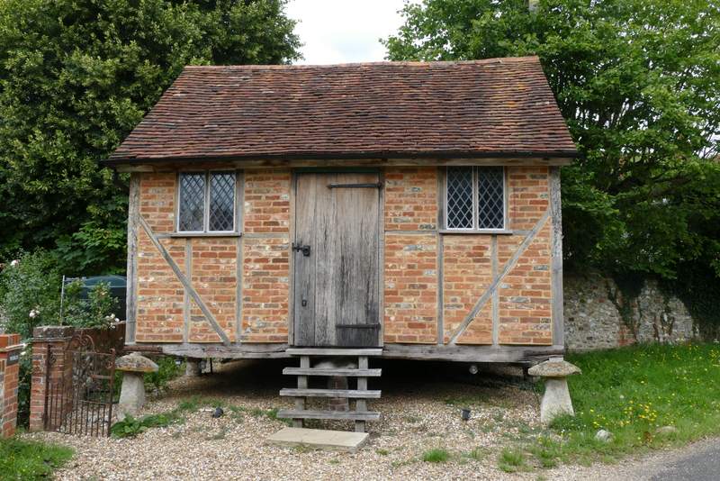
Old building in Crocker End
Crocker End
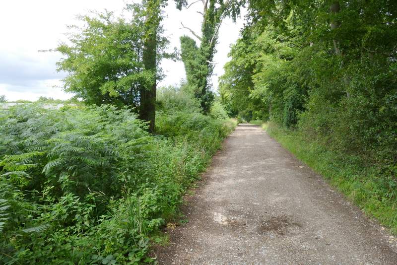
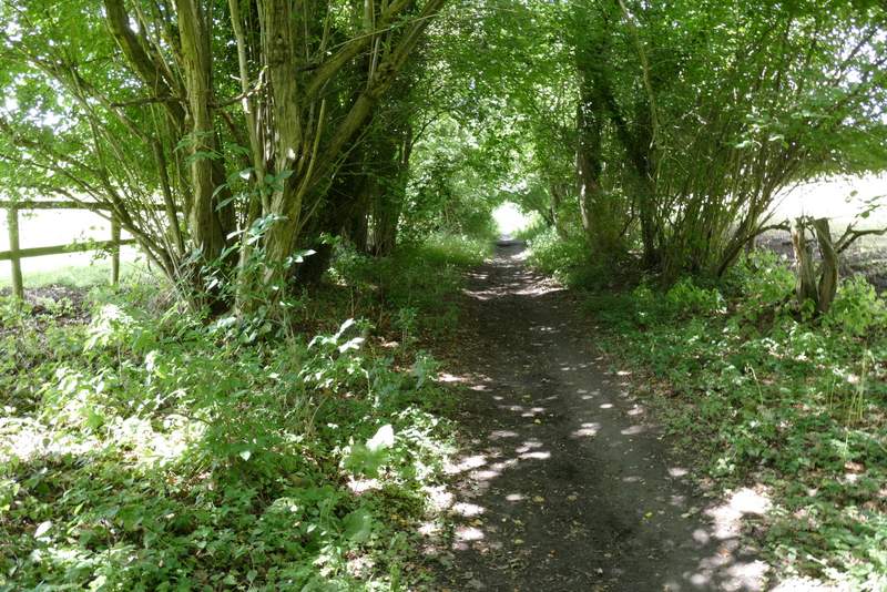
The path from Crocker End
View right from the path from Crocker End
The track past Soundess Farm
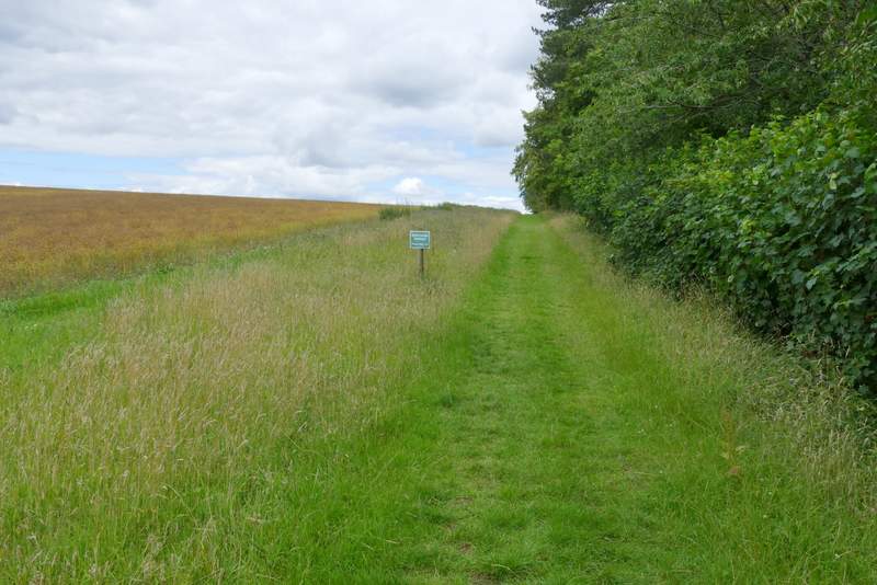
The path continuing from Soundess Farm
The path continuing from Soundess Farm
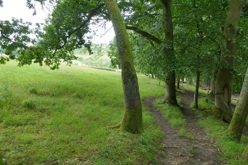
The path after it turns right
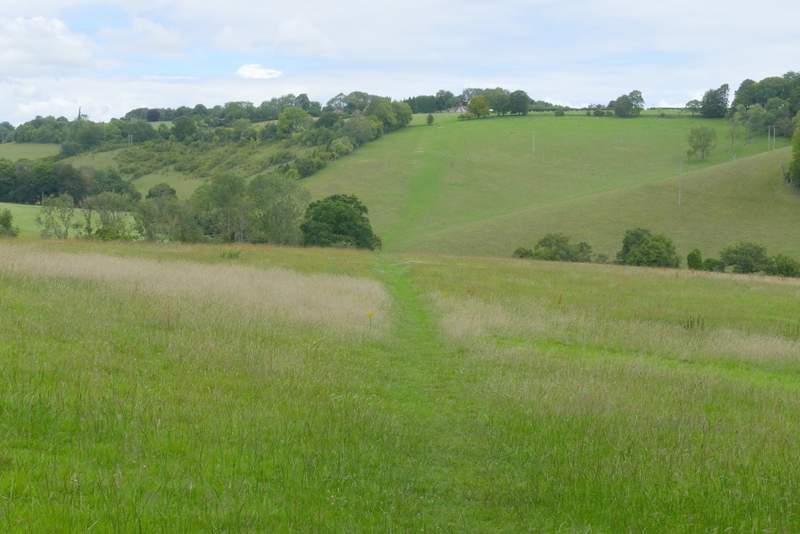
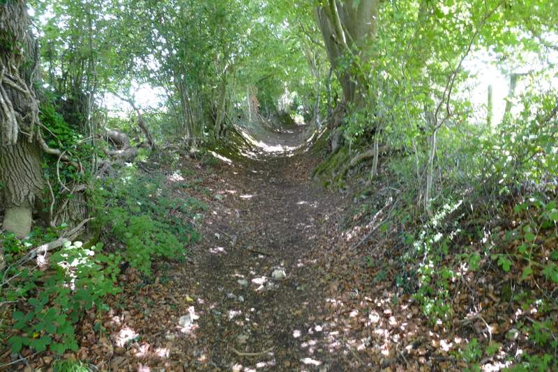
The path descending into Upper Bix Bottom
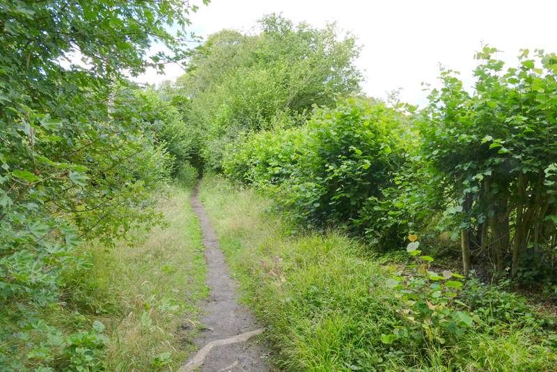
I followed a track continuing in the same direction as I'd been heading before, along a valley bottom. I went straight on where the Chiltern Way turned left (at a slightly staggered path crossroads). After another half a mile or so (having passed an unsignposted junction where a bridleway went left), I reached another junction where I turned right, rejoining the Chiltern Way as it made its way uphill to the village of Russell's Water. I turned left to reach the large pond that gives the village its name (it once belonged to a blacksmith called Russell). I turned right, passing behind the pond, and then took a bridleway going left and then right between houses, that took me out to the edge of the huge grassy expanse of Russell's Water Common (my car was about a mile away at the other end of the common).
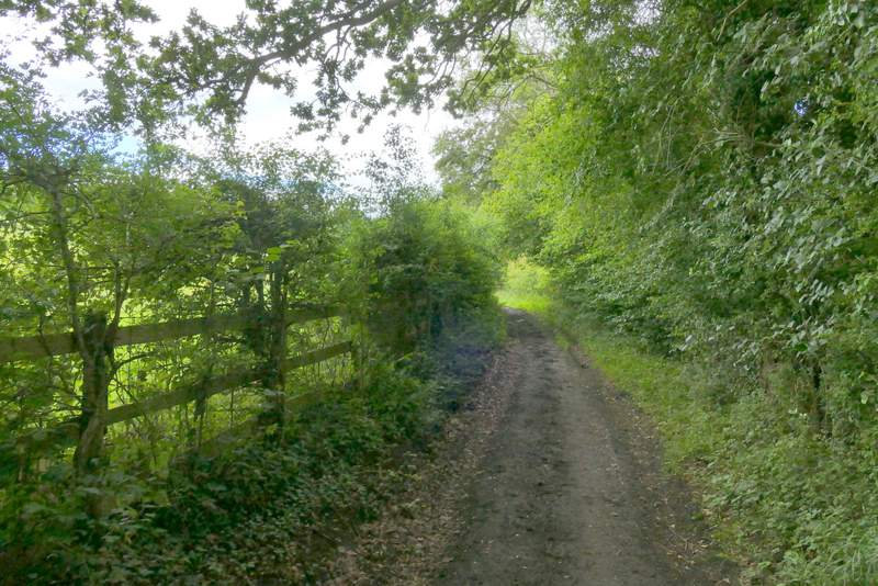
The bridleway along the valley bottom
The bridleway along the valley bottom
The bridleway along the valley bottom
The bridleway to Russell's Water, after I turned right
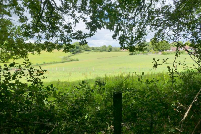
View left from the bridleway to Russell's Water
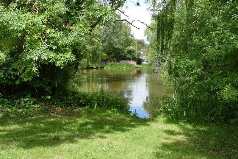
The pond at Russell's Water
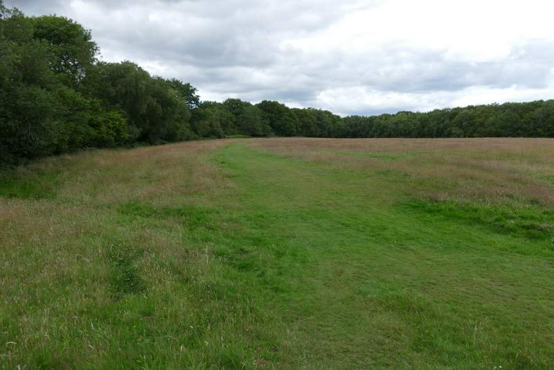
Russell's Water Common