Pete's Walks - Walk from Maidensgrove (page 6 of 6)
If you are considering walking this route yourself, please see my disclaimer. You may also like to see these notes about the maps and GPX files.
Google map of the walk Download GPX file of the walk
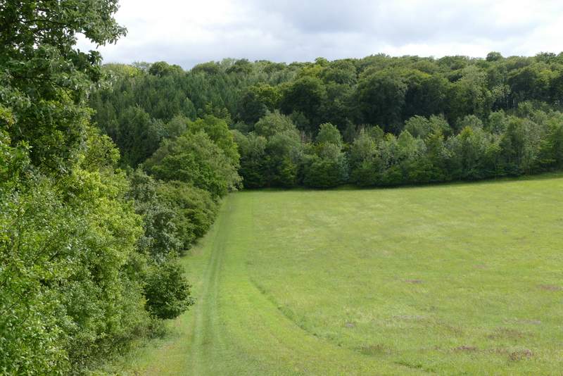
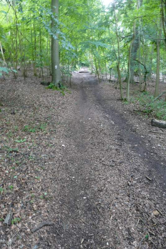
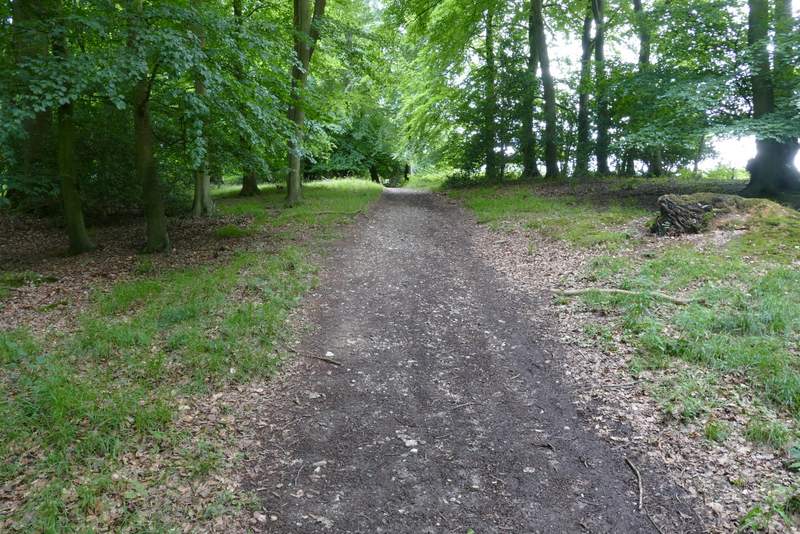
As I neared a metal gate on the northern edge of College Wood, I reached a path junction where I turned sharply right, leaving the Chiltern Way for the Oxfordshire Way. The path ran fairly level for a while before descending gently through the wood, and then ran for some distance along a valley bottom with a huge ploughed field to my right, to reach the road through Pishill. I went a few yards right, then took a lane on my left, going a short way uphill and passing the village church on my right, where I admired the view on my left towards the deer park around Stonor House.
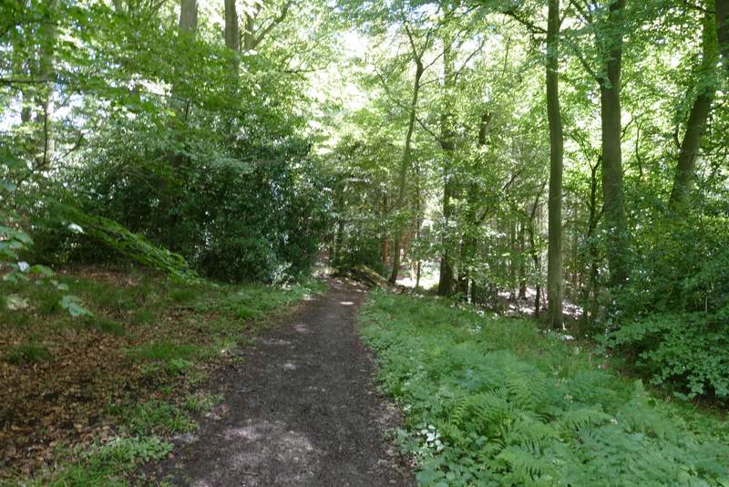
The path after I turned right near the edge of College Wood
The path through College Wood
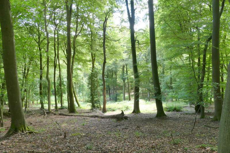
View right from the bridleway through College Wood
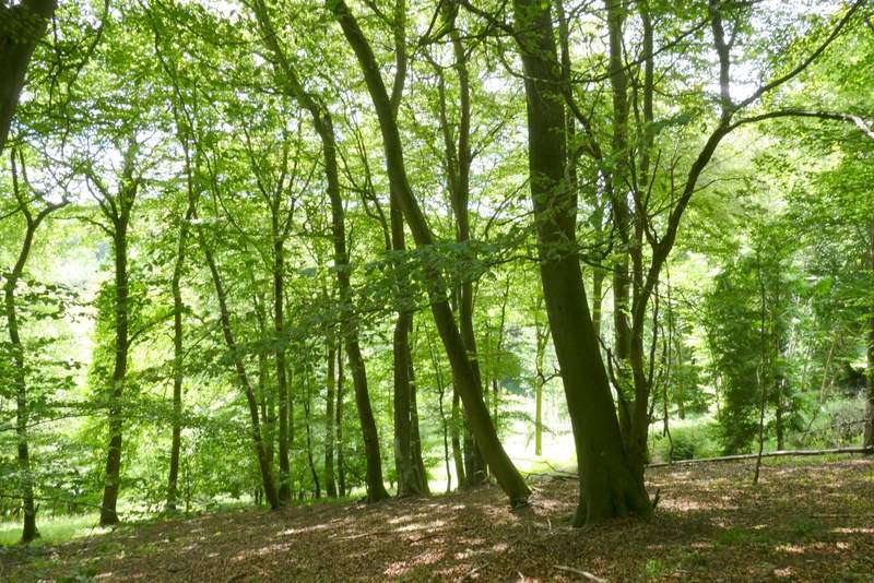
View right from the bridleway through College Wood
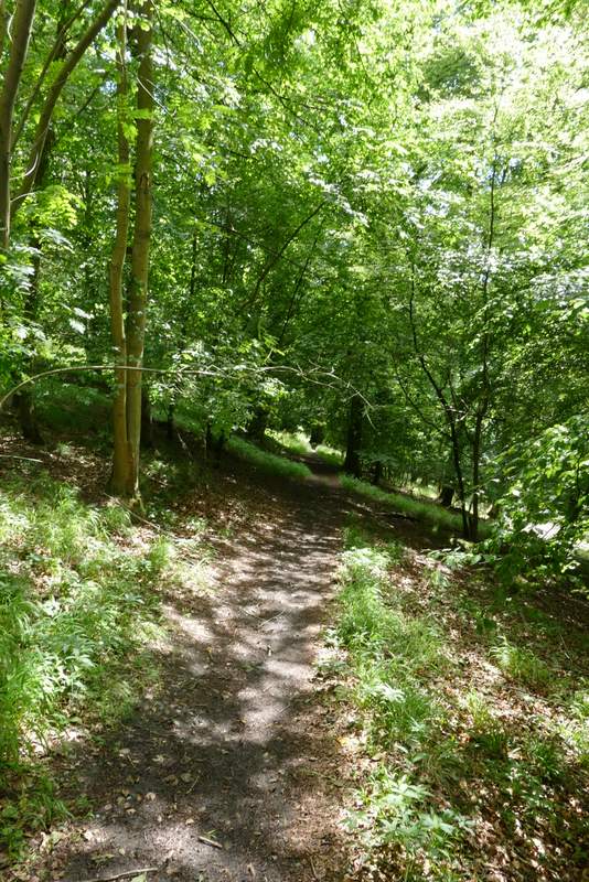
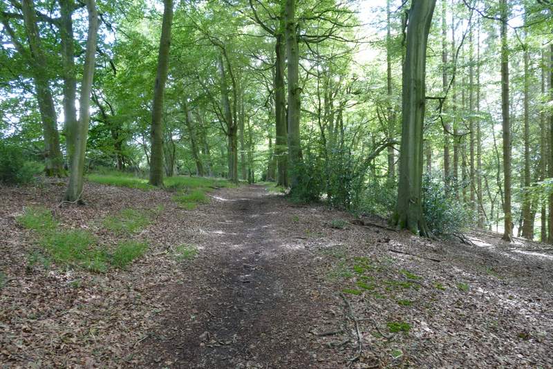
The path through College Wood
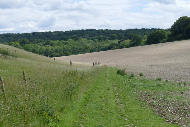
The path continuing to Pishill
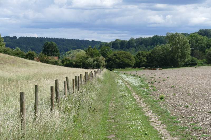
The path continuing to Pishill
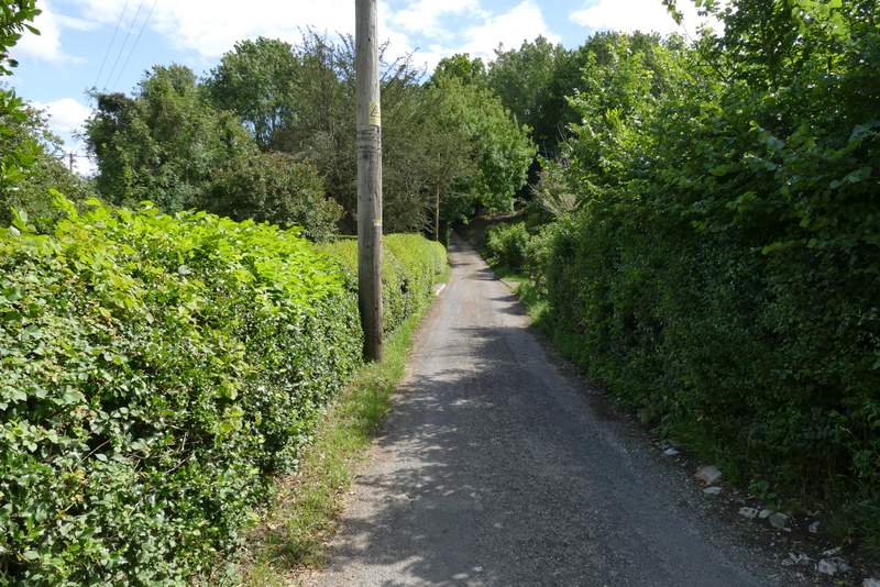
The lane to Pishill church
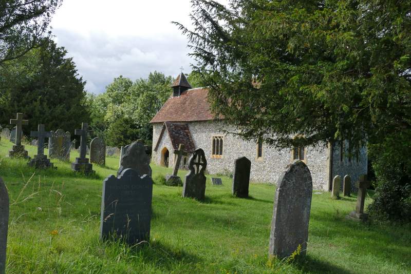
Pishill church
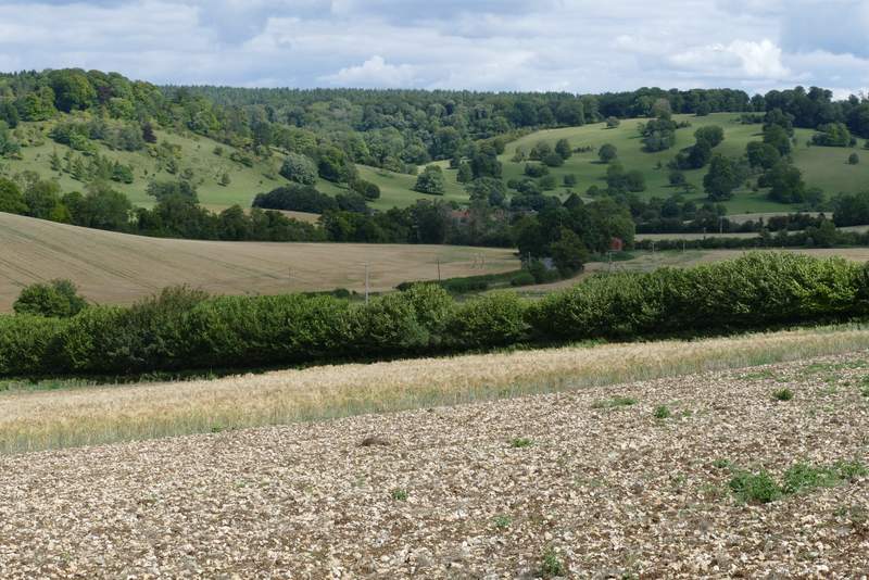
View toward the deer park around Stonor House, from near Pishill church
The lane soon became a drive, and shortly after I took the left-most of two bridleways going off on the left (the other initially runs parallel to the drive). The bridleway followed a hedge on my left, descending another valley and then climbing steeply uphill through yet another wood on the far side. Coming at the end of the walk, this steep climb was a bit of a struggle (I'm very overweight after the lockdown). After the slope had flattened off, I turned right (the OS map shows this as a path crossroads, in fact the path on the right is maybe a hundred yards past where the path on the left comes in), which soon led to a drive through some of the residences of Maidensgrove. I passed a small pond, and then at the end of the drive turned right to follow a lane across a small corner of the huge common to return to my car.
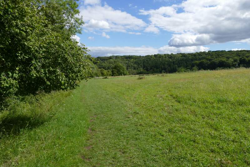
The bridleway from Pishill to Maidensgrove
The bridleway from Pishill to Maidensgrove
The bridleway from Pishill to Maidensgrove, going uphill through Pishillbury Wood
The bridleway from Pishill to Maidensgrove
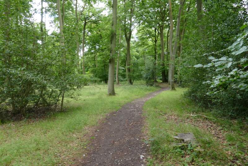
The bridleway from Pishill to Maidensgrove
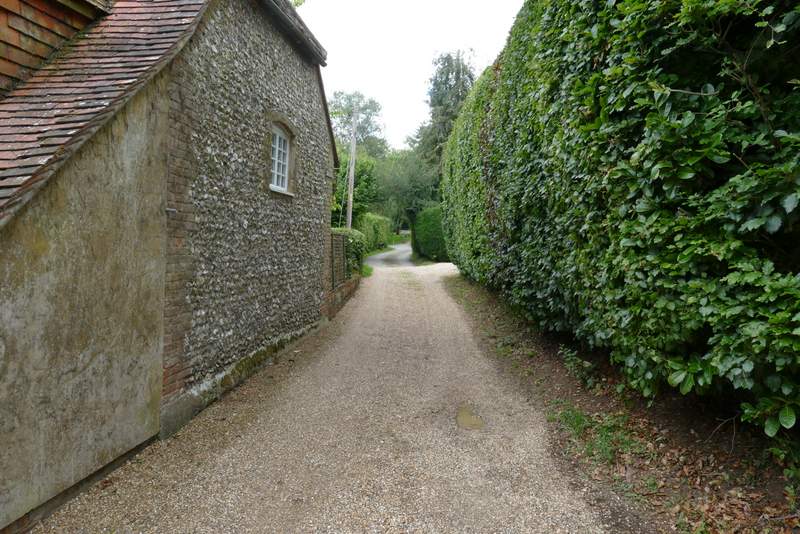
The start of the private road at Maidensgrove
At the end of my description when I did this walk in February 2010 I said "I really should have saved this route for a better day, it is so good it really deserves to be done on a fine sunny day when the views are at their best". Well, it's taken me over 10 years but I've finally done that! I certainly think it's a very enjoyable route, in one of the nicest parts of the Chilterns. There were was a great deal of up and down in the route (more than I'd remembered), and a good mixture of woodland and fields. The only reason it's taken me so long to do it again is because there are so many other fine walks from Maidensgrove Common, which is my favourite place for starting a walk in the Chilterns.