Pete's Walks - Shortened version of Ashridge Estate Boundary Trail (page 2 of 5)
If you are considering walking this route yourself, please see my disclaimer. You may also like to see these notes about the maps and GPX files.
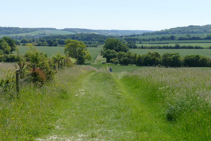
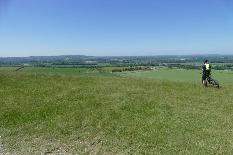
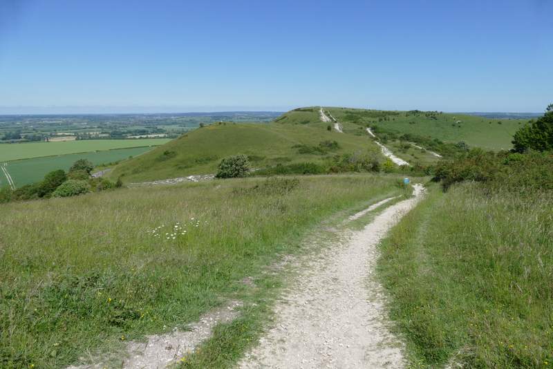
On the far side of The Coombe I went through a gate, the route then carrying straight on across an area of long grass for about a hundred yards before turning right at a waymark post. This path soon went through another gate, and continued along the right edge of a field of stubble. When the line of trees on my right ended, the path carried on across the field to reach a hedge corner, where it continued beside the hedge on my right. I then turned left along a track heading to the lower end of Gallows Hill (where there is a prominent tumulus or burial mound). At the top of this slope, I turned left and made my way to the top of Gallows Hill, continuing along a grassy ridge, with views over The Vale of Aylesbury on my right, to reach the top of Ivinghoe Beacon.
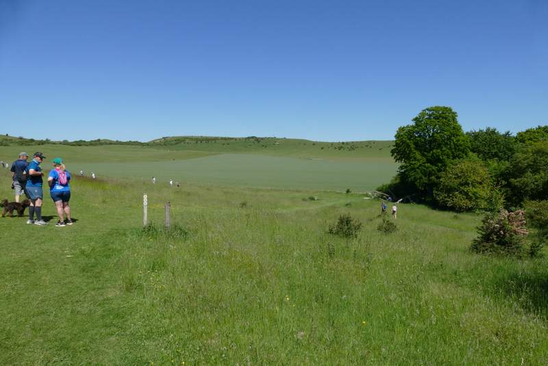
The path junction shortly after leaving The Coombe - I turned right here following the path down to the edge of the trees
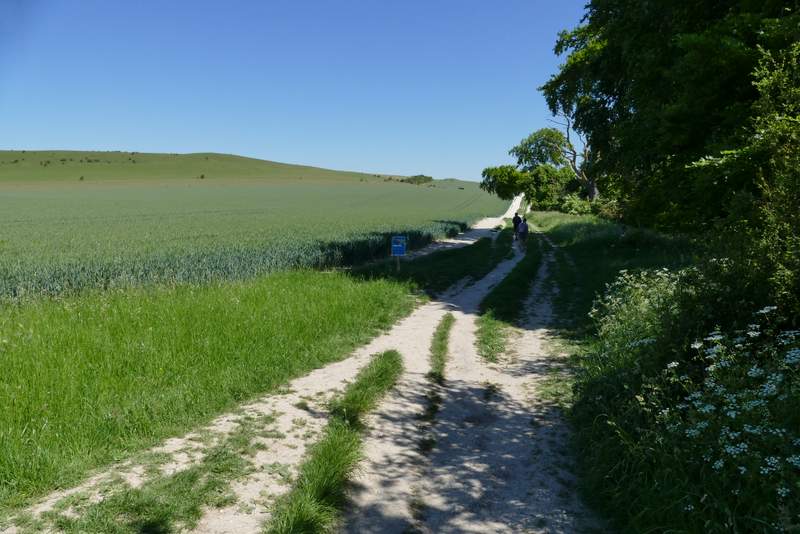
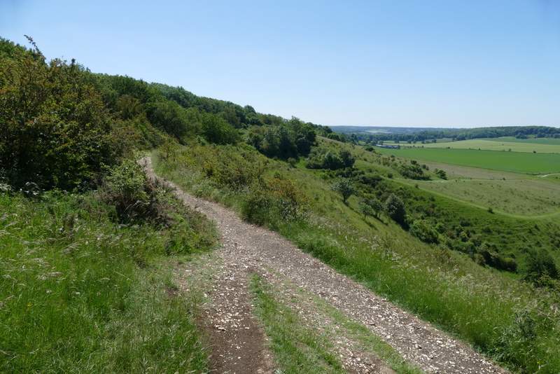
The chalky path continuing parallel to the ridge from Beacon Hill to Gallows Hill
The path up Gallows Hill after I turned left
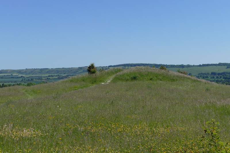
The tumulus on Gallows Hill
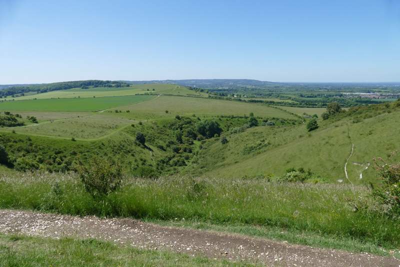
View back, towards the start of the Gade valley
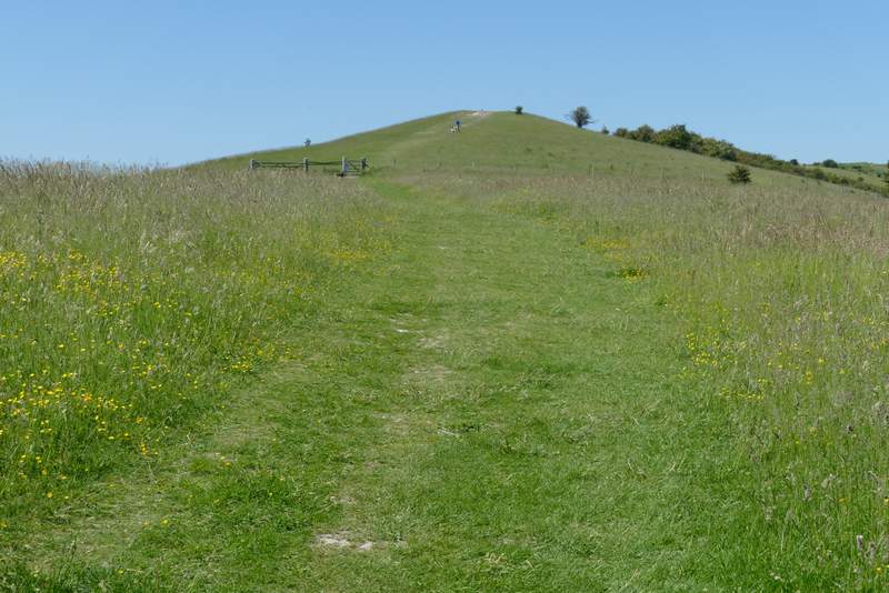
The path up Gallows Hill, from where I turned left again
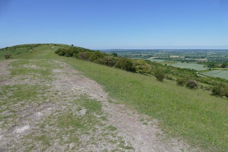
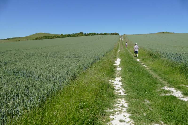
The path along the ridge from Gallows Hill to Ivinghoe Beacon
View back along the ridge towards the Dunstable and Whipsnade Downs
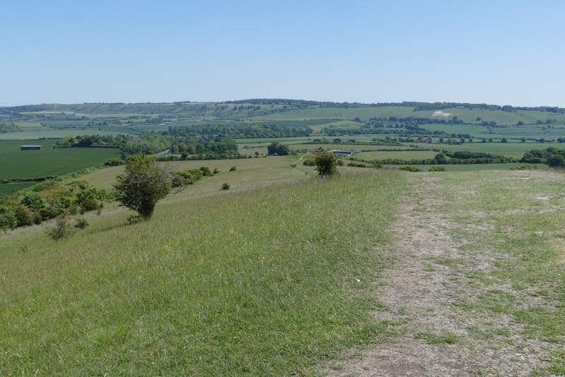
View over the Vale of Aylesbury from Ivinghoe Beacon
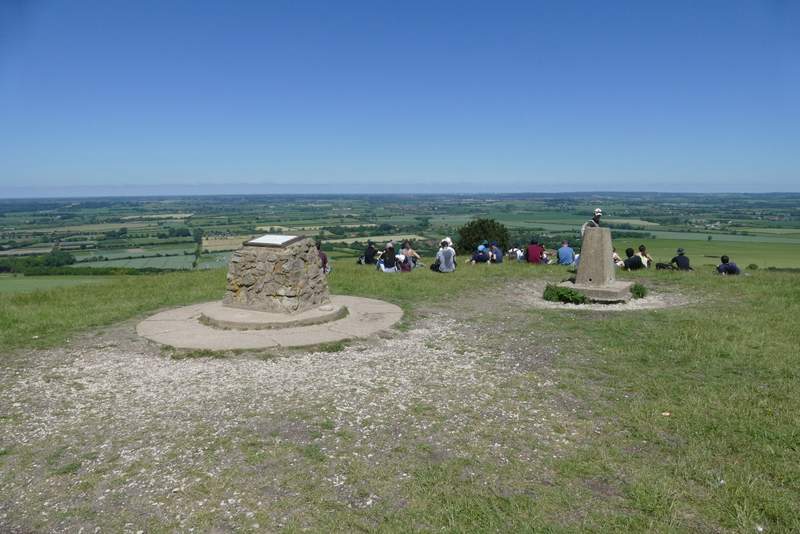
Lots of people enjoying the views from Ivinghoe Beacon
I then turned left, and followed a path down Ivinghoe Beacon - I should have kept straight on to reach a road, but just from force of habit I went over the smaller of the two hillocks here and then up the larger one, turning left at the top and descending it to reach the road. Soon after crossing the road, I went slightly wrong - I should have followed the white acorn sign of The Ridgeway as it forked slightly right (just behind a tree), but I misremembered this part of the route and just went straight on (I didn't see any waymark for the Ashridge Estate Boundary Trail at the junction, which is unusual as it is generally well signposted). But it made little difference, both paths leading to the top of Steps Hill. By a gate at a fence corner, I joined a chalky track and started to descend, soon turning right with the steep-sided valley of Incombe Hole on my right. On reaching a path crossroads by a field corner, I turned left off The Ridgeway and followed a path beside a fence on my right. After a while the path left the fence, and started uphill through some bushes. Over a stile, it followed a track up the now wooded slope to reach the main track from near Ivinghoe Beacon to the Bridgewater Monument in the centre of Ashridge.
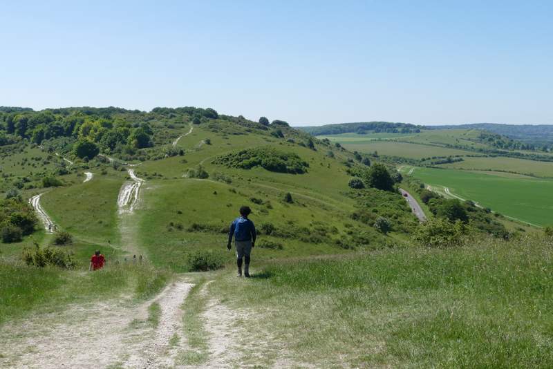
Going down from Ivinghoe Beacon, with a view ahead to Steps Hill
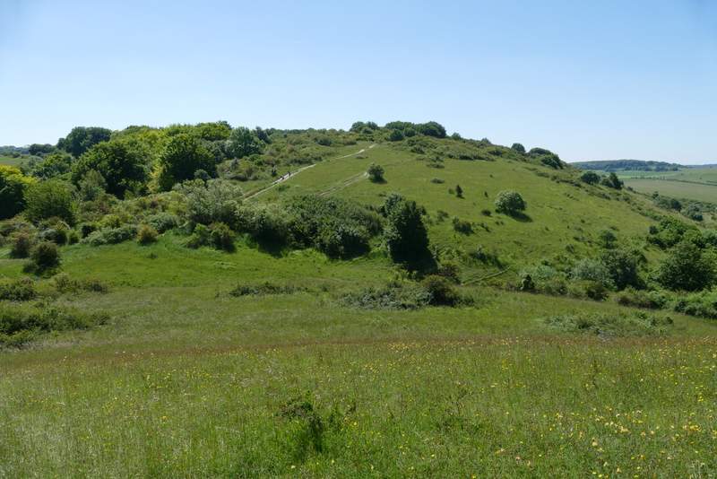
From the larger of the two hillocks near Ivinghoe Beacon, looking towards Steps Hill
From the path up Steps Hill, looking back to Ivinghoe Beacon (I had taken the wrong path here)
Incombe Hole
The Ridgeway path on Steps Hill (I followed it as far as the corner of the green field, where I turned left)
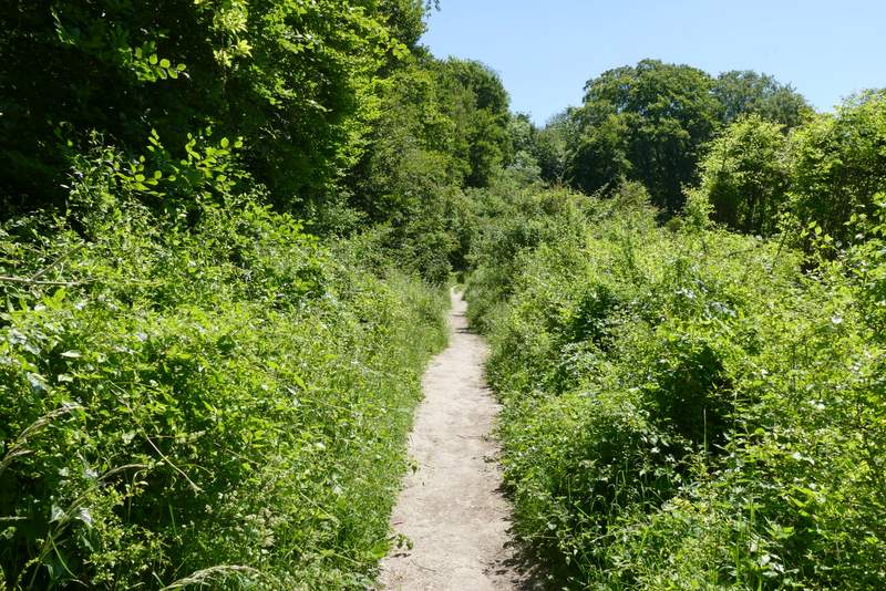
The path after I turned left from the Ridgeway path, where it goes through some bushes