Pete's Walks - Cowleaze Wood, Crowell, Stokenchurch (page 6 of 6)
If you are considering walking this route yourself, please see my disclaimer. You may also like to see these notes about the maps and GPX files.
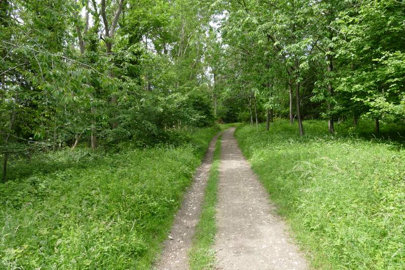
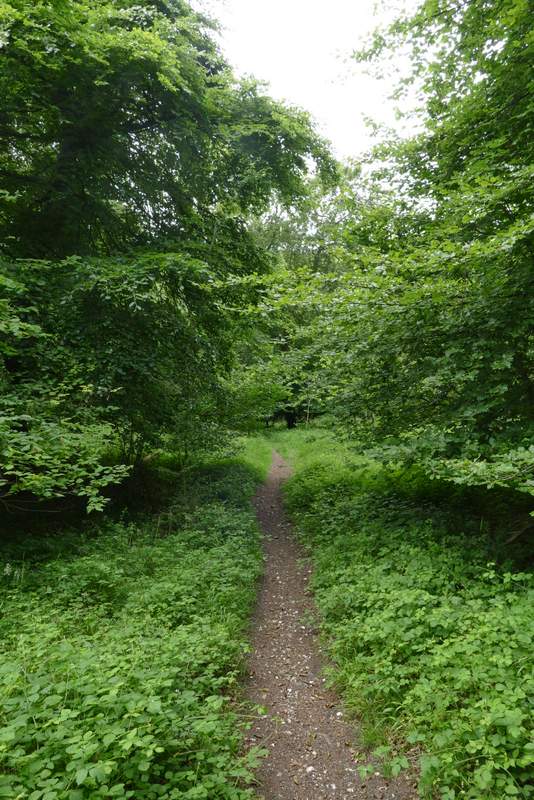
I went a very short way right along the road, then took a bridleway on the other side. Fairly soon this turned left and then gradually descended through Bowley's Wood for several hundred yards, before the bridleway turned right and continued down through the wood to reach the valley bottom near Woodend Farm on the Wormsley Estate. I crossed one of the estate drives and continued along a footpath that started to gradually rise uphill through Langleygreen Plantation. The path continued gently uphill through the wood, becoming a bridleway at some point, before levelling out. After walking through the wood on the path/bridleway for about half a mile I came to a path crossroads, where I turned left
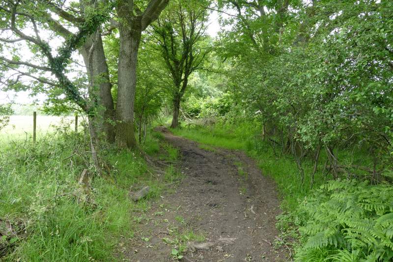
Near the start of the bridleway through Bowley's Wood
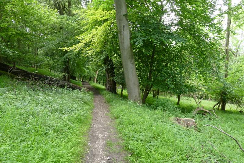
The bridleway through Bowley's Wood
The bridleway through Bowley's Wood
The bridleway through Bowley's Wood
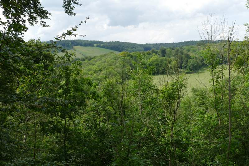
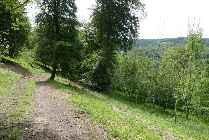
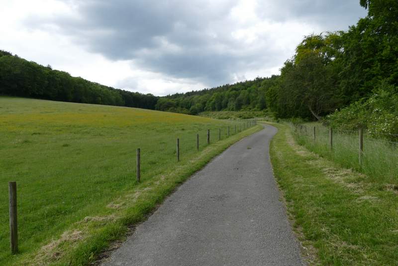
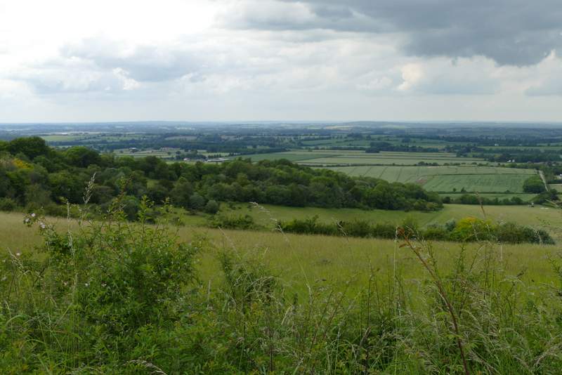
View right from Bowley's Wood (Cowleaze Wood is top left in this photo)
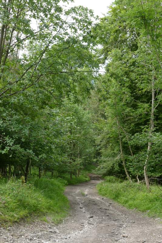
The bridleway through Bowley's Wood
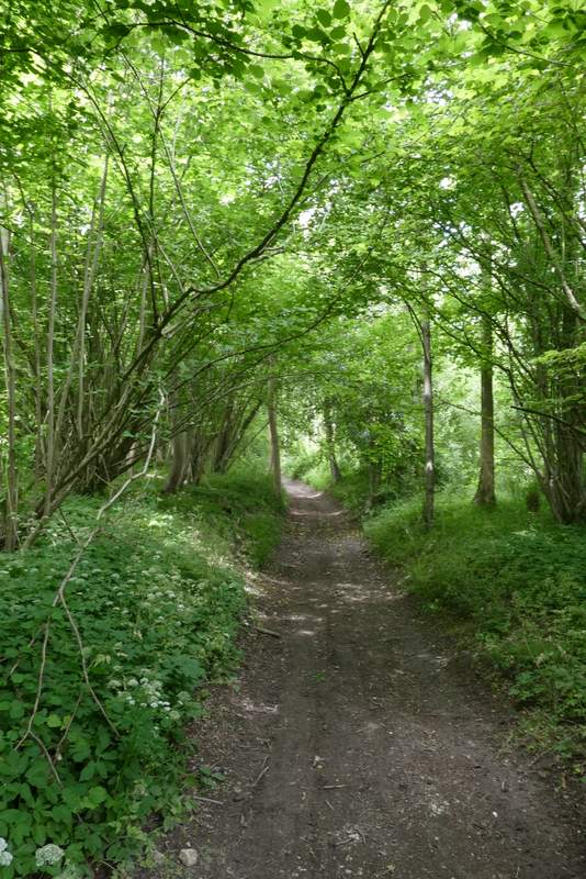
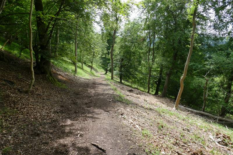
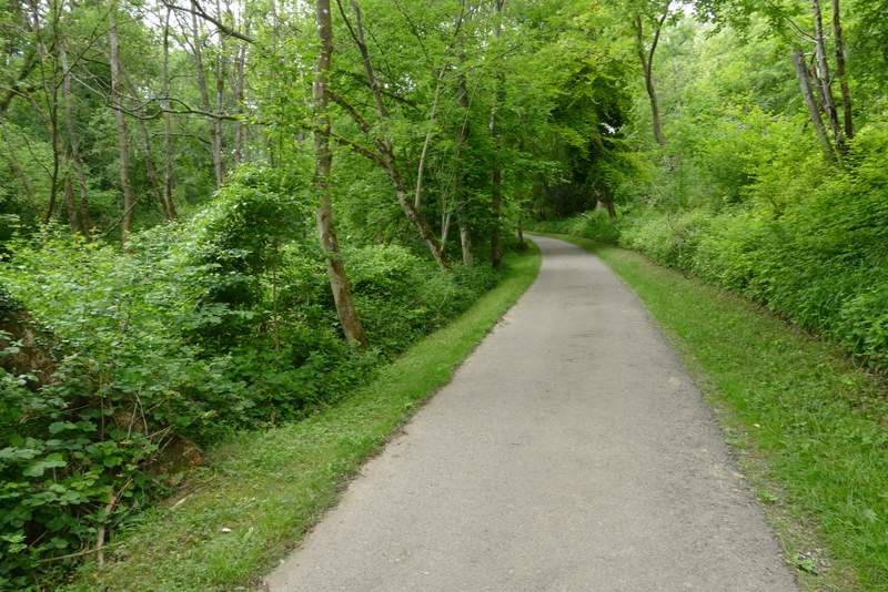
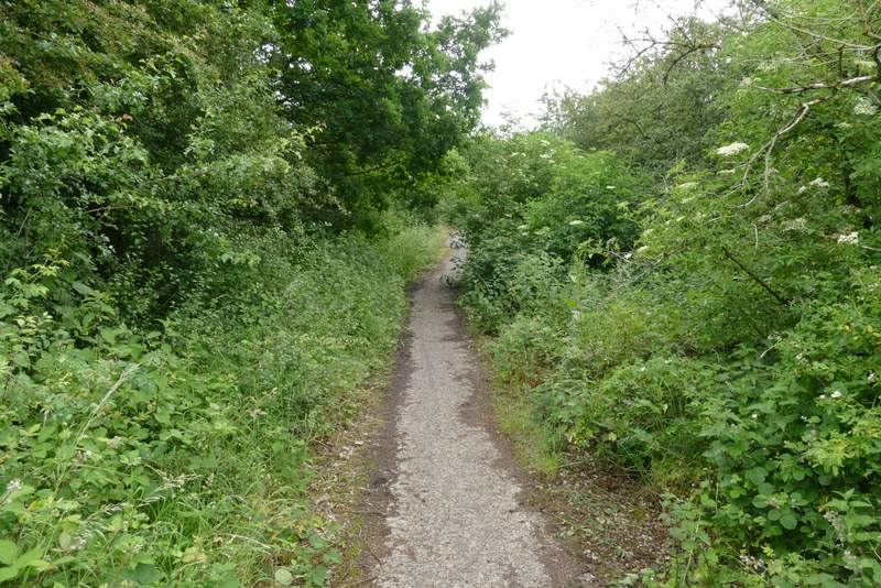
The path through Langleygreen Plantation
The path through Langleygreen Plantation
The path through Langleygreen Plantation
The path dropped down through the wood, then crossed a paddock and passed just left of Lower Vicar's Farm to reach another of the drives on the Wormsley Estate. I turning right onto a bridleway that runs along the drive, soon passing the farm on my right. The drive then turned left, and ran for several hundred yards along a small valley, before gradually rising uphill, going through a wood and passing Upper Vicar's Farm (just a farmhouse) to reach a minor road. I crossed the road and took a path that went a short way across a meadow or pasture. Over a stile, I then turned left along a path that runs along the edge of part of the Aston Rowant nature reserve (the path that descends Linky Down starts a few yards to the right from where I crossed the stile). I followed the path a short distance, admiring the far-reaching views to my right when there were occasional gaps in the hedge on that side. I soon came to the start of Hill Road again, where I went straight on, retracing my steps from the start of the walk, through a narrow pasture and then crossing the road back to the car park where I'd started from
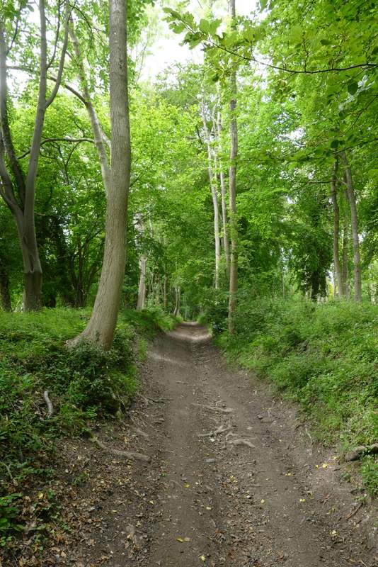
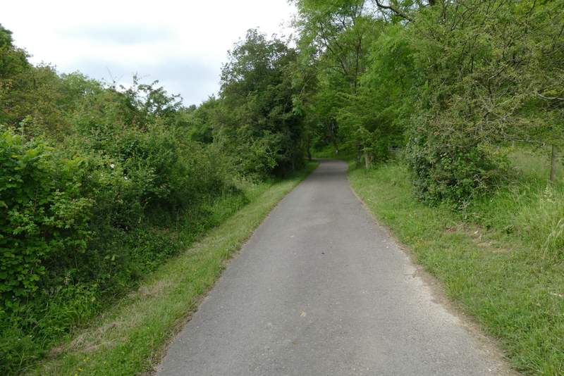
The path after I turned left in Langleygreen Plantation
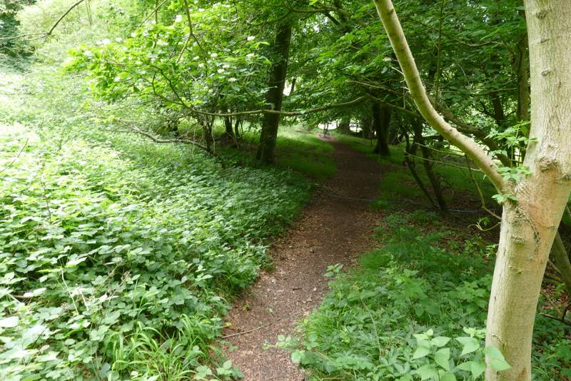
The path after I turned left in Langleygreen Plantation
The path continuing past Lower Vicar's Farm
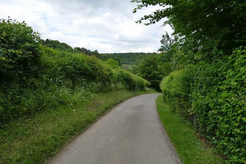
The Wormsley Estate drive after I turned right
The drive continuing from Lower Vicar's Farm to Upper Vicar's Farm
The drive continuing from Lower Vicar's Farm to Upper Vicar's Farm
The drive continuing from Lower Vicar's Farm to Upper Vicar's Farm
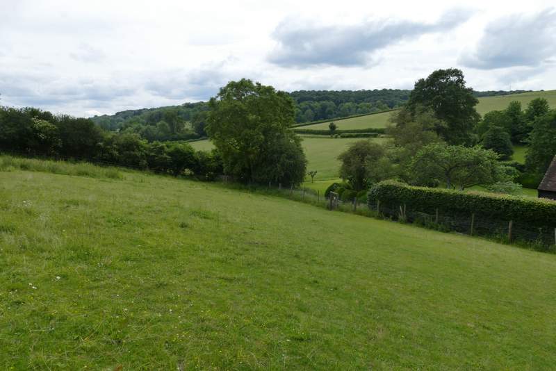
View from the path through the Aston Rowant nature reserve (the lane I followed into Lewknor is on the right of this photo)
The path through the Aston Rowant nature reserve
I was pleased that I didn't feel too tired at the end of the 13 miles, and felt I could have comfortably walked another couple of miles. I was also pleased that it had only taken about 10 minutes longer than when I did it two years ago, because I've put on about a stone in weight during the lockdowns caused by the Covid-19 pandemic so I'm even less fit than usual. I really enjoyed the walk, the flat stretch along the bridleways at the start made a bit of a change, though I wouldn't have wanted to go much further along the flat. The rest of the walk was very up and down, and much of it was in very pleasant woodland. I saw lots of wildflowers and other wildlife, and the temperature today was pleasantly warm (around 19-20C), rather than the hot 26-27C of my previous two walks.