Pete's Walks - Wigginton and Wendover Woods (page 1 of 4)
If you are considering walking this route yourself, please see my disclaimer. You may also like to see these notes about the maps and GPX files.
Google map of the walk Download GPX file of the walk (NOTE the gpx file is based on an older version of the map that was very inaccurate around Barn Wood)
I did this 12.6 mile circular walk on Sunday, 11th July 2021. It was the reverse of Walk 5 of my Chiltern Chain Walk, i.e. walking it in the clockwise direction.
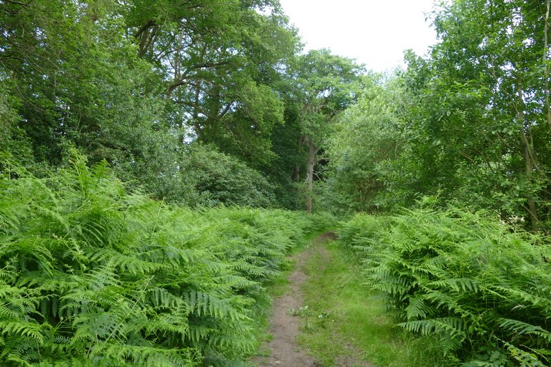
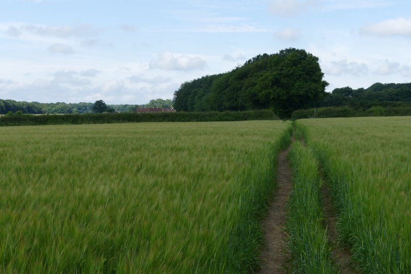
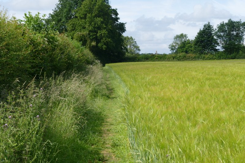
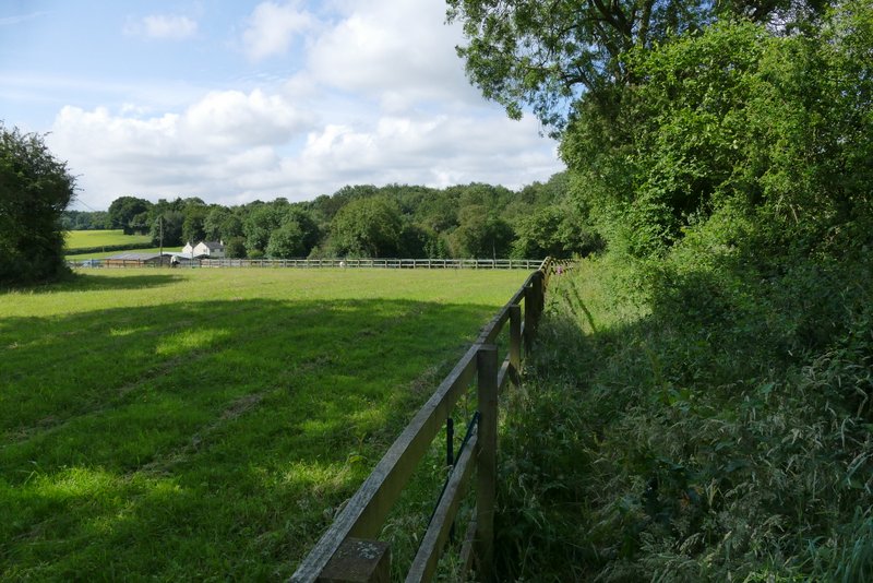
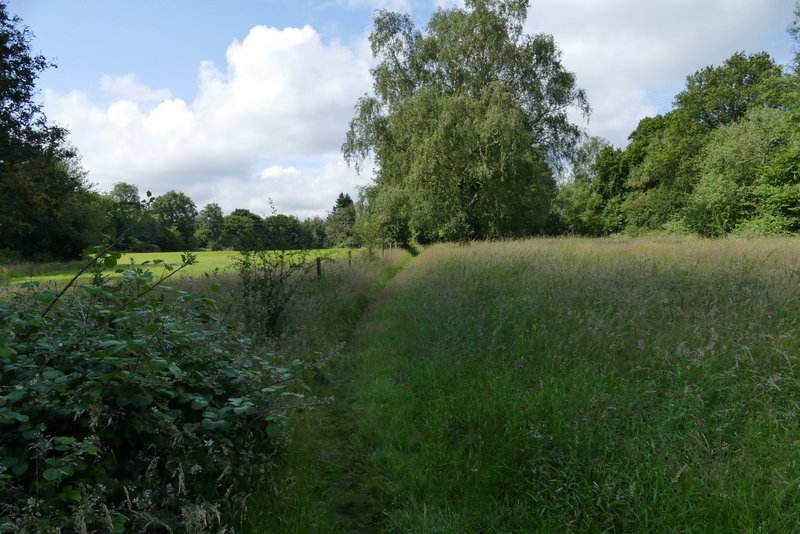
Coming out of the car park by the playing fields in Wigginton (Grid reference SP 938099), I turned right and followed the road out of Wigginton. Just past a traffic-calming barrier I took a footpath on the right, which crossed a meadow or pasture (it sometimes has cows in it). In the next field I turned right for a few yards to pass through a gap in the corner, then turned left alongside a line of gorse bushes on my left. I was now on the line of an ancient earthwork called Grim's Ditch, which I would be following southwest-wards for several miles. Beyond the gorse bushes the path continued through the middle of a long thin belt of mature trees and bracken (where I spotted some Lesser Stitchwort, which I remembered seeing here before), before running through part of a beech wood, Wick Wood.
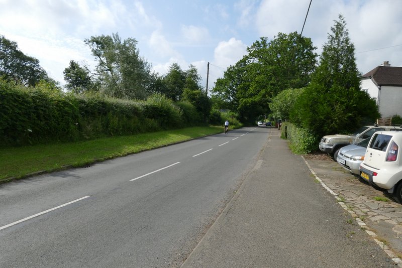
The road through Wigginton
The meadow or pasture after I took a footpath on the right
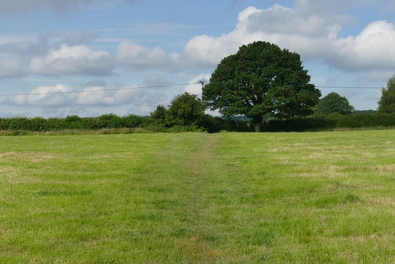
The start of the long, long section following the course of Grim's Ditch - this is just outside Wigginton, just beyond the initial meadow or pasture
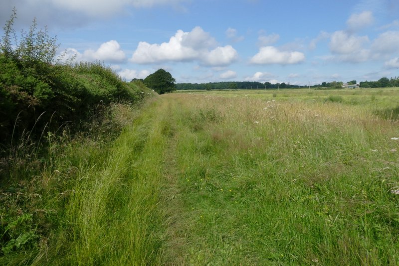
The footpath continuing towards Wick Wood
The footpath continuing towards Wick Wood
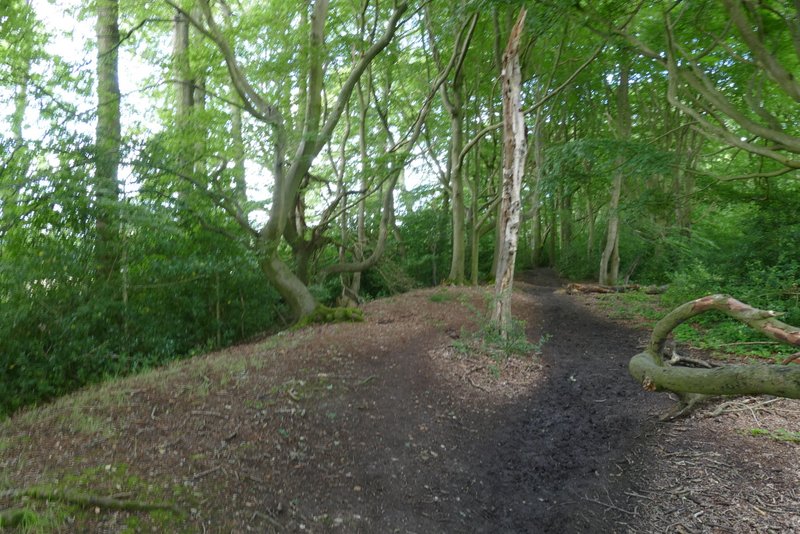
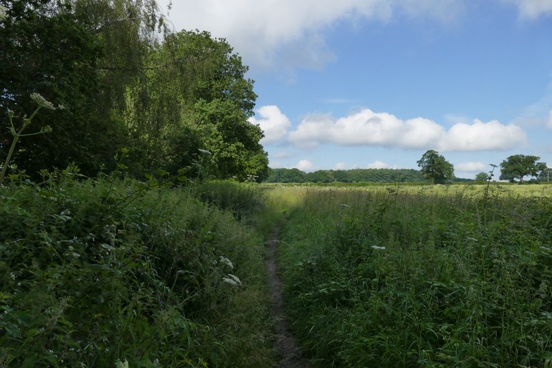
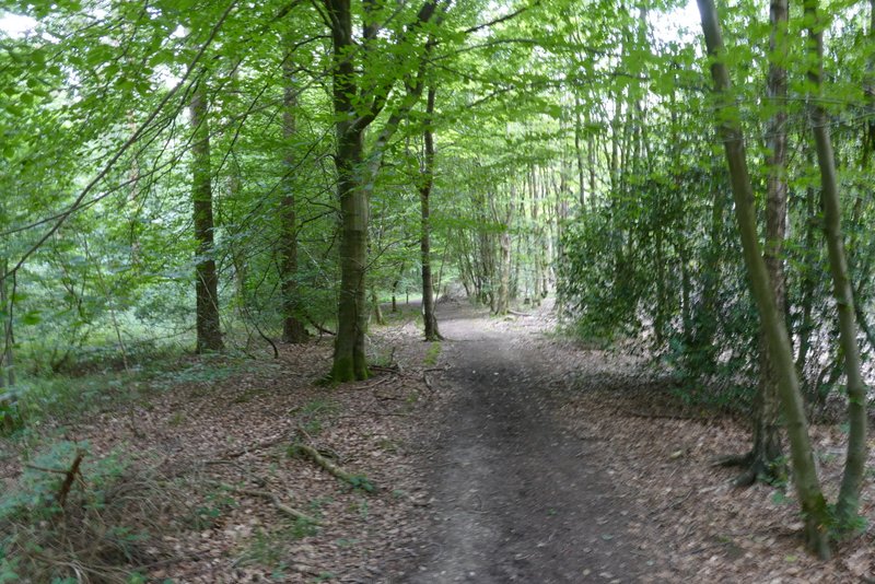
The footpath continuing through Wick Wood
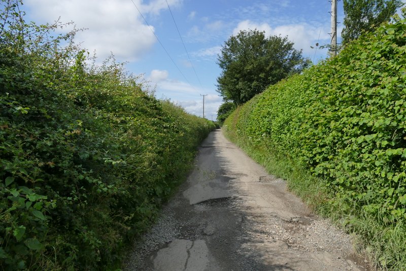
Across a lane, the path continued straight on (another went half-left) through the northern edge of another wood, called High Scrubs. I then crossed an arable field to reach Browns Lane, a track going south from Hastoe (I'd pass it's start point in that village much later on the walk). Beyond that the path continued to the left of a long belt of trees, through which the ancient earthwork called Grim's Ditch runs. On reaching a path junction in a field corner, I turned right, passing through the end of the tree belt, and then turned left, continuing in the same south-westerly direction as before as I followed the edge of a field to reach a lane (Shire Lane).
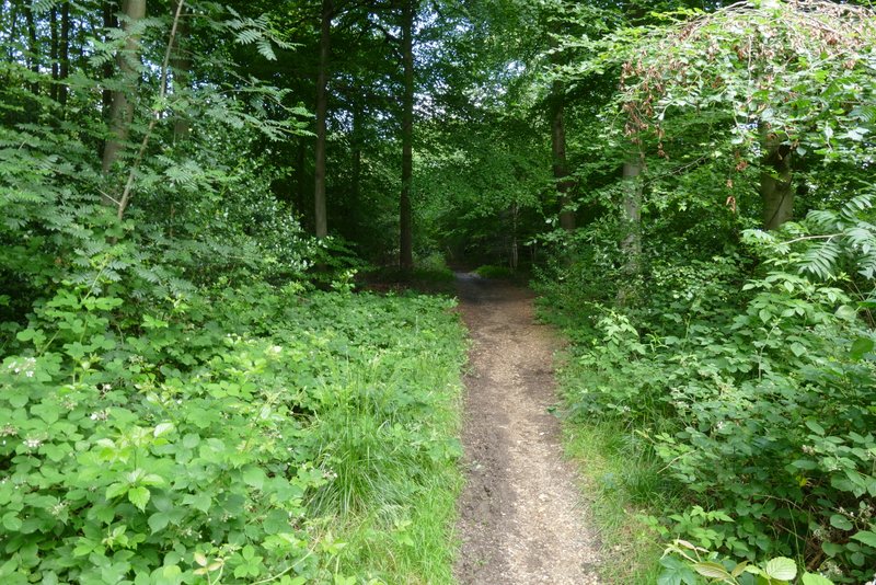
The path through High Scrubs
The path through High Scrubs
Approaching Brown's Lane (a byway going south from Hastoe)
The path approaching Shire Lane
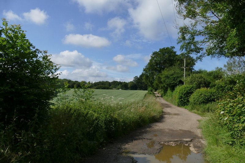
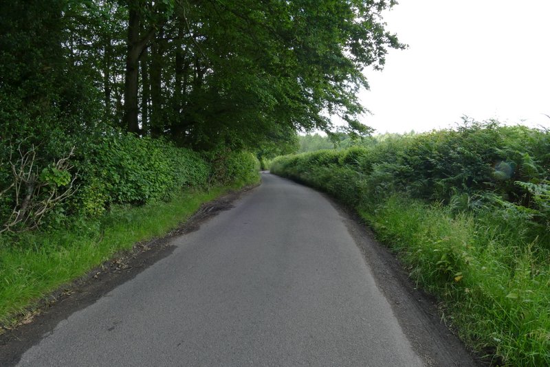
I went a few yards left, then turned right along a bridleway along a private drive. I passed some cottages on my left and continued on - the track here was not only on the course of Grim's Ditch, but was on the boundary between Buckinghamshire and Hertfordshire. I passed Leyland's Farm at the end of the track, crossed another lane and continued on a footpath on the other side. This passed a couple of meadows or paddocks, then went through a small wood or copse. Beyond an area of mown grass, I joined a driveway and reached a minor road just west of St Leonards.
The private drive heading southwest towards Leylands Farm
The private drive heading southwest towards Leylands Farm
The start of the path continuing across the lane from Leylands Farm
The path continuing towards the edge of St Leonards
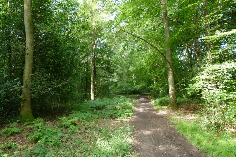
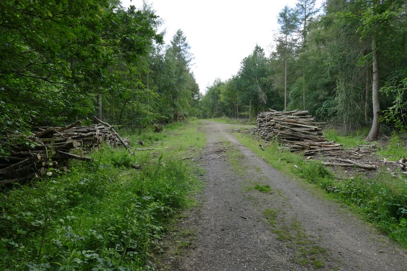
I went a few yards left, then turned right into a lane. On reaching a T-junction after about a third of a mile, a path continued ahead into Baldwin's Wood. On coming to a fork in the path I took the right fork and continued on through the next section of the wood, soon rejoining the line of Grim's Ditch once more.
The lane from St Leonards
The start of the path from the lane junction into Baldwin's Wood
Baldwin's Wood
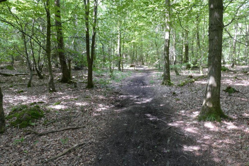
Baldwin's Wood