Pete's Walks- Chenies, Chipperfield Common, Ley Hill (page 6 of 6)
If you are considering walking this route yourself, please see my disclaimer. You may also like to see these notes about the maps and GPX files.
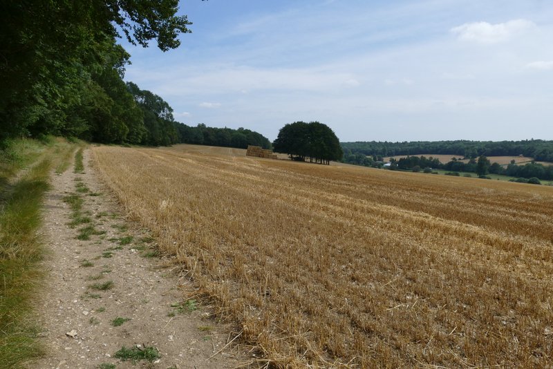
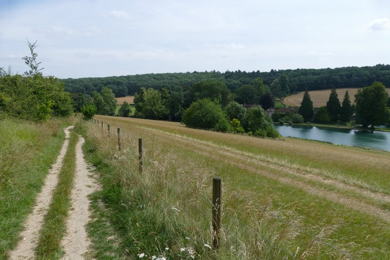
At the top of the slope I continued alongside the wood with a huge corn field sloping down into the Chess Valley on my right. This was a really pleasant part of the route, with nice views over the valley. Eventually I passed Latimer House on my left, then crossed a drive or track, before dropping downhill to reach a road on the edge of Latimer.
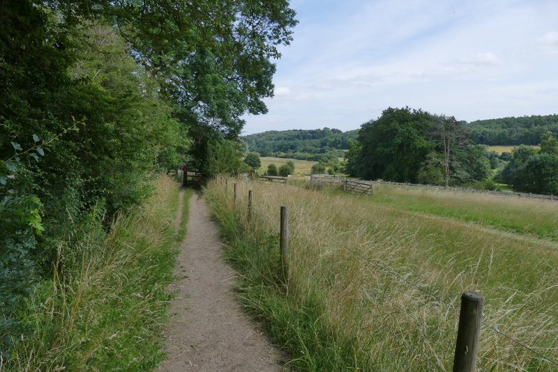
The path continuing along the edge of Tooley's Croft
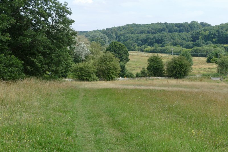
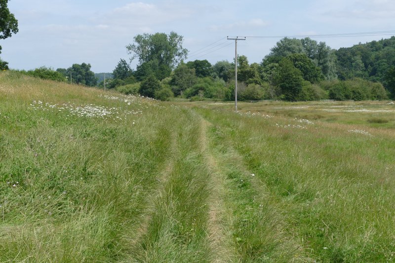
View back, looking across the Chess valley
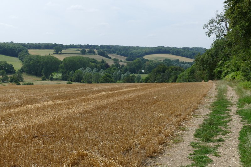
Another view back, from further along the path
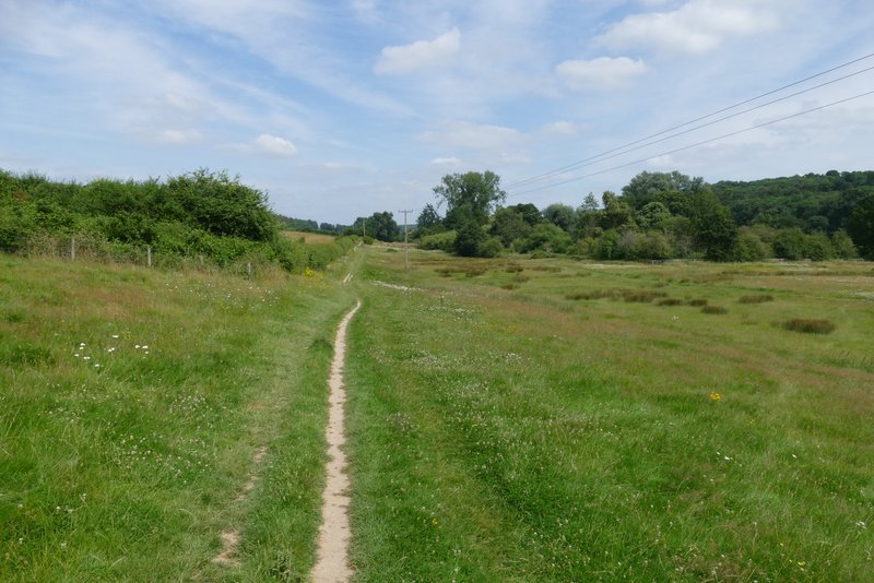
Further along the path
Further along the path
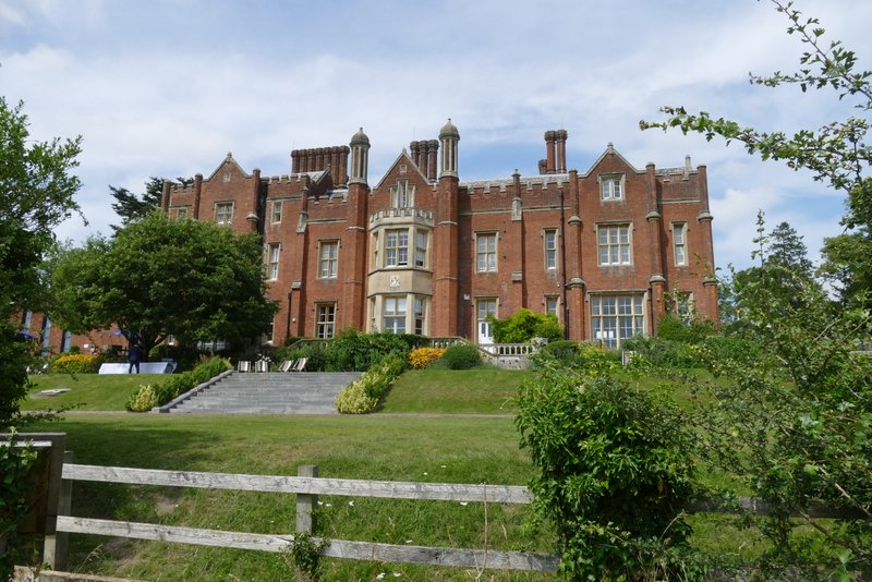
Latimer House (now a countryside hotel)
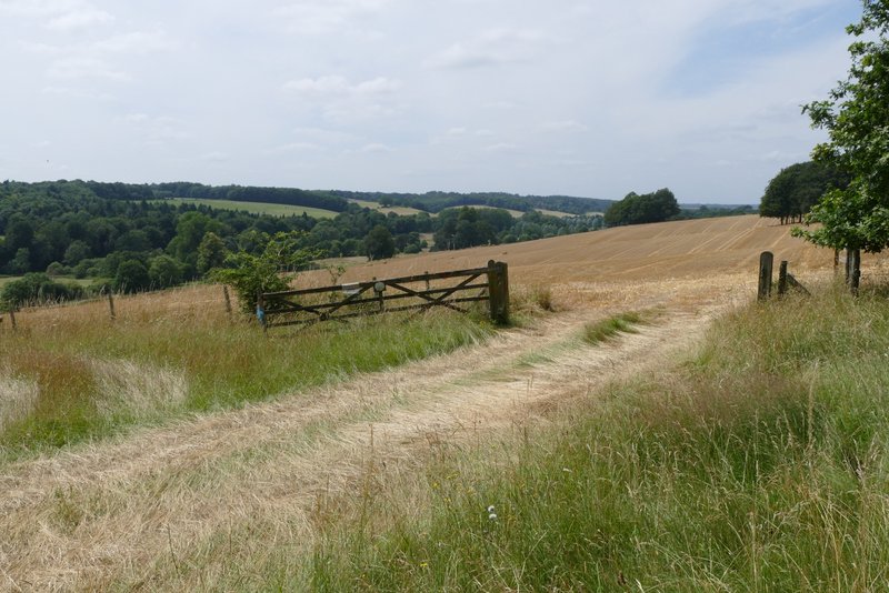
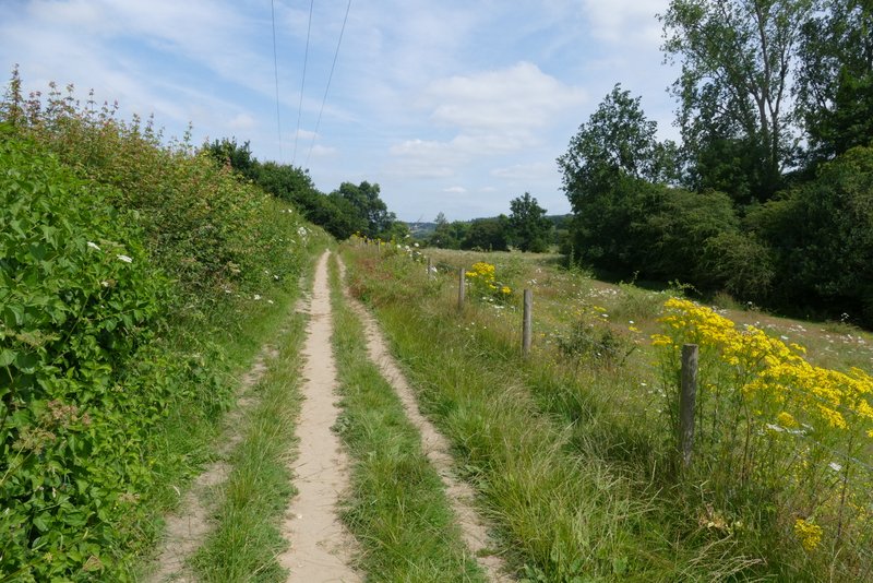
Further along the path, just after Latimer House
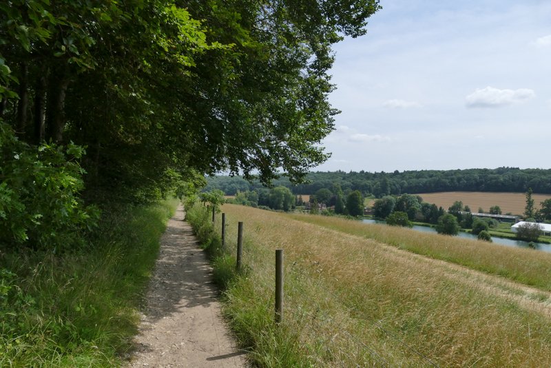
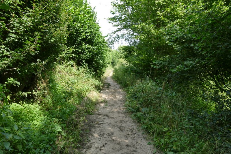
The path now dropping down to the road on the edge of Latimer
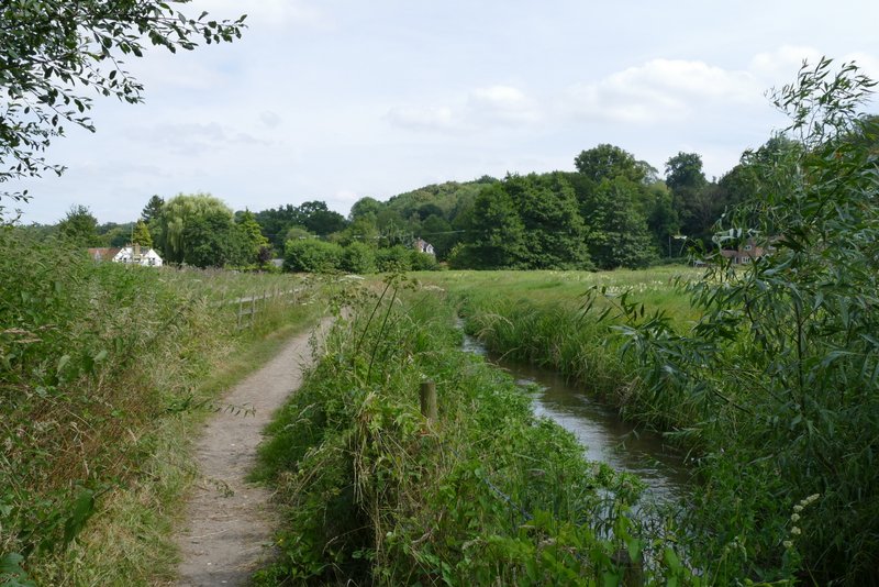
Across the road, I took a path going straight on through an irregularly shaped pasture, now down in the valley bottom. Further on the path followed a hedgerow on my left. It then ran for a while between hedges, before emerging in a more open area with the river now close by on my right. The path ended at Mill Farm in Chenies Bottom
The path along the Chess Valley from Latimer to Chenies Bottom
The path along the Chess Valley from Latimer to Chenies Bottom
The path along the Chess Valley from Latimer to Chenies Bottom
The path along the Chess Valley from Latimer to Chenies Bottom
Approaching Chenies Bottom
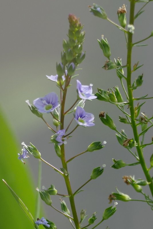
I'd not seen this before, it's a Water Speedwell but I can't say whether it's Blue or Pink Water Speedwell
I turned right along a lane, soon crossing the river. Where the lane split either side of a triangle at a road junction, I took the right fork and crossed the road, then took a footpath on the other side. This immediately forked and I took the left fork that soon rose quite steeply (but only briefly) up through a wood. It then ran between walls, with Chenies church to my left and Chenies Manor on the right. I then turned left along the drive from Chenies Manor to return to the centre of Chenies.
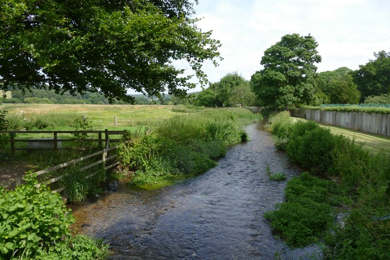
View along the Chess Valley from Chenies Bottom
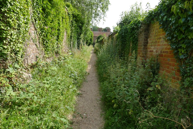
Approaching Chenies, between the walls around Chenies church, left, and Chenies Manor
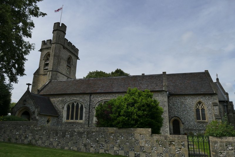
Chenies church
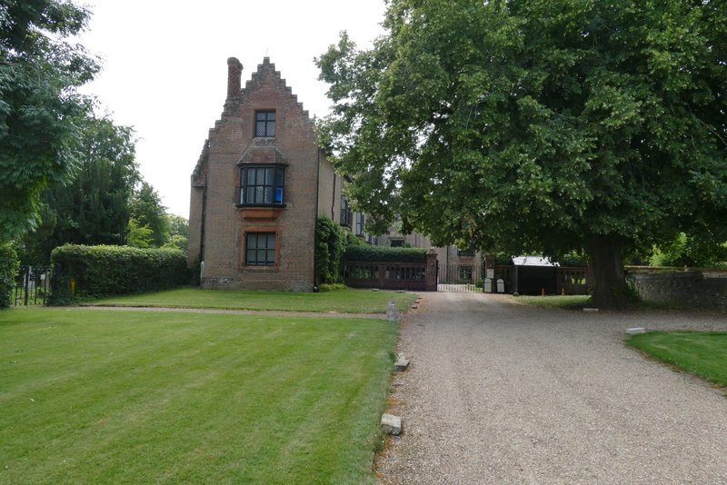
Chenies manor
This was a very nice day for a walk, the temperature being about 20-21C with a slight breeze made - much nicer than the 27-28C we'd had for the previous week. It was a very pleasant walk, with the Chess Valley as delightful as ever. I was shocked to find it had taken me five hours and 25 minutes, but when I checked I found that was only 15 minutes slower than when I did it two years ago, so I guess that's not too bad - I did take a lot of photos (177).