Pete's Walks - Pitstone Hill and Wigginton (page 2 of 5)
If you are considering walking this route yourself, please see my disclaimer. You may also like to see these notes about the maps and GPX files.
After a hundred yards or so a footpath crossed the drive, and I turned half-right to cross a corn field. Through a hedge gap on the far side the path turned half-right again to cross a smaller field, on the far side of which I turned left along a bridleway. This soon turned right and started heading uphill through part of Ashridge. Near the top of the slope the bridleway went slightly right and levelled out (a path went straight on, towards the Bridgewater Monument at Ashridge). After following the boundary of a property in the woods named Tim's Spring, I followed a drive a short way and then turned right onto a bridleway that continued through the woods, with the Monument out of sight somewhere just a little uphill to my left. After a few hundred yards the bridleway merged with another one, coming in sharply from my left (it was coming from near the Bridgewater Monument). I went right here, then after a hundred yards or so forked right at another bridleway junction. The bridleway dropped steadily downhill through more of the Ashridge woodland and eventually brought me to a road in Aldbury.
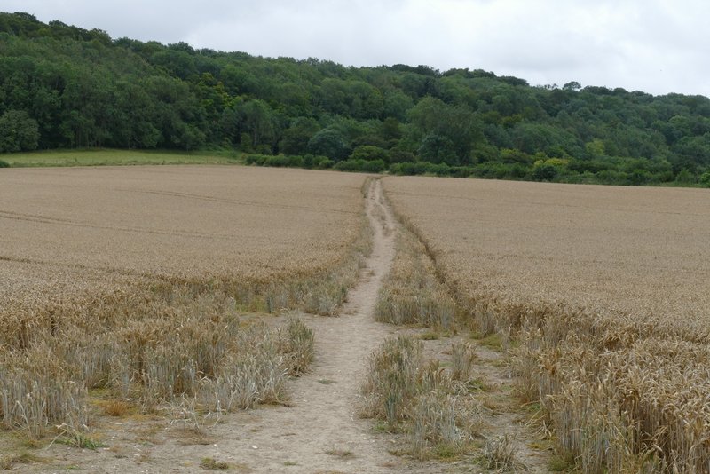
The path going half-right from the drive to Duncombe Farm
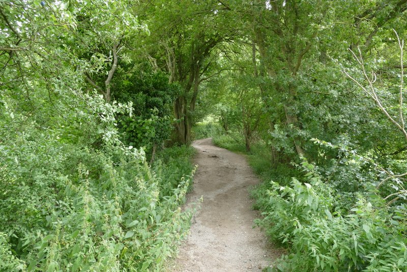
The bridleway after I turned left
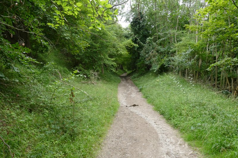
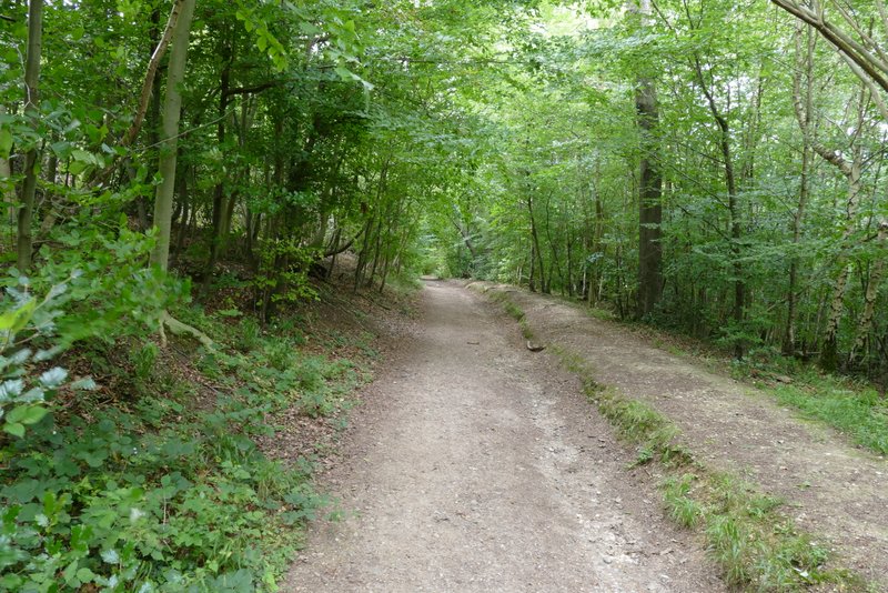
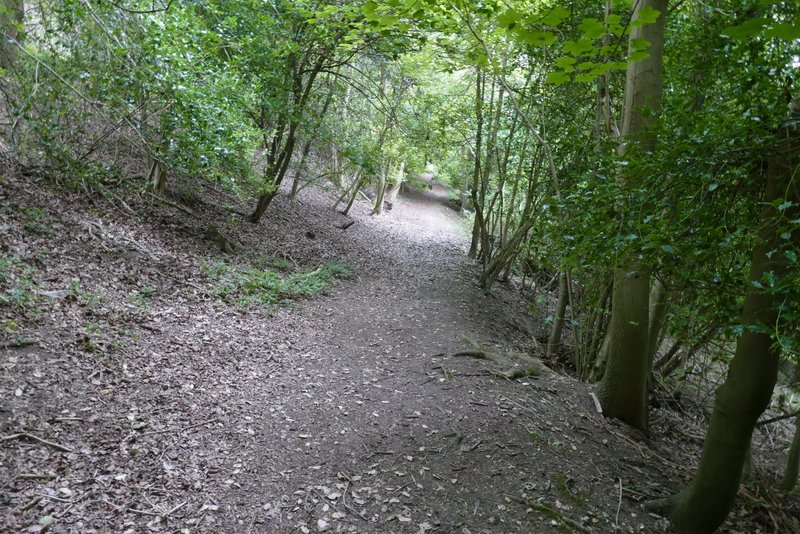
The bridleway continuing uphill into the woods of Ashridge
The bridleway continuing uphill into the woods of Ashridge
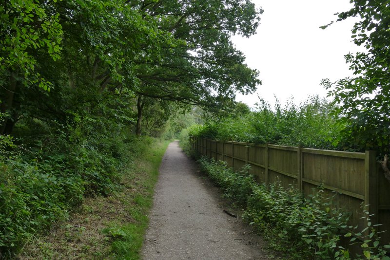
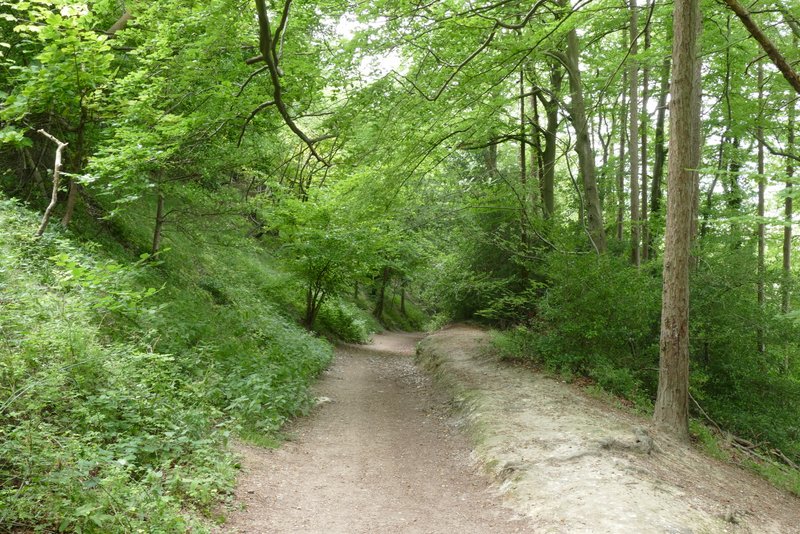
The bridleway after it levels off and passes a property called Tim's Spring
The bridleway continuing just below the Bridgewater Monument
The bridleway continuing just below the Bridgewater Monument
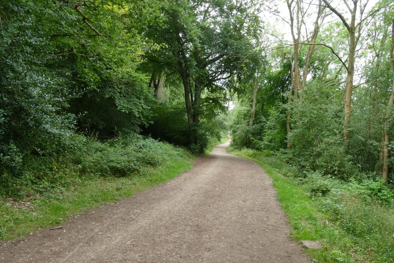
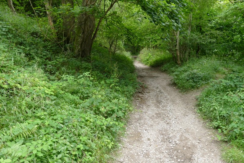
The bridleway to Aldbury (it forks right about in the middle of this shot)
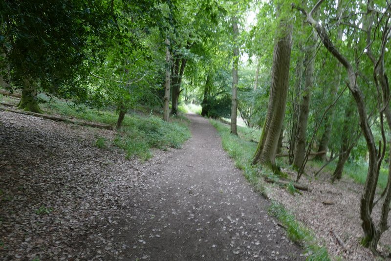
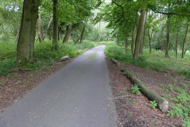
The bridleway descending to Aldbury
The bridleway descending to Aldbury
Here I turned right to quickly reach the pond at the village centre, where I went left along another street. After maybe a couple of hundred yards I turned left onto a footpath (which started immediately before a house that was gable-end on to the street). The path took me through the village allotments, on the far side of which I went through a tall gate and turned right along a path that soon brought me to another residential street. Here I turned left, uphill, but where the street turned left I took a path going half-right. This left Aldbury and rose back uphill through the woods again, heading towards Tom's Hill. The path ended by a road junction where a lane joined a minor road at a hairpin bend. I followed the lane (actually the OS map shows it is a byway), still in the Ashridge woods (there was a lot of Small Balsam growing here), for a short distance to reach the hamlet of Tom's Hill.
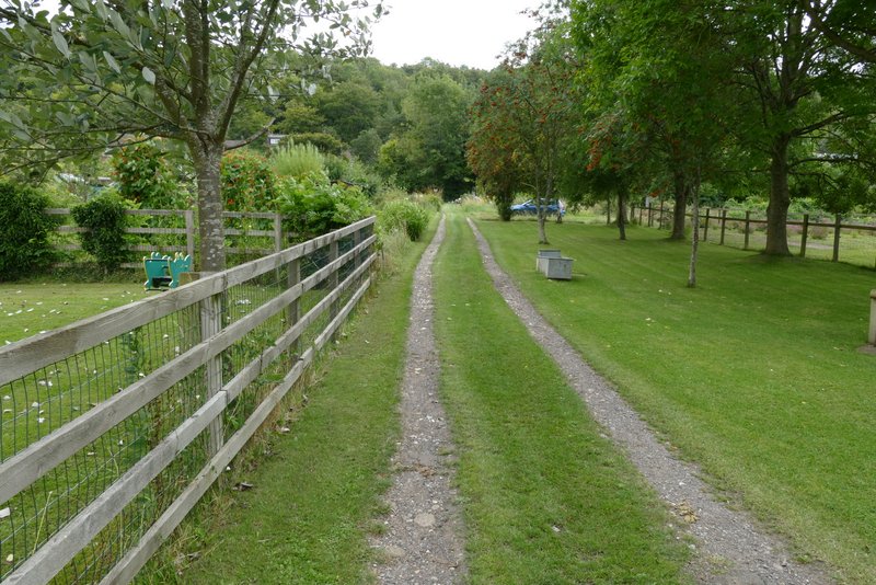
The path through the allotments at Aldbury
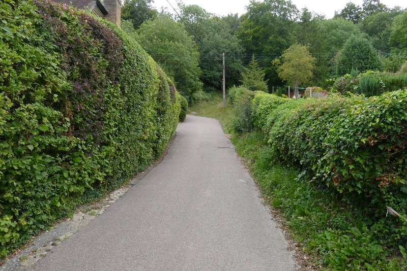
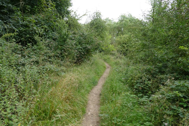
Approaching the start of the path to Tom's Hill
The path up to Tom's Hill
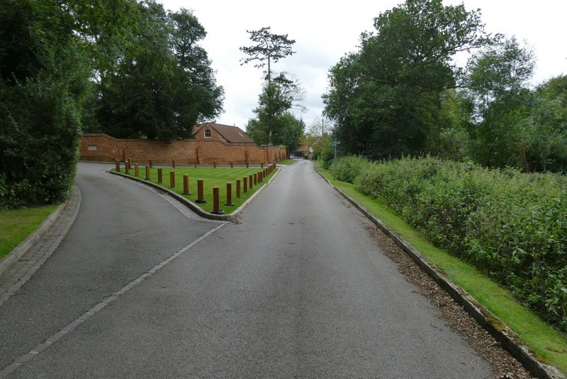
The lane to Tom's Hill
Tom's Hill