Pete's Walks - Pitstone Hill and Wigginton (page 5 of 5)
If you are considering walking this route yourself, please see my disclaimer. You may also like to see these notes about the maps and GPX files.
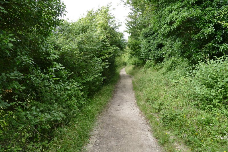
I walked a little way right, crossed the road and took a footpath on the other side (still following the Ridgeway). This path ran in a straight line for about half a mile, initially with woodland to my left and paddocks beyond a fence on the right, and then with paddocks either side. The path ended at a lane, where I turned left, soon reaching the end of the lane at Tring Station where I turned right and immediately crossed over the Grand Union Canal.
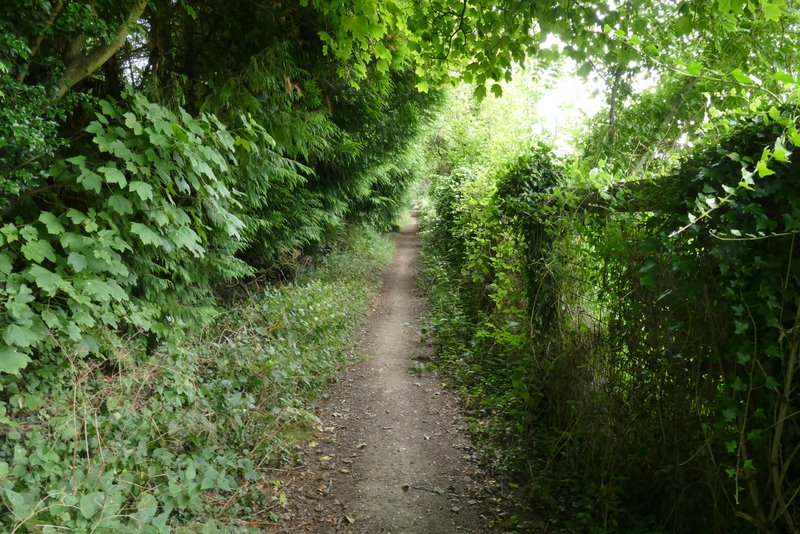
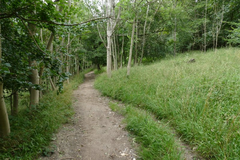
The path continuing from the A4251 to Tring Station
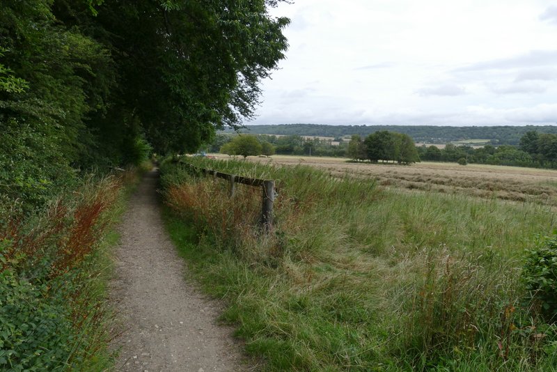
The path continuing from the A4251 to Tring Station
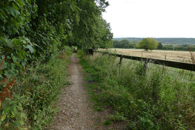
The path continuing from the A4251 to Tring Station
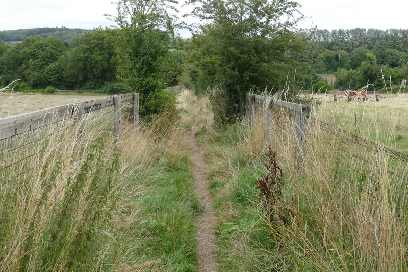
The path continuing from the A4251 to Tring Station
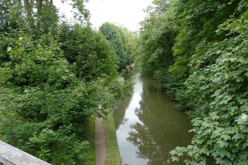
The Grand Union Canal at Tring Station
I continued along the road through Tring Station, passing the actual railway station on my right and then crossing a bridge over the railway tracks. I continued along the road, going straight on at a junction where a road went left. A short way further on I followed the Ridgeway where it went half-left along a concrete drive. When I came to a bridleway crossroads I turned left, this bridleway generally running between hedges for several hundred yards, though there was a short section with attractive beech trees either side. When I came to a junction where a footpath crossed the bridleway I turned right to follow the path a short distance through the Aldbury Nowers nature reserve).
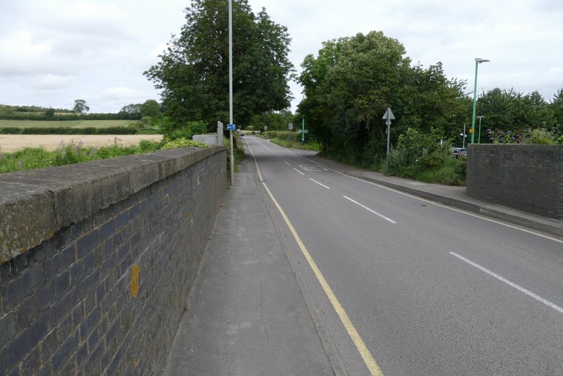
The road out of Tring Station
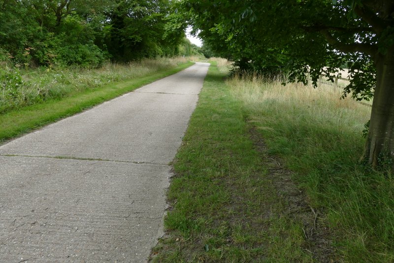
The drive after I turned half-left from the road
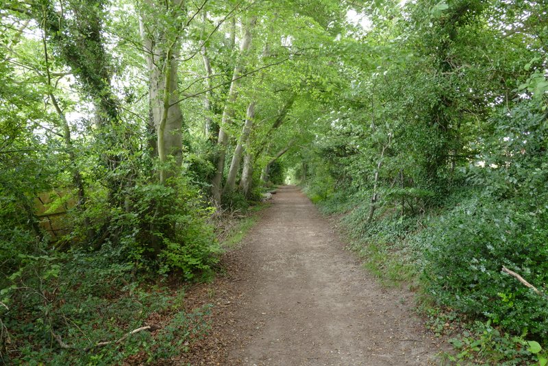
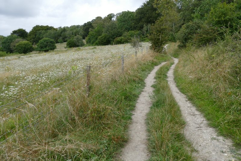
The Ridgeway heading northwest towards Aldbury Nowers nature reserve
The Ridgeway heading northwest towards Aldbury Nowers nature reserve
The Ridgeway running through nature reserve at Aldbury Nowers
Just after leaving the open area of the nature reserve and entering the woods of Aldbury Nowers, I turned left at a path junction (actually it was the second of two a few yards apart). The path started up a flight of 'steps', turning slightly left near the top of a bank and running between fences for a short while (with parts of the nature reserve either side), before re-entering the woods. There was then a fairly level section of about half a mile through the woods. On reaching the end of the woods, the path went through a small gate and continued gently up the western flank of Pitstone Hill, following part of the ancient earthwork called Grim's Ditch. The path curved right to reach the top of the hill, then continued almost imperceptibly downhill as it headed eastwards, with a good view ahead towards Ivinghoe Beacon and Steps Hill. I finally left the Ridgeway to go up and over a small hillock, reaching the car park where I'd started on the far side.
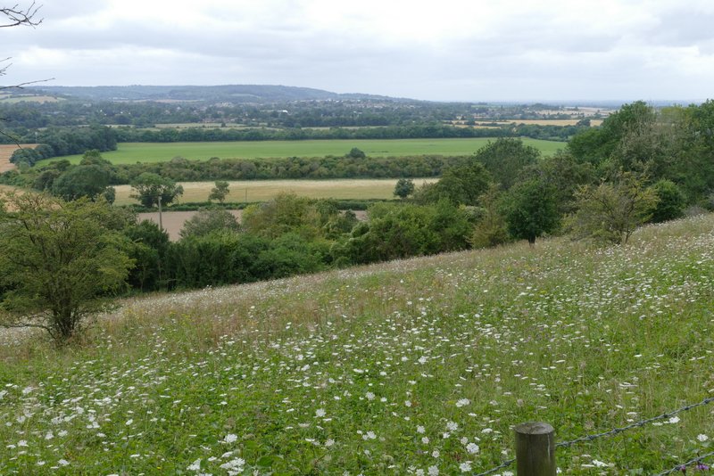
View left from Aldbury Nowers
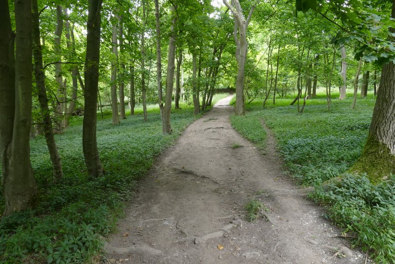
The Ridgeway running through the woods of Aldbury Nowers
The Ridgeway running through the woods of Aldbury Nowers
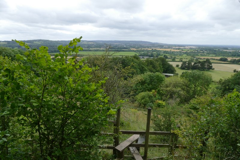
View from Aldbury Nowers
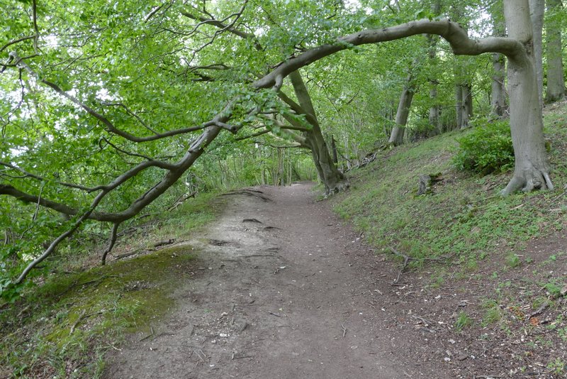
The Ridgeway running through the woods of Aldbury Nowers
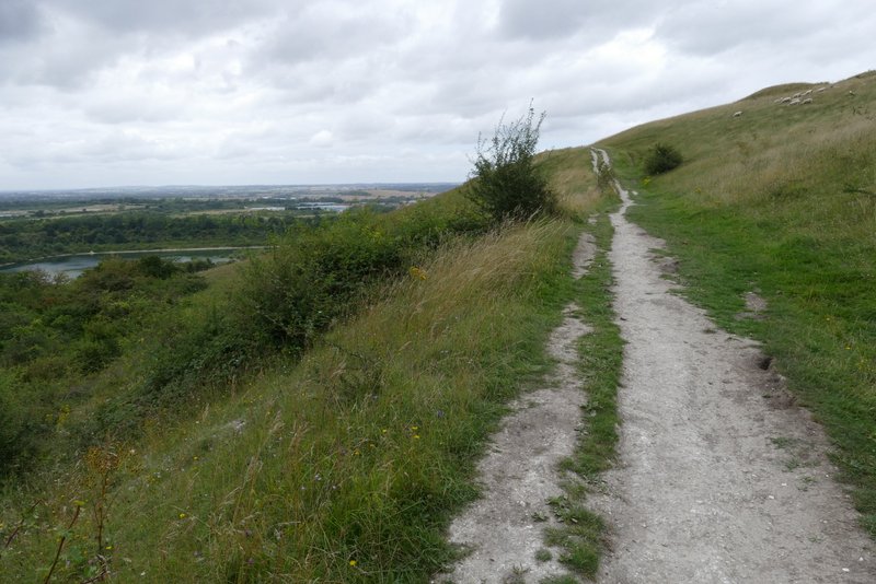
The Ridgeway rising up Pitstone Hill
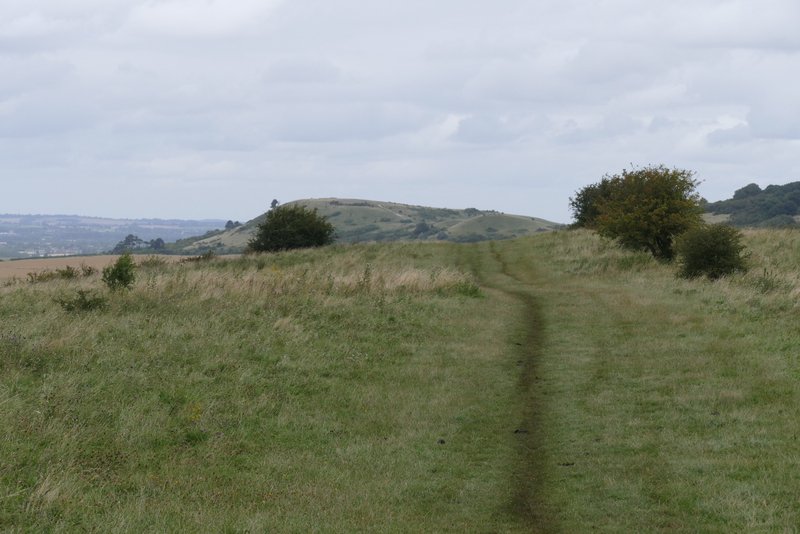
The Ridgeway continuing over Pitstone Hill, with Ivinghoe Beacon in the distance
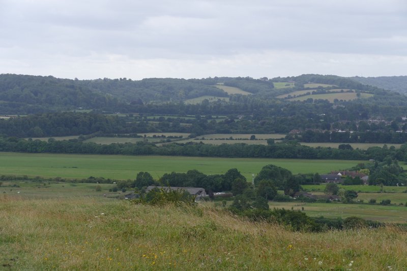
View back towards Wigginton from Pitstone Hill
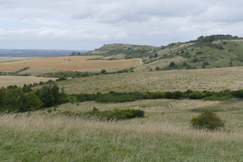
Ivinghoe Beacon from the 'hillock' just before the Pitstone Hill car park
This route is a bit shorter than most of the walks I do and it's only a 10-minute drive from my home, so I've often used it when I haven't got as much time as usual to go for a long walk. When I did it in February 2018 I commented that I was disappointed by how many other walkers I'd met on the section along the Ridgeway between Wigginton and Pitstone Hill. I hardly saw any other walkers at all today, except for a couple of ladies I met twice, on the way into Wigginton and then on the way to Tring Station. It was a very pleasant walk with fine scenery and some nice wildlife too.