Pete's Walks - Hambleden, Stonor, Henley (page 1 of 5)
If you are considering walking this route yourself, please see my disclaimer. You may also like to see these notes about the maps and GPX files.
Google map of the walkDownload GPX file of the walk
NOTE: You now have to pay to use the car park in Hambleden. I usually manage to park along the village street to the west of the church (looking at the church from the village centre, take the street on the left and follow it round to the right).
I did this walk of about 13.4 miles on Friday, 20th August, 2021. I'd only walked this route once before, in August 2011 (I hadn't realised until yesterday how long ago it was), though most of it I've walked as part of other routes, with the exception of the final few miles from Henley back to Hambleden.
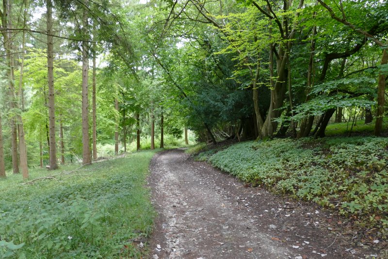
I started walking from the Hambleden village car park (I had a nasty shock, parking here is no longer free) about 10:40am, following the narrow street into the village centre and then passing the church on my right. Another street continued ahead, soon turning right to pass another side of the church (I could have parked along here for free!). I ignored the first footpath on the right (which I most often use) and instead took the second path on the right, immediately after crossing the dry bed of the Hamble Brook. This crossed a small section of a large empty pasture to its far left corner, where I reached the road going north through the Hambleden valley.
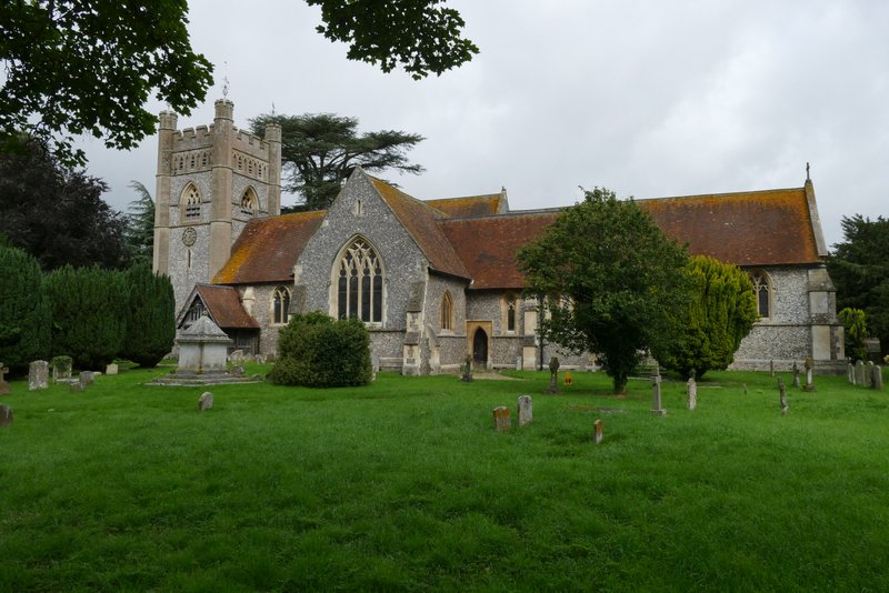
Hambleden church
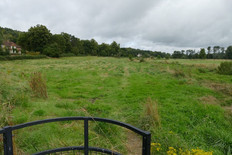
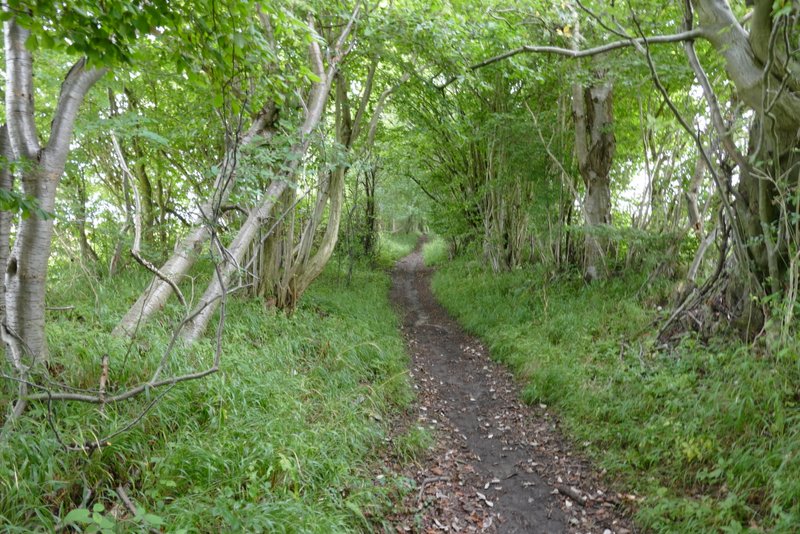
The footpath I took out of Hambleden - I just aimed for the far left corner of this meadow
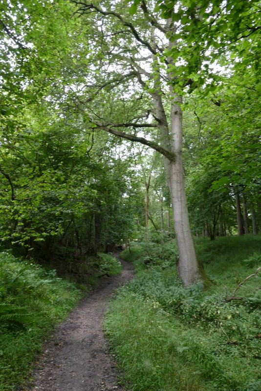
I turned right along the road, following it for a short distance before taking a bridleway on the left, just beyond a solitary house. The bridleway was initially on a hedge-lined track, where I spotted some spikes of Dark Mullein. On reaching a corner of Ridge Wood (I think) the bridleway turned left, but I continued ahead on a footpath just inside the edge of the wood. This rose quite steeply up the side of the valley and I was soon puffing and panting. The slope eased as I left the wood, where some pheasants ran along the track ahead of me.
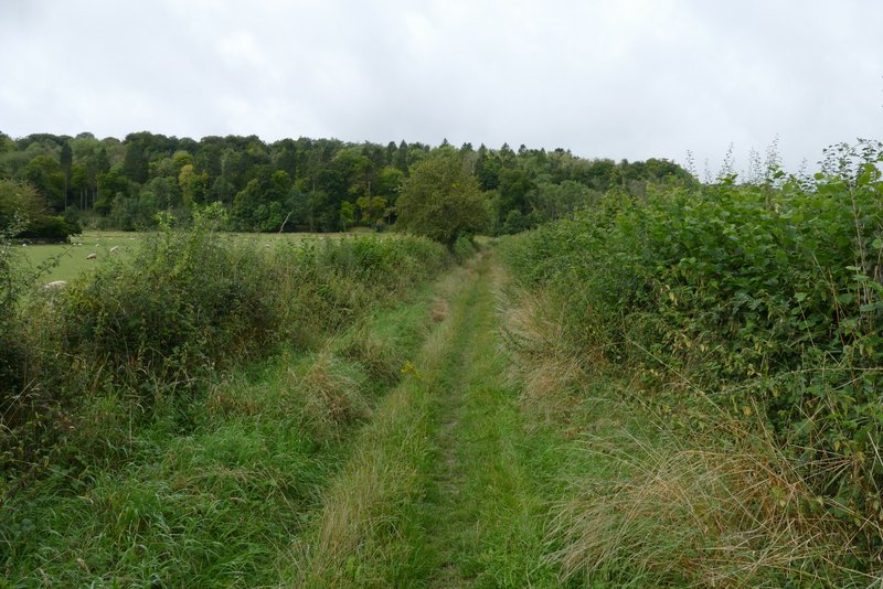
The bridleway leading to the north-eastern corner of Ridge Wood
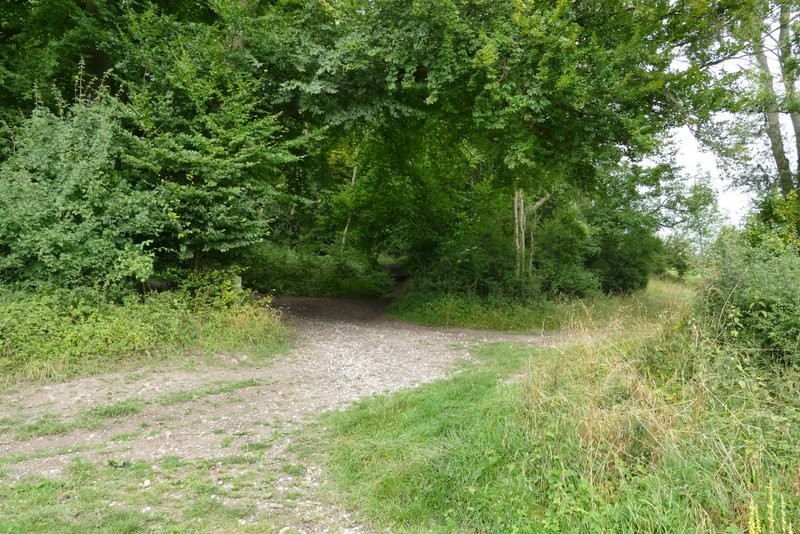
Where I entered a corner of Ridge Wood - I took the path going straight on and uphill, just inside the edge of the wood
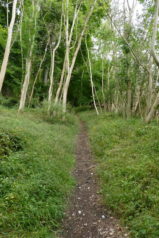
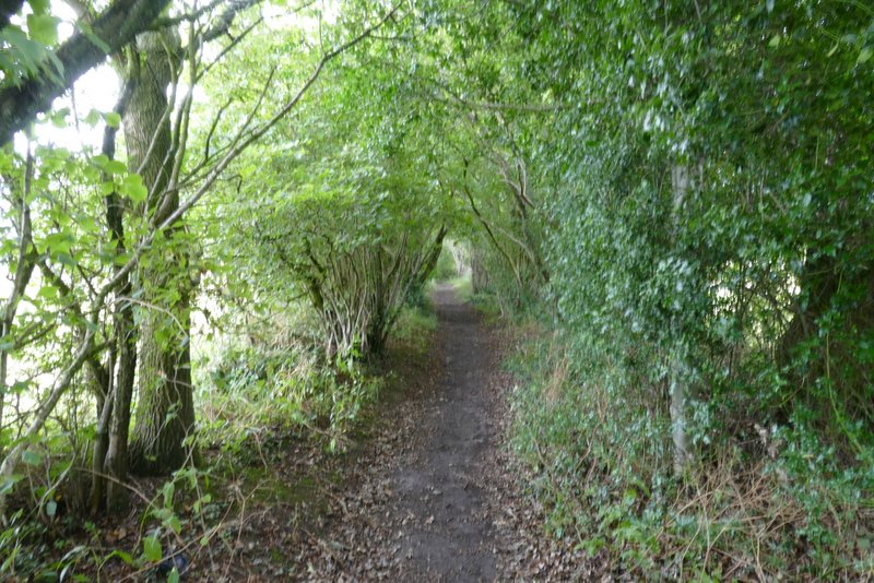
The path going uphill in Ridge Wood
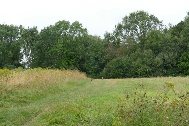
Between Ridge Wood and Great Wood - you can see a few pheasants on the track ahead of me
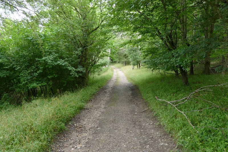
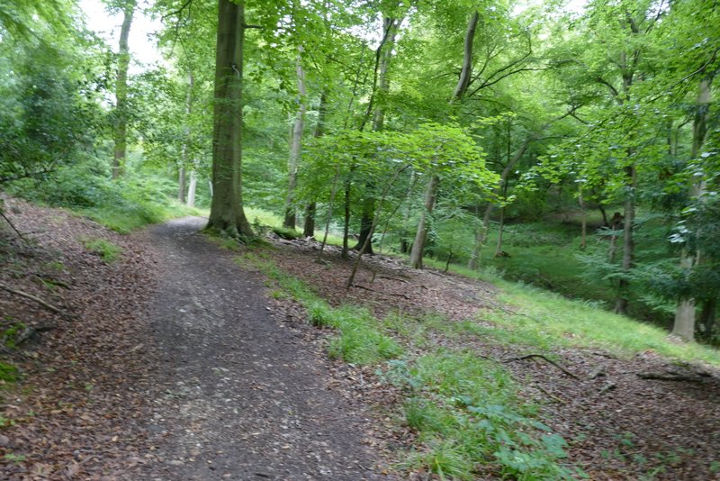
The path then entered the extensive Great Wood, soon turning right on a surfaced track through the trees. After a while the path forked left from the track - the wood here was definitely mixed, with conifers as well as deciduous trees such as Ash and Silver Birch. I passed through a pleasant open glade, where a lot of Marjoram was growing, and then the path joined another track. I followed the track westwards, soon descending into a small valley.
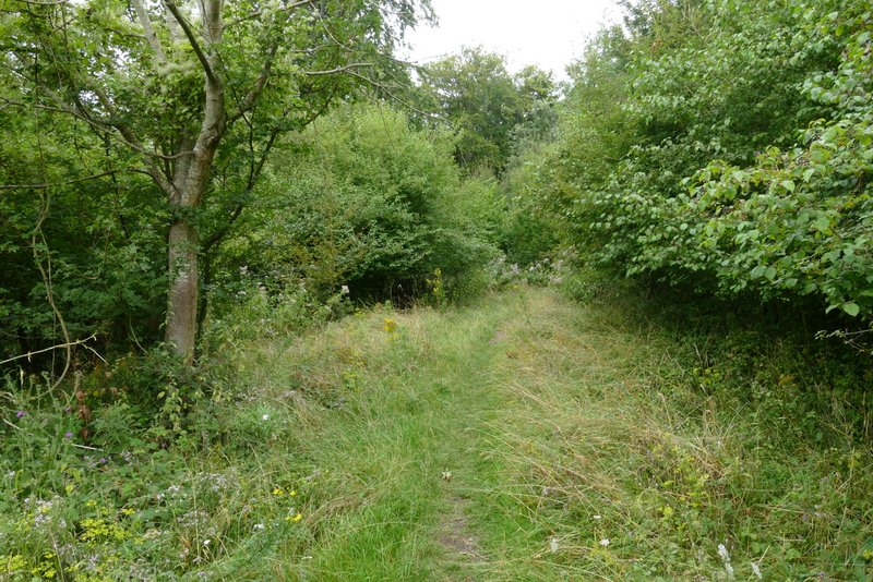
Just after the path turned left from a track in Great Wood
The path in Great Wood
The path in Great Wood
In the bottom of the wooded valley the path ended by joining a bridleway where I went more or less straight on - here I was joining a more familiar path, part of Walk 15 of my Chiltern Chain Walk. The bridleway climbed the far side of the valley at an easy angle, soon changing direction from west to north-west. On leaving Great wood, it continued between tall hedgerows for about half a mile to reach a lane at Upper Woodend Farm.
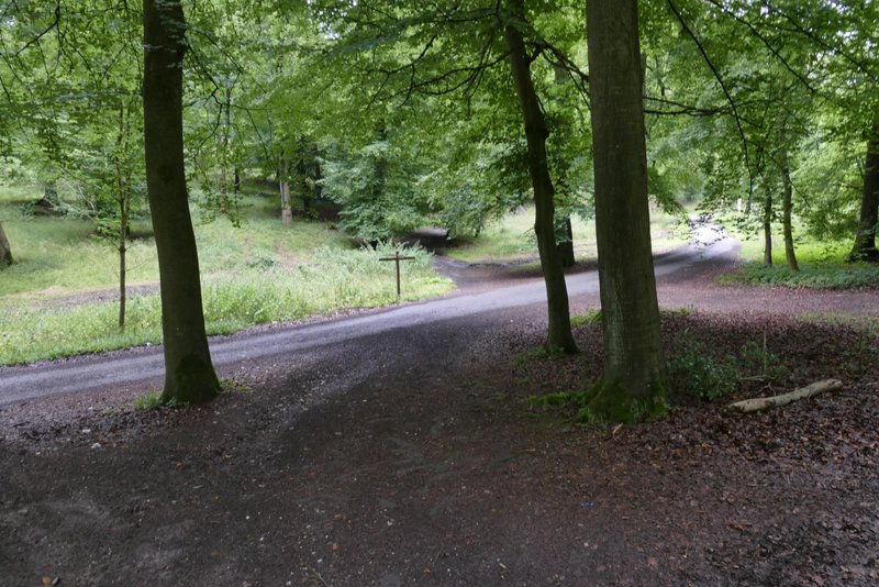
The junction in the valley bottom where I took a bridleway going straight on
The slightly uphill bit in Great Wood, just after I joined the bridleway
The bridleway coming to the end of Great Wood
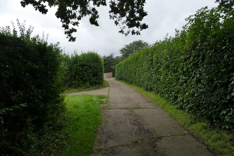
The bridleway continuing to Upper Woodend Farm
The bridleway continuing to Upper Woodend Farm
Approaching Upper Woodend Farm
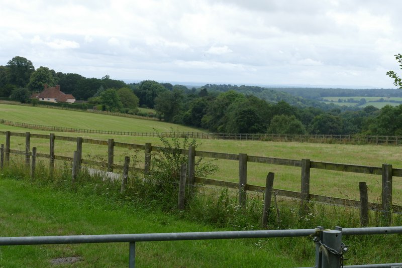
View from near Upper Woodend Farm