Pete's Walks - Hambleden, Stonor, Henley (page 3 of 5)
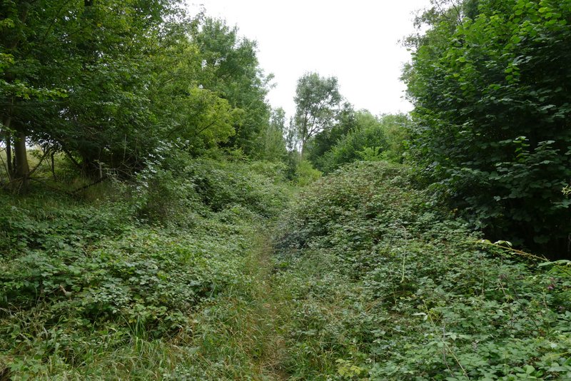
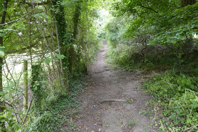
On finally leaving the deer park around Stonor House, I turned left along the road through Stonor. Shortly after a road junction where a lane went right to Maidensgrove, leaving the route of the Chiltern Way I turned left on a bridleway that was soon climbing steeply uphill through Almshill Wood, with the fence of the deer park on my left. This is one of the toughest bits of uphill I know in the Chilterns (others that spring to mind are the path from Turville up to Cobstone Mill, and one up Coombe Hill from Coombe) and I was soon puffing and panting again. But as always I took it slowly, remembering that the gradient eased as the path (and fence) started to curve slightly right.
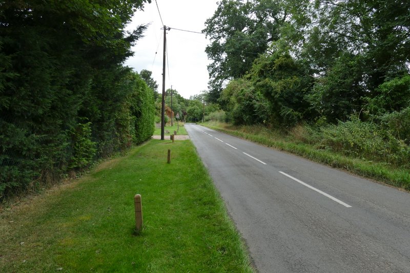
The road through Stonor
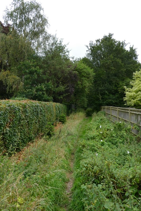
The start of the bridleway from Stonor
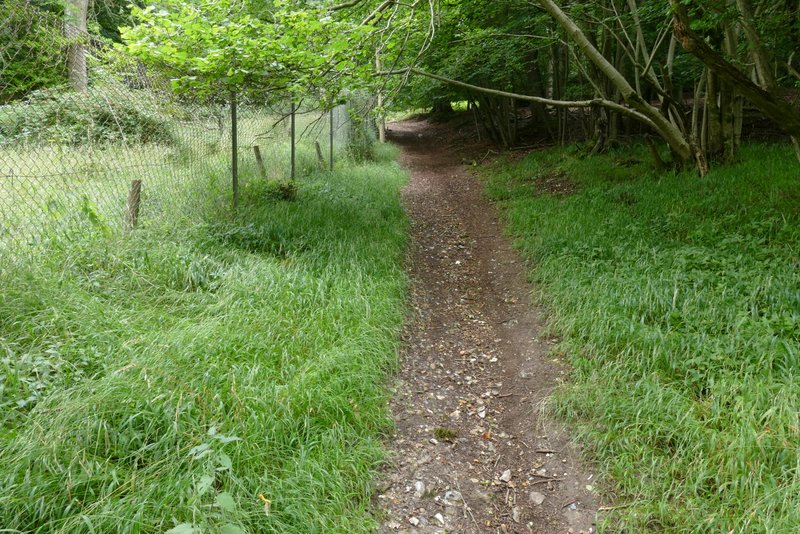
The bridleway from Stonor
The bridleway from Stonor
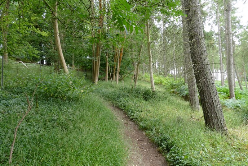
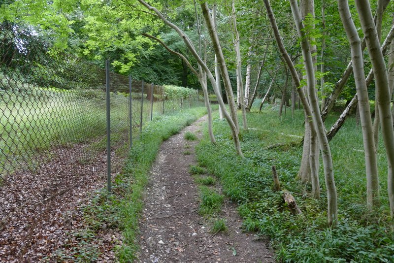
The bridleway from Stonor, beside the fence of Stonor Park (the gradient had eased a little here)
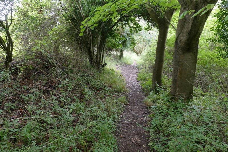
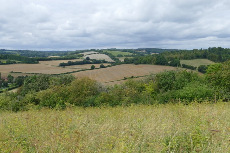
At the top of the hill, the bridleway emerged from the wood and I turned right along a short track that took me to Coxlease Farm and through its farmyard. Beyond the farmyard I turned right along another farm track. This next path was the reason I chose this route today - a couple of months ago I did a shortened version of my 'Maidensgrove, Ibstone, Middle Assendon' walk, which is my favourite route in the Chilterns, and this was the one really good path that the shortened version omitted. The track soon turned left and was then very pleasant to follow, as it ran southwards between corn fields with attractive views ahead and across the Stonor Valley to my right.
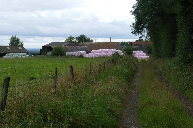
Approaching Coxlease Farm
The footpath south from Coxlease Farm
The footpath south from Coxlease Farm
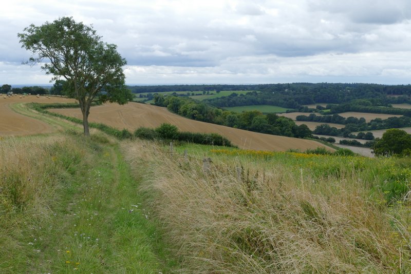
The footpath south from Coxlease Farm
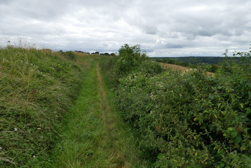
The footpath south from Coxlease Farm
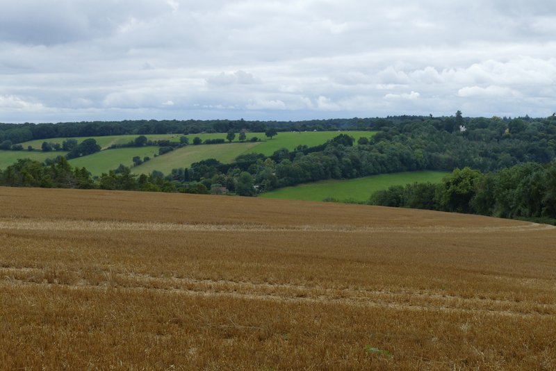
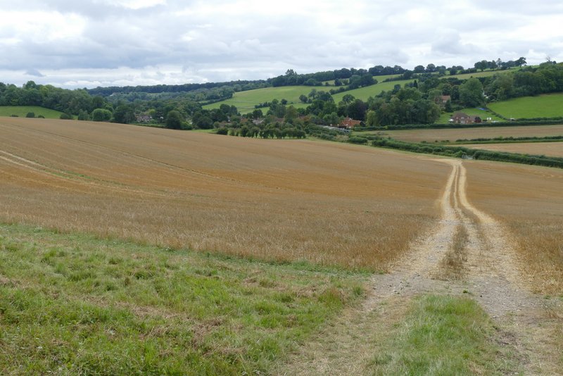
View over the Stonor Valley
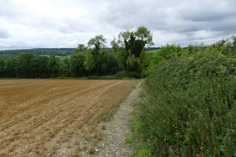
After about a mile, the path followed the hedge on my right as it turned right to reach Paradise Wood. Here I went over a stile into the wood, where the the path soon turned left to head south once more. I passed through an open area where part of the the wood had been cleared - I saw some more Nettle-leaved Bellflower here. At the southern end of Paradise Wood, the footpath rejoined the farm track, and followed it downhill through another corn field to reach a minor road just north of Middle Assendon.
Approaching Paradise Wood
Paradise Wood
Paradise Wood
The path continuing from Paradise Wood, down towards Middle Assendon
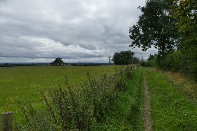
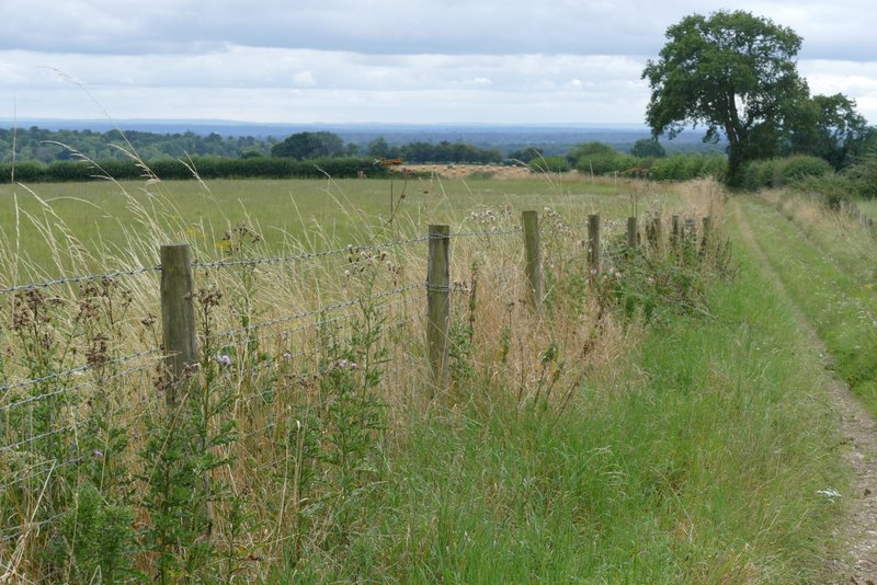
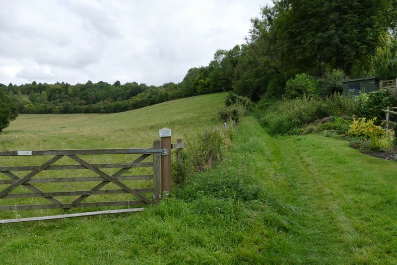
I turned left along the road and entered Middle Assendon. I turned left (east) at a junction opposite the village pub, and soon took a footpath starting on the right. This went steadily uphill between fences and hedges to a stile, beyond which it continued uphill between wire fences (the former meadows either side were planted with saplings as part of a conservation system). I had forgotten just how good the views here were looking back, along the Stonor Valley or over it towards Bix Bottom (I was fortunate that this section coincided with one of the very few bright spells today). The path levelled out and crossed another stile into a mown meadow, then ran between wooden fences (I saw some Chicory here) to reach a lane.
Near the start of the path east from Middle Assendon
The path east from Middle Assendon
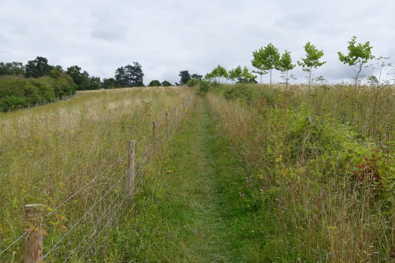
The path east from Middle Assendon
View left from the path east from Middle Assendon
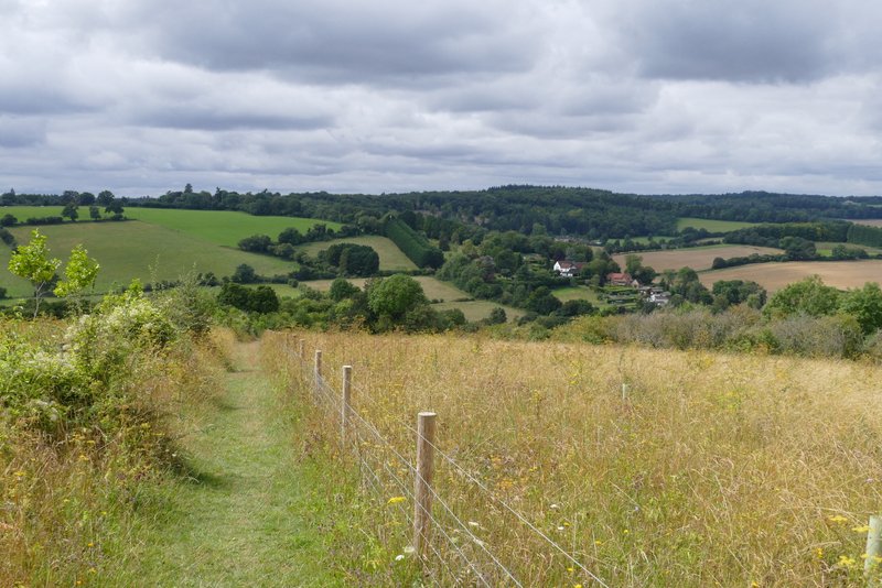
Looking back over the Stonor valley at Middle Assendon
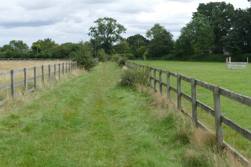
The path east from Middle Assendon
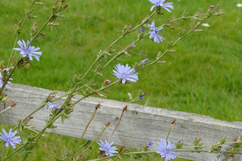
Chicory (second walk in a row that I've seen this)