Pete's Walks- Bledlow Ridge and Lacey Green (page 1 of 6)
If you are considering walking this route yourself, please see my disclaimer. You may also like to see these notes about the maps and GPX files.
Google map of the walkDownload GPX file of the walk
I did this circular walk of about 13.4 miles on Saturday, 28th August 2021. It was a repeat of my Bledlow Ridge and Lacey Green walk, which is Walk 13 of my Chiltern Chain Walk. Today I did it anti-clockwise, the first time I had done so since May 2008. Almost all the paths on this route are on other routes that I've walked since then, but there was a mile or so in and out of Lacey Green that I hadn't walked since then.
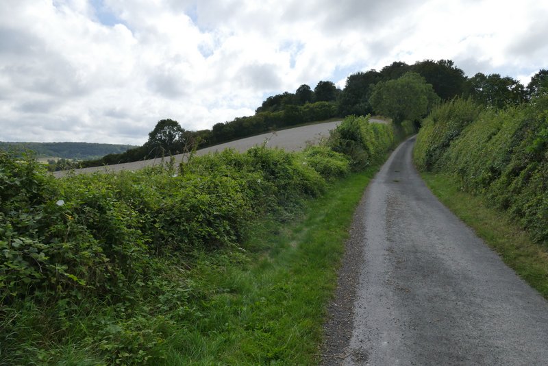
I parked in a side street in Bledlow Ridge, about a third of a mile south of The Boot pub. Having had a very late start it was about 10:50am as I walked back up the road towards the pub, and then turned right on to a footpath opposite a property called Capel House. This ran between garden boundaries and on between wooden fences with a freshly mown meadow to my right. It then went through a gate into a pasture that sloped steeply downhill. It went 'three-quarters' right (i.e. not right but more than half-right) across the pasture to the trees on the far side, then followed the edge of pasture down to s stile (I've since seen that the OS map shows the path going some way down the left of the field and then half-right to the corner, but I don't ever remember seeing any sign of such a path). The path continued more gently downhill through a second smaller pasture, and continued across a flat cornfield to reach a surfaced drive (going to Lodge Hill Farm, some way to my left). I turned right and followed the drive a short way to reach Haw Lane (despite its name its a B-road).
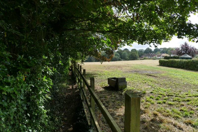
Near the start of the walk, at Bledlow Ridge
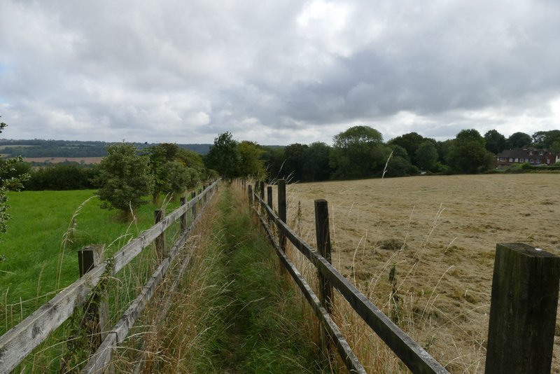
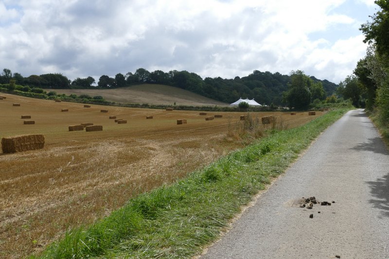
Further along the same path
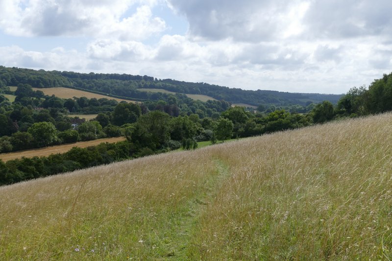
The path through the first pasture - it goes across to the trees on the far side and follows them down to the field corner. The OS map shows the path going some way down the left of the field and then half-right to the corner
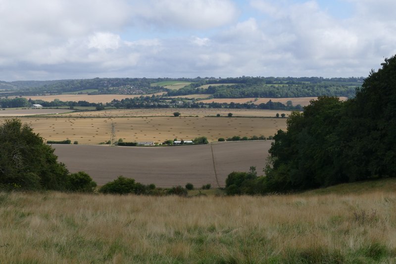
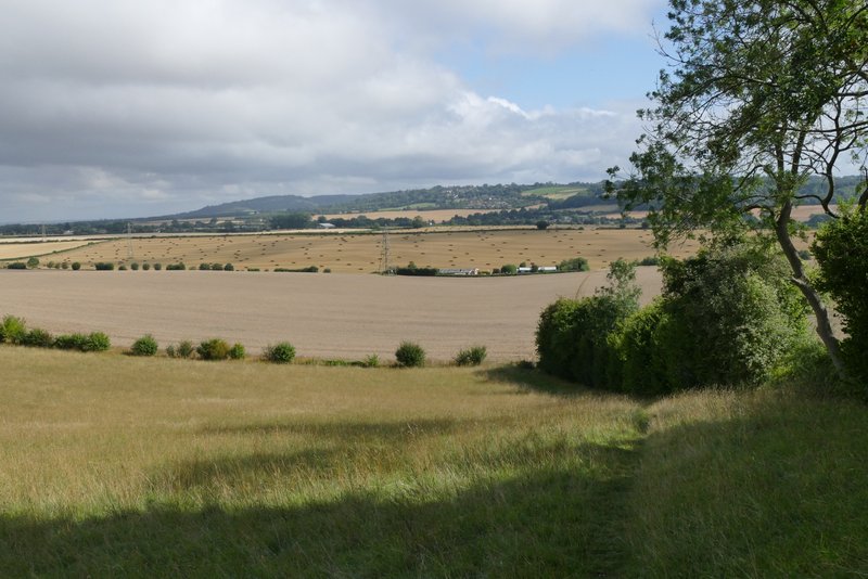
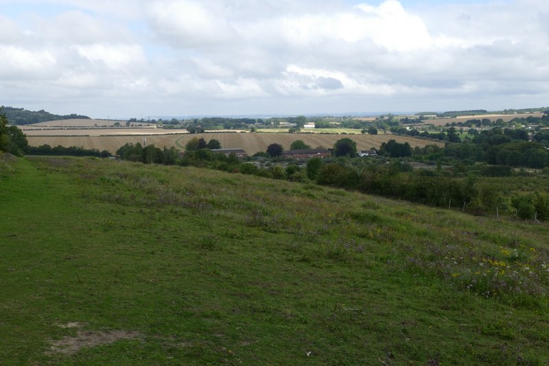
View across the Saunderton valley from the first pasture
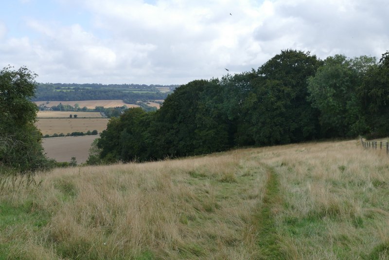
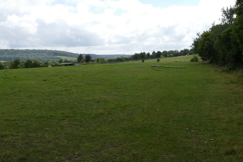
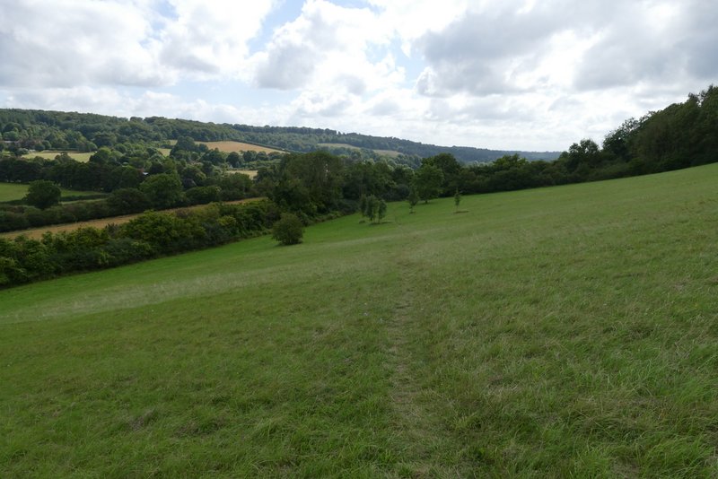
The path through the second pasture
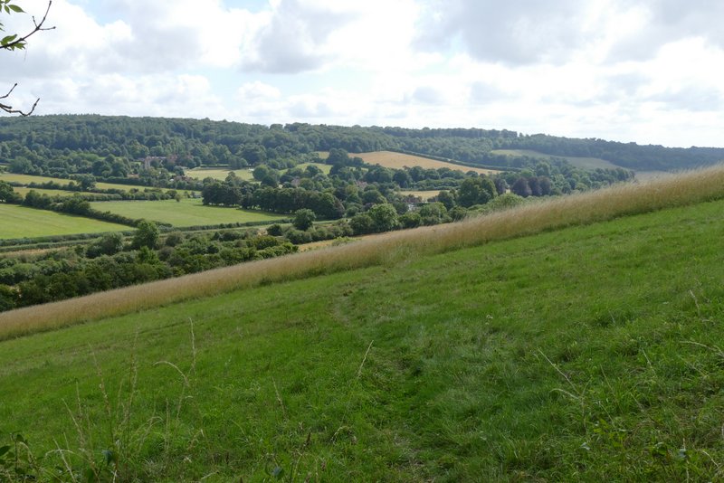
I turned left and went up and down a small dip (taking care as I reached a blind summit). I then turned right onto a footpath, which ran along the right edge of three small meadows or pastures, gently rising up Slough Hill - a couple of stiles along here were missing their steps and had to be clambered over. There were nice views to my left, and looking back from the top of the hill. Near the top of the small hill, the path went over a stile and continued just inside a wood for a while, before emerging to follow the edge of a field down the far side of the hill to Slough Lane.
The drive after I turned right
The path up Slough Hill
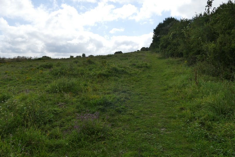
The path up Slough Hill
Looking back from near the top of Slough Hill>
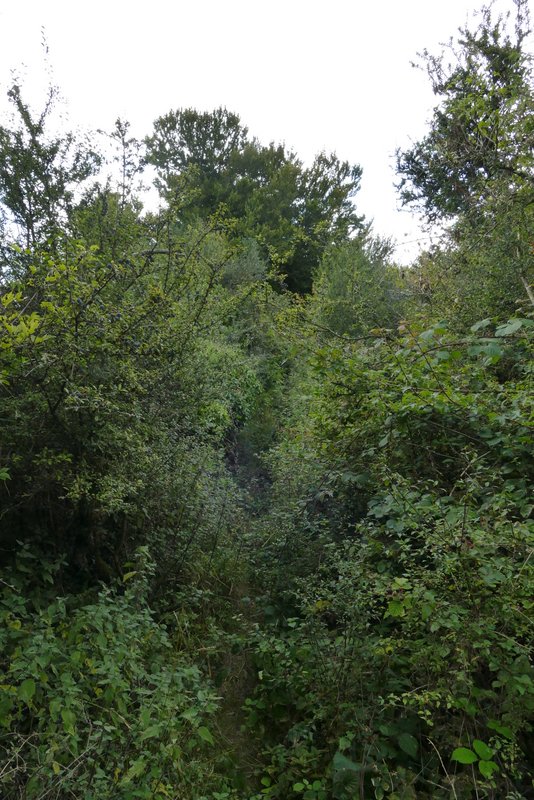
The path continuing down the other side of Slough Hill
The path continuing down the other side of Slough Hill
The path continuing down the other side of Slough Hill
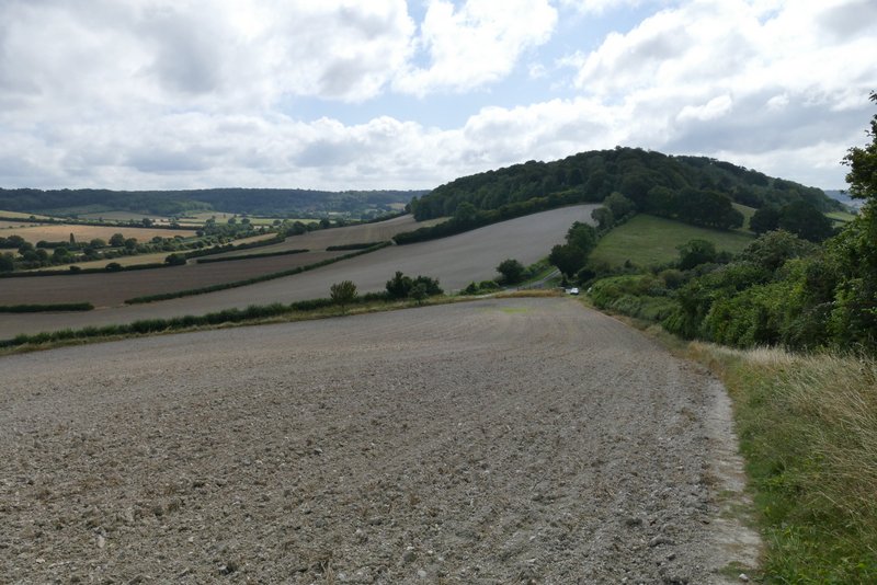
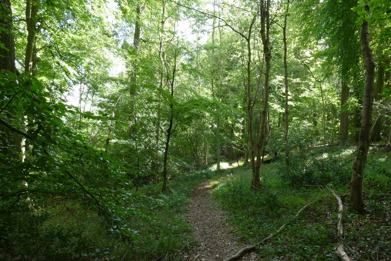
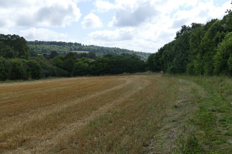
My route now continued along a tarmac farm drive opposite (it goes to Nobles Farm), running between hedges and soon rising quite steeply up another hill (slightly bigger than Slough Hill, but not named on the map - it's the end of a ridge that has West Wycombe Hill at the other end). Near the top of the slope it reached Allnutt’s Wood, where I was surprised to see a large section of the wood on the right had been cleared (it must have been done since I was last here in December 2018). Just a few yards before the cleared section I took a footpath forking half-left through the trees. This was a very pleasant woodland path, marked by white arrows, which very gently descended to a gate on the far side. The path continued descending gently, now across a steep hillside - this is a really nice path, with good views ahead. Near the bottom of the hill I reached a hedgerow which I followed to the right. The path soon switched to the other side of the hedge, and then entered an empty pasture. Here I turned left and went under a railway bridge (not visible from where you enter the field). I then went slightly left across another pasture (or the continuation of the first one), and crossed over the main road through the valley (from Princes Risborough to High Wycombe, some miles to my right). I then went a few yards to my right, and then turned left by the Red Lion pub to reach Bradenham.
The drive continuing ahead towards Allnutt's Wood
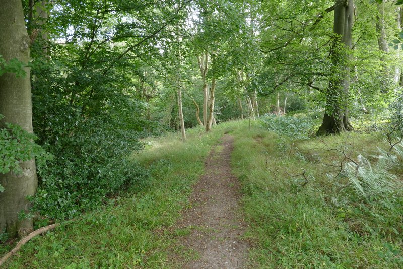
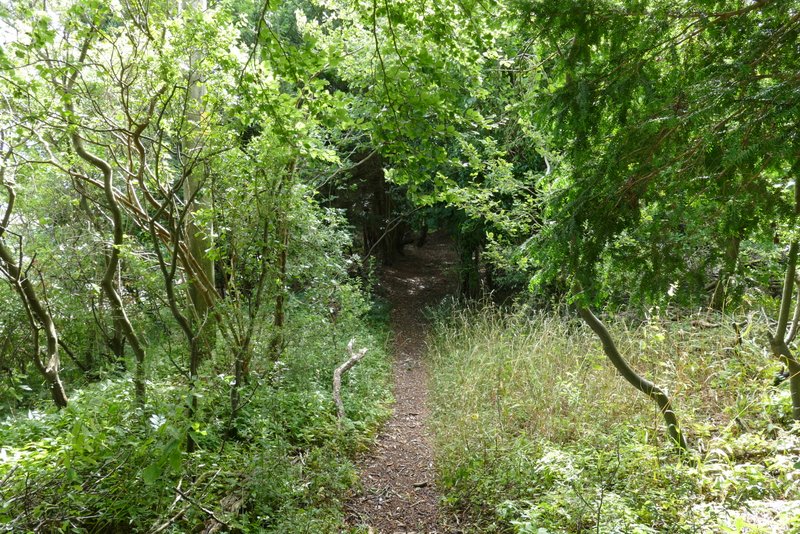
The path through Allnutt's Wood
The path through Allnutt's Wood
The path continuing from Allnutt's Wood
The path continuing from Allnutt's Wood
The path continuing from Allnutt's Wood
The path continuing from Allnutt's Wood
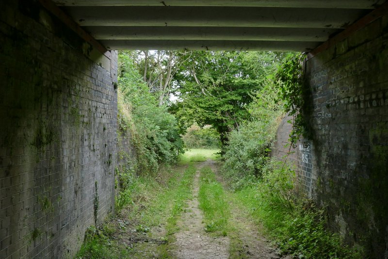
View ahead from under the railway bridge