Pete's Walks- Bledlow Ridge and Lacey Green (page 3 of 6)
If you are considering walking this route yourself, please see my disclaimer. You may also like to see these notes about the maps and GPX files.
Google map of the walkDownload GPX file of the walk
Just beyond the second tree belt, I turned half-right onto a path that briefly followed the edge of a field, before continuing between hedges. It curved slightly left, and after a few hundred yards I turned off it, a short path on the right going a few yards between bushes and trees to reach the drive to the quaintly named Promised Land farm, just to my right. The path continued over a stile, rising uphill through the middle of a large cow pasture (there were some cows resting over to my left when I got to the top of the hill). It continued through a smaller pasture at the top of the hill, then went along the drive of a house to reach a lane in Lacey Green.
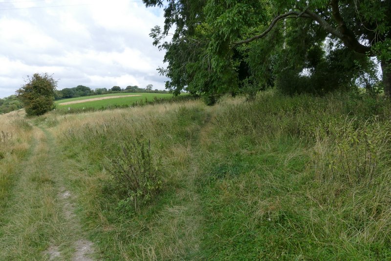
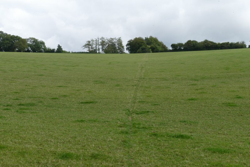
Where I turned half-right, just after the second tree belt
The path after I turned half-right. Where the post is in the centre of the shot, it continues between hedges either side
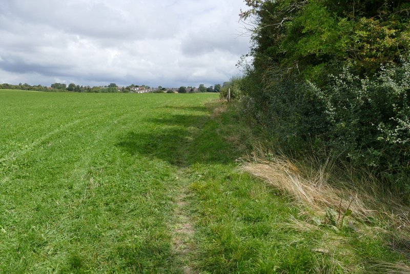
Further along the same path
Further along the same path
The path after I crossed the drive to Promised Land Farm
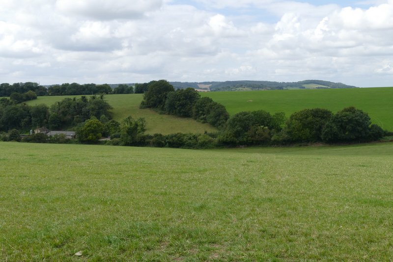
View back from near Lacey Green - the building on the left is Promised Land Farm
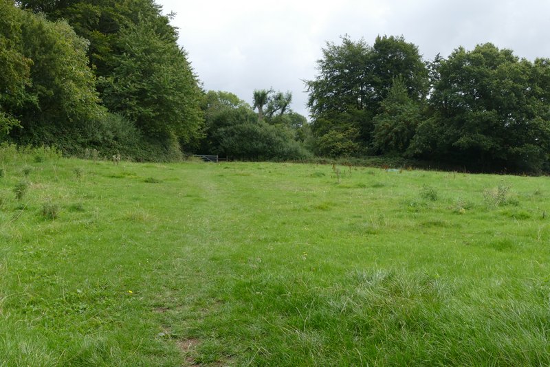
The pasture just before reaching Lacey Green
I followed the lane to the left. On reaching the main road through the village I went left, but only for a short distance before turning right into Kiln Lane. After about a quarter of a mile, at a fingerpost on the right, I went right for a few yards, then left on a bridleway that ran downhill between overhanging hedges that formed a 'green tunnel'. At the bottom of the hill I rejoined Kiln Lane lane and followed it as it went right, along the bottom of a small valley called Highwood Bottom. I passed just a couple of houses on the left, beyond the second of which the surfaced lane became a path (the OS map shows that it's all actually a byway) - I didn't comment on this when writing up my walk in 2008, I think it was all a surfaced lane then.
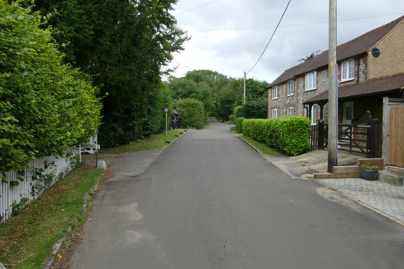
Lane in Lacey Green
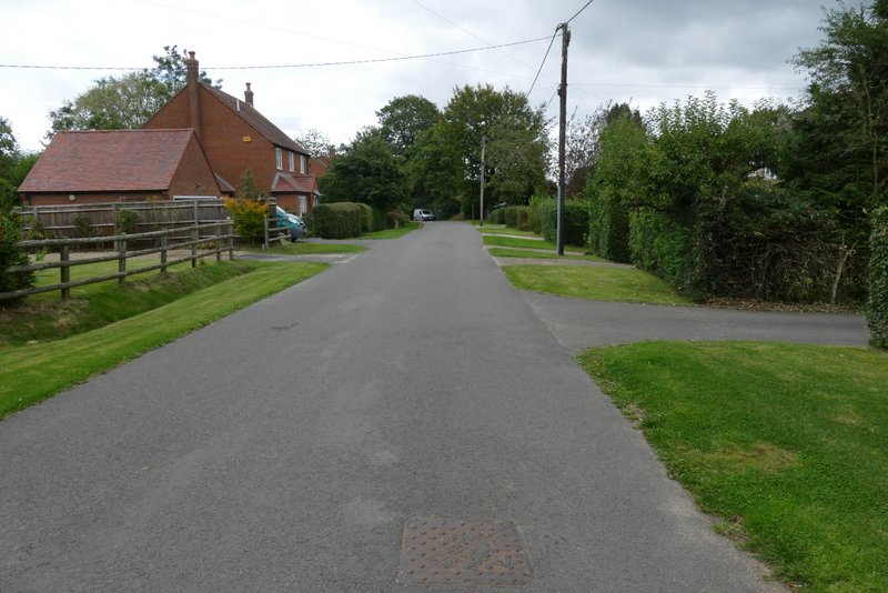
Kiln Lane, Lacey Green
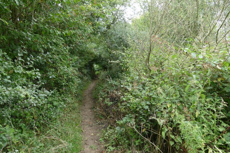
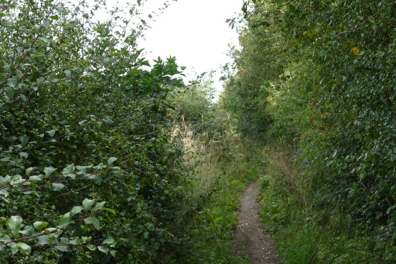
The bridleway connecting two parts of Kiln Lane
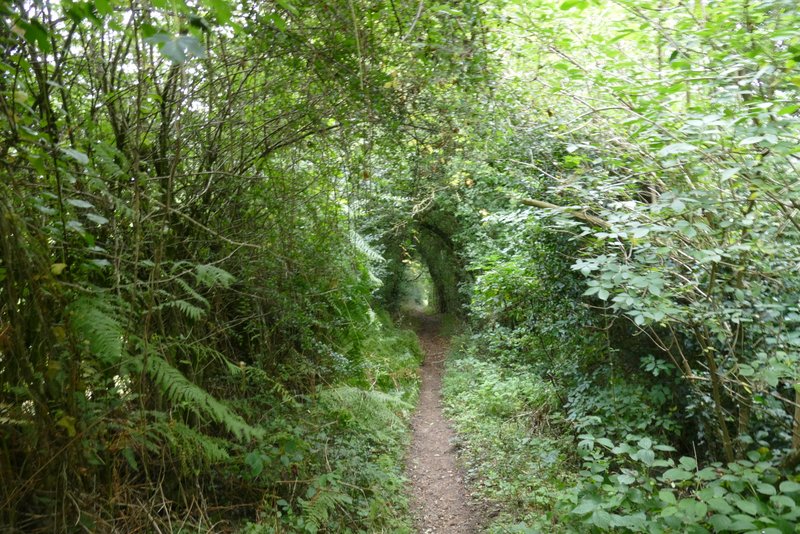
The bridleway connecting two parts of Kiln Lane

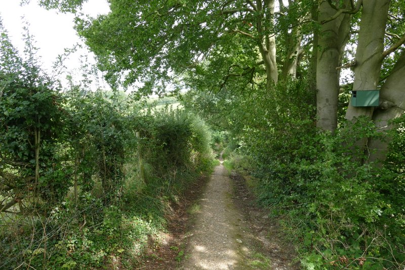
Kiln Lane
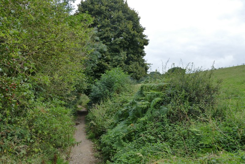
Kiln Lane