Pete's Walks- Bledlow Ridge and Lacey Green (page 5 of 6)
If you are considering walking this route yourself, please see my disclaimer. You may also like to see these notes about the maps and GPX files.
Google map of the walkDownload GPX file of the walk
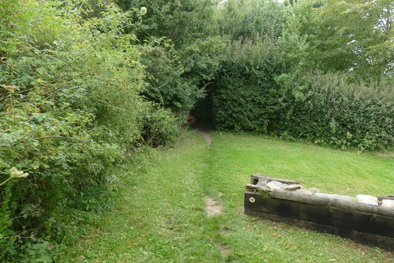
On reaching the main road in Lacey Green, I crossed over and took the road opposite, going downhill into the adjoining village of Loosley Row. I stopped on a convenient seat along here to eat my lunch, it was now about 2:25pm. I turned right at a junction, and after a fairly short distance took a path on the left – I was still following the Chiltern Way, so this route was very familiar to me. The path went past some horse chestnut trees, and then joined the drive from Collin's Farm , continuing downhill back into the Saunderton Valley. Near the end of the drive I followed the official line of the footpath, going half-left across some grass, before turning right (just before reaching a lane) and then soon crossing over the drive, before following the edge of a field to reach the main road through the valley (A4010) again.
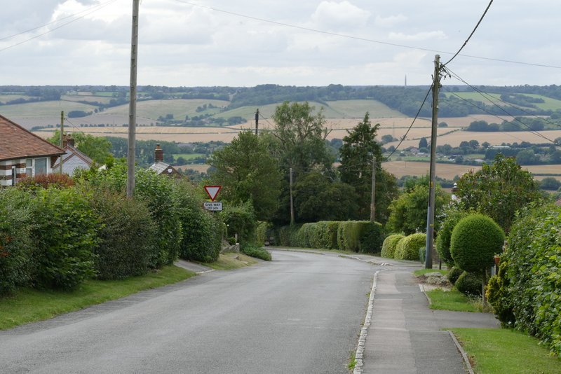
The road from Lacey Green to Loosley Row
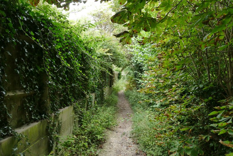
The path to Collin's Farm
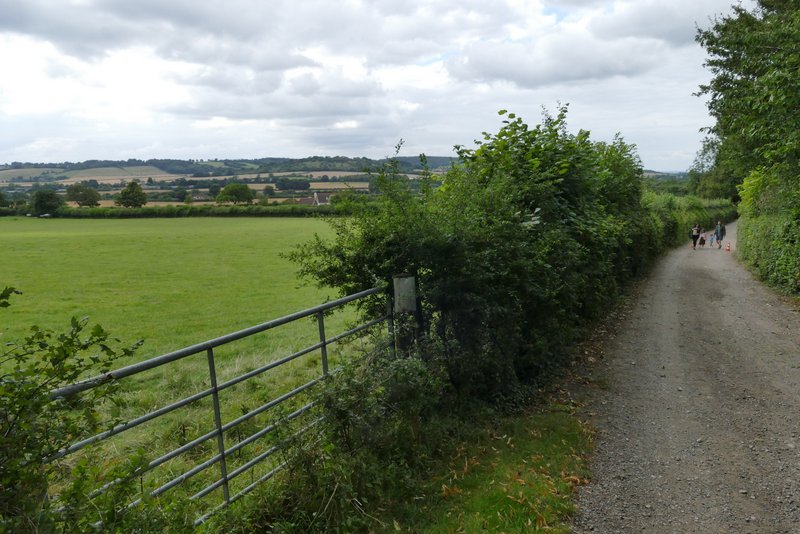
The drive from Collin's Farm
Where the path forks left from the drive from Collin's Farm
The path after crossing the drive from Collin's Farm
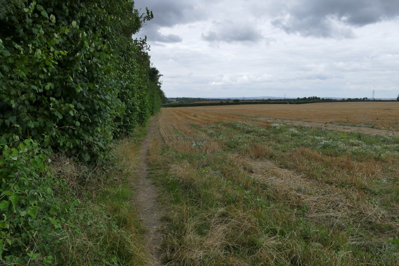
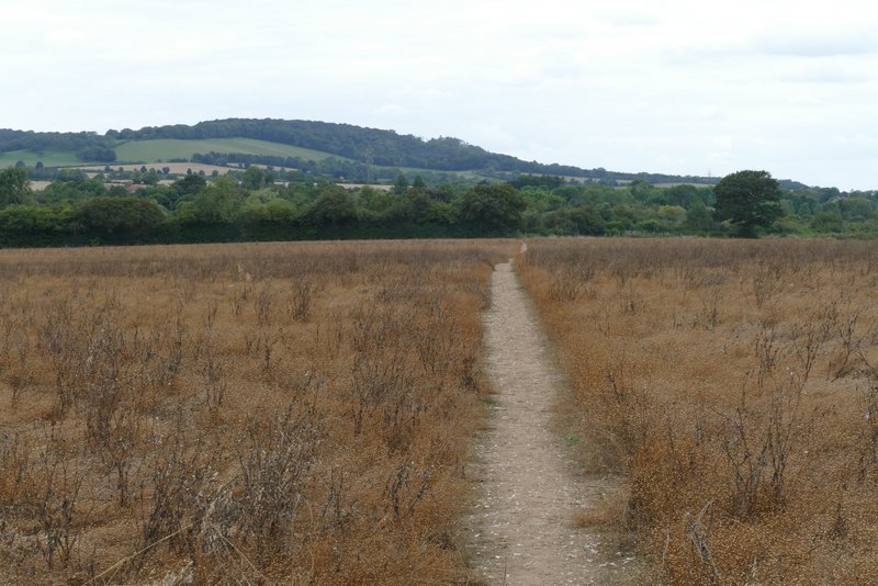
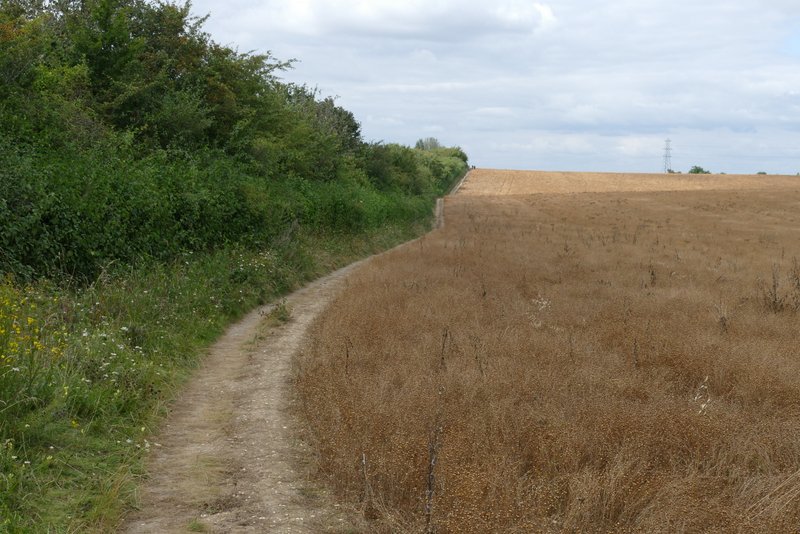
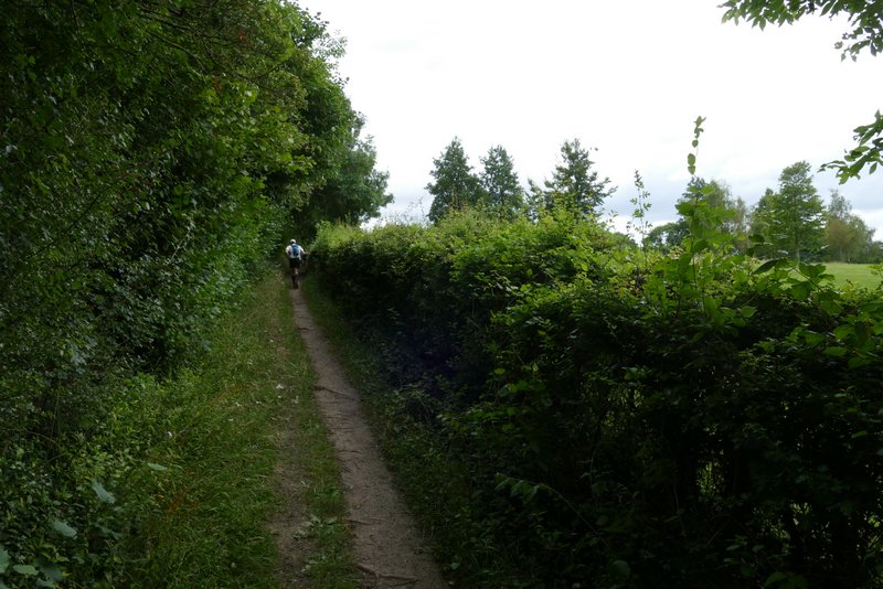
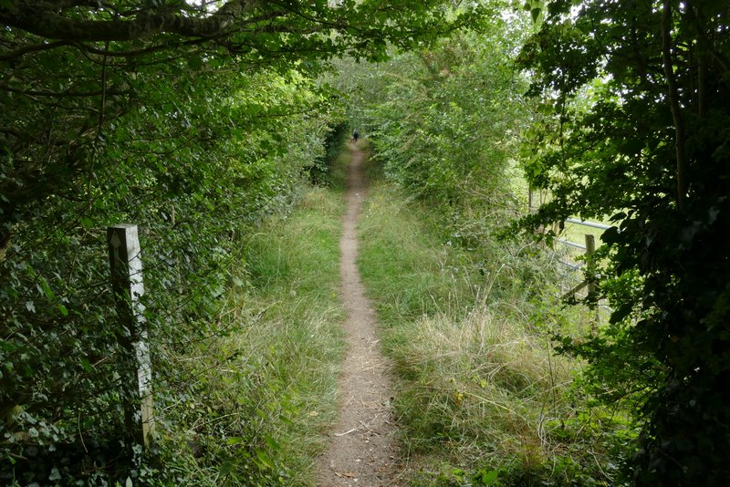
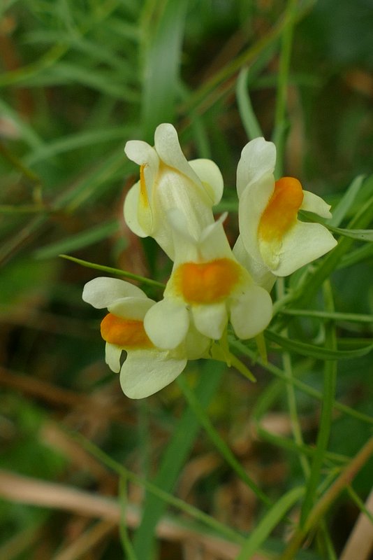
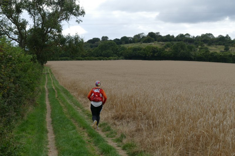
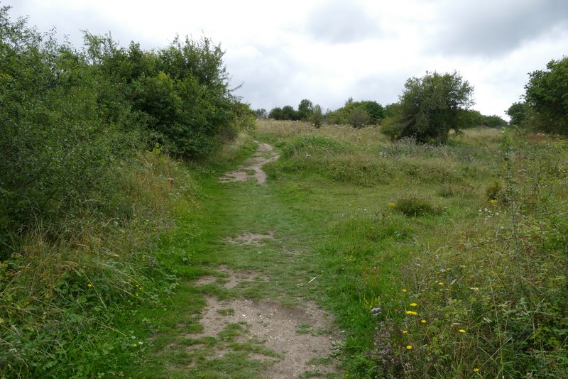
On the other side of the road, I followed a lengthy path through a flat stubble field. I went straight on where a bridleway crossed the path. On the far side of the field, the path turned right, with a railway line running through a cutting on my left (out of sight). After several hundred yards, I turned left at a path junction, through a gate onto a path over the tunnel. I was now on the route of the Ridgeway - and also on the route of some organised challenge run, as I now had quite a number of runners and fast walkers pass me on the next section. As I crossed a meadow beyond the tunnel, the Chiltern Way turned off to the right somewhere, but I continued ahead, following the Ridgeway. I crossed another railway line (there were marshalls here for the organised run), and continued on a path between hedges across part of a golf course. The route then ran between more hedges (where I spotted some Common Toadflax) and round the side of a house and along its drive to a minor road.
The path after crossing the main road (A4010)
The same path after it turns right (the next path junction, where I turned left, is roughly on the skyline in this shot)
The path after going over the railway tunnel, with Lodge Hill now in view ahead
Zoomed in shot of Lodge Hill
The path continuing through the golf course
The path continuing from the golf course
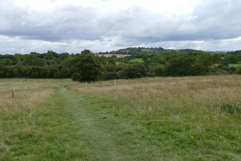
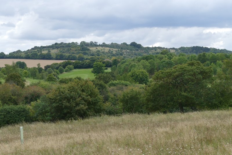
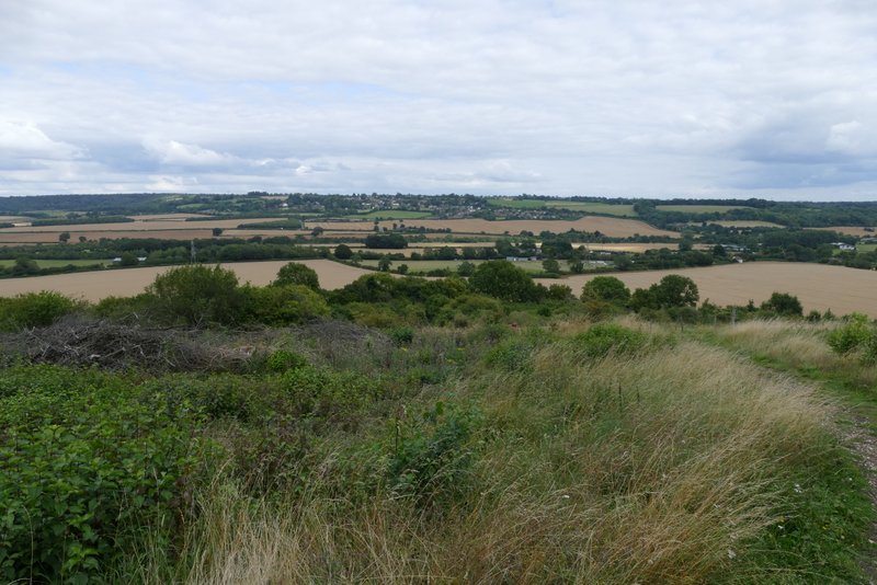
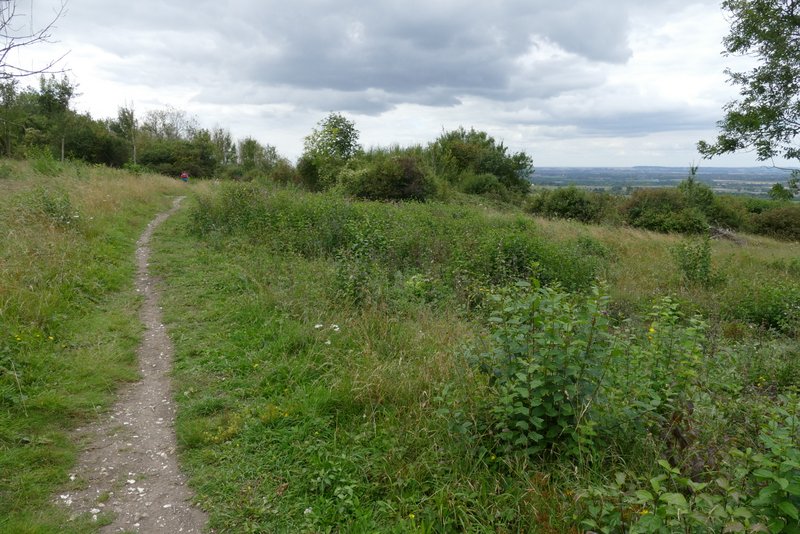
On the other side I took a bridleway that followed a left-hand hedge, beside a corn field with Lodge Hill immediately ahead of me. Near the foot of Lodge Hill, the the bridleway went left but a footpath (and the Ridgeway - and the organised run) went straight on, climbing steadily up the scrub covered slopes of Lodge Hill. There was then a very pleasant section along the flattish top of the hill (one of my favourite places in the Chilterns). There were good views in most directions – north towards the Vale of Aylesbury, north-east to Whiteleaf Cross on Whiteleaf Hill , east back across the valley to Loosley Row and Lacey Green, and south to where Slough Hill and the wooded hill behind it split the wide Saunderton valley into two narrower valleys (the trees and bushes have grown since I first came here about 15 years ago, and now the views seem a bit more restricted than I remember).
The path to Lodge Hill - I was passed by a number of runners and walkers on this section
The path up Lodge Hill
View back from Lodge Hill
The path over Lodge Hill
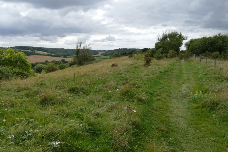
The path over Lodge Hill
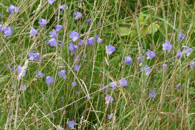
Harebells on Lodge Hill
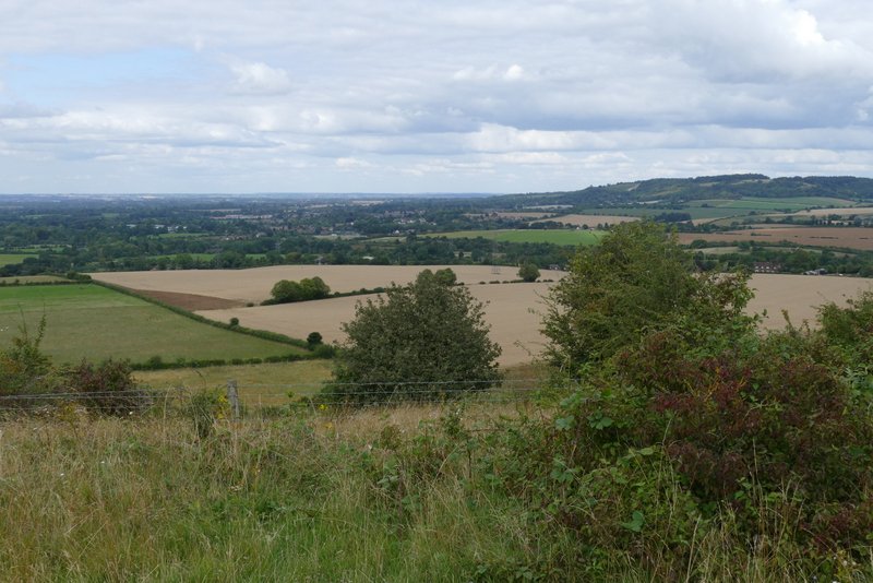
View north from Lodge Hill
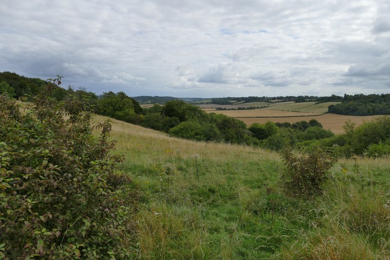
View south from Lodge Hill