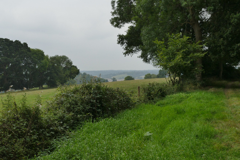
Pete's Walks- Southeast from Watlington Hill (page 3 of 4)
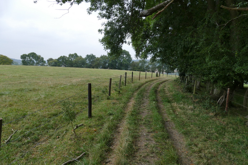
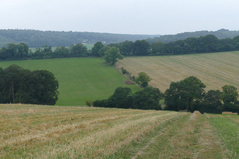
Through the kissing-gate I turned right (this was a path T-junction) along a track between a fence and a hedge line on my right. Soon there was a nice view to my left, along the Stonor valley. After a few hundred yards, the path descended steeply into a valley. In the valley bottom I crossed a bridleway and continued ahead up a short rise beside a hedge on a bank to reach Hollandridge Lane. A path continued on the other side, dropping down into another valley.
The path going southwest, after I went right at a path junction
The path continuing southwest
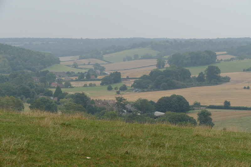
View left, over Stonor in its valley
The path now descending, to cross a bridleway in a valley
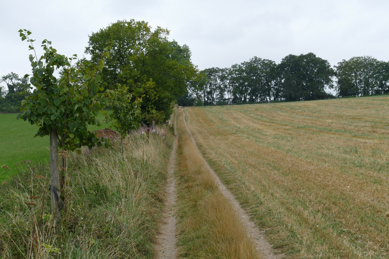
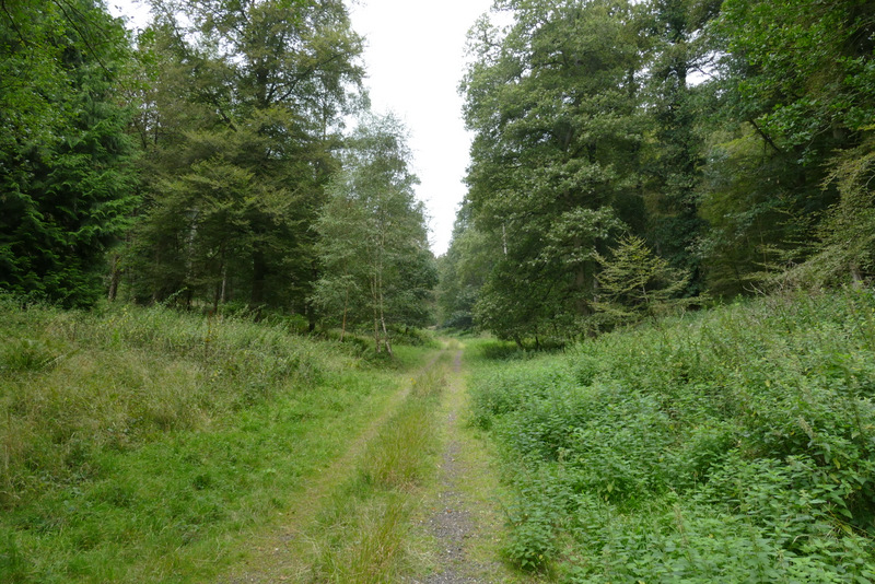
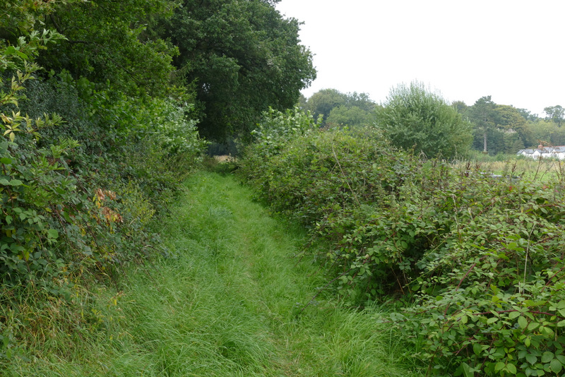
The path continuing uphill, to reach Hollandridge Lane
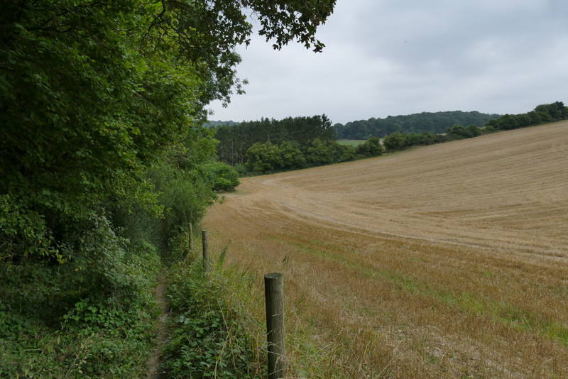
The path continuing downhill from Hollandridge Lane
Near the end of the path continuing downhill from Hollandridge Lane
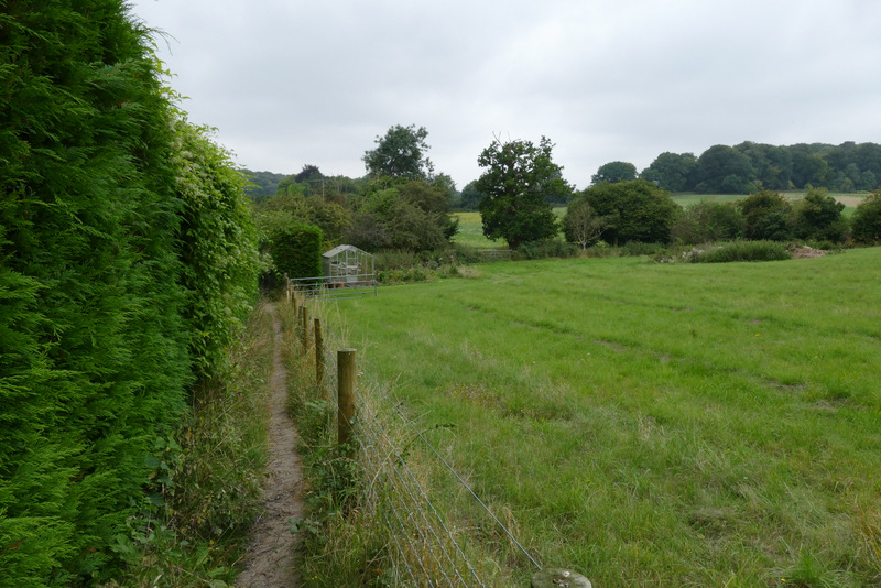
At the bottom I turned right by some houses in Pishill, and followed a long path along the valley bottom to reach College Wood. The path soon bore slightly right in the wood and started to gradually rise uphill. It levelled out for a bit before rising again as it turned right. It finally levelled out again, and stayed close to an edge of the wood on my right. After a few hundred yards I reached a path junction (by a gate, a few yards to my right, that led out of the wood).
The path from Pishill to College Wood
The path in College Wood
The path in College Wood
The path in College Wood
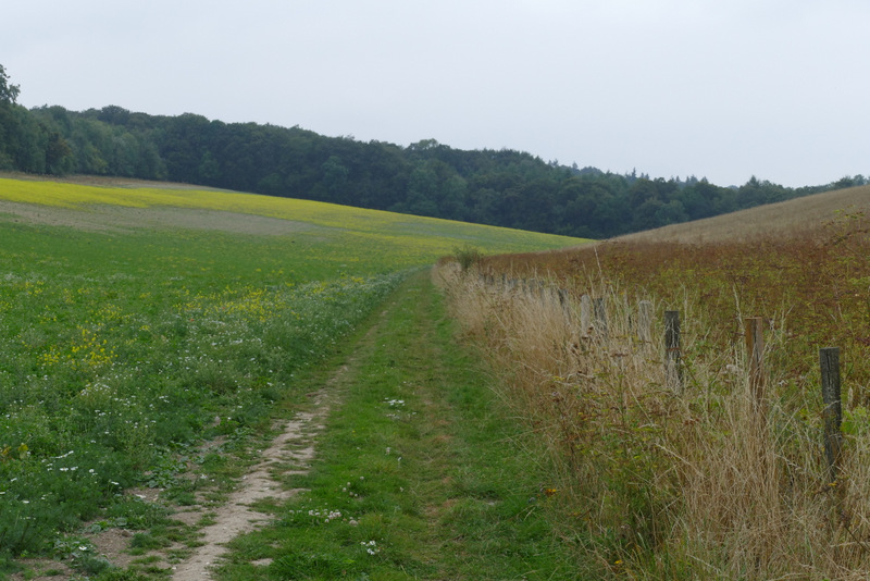
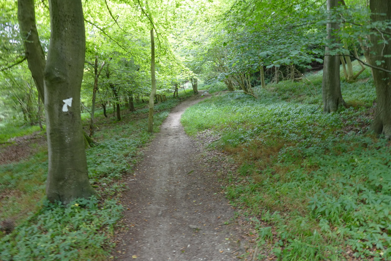
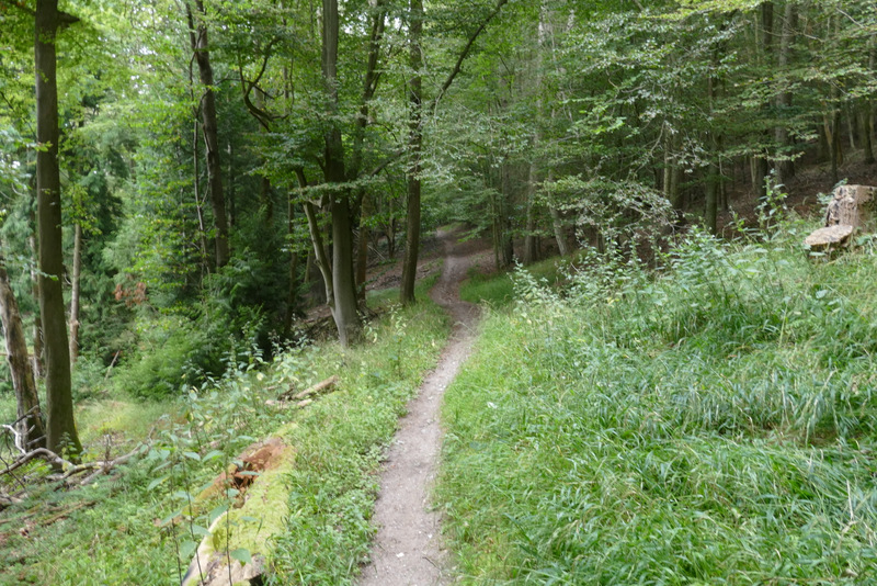
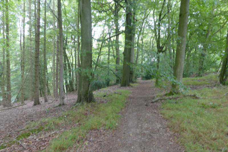
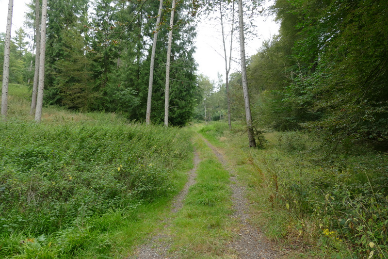
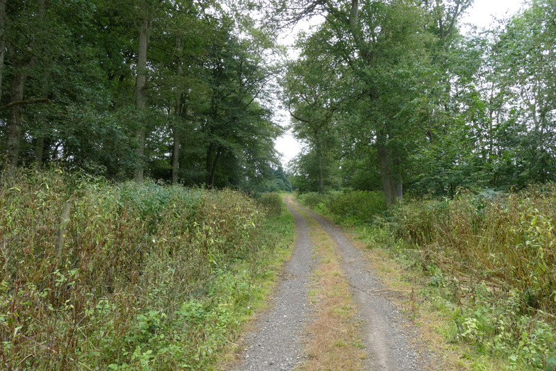
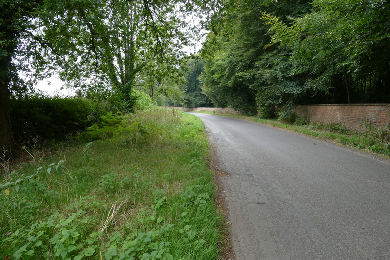
Instead of going right to the stile and leaving the wood, I turned left and followed a bridleway that dropped downhill through the trees. In the valley bottom I took the bridleway going right on the furthest of two tracks going right here (a white arrow on a tree a short way along the track pointed the way). I saw two cyclists come down the other track on the right, and thought they were either lost or trespassing, but Ive just seen on the OS map that that part of the wood is an Open Access Area, so I may well use that track myself on a walk in the future. The bridleway ran for almost a mile through the wood, rising almost imperceptibly. On finally leaving the wood the bridleway turned right, almost immediately forking left from the track. It soon turned left and led on to a gate on a road. I turned left, and followed the road the short distance to Greenfield.
The bridleway going northwest through College Wood
The bridleway going northwest through College Wood
The bridleway just before it leaves the wood
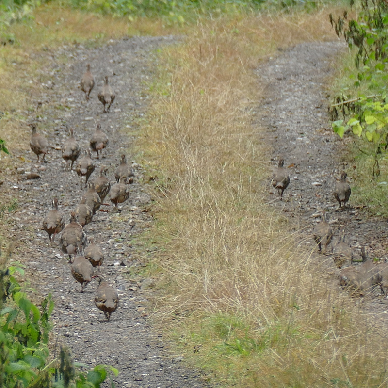
Red-legged Partridges
The bridleway after it turned right
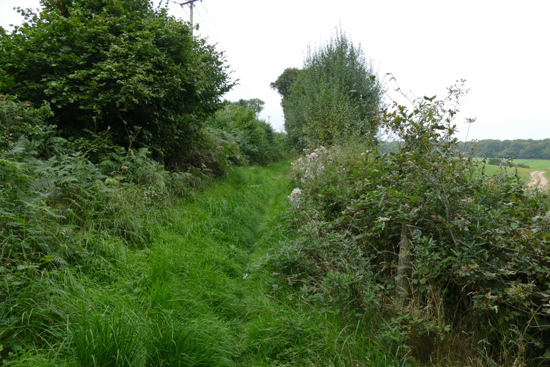
The bridleway just before it reaches the road
The road to Greenfield