Pete's Walks - Coombe Hill and Great Kimble (page 2 of 4)
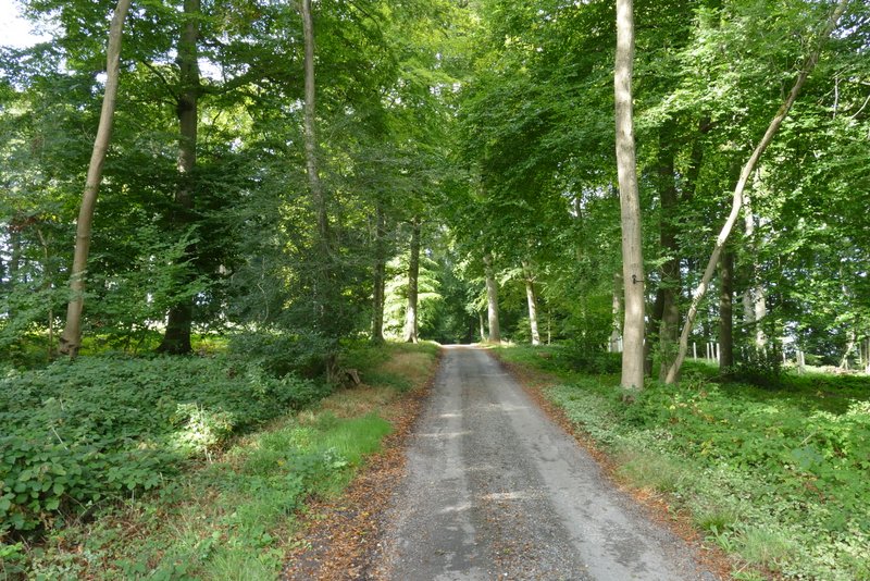
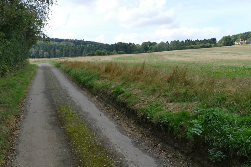
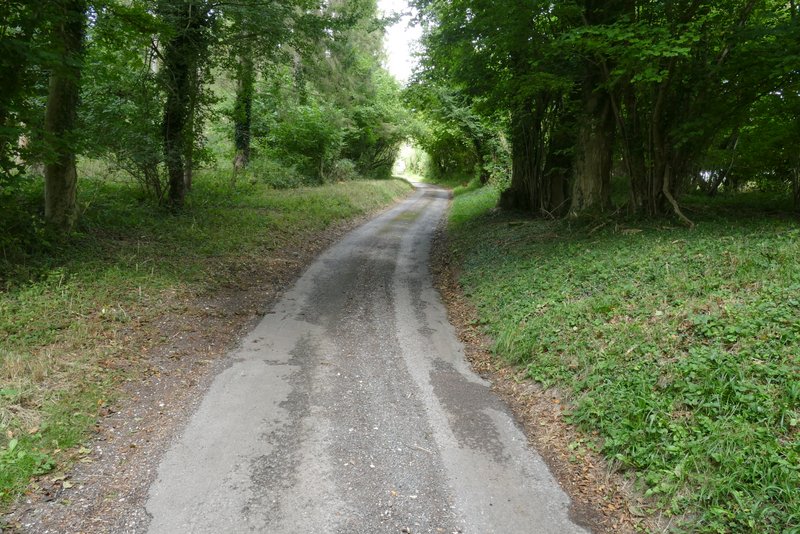
The path through Fugsdon Wood rose slowly and then descended gently to a dip (after about half a mile) where I went straight on at a five-way path or bridleway junction. After a while this path was running on the eastern edge of Chisley Wood, and within a few hundred yards it brought me to a path junction, where I went a few yards to the left to reach the end of an old lane (presumably it once continued to Little Hampden).
Fugsdon Wood
Fugsdon Wood
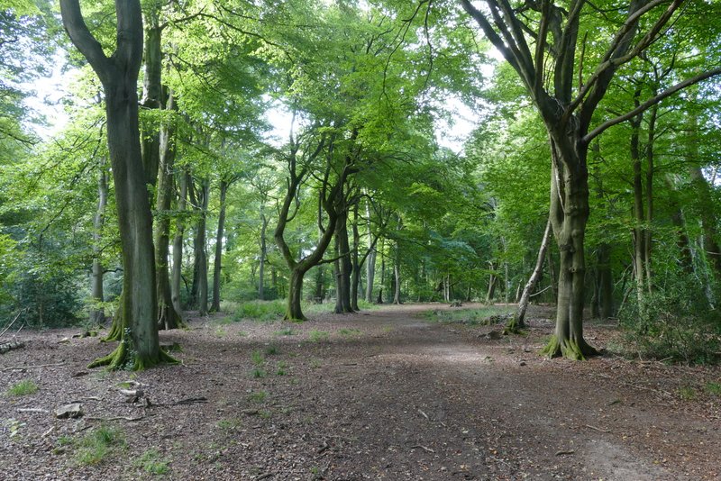
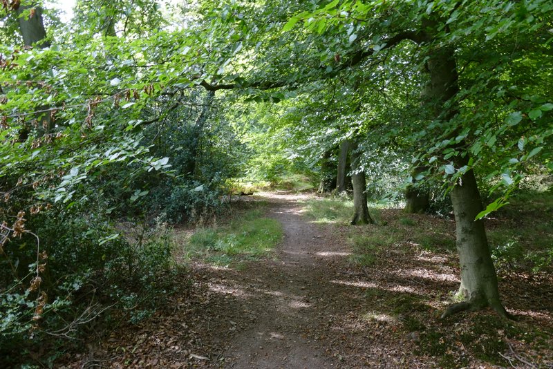
Fugsdon Wood, approaching the five way junction
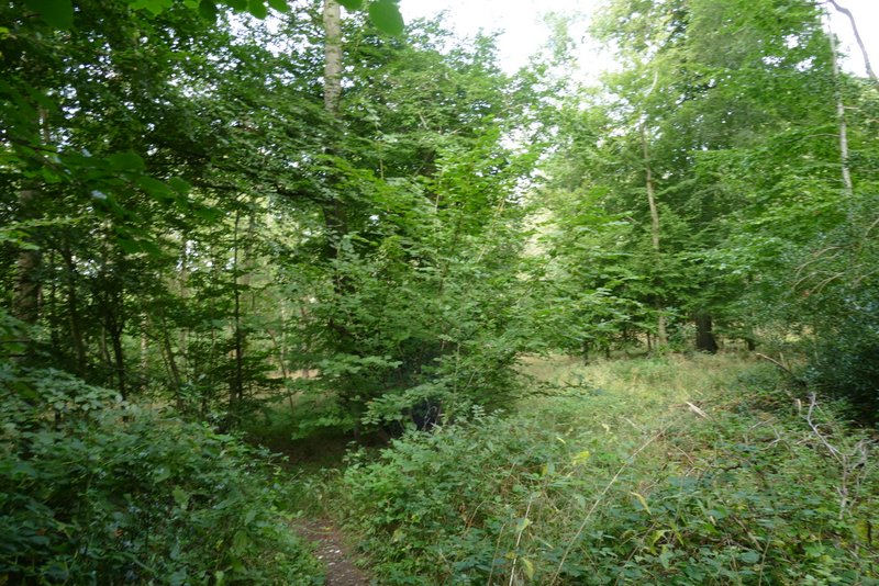
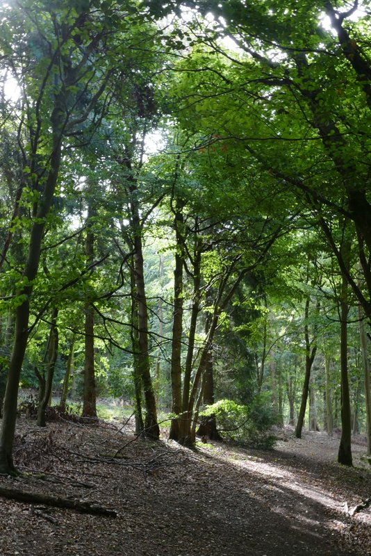
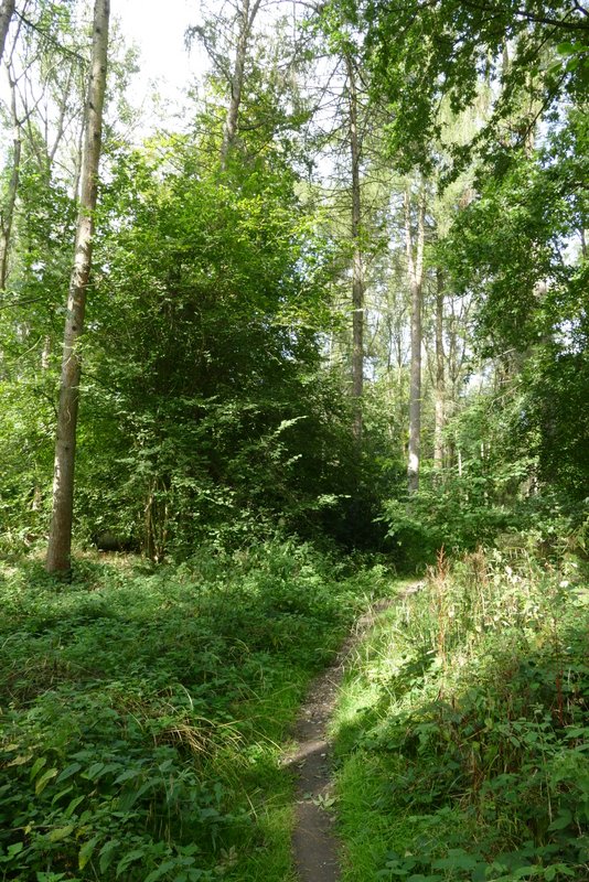
The path through Chisley Wood
The path through Chisley Wood

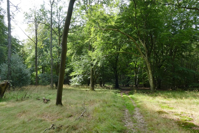
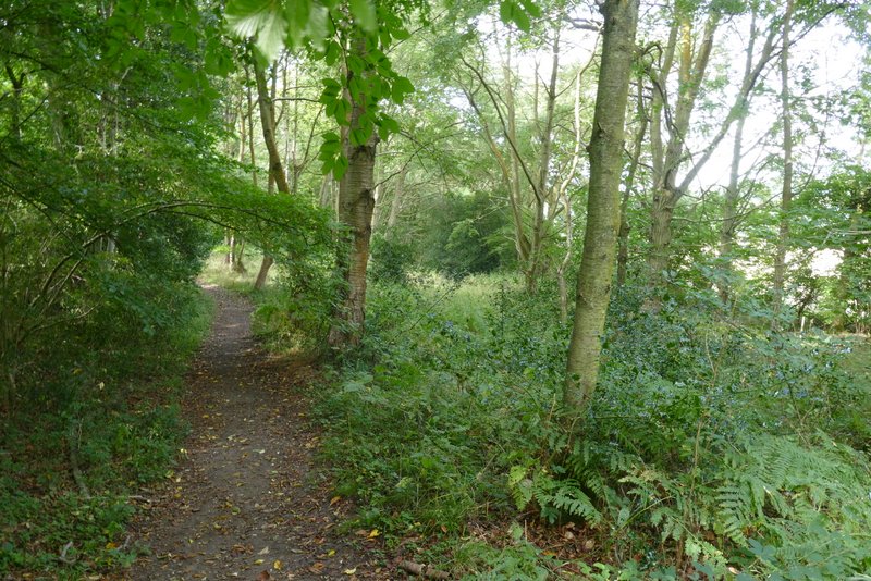
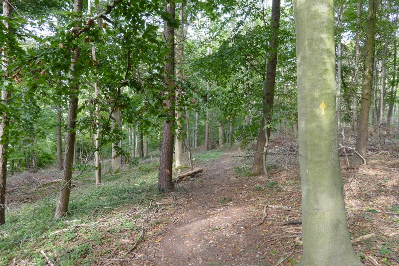
The end of the old lane, north of Little Hampden
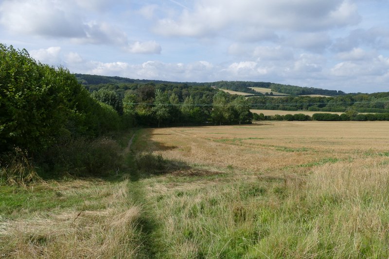
A few yards to my right, along the old lane, a path went left, into yet another wood, this one called Hengrove Wood. I was a little surprised how far I had to go until I reached the next path junction, I was almost at the bottom of the slope when I reached it. I went left here, and a few yards further on went left again when I came to another junction (the path going right here isn't a public right of way). The path immediately turned right, and there was now a field close by on my right. A little further on I turned left again (now heading into Widnell Wood, though it's not named on the OS map). This path was now heading south, and gradually rising a little again. I went straight on where an arrow pointed half-right (this is not a right of way according to the OS map). As I drew close to the edge of the wood on my left, I looked out for and eventually found a path junction where a path went sharply right. This led downhill, then left the wood and followed a field edge to reach a property (possibly Dirtywood Farm, that's the name on the map but the name at the end of the drive is something else). The path followed the property's boundaries round to the right, then continued down its drive to reach a minor road.
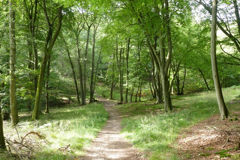
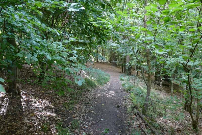
The path descending through Hengrove Wood
Hengrove Wood, just before I turned left (the second time)
The path going south through Hengrove Wood
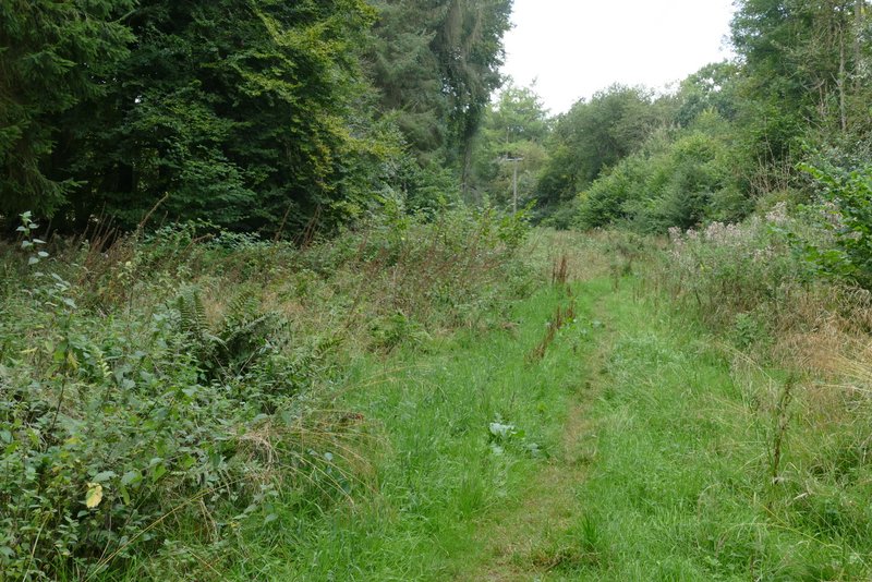
Further along the path, possibly now in Widnell Wood
The path after I turned sharp right in Widnell Wood
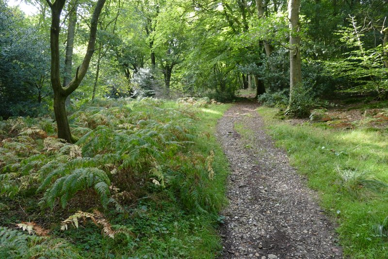
The path to Dirtywood Farm
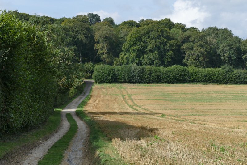
The path past Dirtywood Farm, approaching the road
Across the road I followed a very lengthy tarmac drive to Solinger House, where I re-entered the woods, now in Sergeant's Wood. My report of this route in 2011 says I 'went straight on where another path crossed my path', which corresponds to the OS map, but I found I came to a T-junction where I needed to go left, and then take the right-fork at the next junction. On finally reaching a junction at the far side of Sergeant's Wood (just before a gate) I turned right and after a few yards went straight on at a second junction (the paths on the ground don't seem to correspond too well to the map here). This path curved slightly left through Ninn Wood.
The start of the drive to Solinger House
The drive to Solinger House
The drive to Solinger House, after it turns right
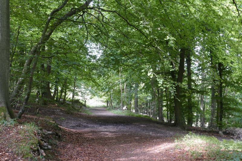
Near the start of the path into Sergeant's Wood
Sergeant's Wood
This is where I turned right, just before Ninn Wood