Pete's Walks- Southeast from Cadmore End (page 5 of 6)
If you are considering walking this route yourself, please see my disclaimer. You may also like to see these notes about the maps and GPX files.
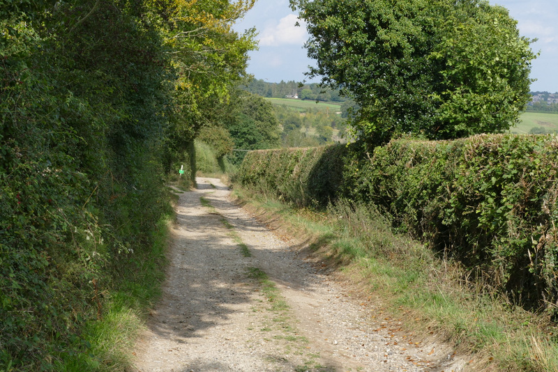
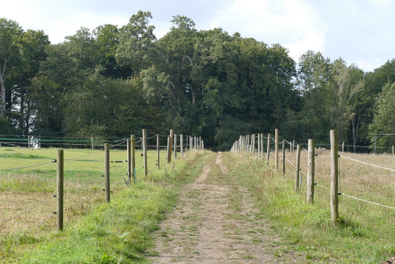
When I reached a path T-junction, I turned left and carried on through more of the wood - there were people clay-pigeon shooting somewhere nearby on the right. After a few hundred yards I reached the tall green fence surrounding a reservoir, which the path followed to the left. It then turned right along another side of the reservoir, and then continued along the drive from the reservoir. After maybe three hundred yards or so, I turned right onto a path that ran through another section of Widdenton Park Wood (there was a short waymark post on the right here, which I somehow missed initially). The path soon turned half-left, and eventually left the wood where a drive reached a road. I turned right along the road and immediately crossed the M40.
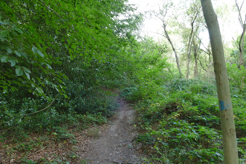
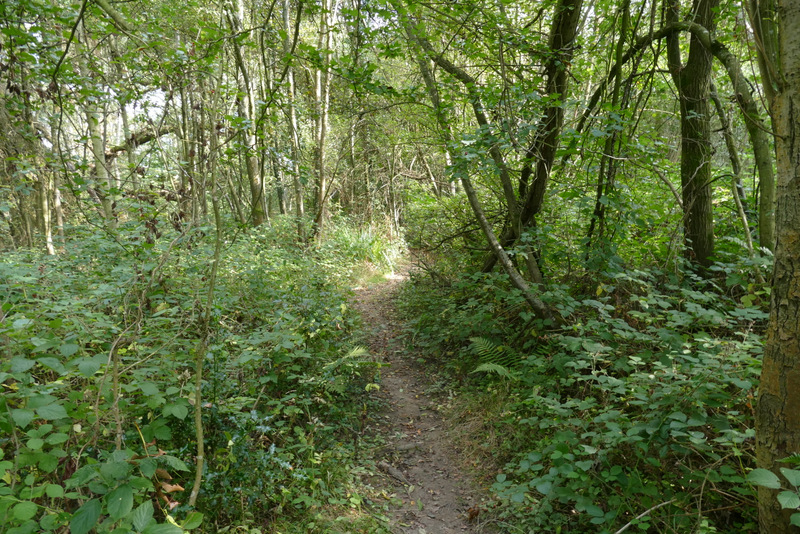
The path through Widdenton Park Wood, after I turned left
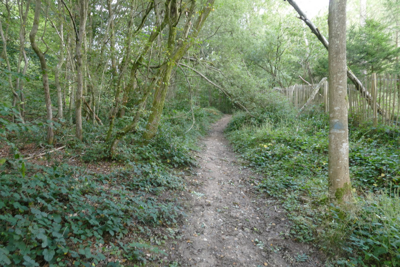
The path through Widdenton Park Wood
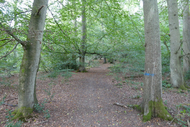
The path through Widdenton Park Wood
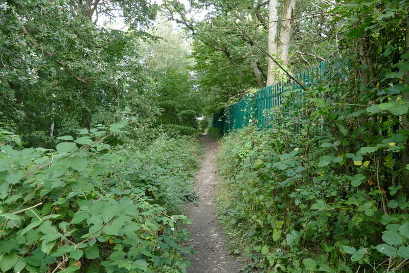
The footpath continuing past the western side of the reservoir
The drive from the reservoir
The path through another part of Widdenton Park Wood
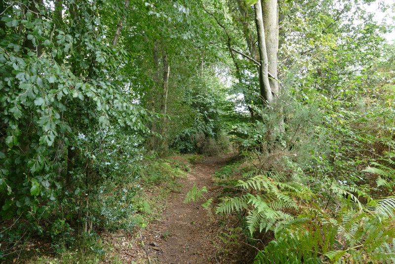
The path through another part of Widdenton Park Wood
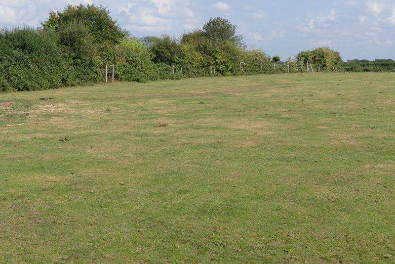
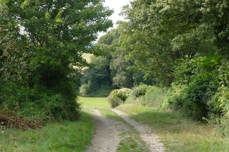
A few yards further along the road, I took a footpath on the left. This ran beside a wood on the right, and then continued alongside a hedge. I then went over a stile (or through a gate, I can't quite remember) in the hedge corner and walked through a paddock - I followed the boundary on my left as it turned left and brought me to another stile (or gate!) by Fryer's Farm
The path on the other side of the M40, after I crossed the motorway bridge and turned left
View looking left
The path continuing through the paddock
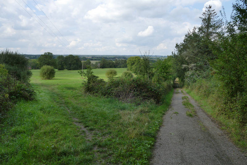
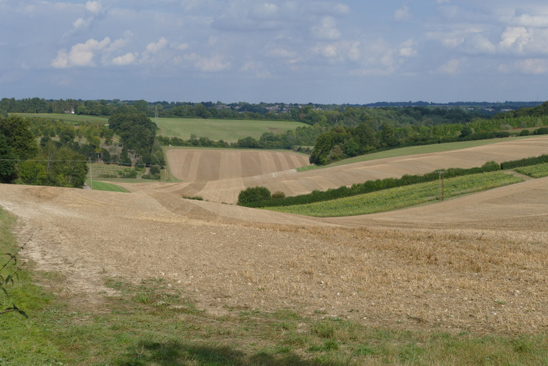
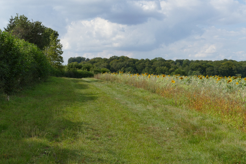
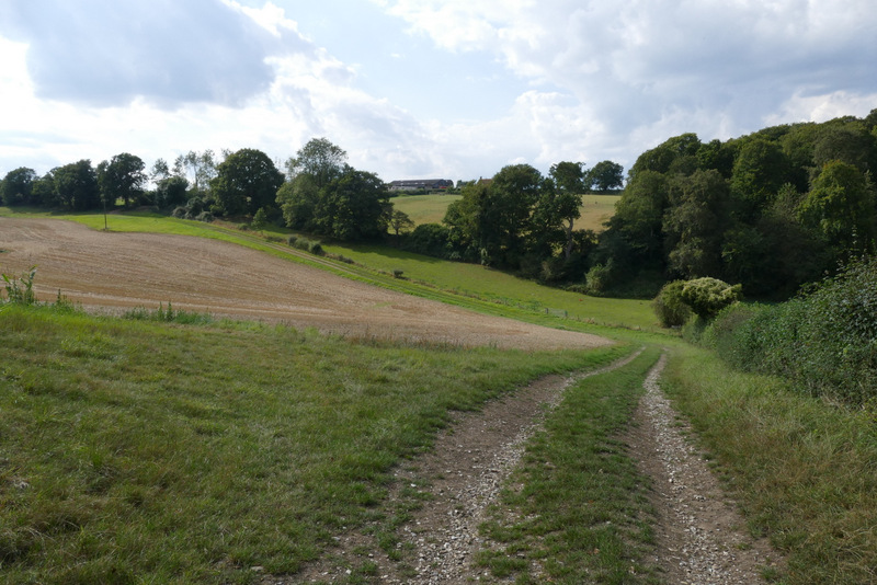
I went straight on along a drive or track, passing Fryer's Farm on my left. I then took a path on the left, starting through an open gateway into a field, following the hedge on my left along a strip of grass beside a belt of sunflowers. At the end of this field I went straight on along a short track between hedges to reach another field. A few yards along the hedge on my right, I went over a stile and turned left along the hedgerow, in a large field of cut grass that dropped down into a valley.
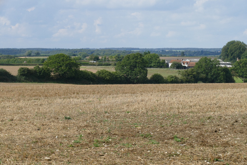
View from near Fryer's Farm - this might look lovely and rural but it's actually very close to the mighty metropolis of High Wycombe, in fact Wycombe Wanderers ground is just behind the nearest trees on the right
The bridleway near Fryer's Farm
The path after I turned left, heading to Great Wood
The path to Great Wood
This view is from just before where the path to Great Wood switches to the right of the hedge
The path as it approaches Great Wood
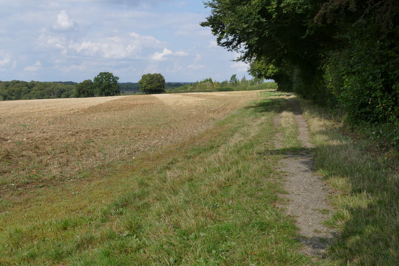
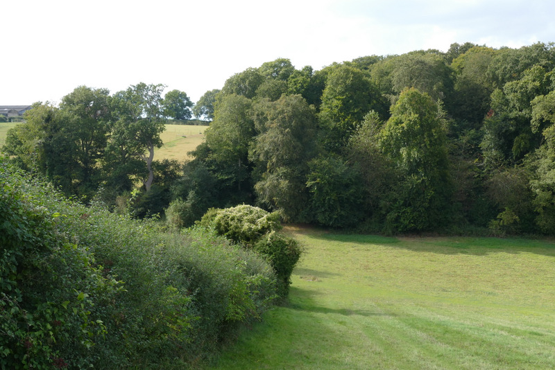
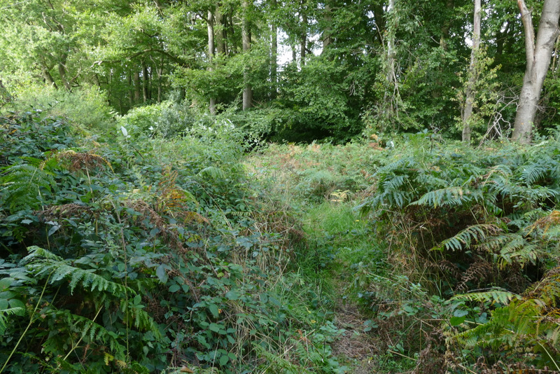
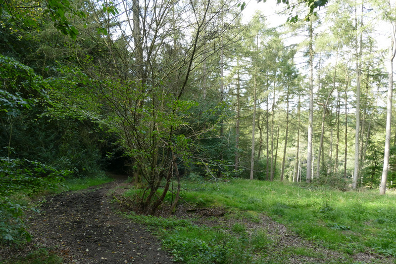
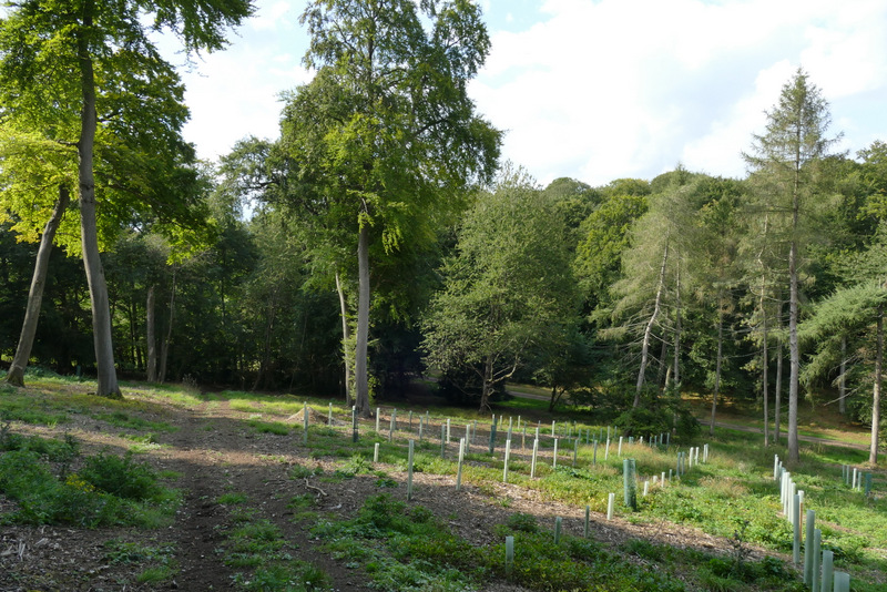
A short way up the other side of the valley, the field ended and I entered a narrow part of Great Wood. The path then continued between the fences of some paddocks before re-entering Great Wood. The path soon started dropping steadily downhill. It crossed a track in a valley bottom, and rose a short distance up the other side until it met another track, where I turned left.
The path continuing between two sections of Great Wood
The path through Great Wood
The path through Great Wood
The path through Great Wood