Pete's Walks - Maidensgrove Common and Rotherfield Peppard (page 6 of 6)
If you are considering walking this route yourself, please see my disclaimer. You may also like to see these notes about the maps and GPX files.
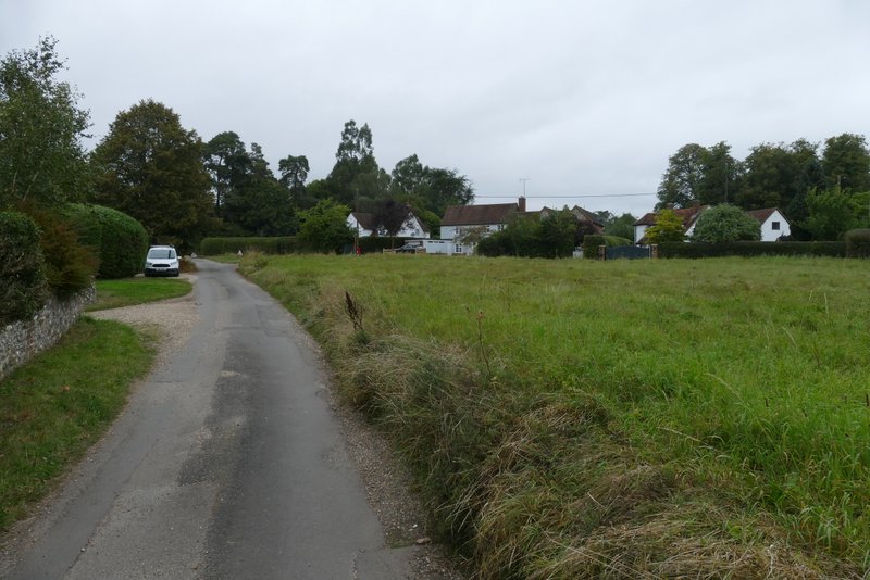
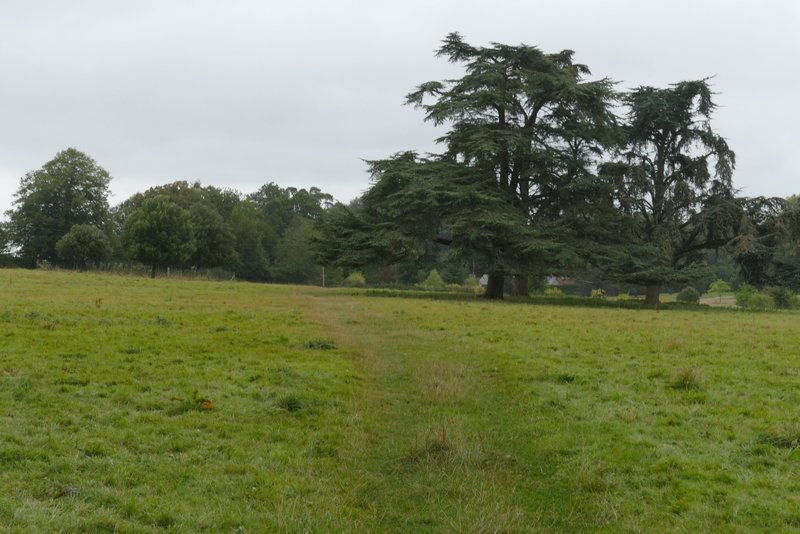
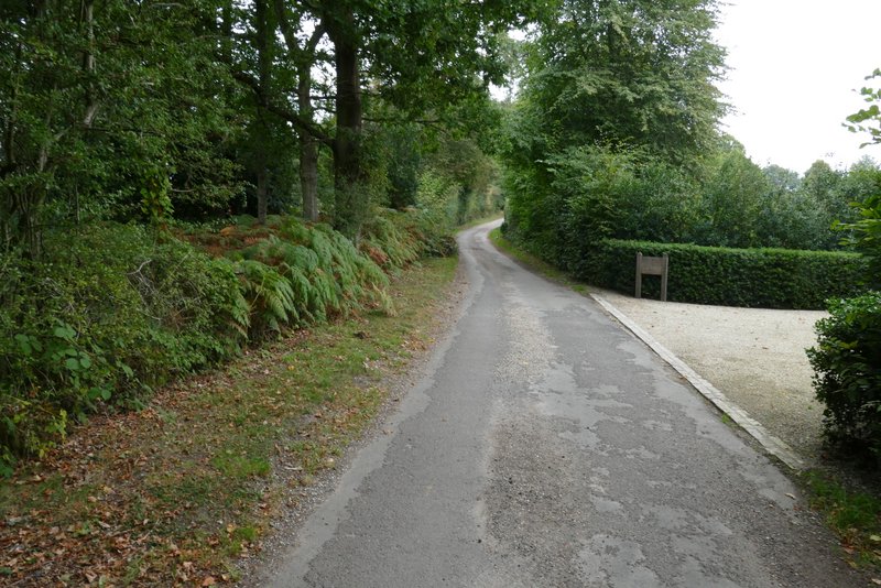
I crossed the road and continued down a lane that very soon brought me to the hamlet of Catslip. I continued along the lane and after a quarter of a mile or so came to the larger settlement of Crocker End, where I went left at a fork in the lane. When this lane came to a T-junction by the village green, I went more or less straight on along a footpath, which was soon crossing a large pasture dotted with mature trees - there was quite a nice view here, looking right.
The lane into Catslip
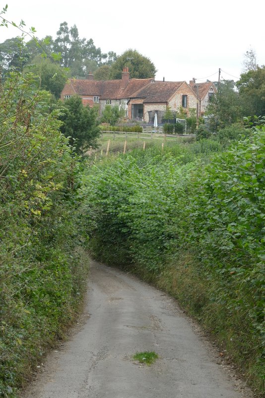
The lane continuing from Catslip to Crocker End
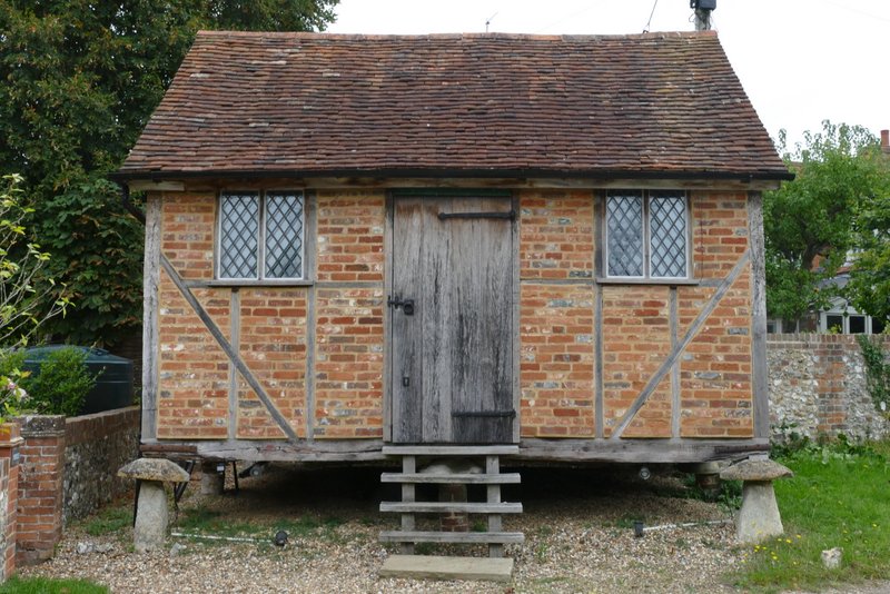
Old building in Crocker End
Crocker End
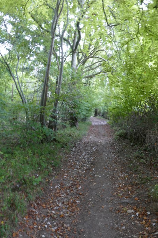
The path from Crocker End
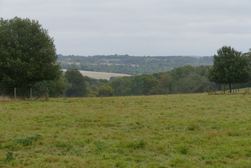
View right from the path from Crocker End
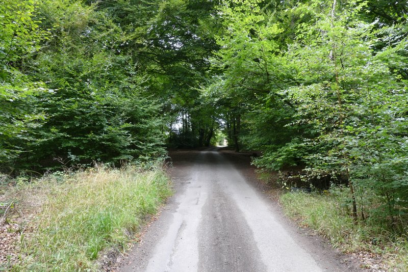
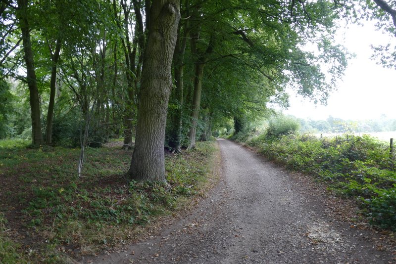
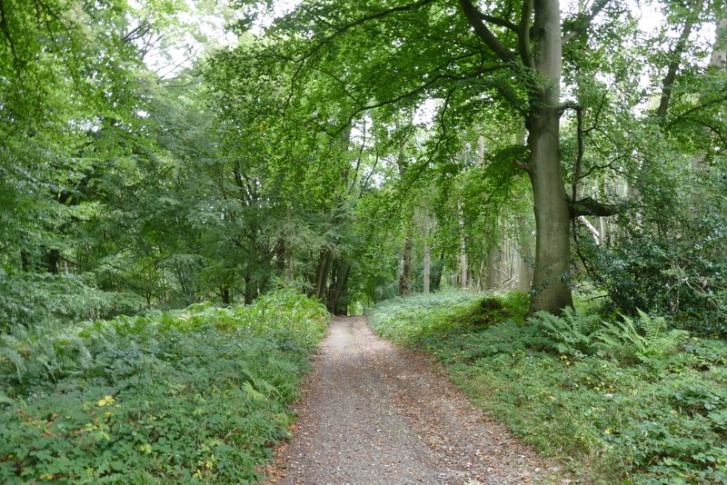
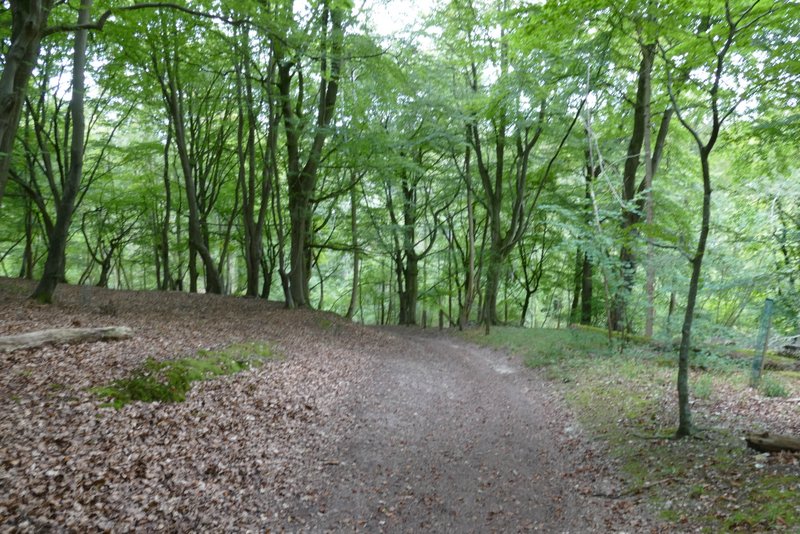
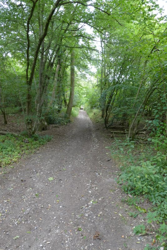
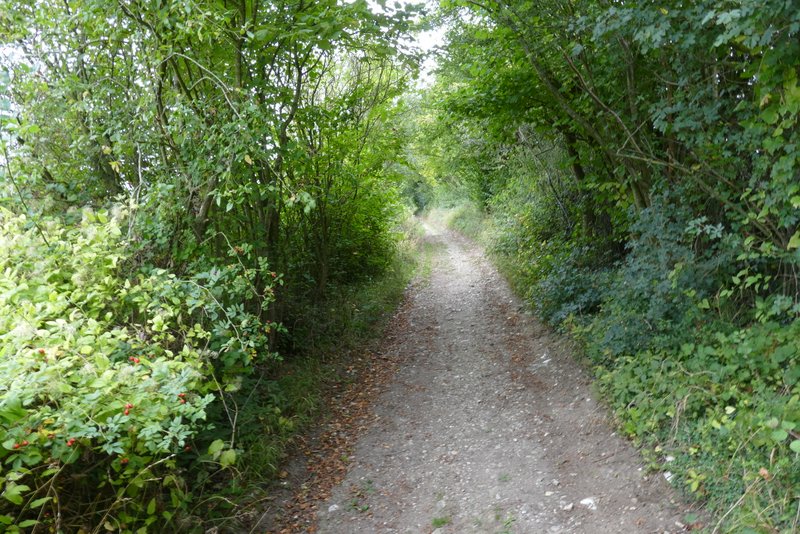
The path took me to a drive or track, where I turned right. At a track junction I went straight on, passing a property on my right. I followed the track for several hundred yards, soon dropping downhill through the woods of the Warburg nature reserve. In a valley bottom I went straight on at a track crossing, continuing through the woods and keeping left when I then came to a fork in the path (the right fork is barely noticeable). The byway I was following now curved left and dropped downhill to a junction in another valley bottom, where again I kept straight on, now on a bridleway along a stony track. There was now a long and quite steep climb as the track left the nature reserve, continuing uphill between hedges. This is always a tough tough way to finish a walk, but it didn't seem quite as steep as I remembered and at least the track brought me back to the corner of the lane across Maidensgrove Common, from where it was only a couple of hundred yards to where my car was parked.
The start of the restricted byway heading to the Warburg nature reserve
The restricted byway about to descend through the Warburg nature reserve
The restricted byway descending through the Warburg nature reserve
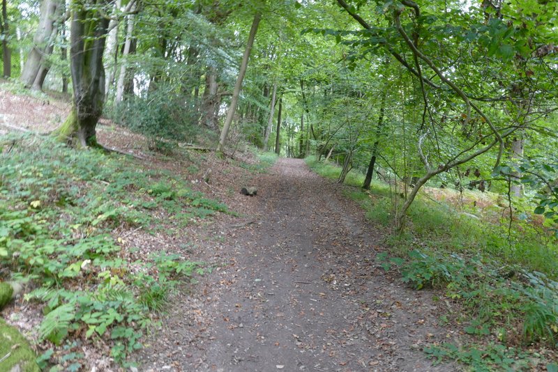
Warburg nature reserve
Warburg nature reserve
The restricted byway going uphill to Maidensgrove Common
The restricted byway going uphill to Maidensgrove Common
The restricted byway going uphill to Maidensgrove Common
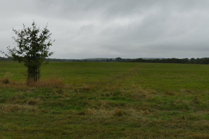
Maidensgrove Common
This was a uniformly grey day, weather-wise - the solitary Chicory flower I photographed was very possibly the only blue I saw throughout the walk, there certainly wasn't any blue in the sky! When I set off from Maidensgrove I thought this might be a walk where I was doing it purely for the sake of the exercise, but that didn't prove to be the case at all. I enjoyed the walk despite the dull conditions, though they did mean the views weren't at their best. When I did this walk in 2016 I was a bit disappointed, partly because the long bridleway from Greys Green seemed to have lost some of its views as the hedges had grown. But this time that section passed quicker than I remembered, and was perfectly pleasant. The walk took me along many paths that I don't walk on any other route, so I'm sure I'll do it again one day.