Pete's Walks - Chenies and Latimer (page 2 of 3)
If you are considering walking this route yourself, please see my disclaimer. You may also like to see these notes about the maps and GPX files.
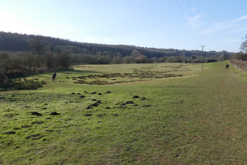
The path then continued a short distance through part of the nature reserve, then ran between wooden fences either side until it reached a lane at Chenies Bottom. I went left here and then took a bridleway on the right that started at Mill Farm. This was soon running between fences again, with the River Chess now just to my left. The bridleway then continued westward for some way, passing through a couple of gates (just before the second gate I passed a brick-built tomb in the hedgerow on my right). Just after the second gate the bridleway forks left (I've only just noticed this on the OS map), but I continued straight on along a footpath through a large irregularly-shaped pasture to reach a road on the edge of Latimer (to my right).
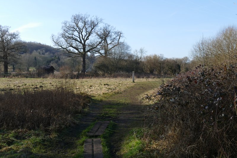
The path heading west along the Chess Valley (this is at the Frogmore Meadows nature reserve)
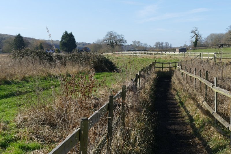
The path heading west along the Chess Valley, approaching Chenies Bottom
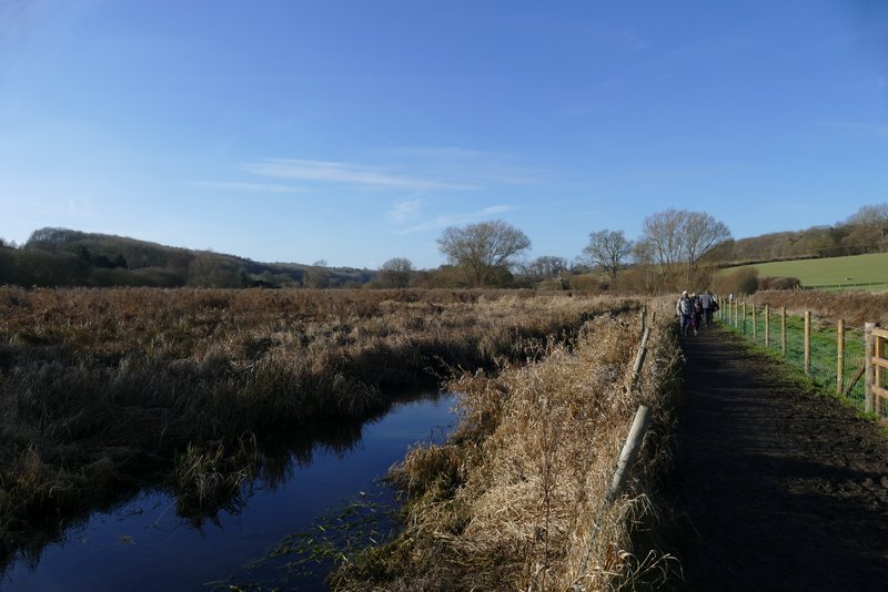
Near the start of the path from Chenies Bottom to Latimer
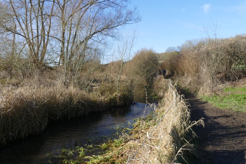
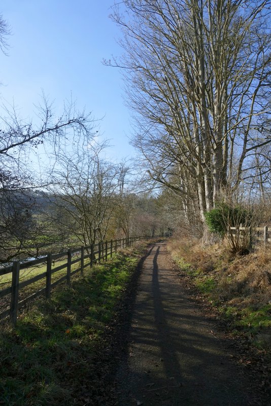
The path from Chenies Bottom to Latimer
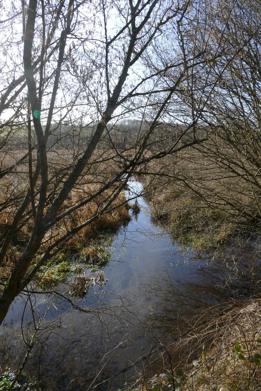
The River Chess

The path from Chenies Bottom to Latimer
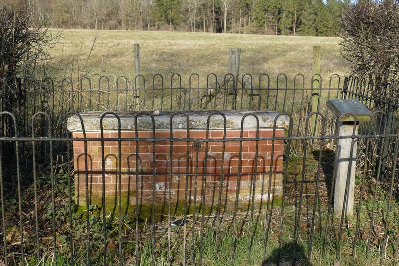
This is the tomb of William Liberty, a brickmaker, who died in 1777. Flaunden church was near here (until the Victorians built a replacement in the village) and frequently flooded. Apparently he was concerned that his bones might get mixed up with other people's and so arranged to be be buried in this slightly higher location.
The path from Chenies Bottom to Latimer, just after the second gate - I went straight on here where the bridleway forks left
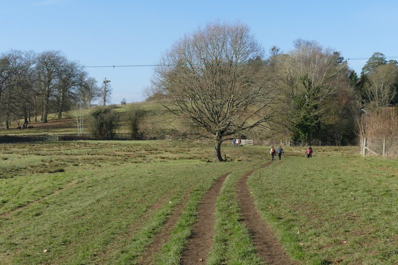
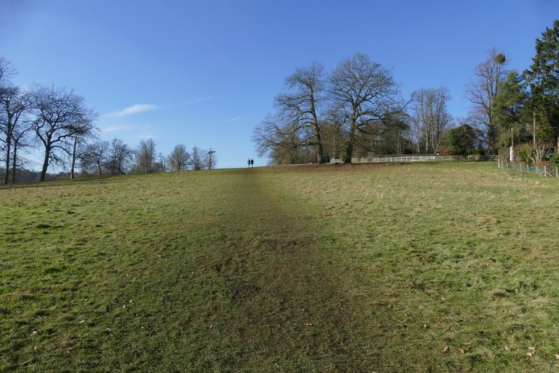
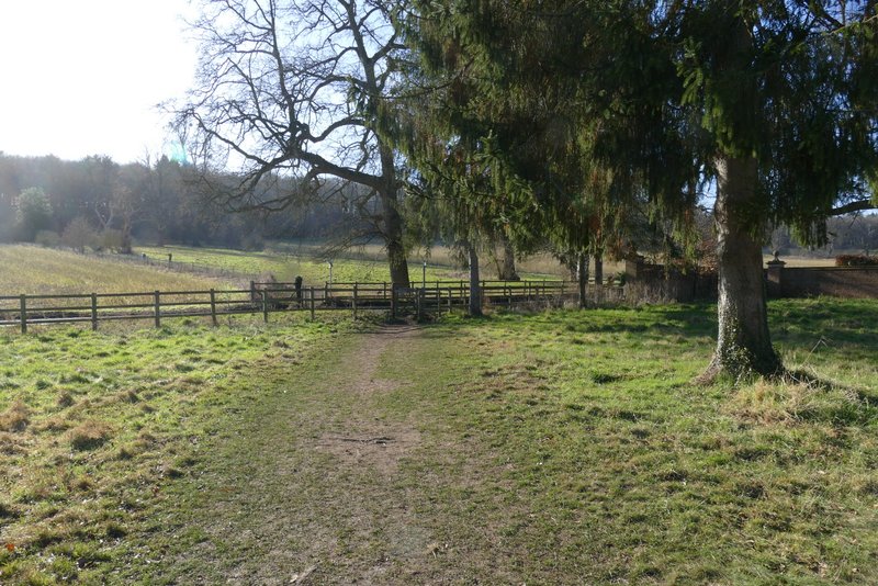
Approaching Latimer
Across the road I took a path rising straight on up a small slope. At the top of the slope I turned left along a track - I'm pretty sure this was the first time I'd walked this part of the track. It dropped back downhill, where I crossed over the River Chess with a weir just off to my right. The footpath then went through a gate and crossed a meadow to reach the road that runs through this part of the Chess Valley.
The path after crossing the road at Latimer
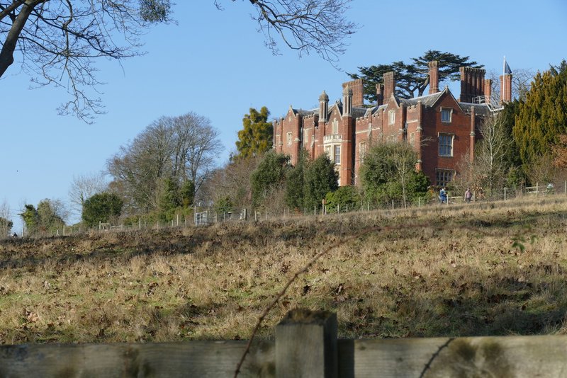
Latimer Place
The track at Latimer, heading down to the river
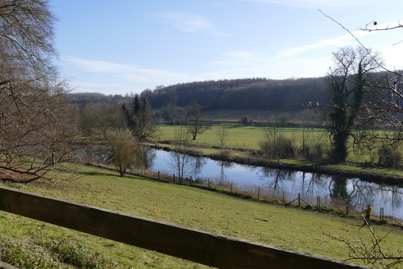
View across the River Chess at Latimer
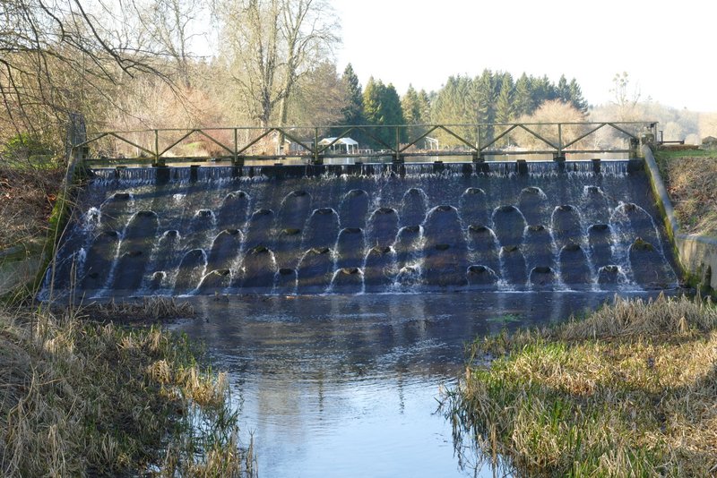
Wier (looking right from the bridge)

The River Chess (looking left from the bridge)
Approaching the road