Pete's Walks- Hawridge, Chartridge End, Great Hivings (page 1 of 4)
If you are considering walking this route yourself, please see my disclaimer. You may also like to see these notes about the maps and GPX files.
I did this circular walk of about 8.7 miles on Saturday, 28th May 2022. It was a route I'd done a couple of times before, but it's 2-3 years since I last walked it.
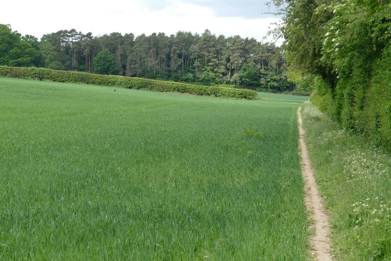
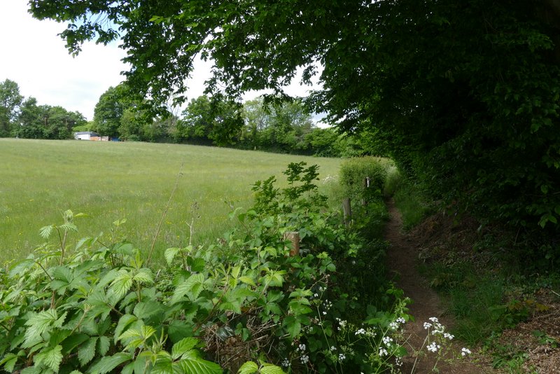
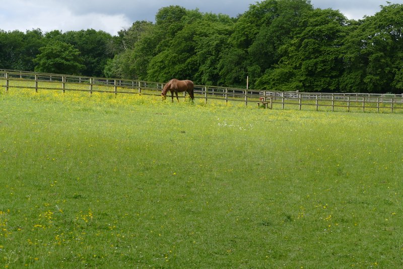
I parked on the edge edge of Hawridge Common, close to the Full Moon pub and the road junction with Ray's Hill, and started walking about 10.40am. I sometimes start this walk by going down Ray's Hill (if conditions are muddy), but today I took a parallel path that starts a little further along the road (towards the cricket pitch). At the bottom of a valley, I took a footpath on the right. This went through a small enclosure and continued along the valley through a couple of empty sheep pastures.There was then a staggered path crossroads (where some new fences had been installed) where I turned right then left - previously the path has just gone straight on here, but checking the OS map the 'stagger' is correct. Beyond the new fences the path carried on along the right edge of a couple of arable fields, with Cholesbury and then Buckland Common on top of the hillside on my right. After going straight on where a path crossed (part of the Chiltern Heritage Trail), the path continued between hedges, then went half-left across a paddock.On entering a second paddock I now followed a fence on my left. Over a stile and through a gate the path continued across a meadow to reach a minor road, almost opposite the start of the drive to Dundridge Manor.
The start of the path from Cholesbury, parallel to Ray's Hill
The path from Cholesbury, parallel to Ray's Hill
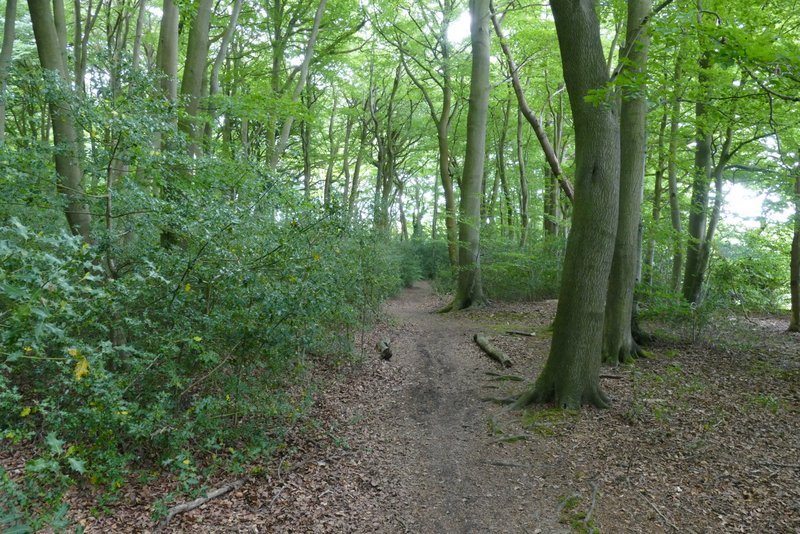
The start of the footpath along the valley immediately south of Cholesbury and Buckland Common
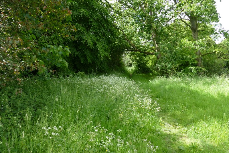
The footpath along the valley immediately south of Cholesbury and Buckland Common
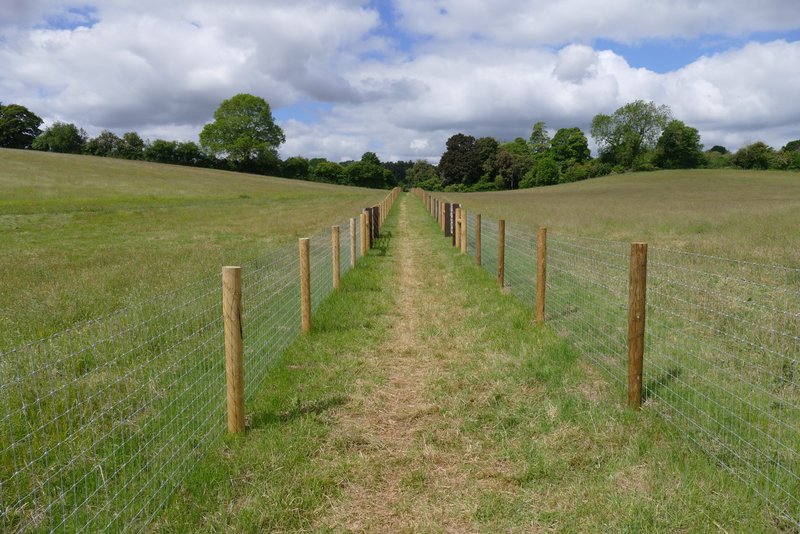
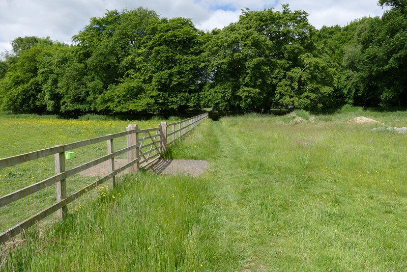
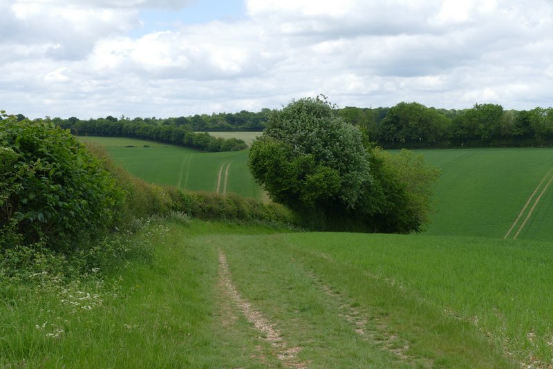
The footpath along the valley immediately south of Cholesbury and Buckland Common (after the staggered path crossing)
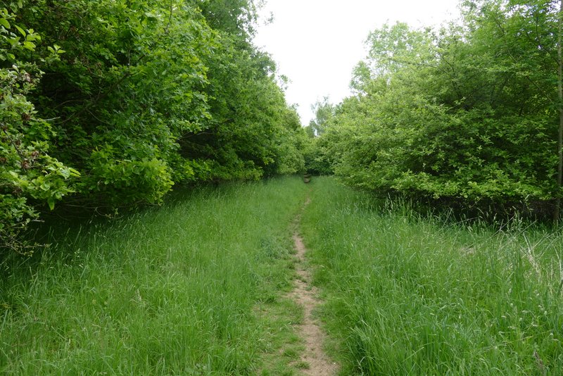
The footpath continuing near Buckland Common
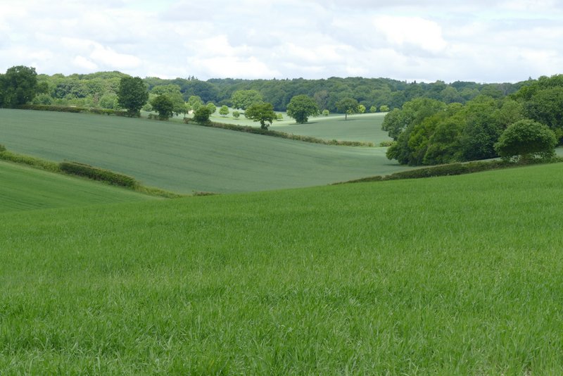
The footpath along the valley immediately south of Cholesbury and Buckland Common
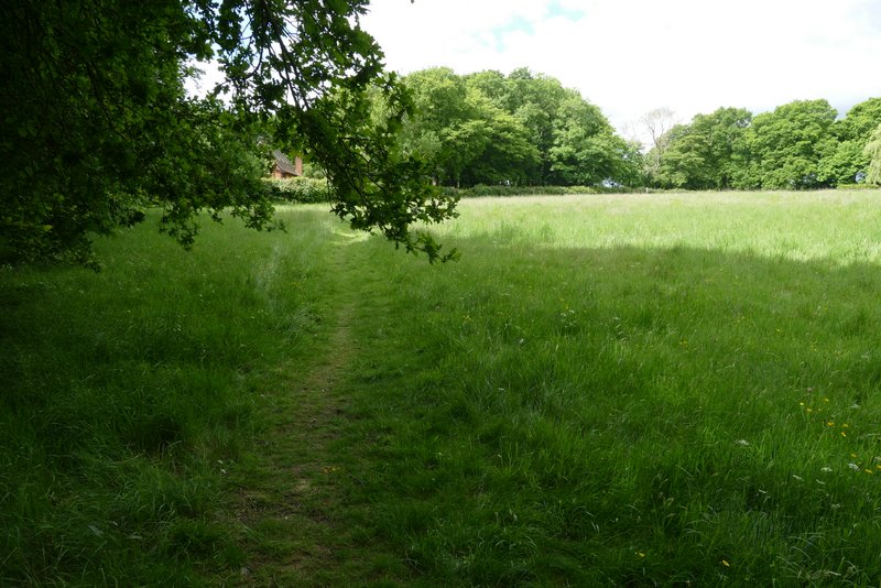
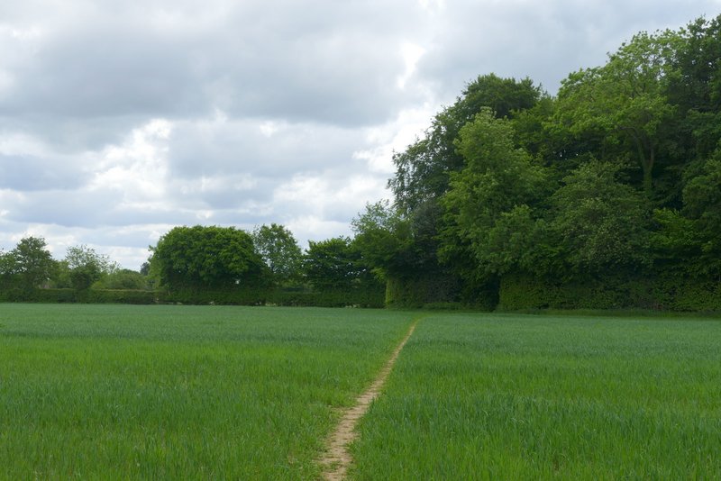
Where the footpath crosses a paddock
The footpath continuing past the paddocks
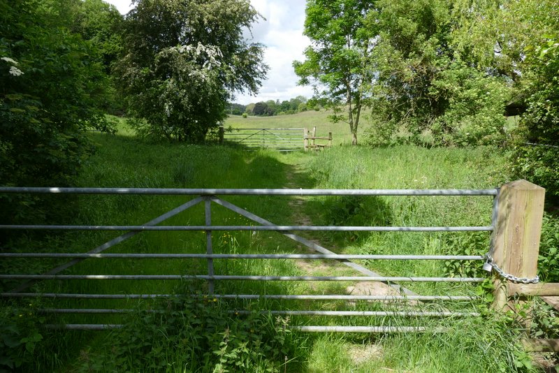
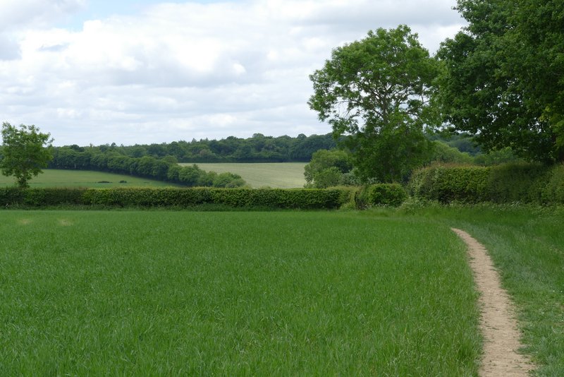
The last part of the footpath, approaching the road near Dundridge Manor
I went a few yards down the drive, then took a footpath starting on the left. I went straight on when another path went right, soon reaching a wood called Widow Croft. I kept right at a path fork just inside the wood, and carried on through the wood where there was initially much Holly. On the other side of the wood the path stayed heading southwest, now running along a broad strip of mown grass between young plantations either side (young enough not to be shown on my OS map). The path then crossed a corn field to a corner of Newsets Wood before continuing on through the wood.
The start of the path from the drive to Dundridge Manor
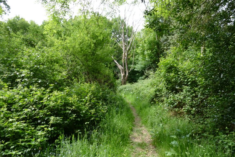
Approaching Widow Croft
Widow Croft
The new plantation after Widow Croft (not shown on the OS map)
Approaching Newsets Wood
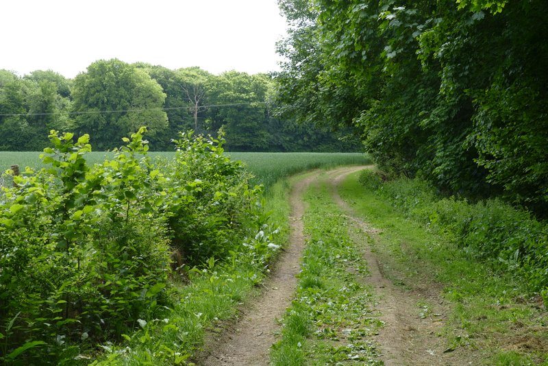
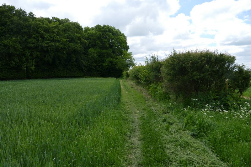
On the far side of Newsets Wood I turned right along a bridleway. This was initially alongside a hedge on my right, before switching to the other side of the hedge in the next field corner. The bridleway dropped down into a valley and then switched back to the left of the hedgerow as it started up the opposite hillside. The bridleway then dropped down again into the next valley where it ended when it met Arrewig Lane. Here I went straight on, following the lane uphill.
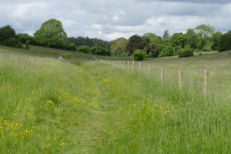
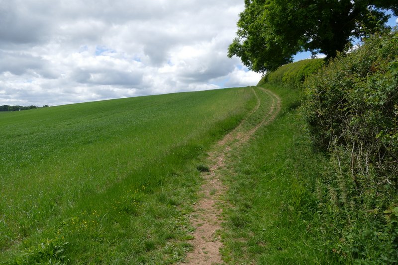
The bridleway going southwest from Newsets Wood
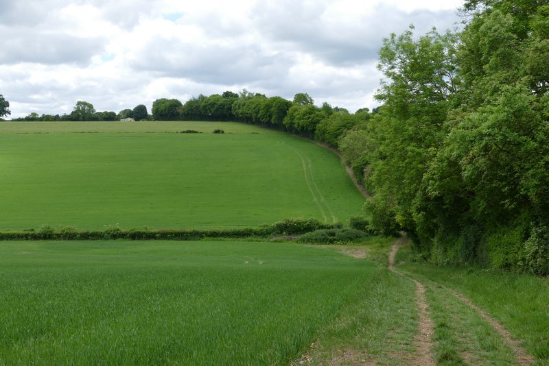
The bridleway after it switches to the right of the hedgerow
Looking right from the bridleway, as it descends into the first valley
The bridleway going up the far side of the first valley
The bridleway descending into the second valley, where it ends (Arrewig Lane continues up the opposite hillside, in the trees)
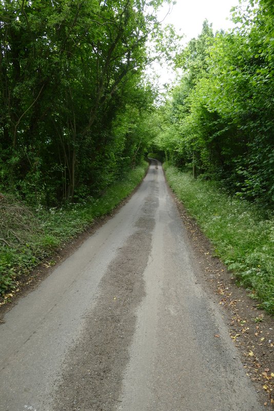
Arrewig Lane (the name comes from the Saxon for 'way to the fields', apparently)