Pete's Walks - Wigginton and Drayton Wood (page 1 of 2)
If you are considering walking this route yourself, please see my disclaimer. You may also like to see these notes about the maps and GPX files.
Google map of the walkDownload GPX file of the walk
I did this roughly 6 mile circular walk on Sunday, 19th June 2022. It was a repeat of a short and fairly local walk that I do most years.
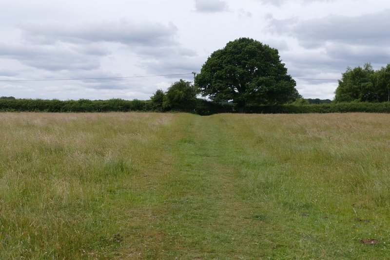
The car park by a playing field in Wigginton was full when I arrived, so I parked on the road nearby. I started walking about 11.40am and headed south along the road out of the village. A little past the last houses I took a footpath on the right. This crossed a long narrow cattle pasture, beyond which the path split in two - I went half-left, crossing a large field. The path then cut through a corner of a field, then continued in the same southerly direction across a meadow to reach Roundhill Wood.
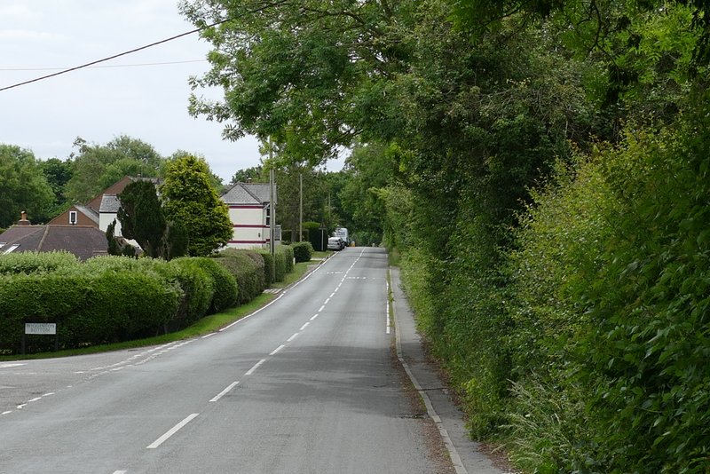
The road going south through Wigginton
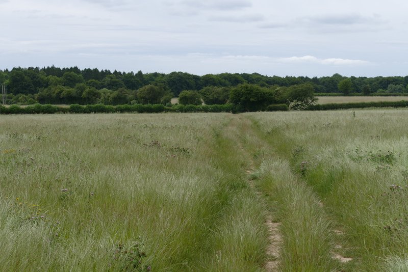
The path going west across a long thin cattle pasture
The path going south to Roundhill Wood
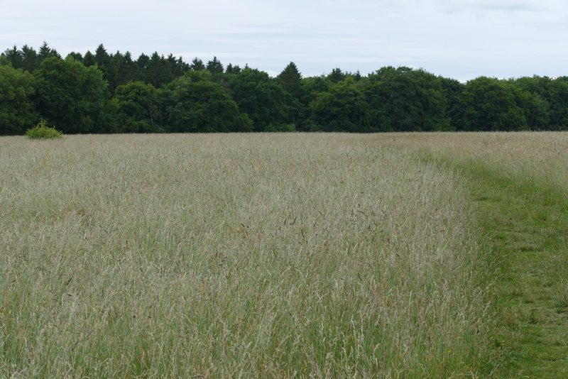
The path going south to Roundhill Wood
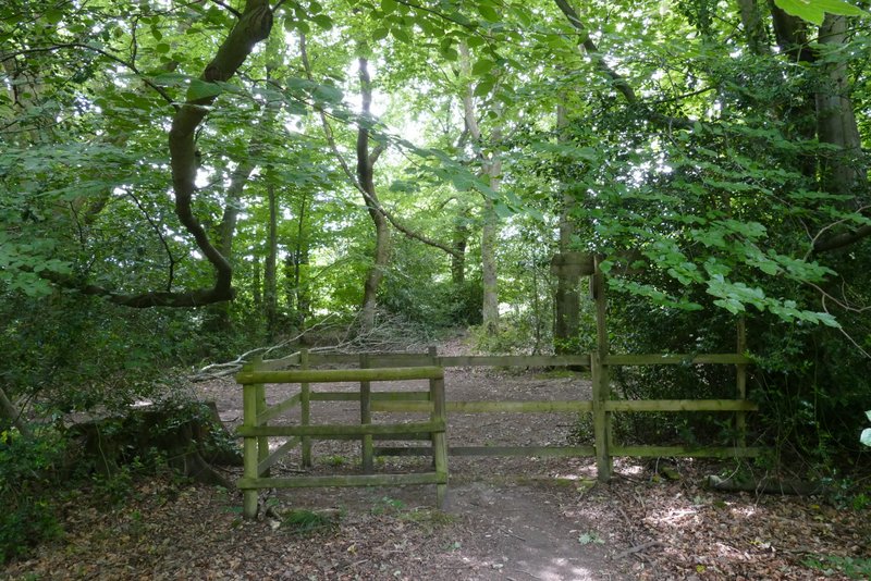
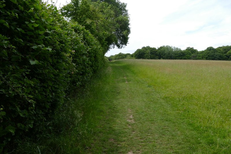
I turned right and followed a path just inside the edge of the wood. The map shows that there was Initially a parallel right of way just outside the wood, but beyond a kissing gate the paths merged and veered slightly left away from the edge of the wood. Across I lane, I entered another wood called High Scrubs. The path maintained its generally southwest direction as it crossed a byway near the edge of the wood, then followed a left-hand hedge through a meadow to reach Shire Lane.
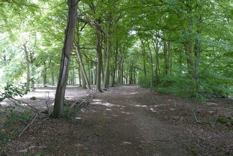
The path just inside the edge of Roundhill Wood, going southwest
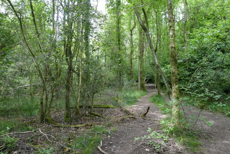
The footpath continuing through Roundhill Wood
The footpath continuing through Roundhill Wood
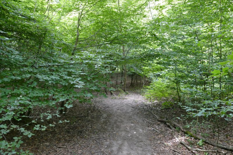
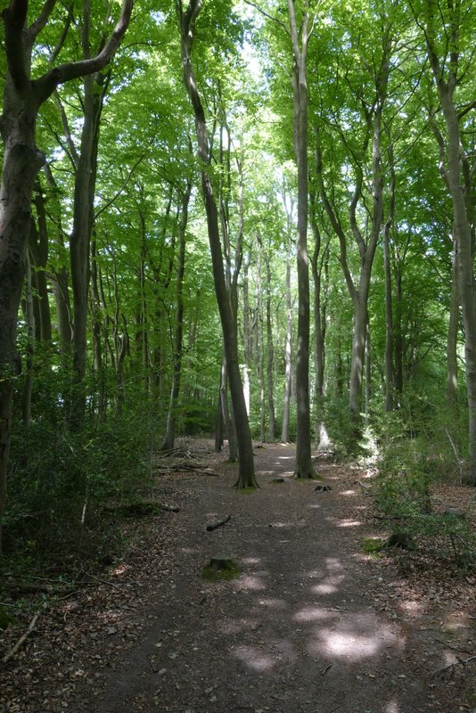
The footpath through High Scrubs
The footpath through High Scrubs
The path continuing to Shire Lane
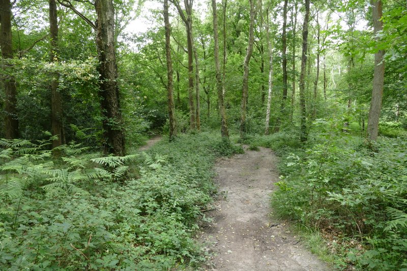
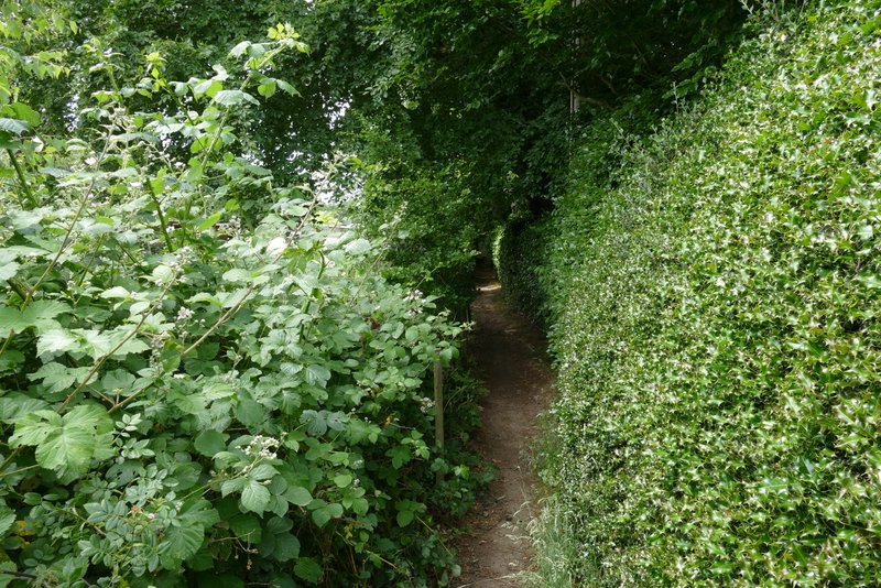
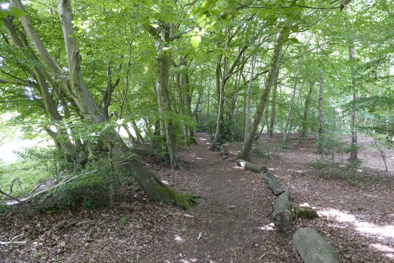
I then went a few yards left along Shire Lane (the old boundary between Bucks and Herts) then took a path on the opposite side between some stables and a property name 'Montana'. I soon reached part of Drayton Wood, with paddocks on my left. At a path crossroads I went straight on. I'm not convinced the paths hereabouts exactly match those shown on the OS map, but I just followed the path as it then turned right in a corner of the wood. The path continued just inside an edge of the wood, with fields nearby on my left, for some distance, until it ended at a bridleway.
The path beside the property named Montana
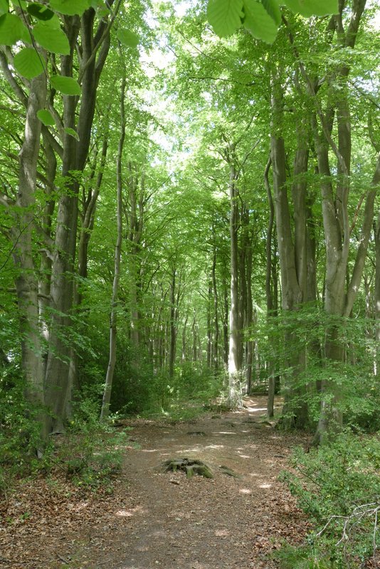
The path along the south-eastern edge of Drayton Wood
The path along the south-western edge of Drayton Wood
The path along the south-western edge of Drayton Wood
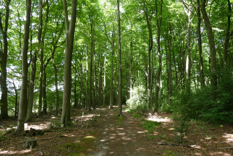
The path along the south-western edge of Drayton Wood
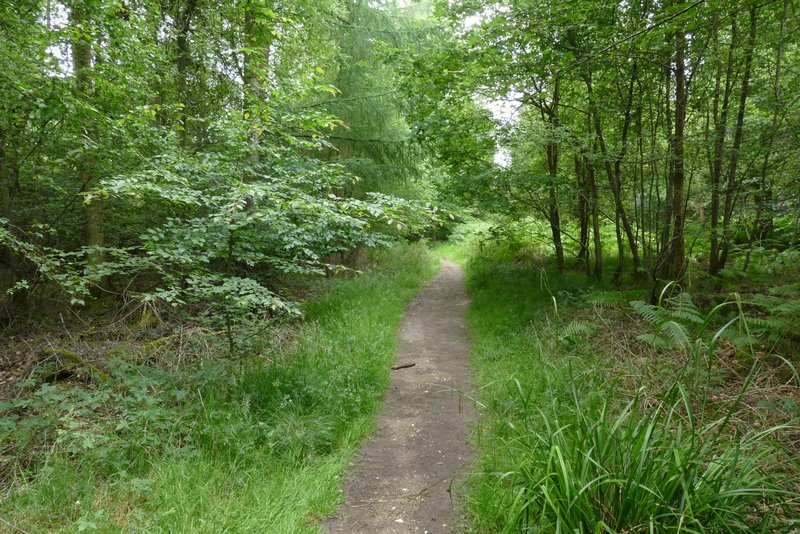
I turned left along the bridleway for a short distance, before taking a path on the right that started at a stile and a fingerpost (the OS map shows the path starting where the bridleway becomes Little Twye Road but it starts before then). After several hundred yards I went straight on where a path, part of the Chiltern Way, came in from the left, and again when a second path came in from the left. The path then left the wood, running between paddock fences a short way to return to Shire Lane.
The bridleway that becomes Little Twye Road
The path going northwest through Drayton Wood
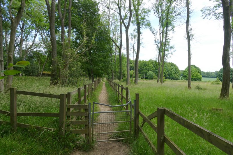
The path continuing from Drayton Wood to Shire Lane