Pete's Walks - Cowleaze Wood, Stokenchurch, Shirburn Hill (page 4 of 5)
If you are considering walking this route yourself, please see my disclaimer. You may also like to see these notes about the maps and GPX files.
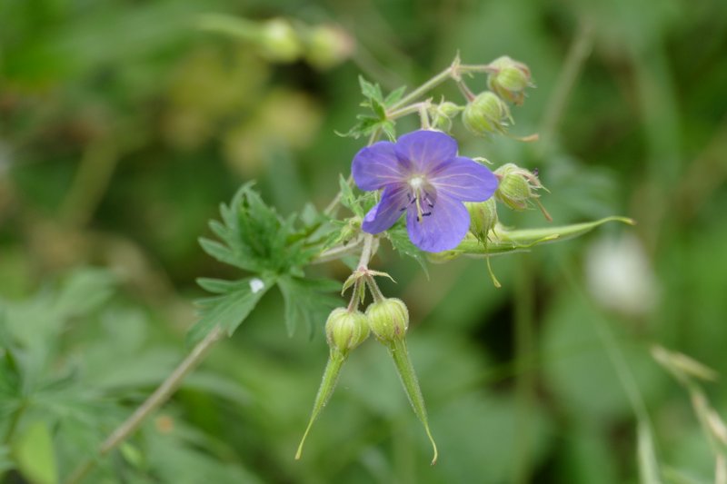
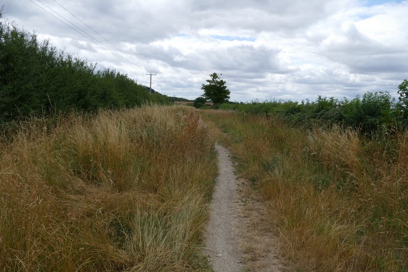
On eventually reaching a T-junction at the end of the path, I turned left along a section of the Ridgeway national trail, which here was a broad chalky track. I soon spotted some Meadow Cranesbill growing beside the track. After a few hundred yards the track passed under the M40 motorway, and a little further on reached a lane leading to Hill Farm, to my left. I could have shortened the walk (by about 2.7 miles) by going left and either taking a path on the left by Hill Farm (and turning right at its end) or just taking the continuation of the lane, both of which would have taken me back to Cowleaze Wood. But I was feeling good at this point and stuck to my planned route. After just over another quarter of a mile along the Ridgeway another path went off to the left (at a kissing-gate in the hedgerow), the last option where I could have shortened the walk (again by about 2.7 miles) - this would be my preferred option if I did want to shorten the route.
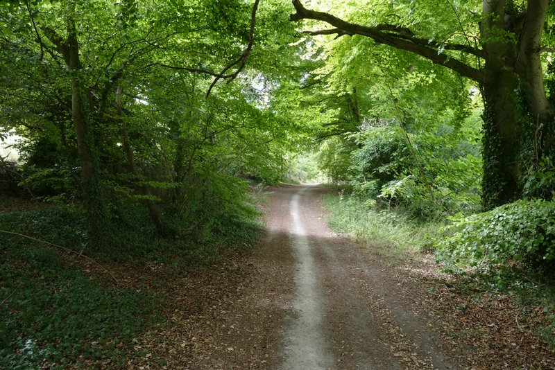
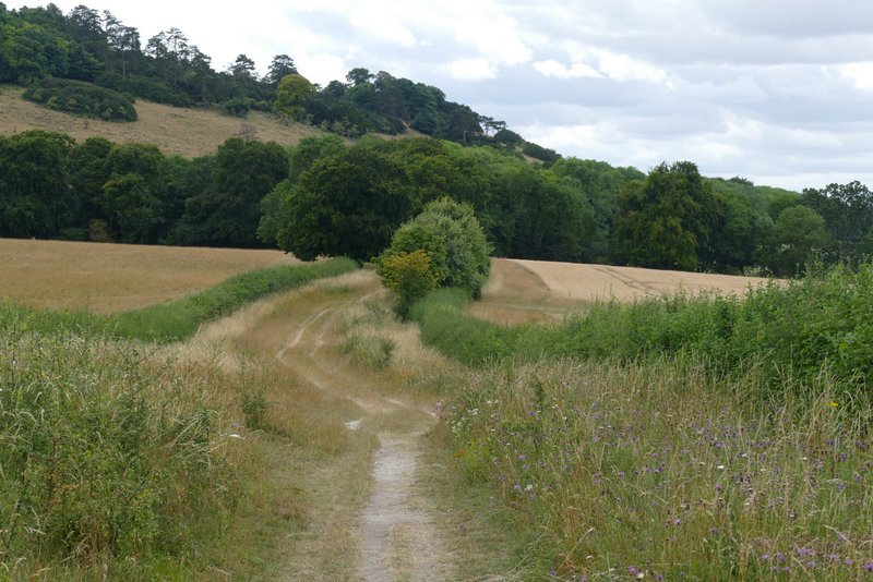
The Ridgeway, after I turned left

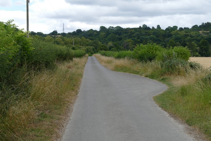
The Ridgeway
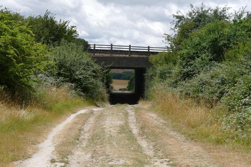
The Ridgeway, where it goes under the M40
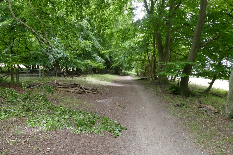
The Ridgeway, where it crosses the lane to Hill Farm (I could have shortened the walk here, by turning left and taking either of two routes back to Cowleaze Wood)
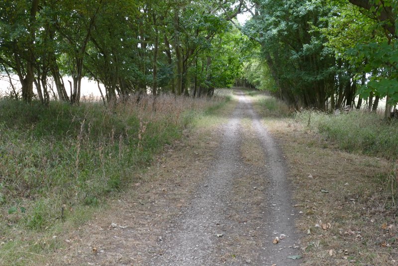
The Ridgeway
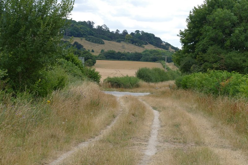
I continued along the Ridgeway, which now approached the foot of Shirburn Hill. The track ran through a narrow strip of trees as it passed the hill, then ran between hedgerows again as it passed several fields on either side. Eventually I reached a drive that crossed the track, where I turned left, following the drive towards Pyrton Hill House.
The Ridgeway, approaching Shirburn Hill
The Ridgeway, passing the foot of Shirburn Hill

The Ridgeway, passing the foot of Shirburn Hill

The Ridgeway, continuing from Shirburn Hill
The Ridgeway, continuing from Shirburn Hill
The drive to Pyrton Hill House