Pete's Walks - Whitchurch Hill, College Wood, Mapledurham (page 3 of 5)
If you are considering walking this route yourself, please see my disclaimer. You may also like to see these notes about the maps and GPX files.
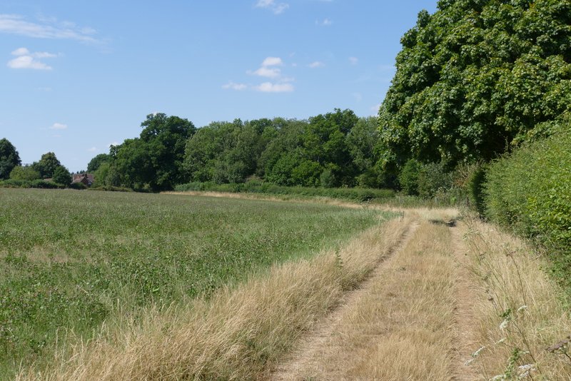
Across the road I continued southeast along another bridleway, now in Hawhill Wood. After a while there where fields close by on my left. At the end of the fields, where Little College Wood started on that side, I turned sharp right onto a crossing footpath. I was now in a wood called Holme Copse. I soon cam to a fork in the path where I took the left fork. After a few hundred yards the path left the wood (apart from road crossings, I'd been walking through woods for about 4 miles!) and continued in the same direction across an empty (and very dry and brown) cattle pasture, aiming for a gate. I had to climb over the gate, the path continuing some way alongside a hedge on my right, before going through a gate and turning left along the drive from Haw Farm.
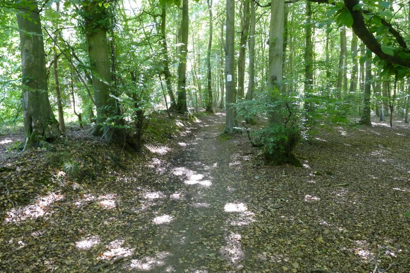
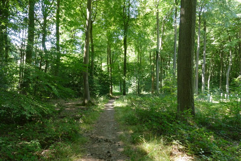
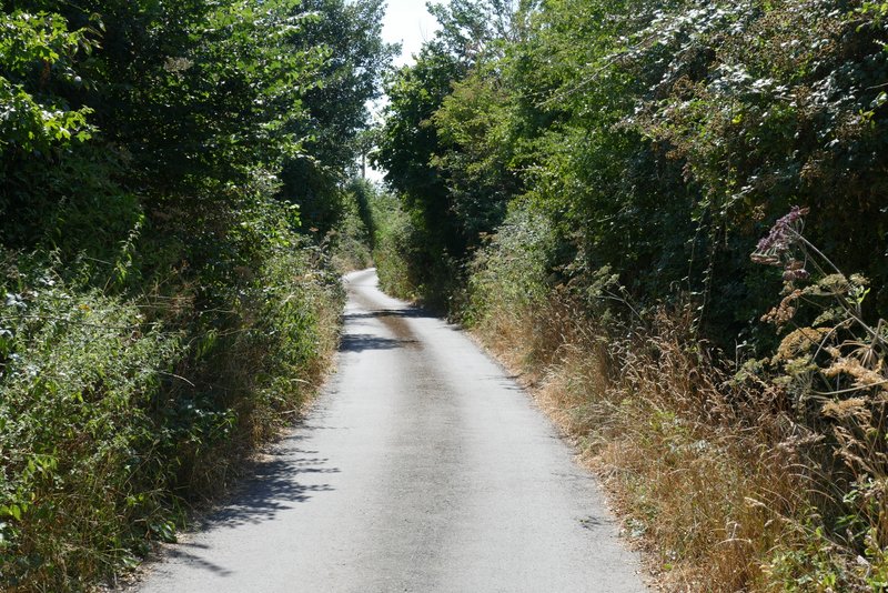
The bridleway after crossing Deadman's Lane, going through Hawhill Wood
The bridleway through Hawhill Wood
The bridleway through Hawhill Wood
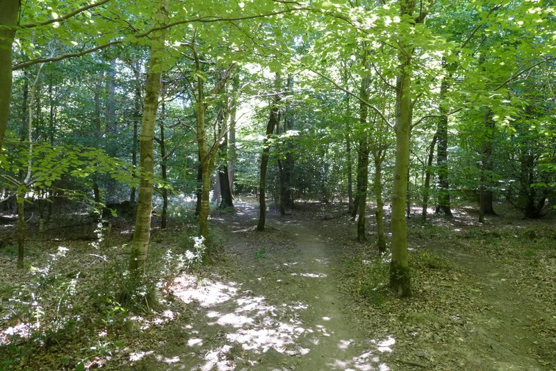
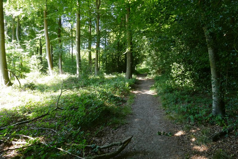
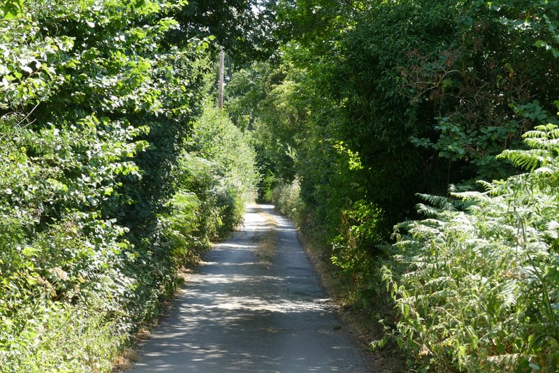
The footpath after I turned right at a path crossroads
The path after I forked left in Holme Copse
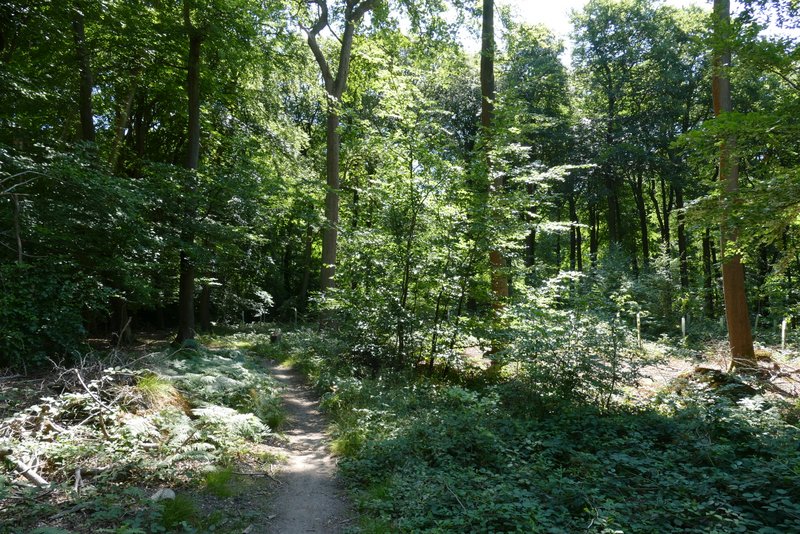
The path continuing through Holme Copse
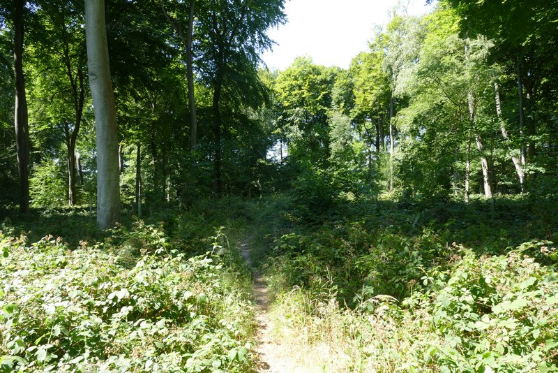
The path continuing through Holme Copse
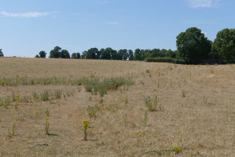
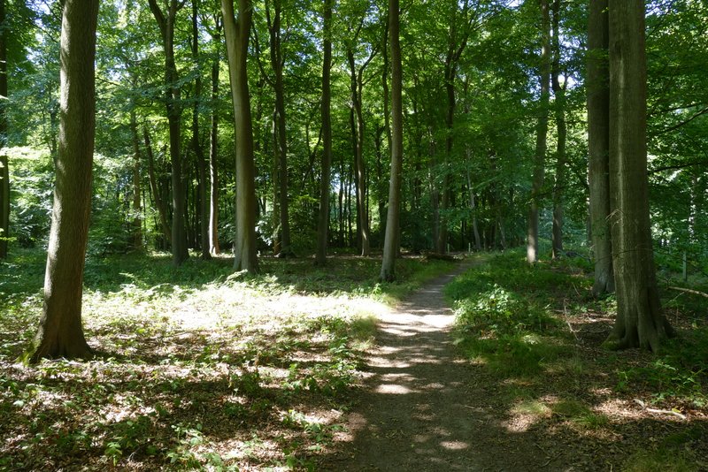
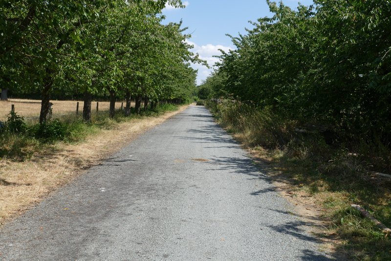
The path continuing from Holme Copse to Haw Farm
The path continuing past Haw Farm
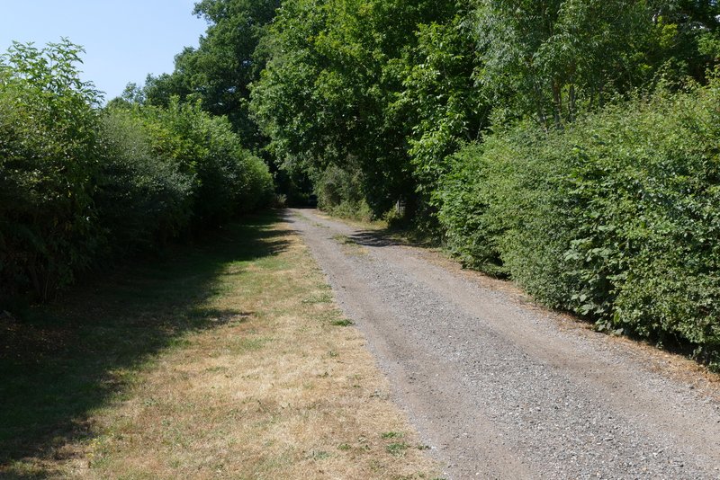
The path continuing along the drive from Haw Farm
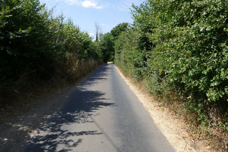
At the end of the drive, I turned left along Deadman's Lane (here it really is a lane rather than a minor road) and soon came to crossroads with a minor road. I went straight on down the lane opposite, just for the sake of treading new ground (the only time I'd been here before I'd taken a byway going half-left from the crossroads). After just over a quarter of a mile, I turned left down a Restricted Byway called Bunce's Lane, which I followed for about half a mile. At it's end, I turned right along the drive through the hamlet of Collins End.
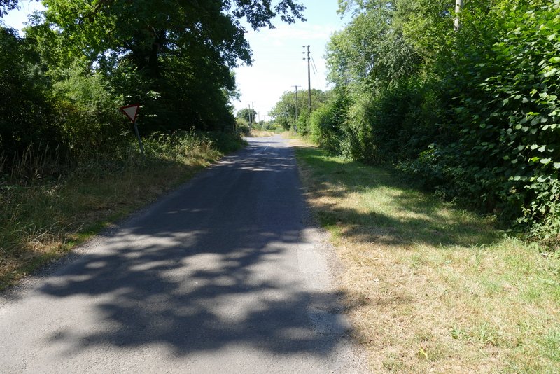
Approaching the crossroads
The lane continuing on the other side of the crossroads
Bunce's Lane (actually a restricted byway)
Bunce's Lane
Bunce's Lane
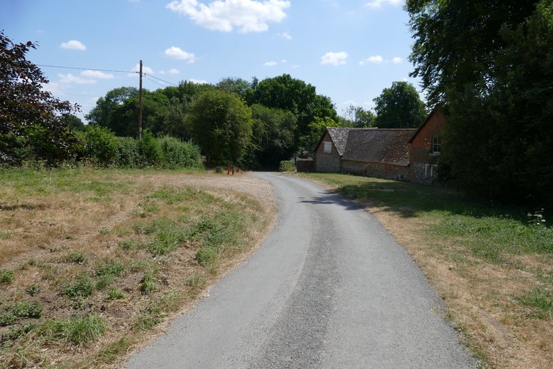
Collins End