Pete's Walks- Bradenham and Studley Green (page 1 of 4)
If you are considering walking this route yourself, please see my disclaimer. You may also like to see these notes about the maps and GPX files.
Google map of the walkDownload GPX file of the walk
I did this circular walk of about 8 miles on Sunday, 28th August 2022. It was a repeat of a walk I did in November 2015.
I started walking about noon, from the car park at Bradenham (Grid Reference SU 827970). I followed the track from the car park, with the large village green on my right, and then turned left along Old Rectory Lane at the end. The end of the lane was blocked to traffic, but I could walk straight on to reach the A4010 main road. After going a short distance to the left, as far as a '50' sign, I went down the drive to Averingdown Farm on the other side of the road. The concrete drive soon went under a railway bridge, then continued uphill to the farm.
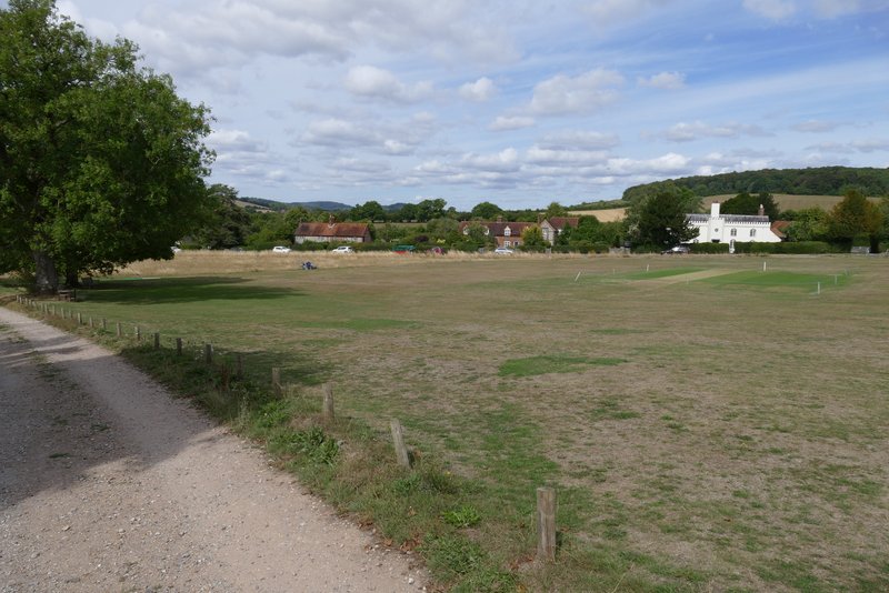
The green at Bradenham
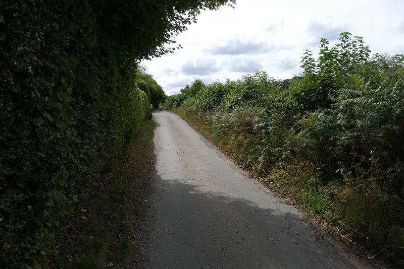
Old Rectory Lane
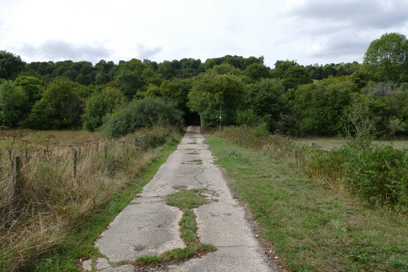
The drive to Averingdown Farm
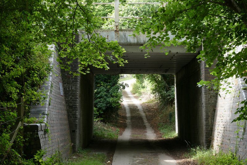
The drive to Averingdown Farm passing under the railway bridge
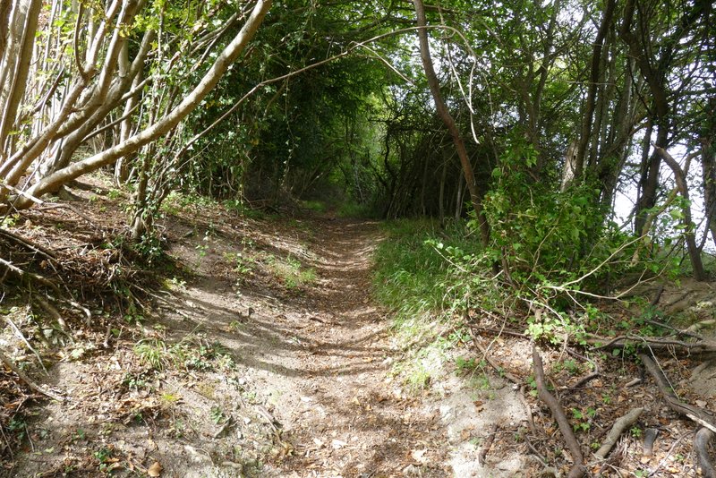
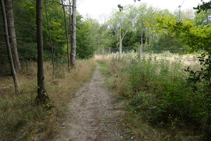
Near the end of the drive, a path went off to the right. It soon turned left, rising uphill beside a wire fence on the right - there were good views along the valley and back to Bradenham from here. Further on the path entered Hearnton Wood, continuing to rise for a while before levelling out. At one point I crossed a footpath running north-south through the wood (I've often walked it, from West Wycombe Hill in the south towards Slough Hill). Further on I crossed a track (not marked on the OS map) and finally went down a few wooden steps to reach a gate on the edge of the wood.
The path continuing from Averingdown Farm
View right from the path continuing from Averingdown Farm
The path continuing from Averingdown Farm
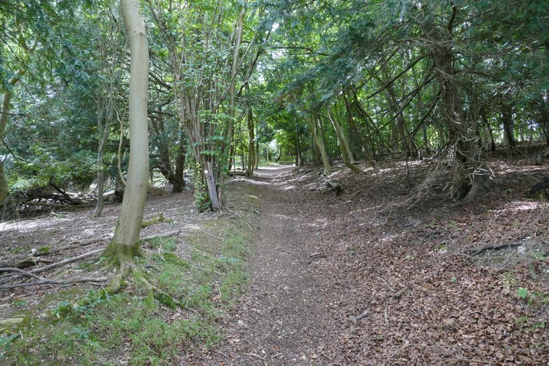
The path continuing through Hearnton Wood
The path continuing through Hearnton Wood (approaching where a bridleway crosses)
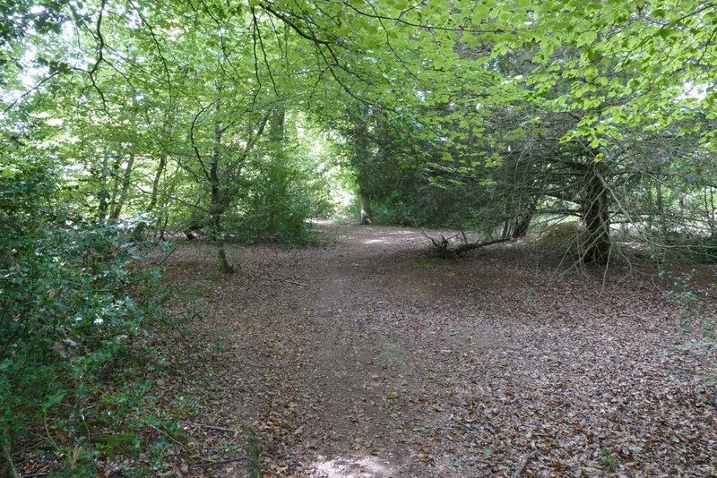
The path continuing through Hearnton Wood
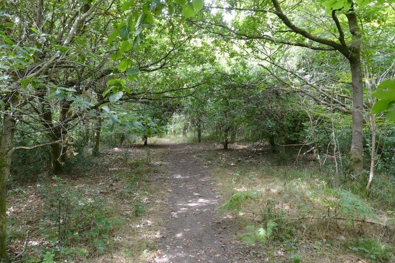
The path continuing through Hearnton Wood
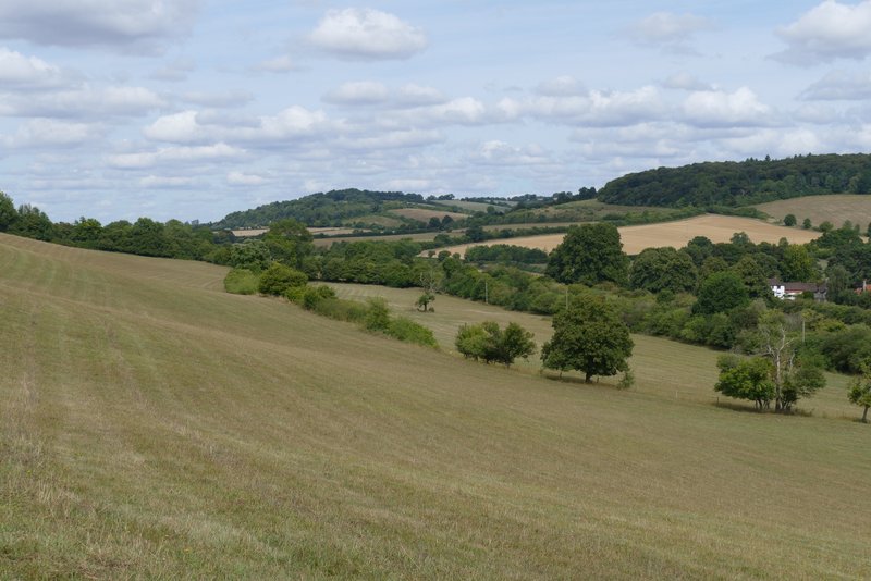
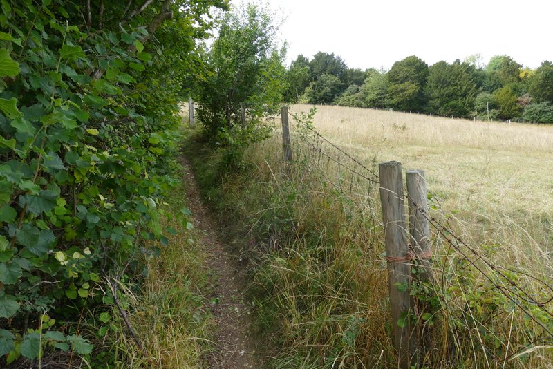
The path now went half-left, descending a steep scrub-covered slope - this was quite painful on my dodgy knees, but the fine views made up for it. I was in the Buttler's Hangings nature reserve and SSI, according to a sign I came across at the next gate. The path then continued downhill between hedgerows to reach Slough Lane, and then crossed a stubble field to reach a minor road (marked Loxboro Hill on the OS map), which on my right ascended the end of Bledlow Ridge (which I would cross on the return section of the walk). I carried straight on across another stubble field, the path then going slightly right in the next somewhat overgrown field or enclosure to reach the lane through Chorley (I would re-cross it later on between Radnage and Bledlow Ridge, where it is called Bottom Road).
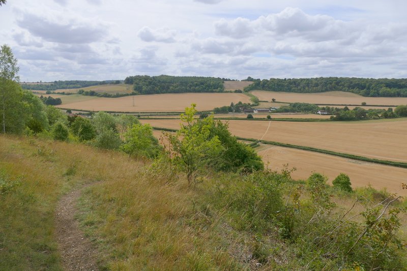
Looking ahead just after leaving Hearnton Wood (this slope is Buttler's Hangings, a nature reserve and a Site of Special Scientific Interest)
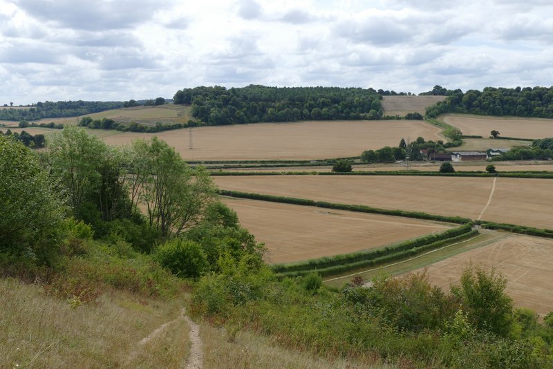
Looking ahead from a little further along the path. You can see much of the next section of the route, across the fields to Chorley, then between hedgerows rising up to the left edge of the wood on the right of the skyline.
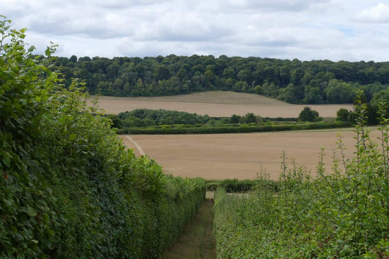
The path continuing from the nature reserve, descending to Slough Lane
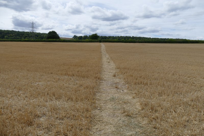
The path between Slough Lane and Loxboro Hill
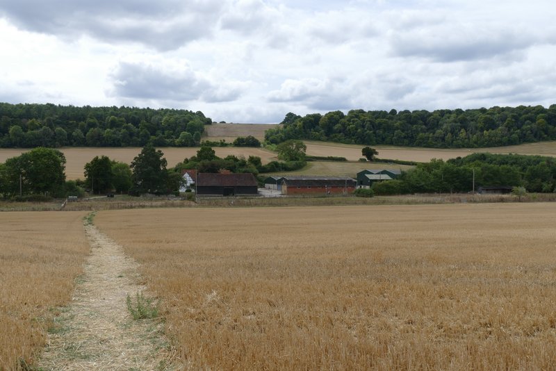
The path from Loxboro Hill to Chorley