Pete's Walks - Whiteleaf Hill and Loosley Row (page 1 of 3)
If you are considering walking this route yourself, please see my disclaimer. You may also like to see these notes about the maps and GPX files.
Google map of the walkDownload GPX file of the walk
I did this walk of about 7 miles on Saturday, 8th October, 2022. It was a route that I first walked in March 2012 (on that occasion after finishing the walk I continued with a 6-mile walk from Whiteleaf Hill to Little Hampden and back so that in all I walked 13 miles), and then repeated in January 2015.
It was about 11.15am as I set off from the car park on Whiteleaf Hill (grid reference SP 823036), taking the path out of the end of the car park and turning right along a bridleway that is part of the Ridgeway national trail. I soon spotted some lumps and hollows to the right of the bridleway, which were the remains of practice trenches from the First World War. A few yards further on I turned right on another bridleway. This passed through an area of small trees and bushes and then ran for several hundred yards just inside a beech wood that sloped down to my left, with a field a few feet to my right. The map is marked 'The Hangings' to the left of this bridleway, but I'm not sure if that is the name of the wood or the valley. The path seemed to split in two a couple of times, only for the two paths to come back together again close to the field - I chose the right-hand variation each time, as I knew I eventually needed to keep right at a genuine fork where a footpath splits off from the bridleway. Despite knowing the fork was coming, I almost missed seeing it and went a yard or two down the footpath before correcting myself.
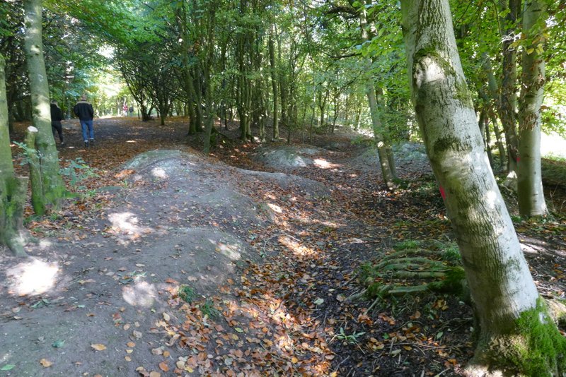
First World War practice trenches, beside the Ridgeway on Whiteleaf Hill
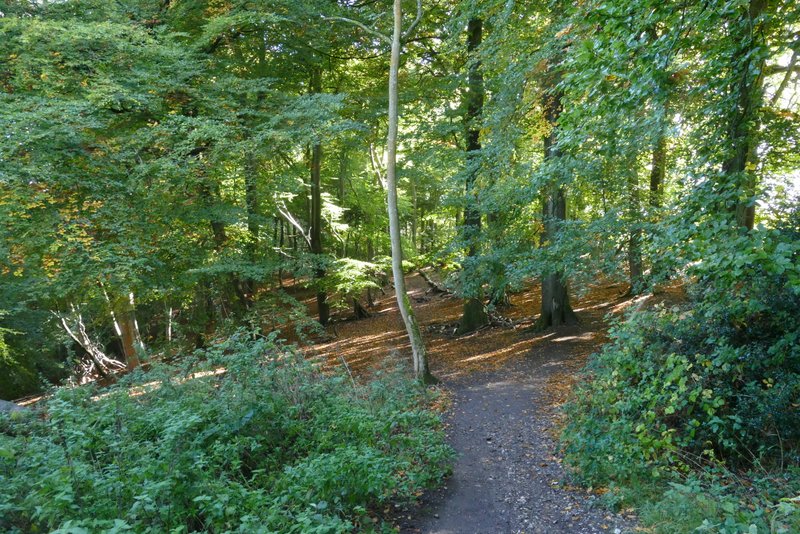
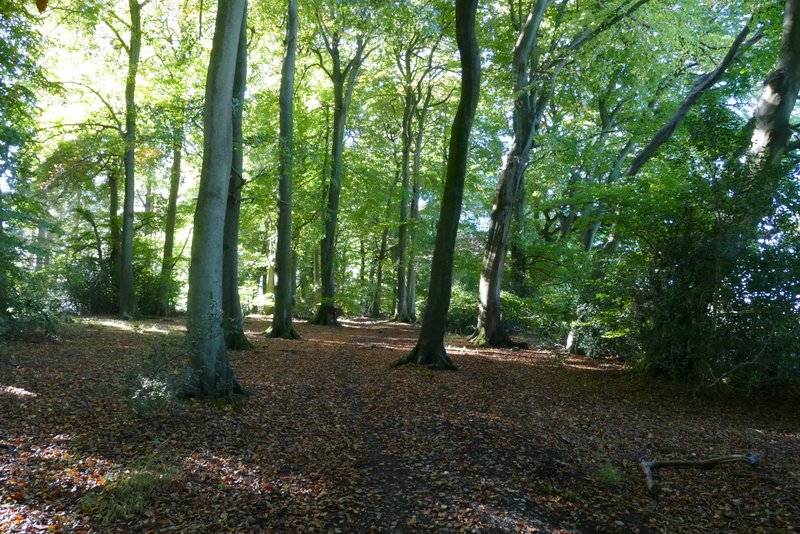
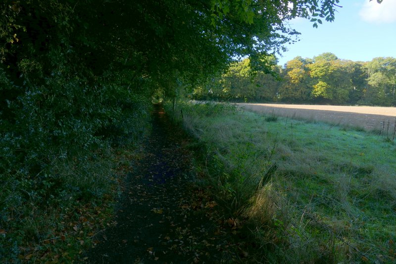
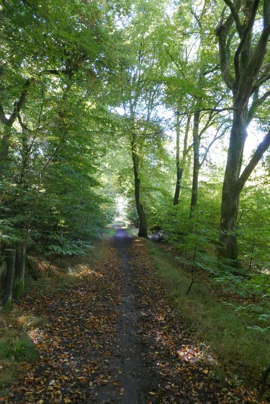
The bridleway going east from Whiteleaf Hill
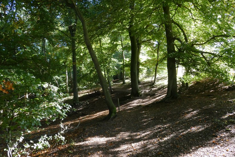
The bridleway going east from Whiteleaf Hill
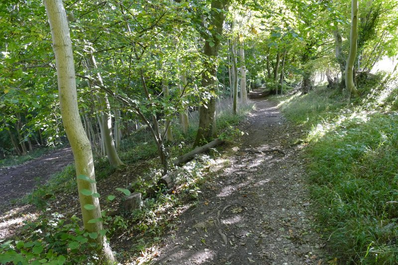
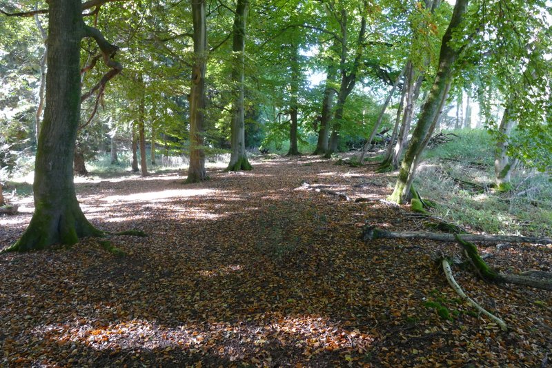
The bridleway going east from Whiteleaf Hill, just after the fork where I kept right
When I eventually reached a corner of the field to my right, I turned right at a path crossroads (I always think of this next section of the route as the 'right, left, right, left, right, left' bit), and followed a bridleway just inside the edge of Sergeant's Wood. At the corner of the wood, I turned left along a bridleway on the southern edge of the same wood. I next turned right again, just after the end of the field on my right, and followed a path through the edge of Kingsfield Wood. I then reached a minor road, via a garden and drive, where I turned left.
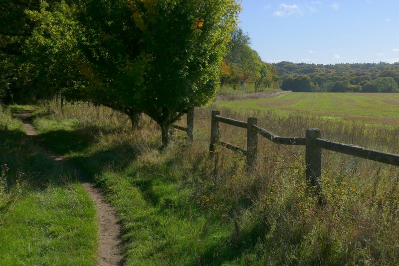
The bridleway along the western edge of Sergeant's Wood
The bridleway along the southern edge of Sergeant's Wood
The path along the north-western edge of Kingsfield Wood
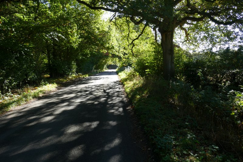
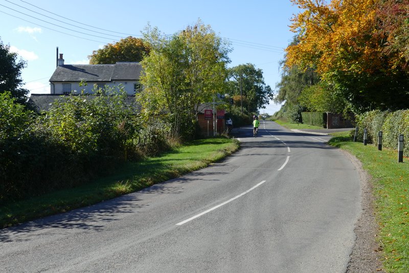
The short road section, Kingsfield Wood on the left
After maybe a quarter of a mile I took a bridleway on the right, where Hillock Wood started on that side. The bridleway followed the edge of a field on my right, then turned left to head south through Hillock Wood, with the steep Chiltern escarpment dropping away to my right. The bridleway ended in the hamlet of Parslow's Hillock, where I followed a drive a few yards left to a road. I went a short distance right along the road, then turned left down Lily Bottom Lame.
Bridleway on the north-western edge of Hillock Wood, after I turned right from the wood
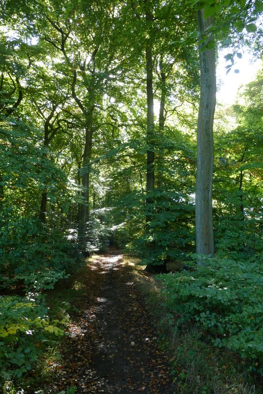
The bridleway through Hillock Wood to Parslow's Hillock
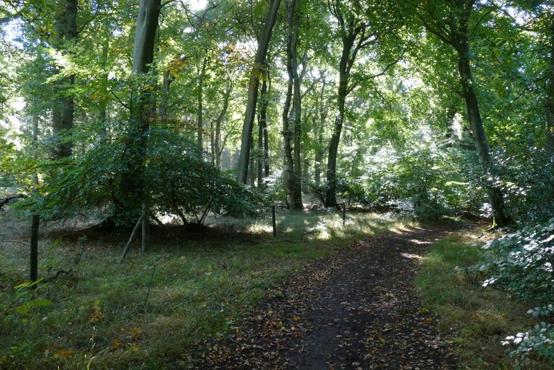
The bridleway through Hillock Wood to Parslow's Hillock
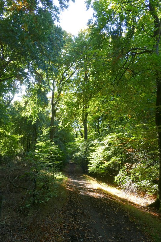
The bridleway through Hillock Wood to Parslow's Hillock
The bridleway through Hillock Wood to Parslow's Hillock
Parslow's Hillock
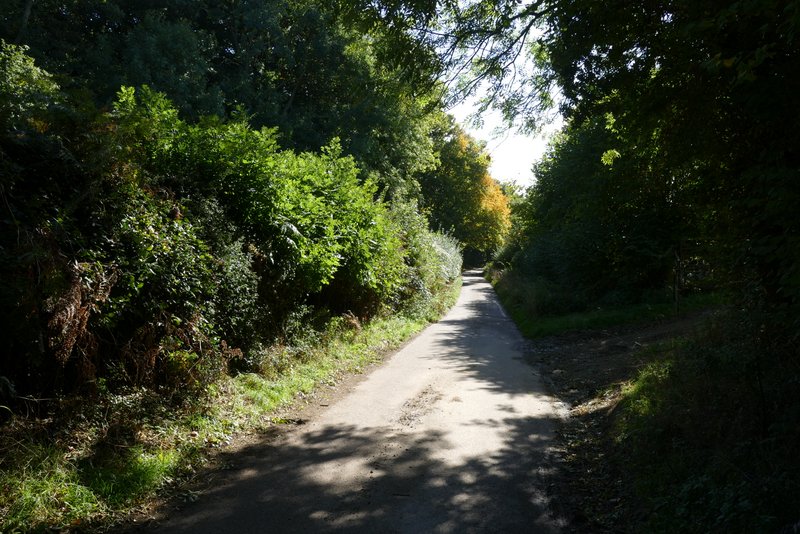
Lily Bottom Lane