Pete's Walks- North from Hambleden (page 4 of 4)
After a short while, the bridleway turned right and ran between hedges or fences. After several hundred yards, it reached a wood - the initial section here was the only very muddy part of the route. On reaching a valley bottom, the bridleway turned right along a surfaced drive, but I continued straight on along a footpath.
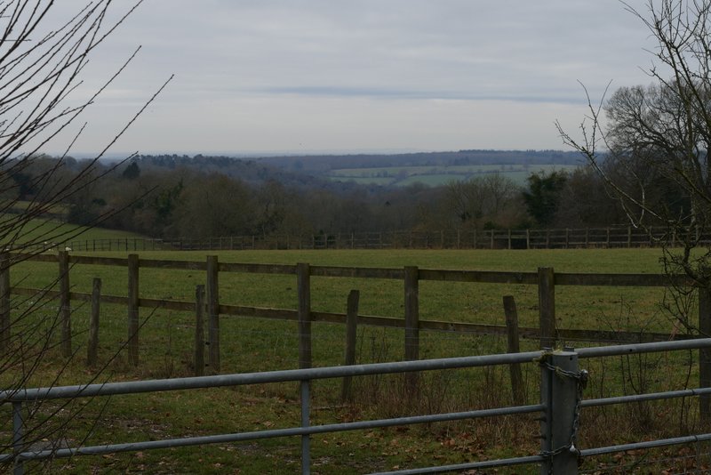
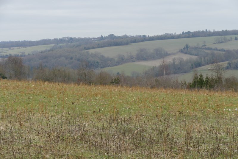
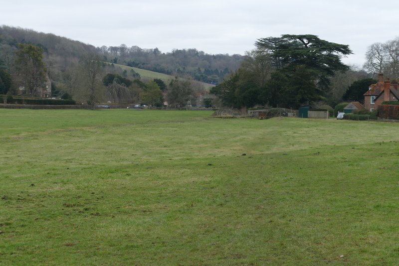
View from Upper Woodend Farm
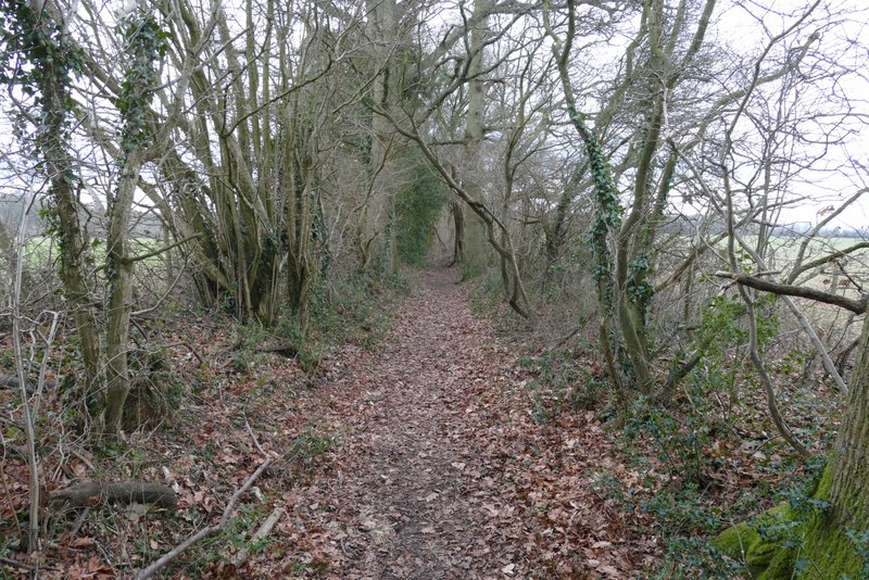
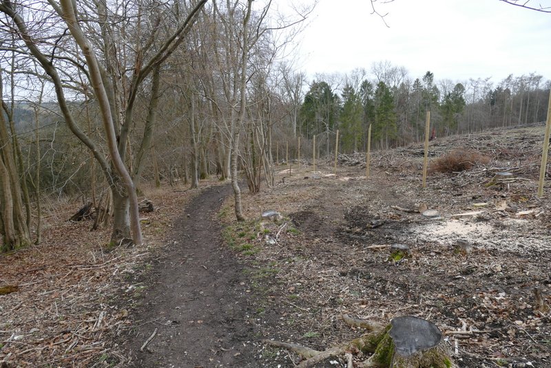
The bridleway from Upper Woodend Farm to Great Wood
The bridleway from Upper Woodend Farm to Great Wood
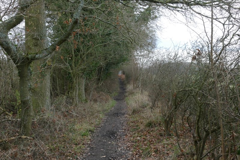
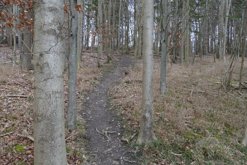
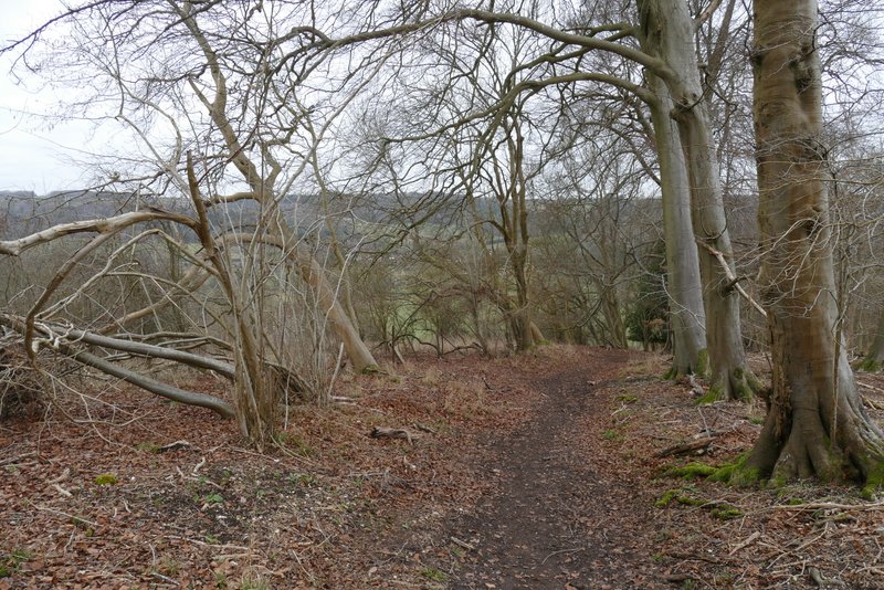
The bridleway continuing through Great Wood
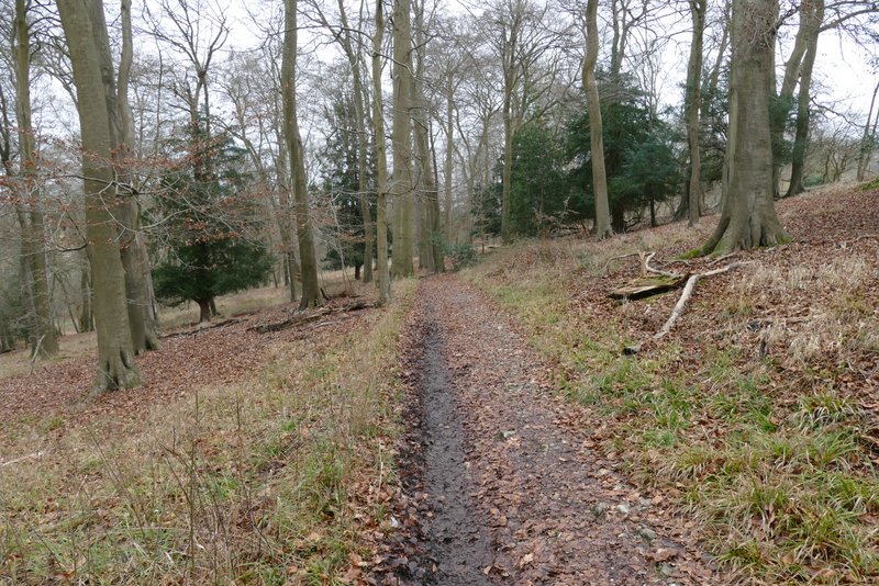
The bridleway continuing through Great Wood
The bridleway continuing through Great Wood
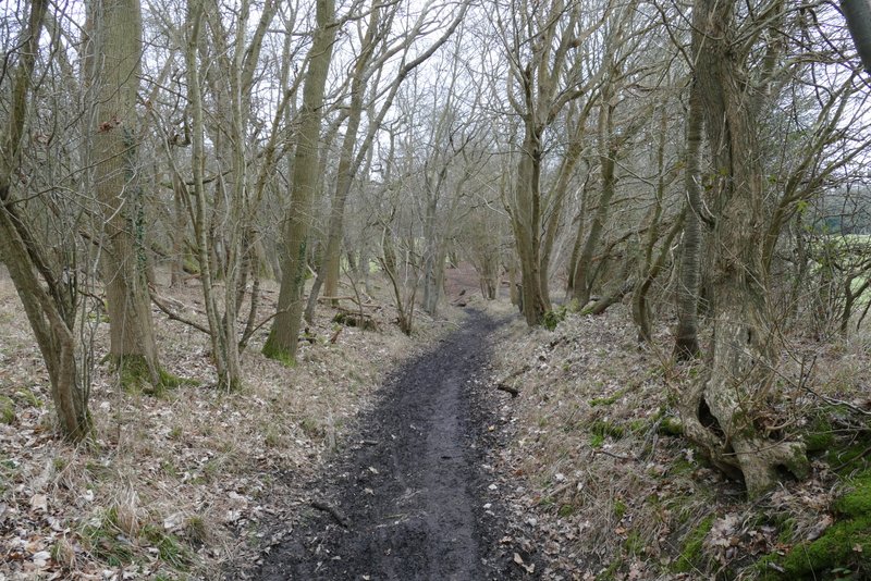
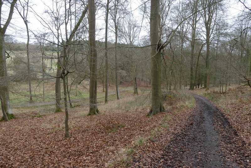
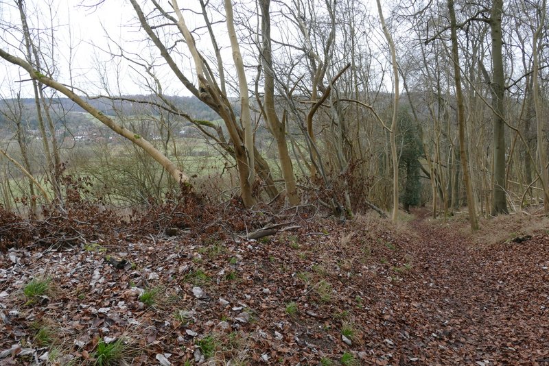
The footpath continuing through Great Wood (just after the bridleway went left in a valley bottom)
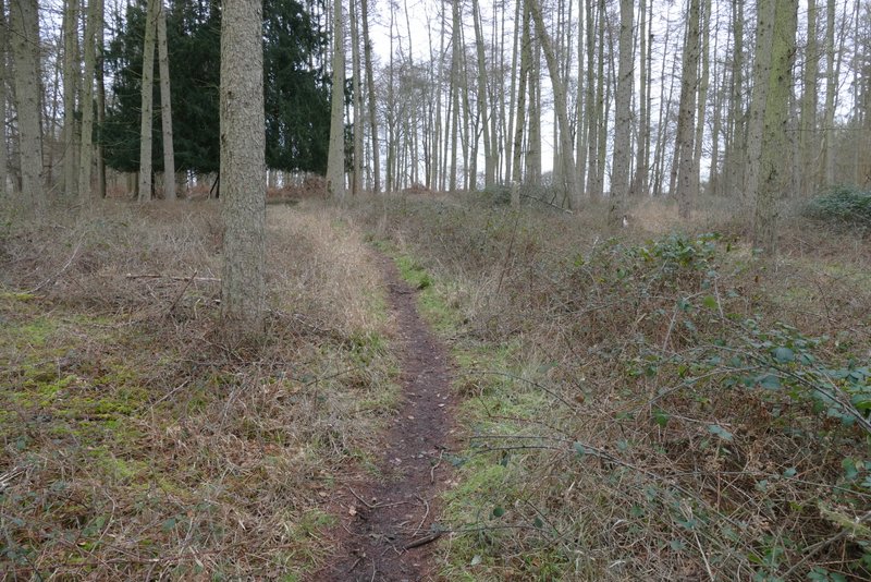
I then a made a mistake by turning left after a few hundred yards onto another footpath (yellow waymark on a post). This path ran through the wood to reach a fingerpost by a surfaced drive, where I turned right (the finger pointing this way said 'footpath' though it's not shown as such on the map). If I'd kept straight on at the first junction (as I did in 2014) I would have joined this same drive further on (still, by walking two sides of a triangle here I had balanced out not walking from and to the car park in Hambleden, so I think I still walked 9 miles today). The footpath then turned left along a broad track for a short distance to reach the edge of the wood, with a view ahead over the Hambleden Valley.
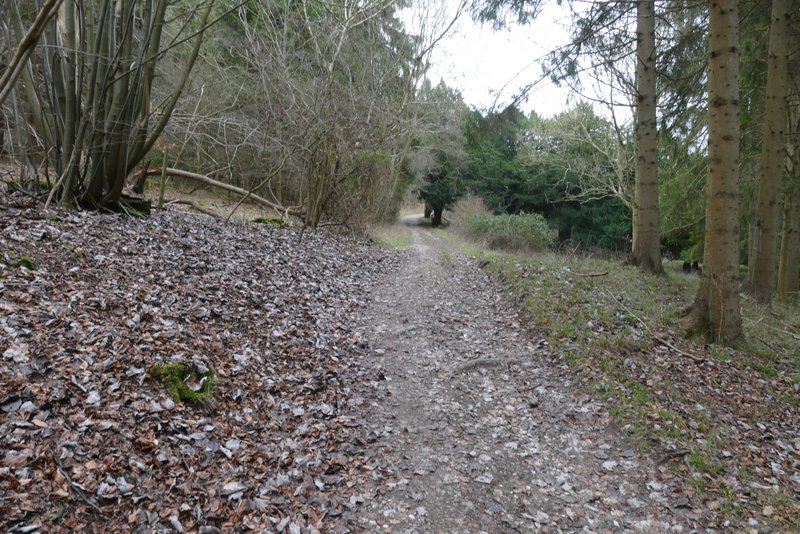
The footpath continuing through Great Wood
The start of the path after I (incorrectly) turned left
The path after I turned left
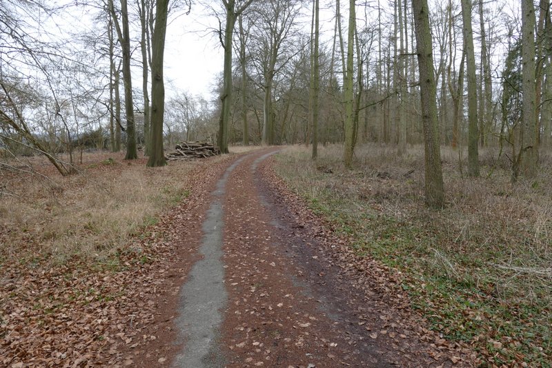
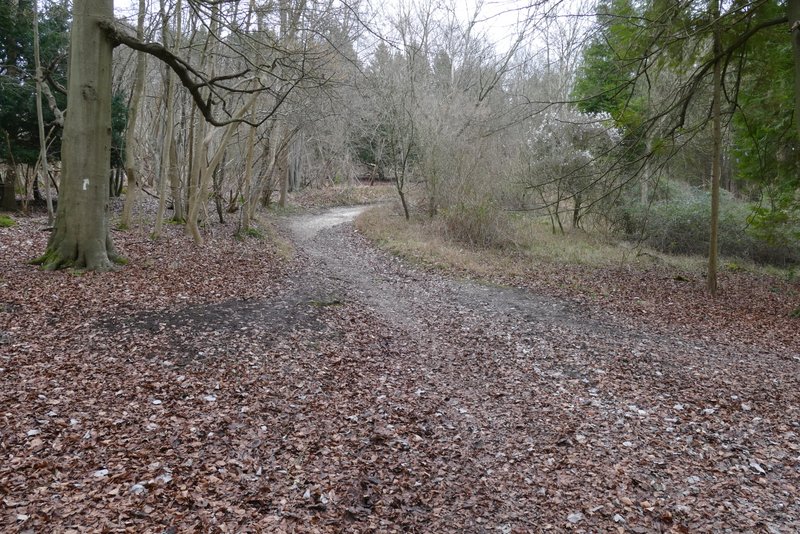
The drive after I turned right
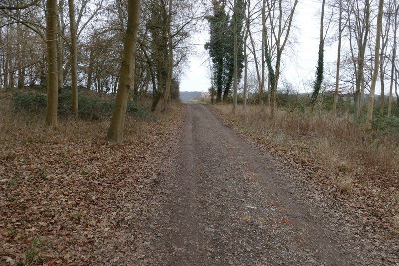
The path after the I turned left, approaching the edge of the wood
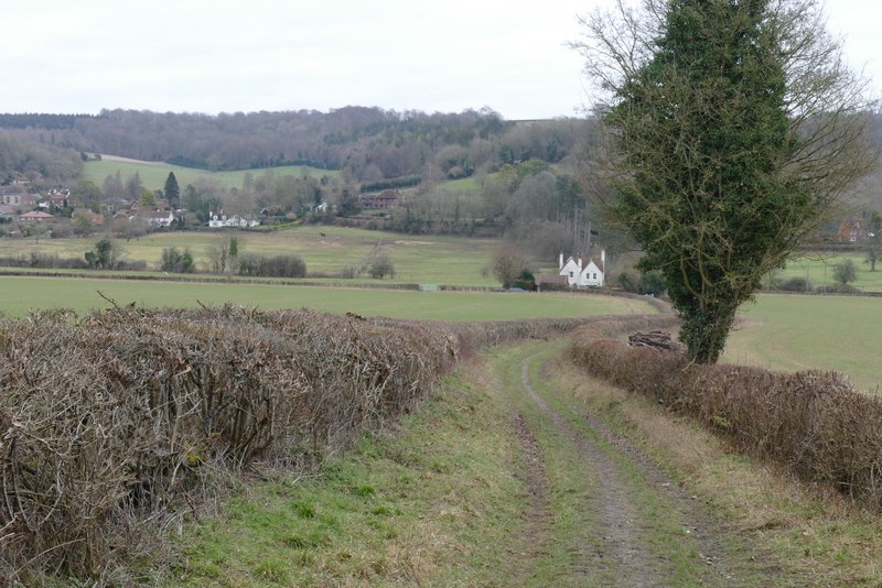
The path continued ahead between fields to reach a corner of a wood (Ridge Wood is the nearest name I can see on the OS map). There was a nice view over the Hambleden Valley around Pheasant's Hill here. The path kept just inside the edge of the wood as it dropped down into the valley. Beyond the wood I joined a track that continued ahead between hedgerows to reach the minor road that runs through the Hambleden Valley. I then turned right and followed the road for a few hundred yards, then took a path going half-left across a meadow next to the Hamble Brook. I then just had to turn left along a lane to return to where I'd parked.
View of the Hambleden valley
The path descending through Ridge Wood
The path descending through Ridge Wood
The path descending through Ridge Wood
The path continuing from Ridge Wood
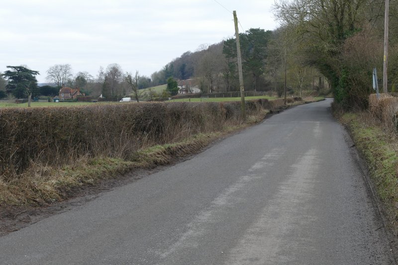
The minor road into Hambleden
The path through the meadow, heading towards Hambleden church
It took me about 3 hours and 35 minutes to walk the 9 miles, but I've put on a lot of weight and lost a lot of my fitness during the pandemic. I didn't feel too bad afterwards, so I think I'm over long covid (though I still can't taste or smell coffee). It was a very pleasant walk, despite the cold, grey and overcast conditions, though some people might think too much of the route was in woodland. The paths were nowhere near as muddy as I'd expected, the only bad section was the short stretch in Great Wood that I mentioned.