Pete's Walks - Chenies and the Chess Valley (page 4 of 4)
If you are considering walking this route yourself, please see my disclaimer. You may also like to see these notes about the maps and GPX files.
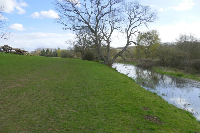
I then continued along the valley, initially with some bushes on my right. The hillside on my left clearly had the remains of strip lynchets on it, ancient agricultural terraces (though rather oddly this isn't shown on the OS map - I think I saw it mentioned on an information board several years ago). The path led on to a cottage and continued along its drive to a lane, New Road. The path continued on the other side, along the edge of a field and then bearing half-right past some trees to another footbridge over the River Chess. Across the bridge I turned right, to head back along the other side of the river (I'd only walked this path a couple of times before). The path stayed close to the river and soon ran past a water works on my left. It ended at a lane (the continuation of New Road which I crossed a little earlier, but here called North Lane, according to the OS map).
The path at Sarratt Bottom, beside floodwater from the river Chess
The path at Sarratt Bottom
Strip lynchets (ancient cultivation terraces) on the hillside above Sarratt Bottom
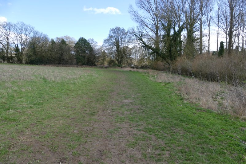
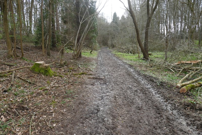
The path continuing from Sarratt Bottom
The footpath after I crossed New Road
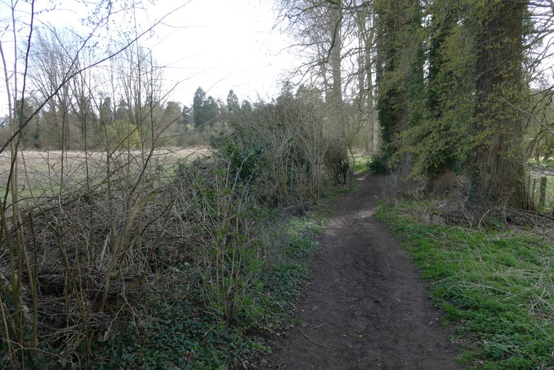
The footpath after it turns right, towards the river Chess
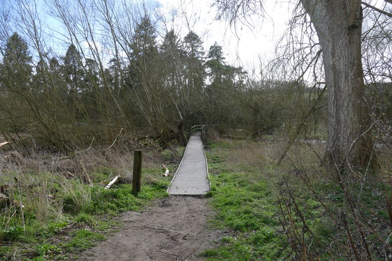
Approaching the footbridge where I recrossed the river Chess
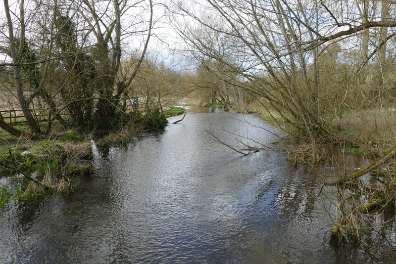
Looking north from the footbridge where I recrossed the river Chess
Looking south from the footbridge where I recrossed the river Chess
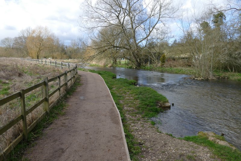
The short stretch of path next to the river Chess
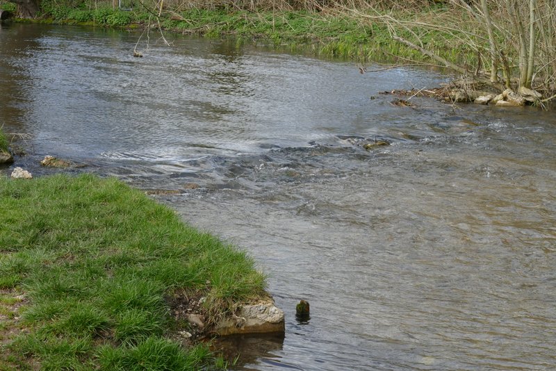
I didn't know the river Chess had rapids! :)
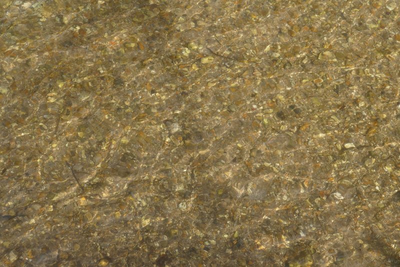
The water of the river Chess was very clear despite the fast flow
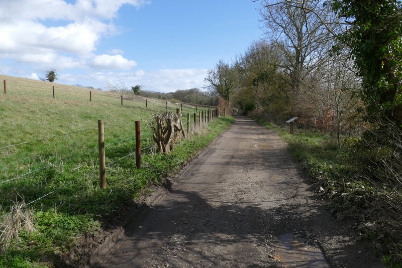
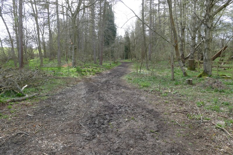
The footpath continued across the lane, running along the left side of a long empty pasture beside the river (now over to my right). The path continued on past a marshy area of reeds on my right to return to Sarratt Bottom. At a path crossroads here I turned left - usually when I've taken this path I've then immediately taken a path forking right from it, but today I just kept straight on, along part of the Chiltern Way (I'd only walked this path three times before). The path ran for almost half a mile through the middle of a long thin wood, then rose uphill through a field to reach another wood, Wyburn Wood. Beyond this wood it ran between a fence and a hedge to reach a road on the edge of Chenies, where I turned right to return to my parked car.
The path heading back to Sarratt Bottom after I crossed North Lane
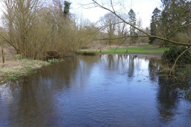
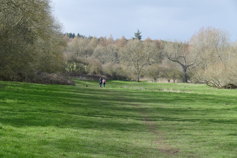
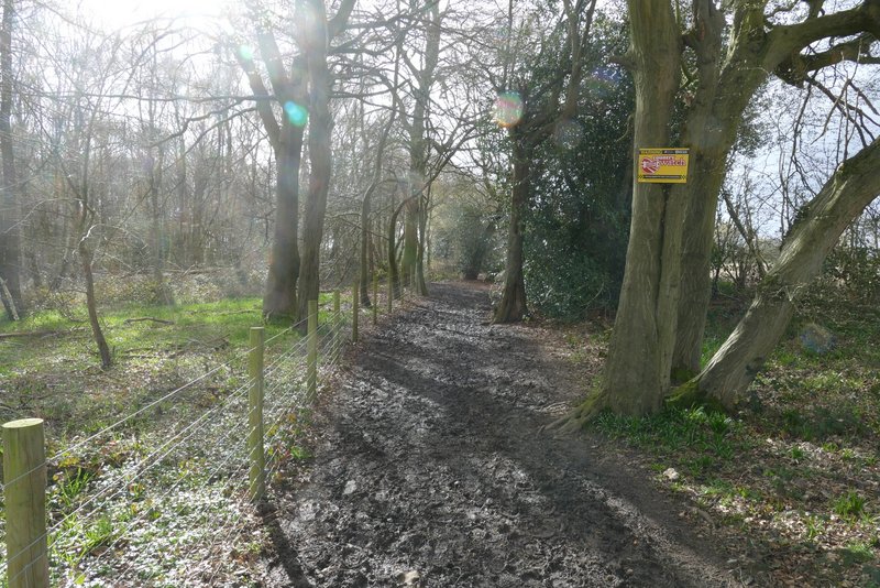
Sarratt Bottom
Sarratt Bottom (if I'd turned right through the floodwater this is where I'd have come out)
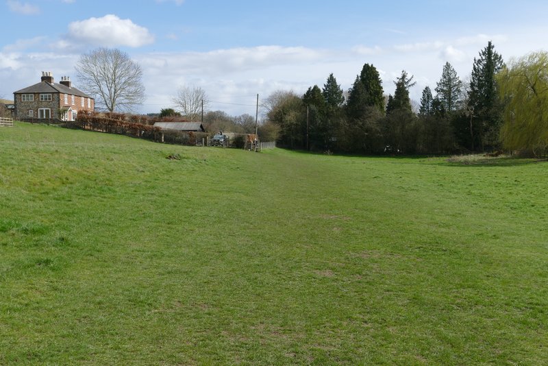
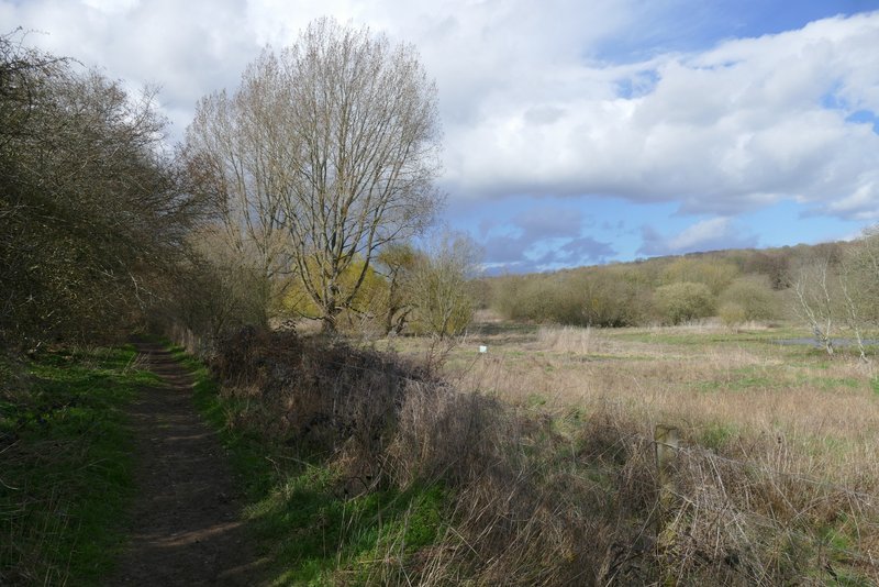
The path to Chenies from Sarratt Bottom
The path to Chenies from Sarratt Bottom
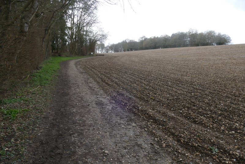
The path to Chenies from Sarratt Bottom
The path to Chenies from Sarratt Bottom
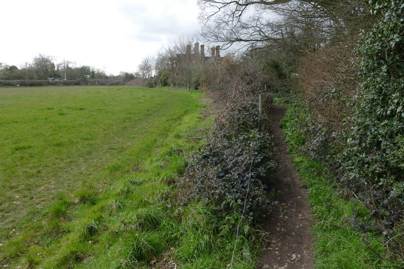
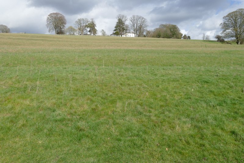
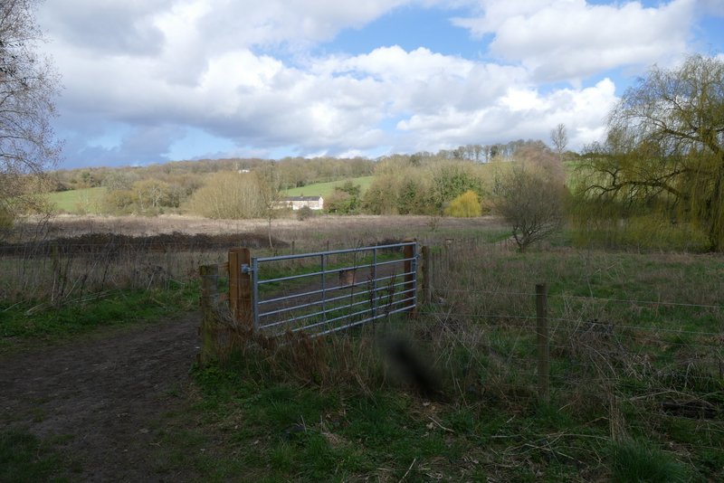
Approaching Chenies
This was a really nice walk - in 2015 I gave it '**' on my very idiosyncratic rating system, meaning that I think it's much better than an average walk in the Chilterns, and I see no reason to change that. As I said in 2015, I think the Chess is the most attractive of the (very few) river valleys there are in the Chilterns and I always enjoy walking here. The only slight negative is that you do see more people walking the paths here than you usually meet in the Chilterns, but that's hardly surprising considering that it's in the heart of the commuter belt (it's easily accessible from the Underground stations at Chorleywood, Chalfont & Latimer, and Chesham!).