Pete's Walks- Bledlow and Radnage (page 3 of 4)
If you are considering walking this route yourself, please see my disclaimer. You may also like to see these notes about the maps and GPX files.
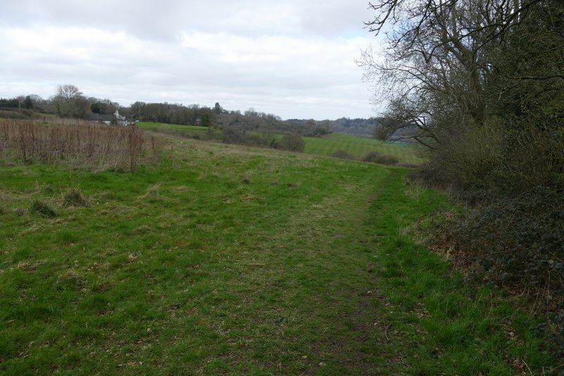
Across the road, a footpath started down a drive and continued between a fence and a hedge on my right. Where the hedge ended, I turned right onto another path, following the right edge of a grassy field. After a while the path went through a metal kissing-gate in the hedge to my right, the path then dropping quite steeply downhill through another grassy field. At the bottom I went through another gate, just to the right of a line of conifers, and turned left to follow the edge of another field as far as Lodge Hill Farm (the OS map shows the path going through part of the field, but I have never seen any evidence of this and the waymarks seem to confirm that the path follows the field boundary).
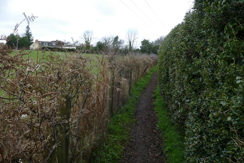
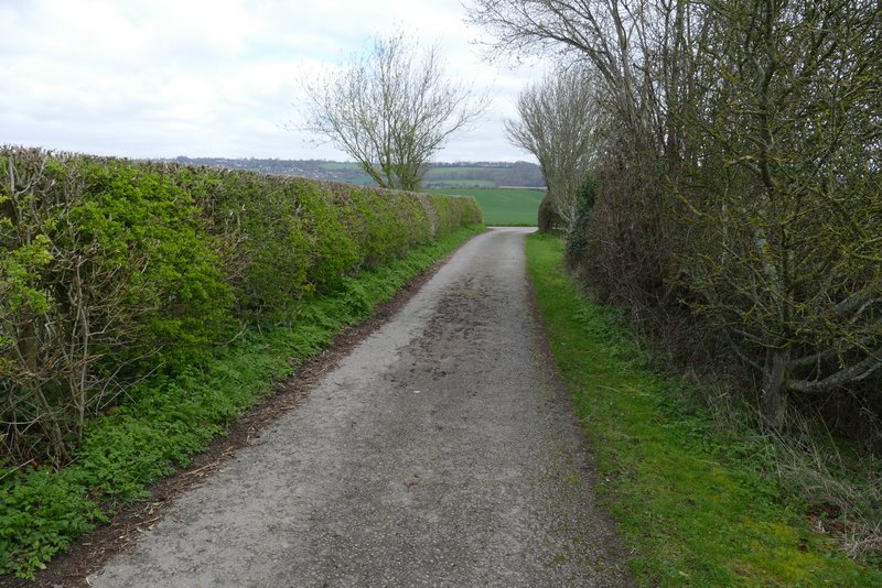
The path after crossing the road in Bledlow Ridge
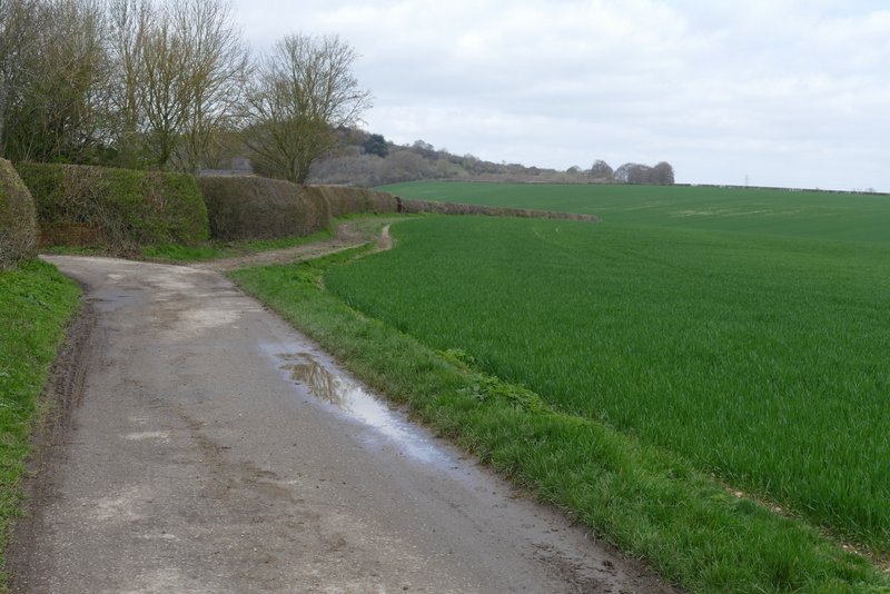
The path after I turned right on the edge of Bledlow Ridge<
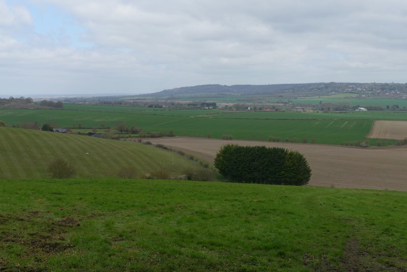
The path from Bledlow Ridge (it descends to just right of the fir trees, then turns left along the far side of the fence line)
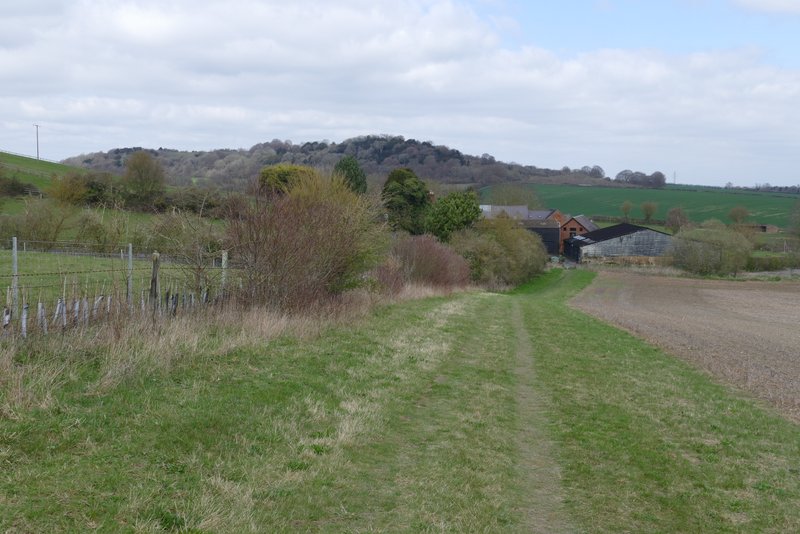
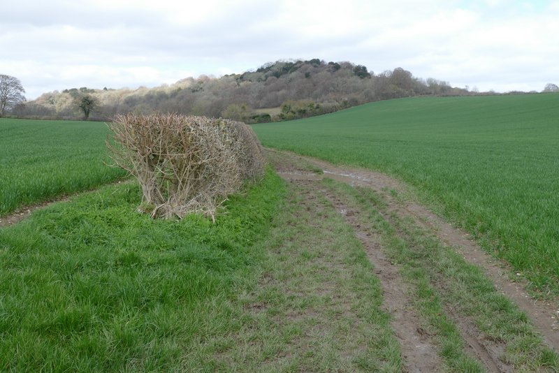
The path to Lodge Hill Farm
On reaching the farm I turned right along its drive, and where the drive turned right I turned left, following a bridleway alongside a hedge on my right. After several hundred yards, the bridleway turned right and shortly afterwards I came to a bridleway junction where I kept straight on, now with Lodge Hill rising to my left. The bridleway rose a short way uphill and then was soon passing through an area of scrub at the eastern foot of the hill.
The drive at Lodge Hill farm
The bridleway between Lodge Hill Farm and Lodge Hill
The bridleway between Lodge Hill Farm and Lodge Hill
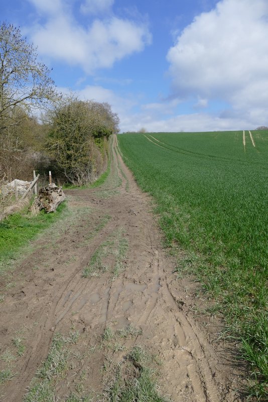
The bridleway crossing the eastern end of Lodge Hill
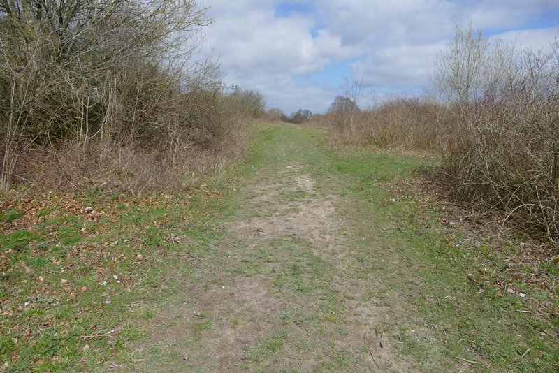
The bridleway crossing the eastern end of Lodge Hill