Pete's Walks- Maidensgrove and Greys Court (page 4 of 5)
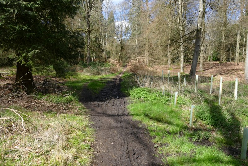
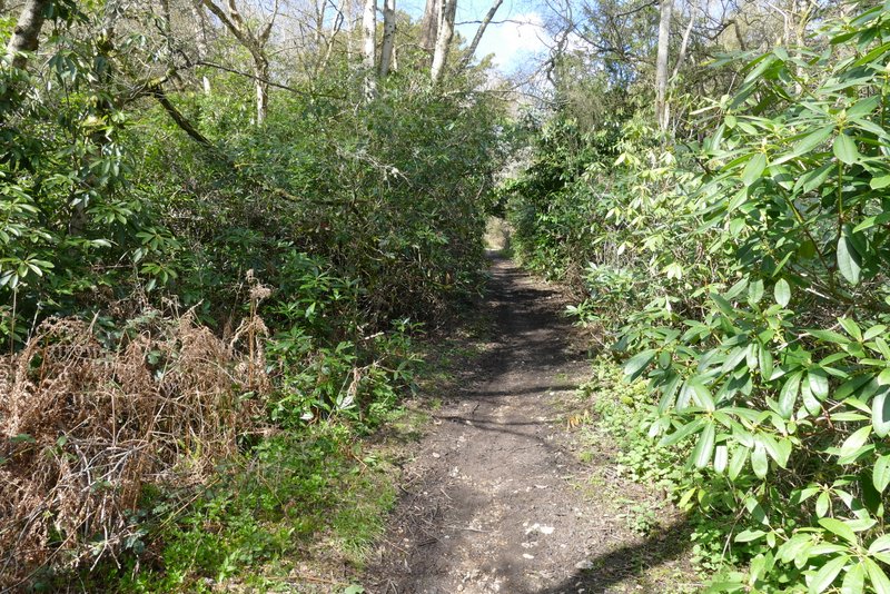
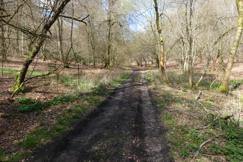
I followed the lane for 5-600 yards until it turned left, when I took a bridleway going right (northeast). Within a few yards I took another bridleway on the left, which ran northwards just inside the edge of a large wood called Holly Grove. This first part of the wood was dense with Rhododendrons (and there were more later on, though a large area was cleared of them in recent years). The bridleway gradually curved left, to the north and then to the northwest. I passed a small pond to the left of the bridleway, which then soon left Holly Grove and quickly reached some properties at Lower Highmoor.
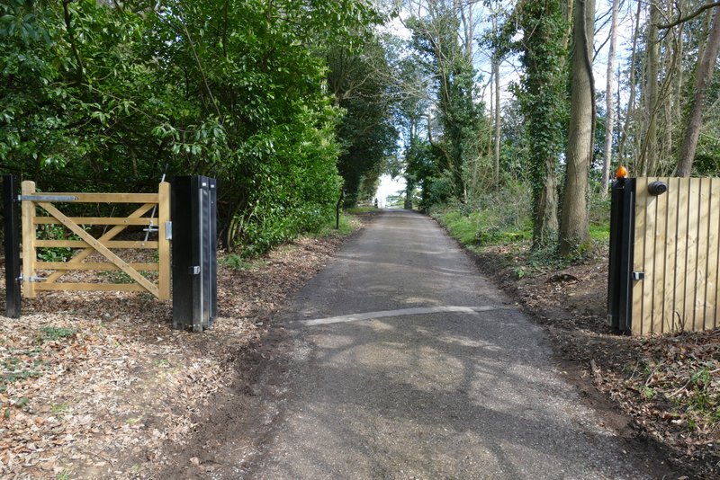
The bridleway going right from a corner of Rocky Lane
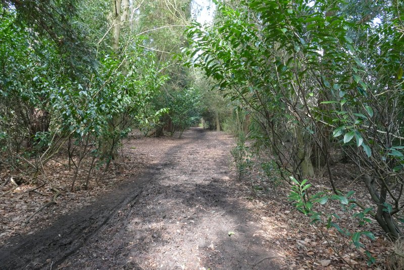
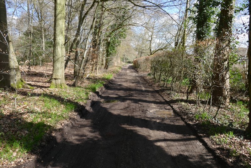
The bridleway through Holly Grove
The bridleway through Holly Grove
The bridleway through Holly Grove
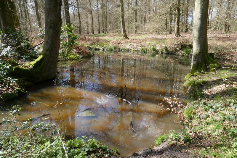
Pond beside the bridleway through Holly Grove, just before I reached Lower Highmoor
The bridleway through Holly Grove
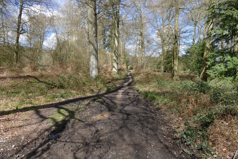
The bridleway through Holly Grove, approaching Lower Highmoor
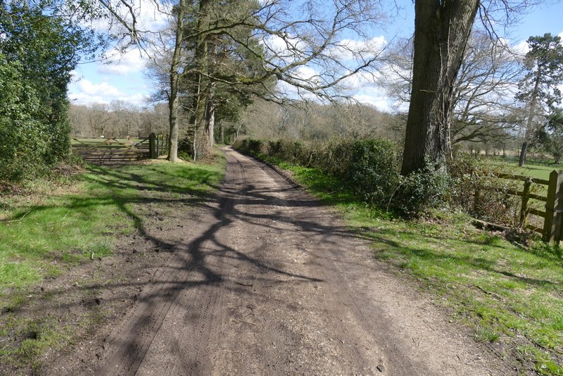
I turned right here at a track crossroads, following the surfaced drive towards a large house called Merrimoles, which I passed on my right. Just beyond the house I started the section of the route I'd only walked once before, by staying on the drive as it turned right (I usually go straight on along a path through Highmoor Common Wood). The drive was now going east or just north of east, before turning left (northwards). At a track junction I turned left and followed the track as it headed into Lowercommon Wood.
The drive to Merrimoles
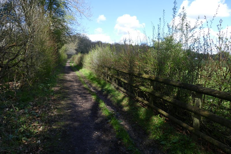
The drive continuing from Merrimoles, going east or northeast
The drive continuing from Merrimoles, going east or northeast
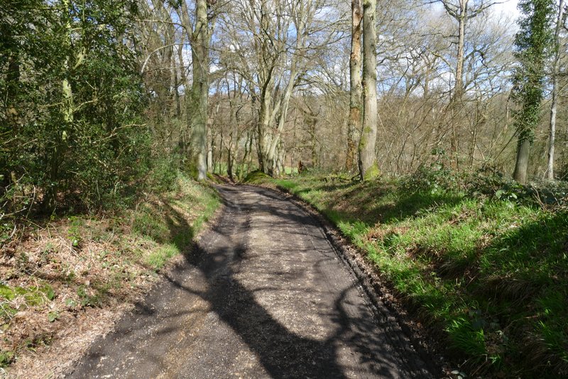
The drive continuing from Merrimoles, going east or northeast
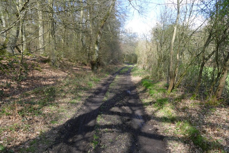
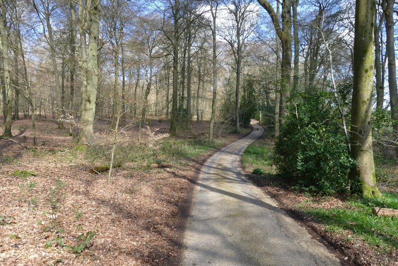
The public byway heading into Lowercommon Wood
The public byway in Lowercommon Wood