Pete's Walks- Pitstone Hill and Grand Union Canal (page 3 of 3)
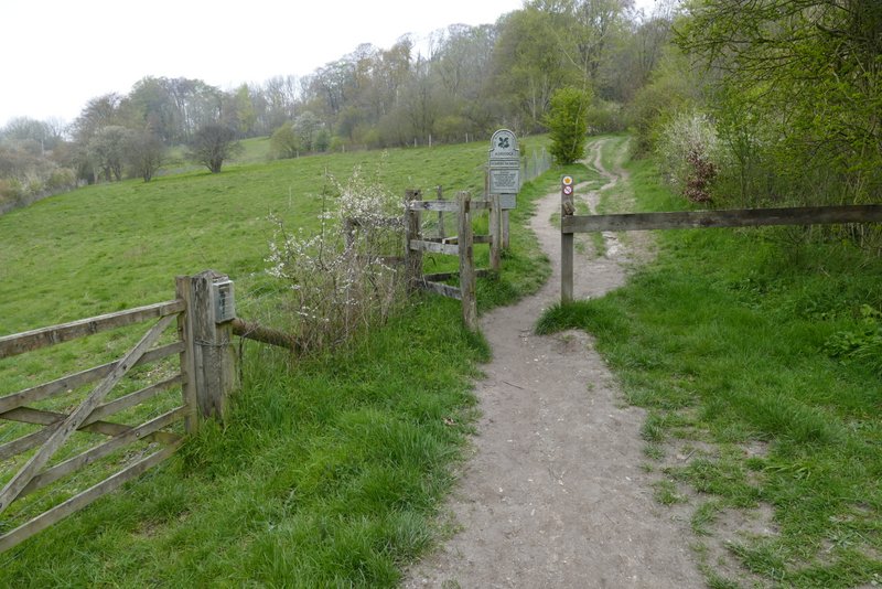
I turned right along the towpath (thus leaving the route of Walk 4 of my Chiltern Chain Walk), with the canal on my left. I soon passed the Cow Roast Marina, and there were many narrowboats moored along the first section of the canal. After about a mile and a quarter or so I came to the bridge at Tring Station (the second bridge that I came to). I had to go under the bridge and then turn up the steps to reach the road, where I turned to what was now my left. I walked along the road, passing the actual station on my right, and on out of the village. Shortly after a junction where a road went left, I turned left along what used to be a concrete farm drive but is now a broad strip of grass, to reach a crossing bridleway where I turned left.
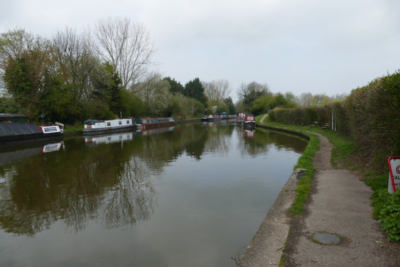
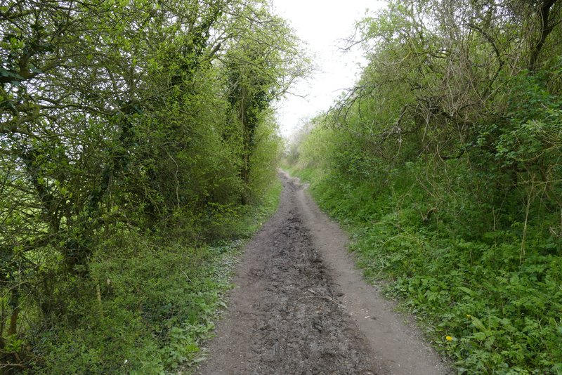
Grand Union Canal
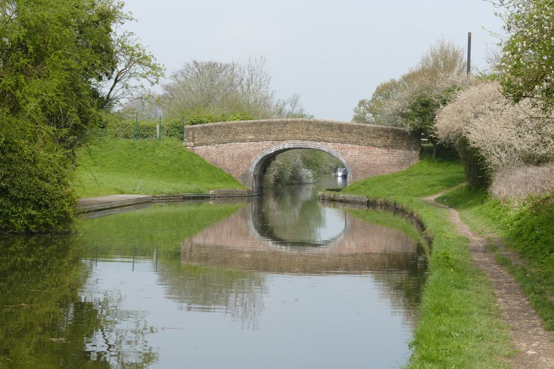
Grand Union Canal
Grand Union Canal
Grand Union Canal
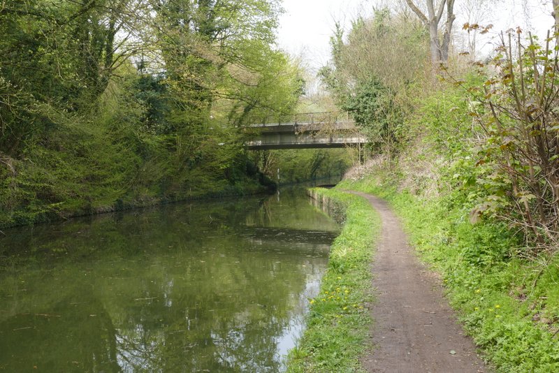
Grand Union Canal, just before I left it at Tring Station
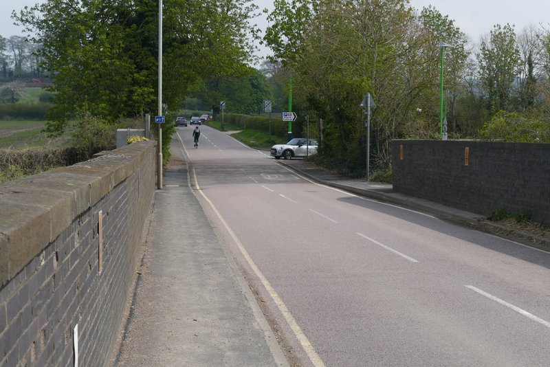
The road out of Tring Station
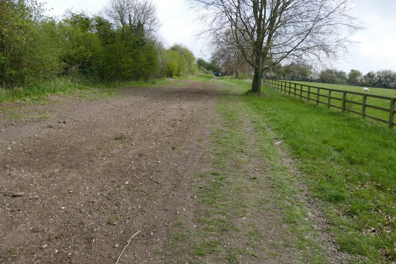
The short farm drive
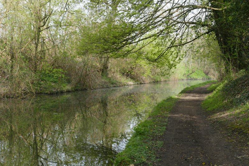
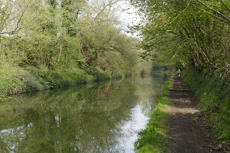
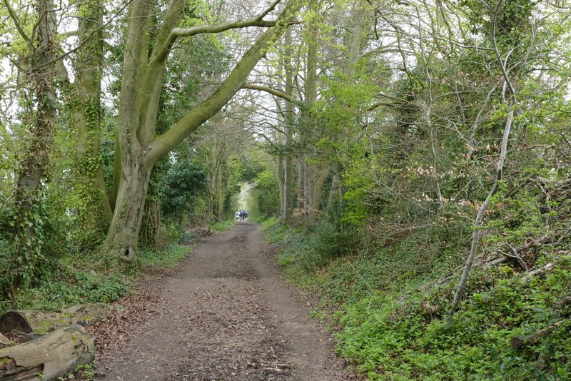
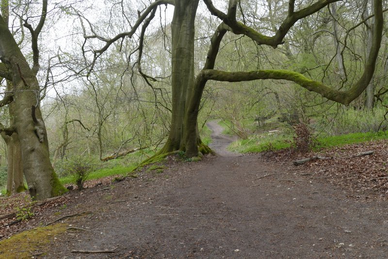
The bridleway led between hedges and trees for a few hundred yards before I turned right at a path or bridleway junction, passing between two open areas of steepish grassland, both parts of the Aldbury Nowers nature reserve. Since Tring Station I'd been back on the route of the Ridgeway National Trail, and I stayed on it as I then turned left, initially up a flight of 'steps' (a footpath went left just a few yards before the Ridgeway did). The path bore left at the top of the 'steps', passing along the fence at the top of the reserve, then continued onwards through the woods of Aldbury Nowers.
Another section of the Ridgeway, heading towards Aldbury Nowers
The Ridgeway continuing towards the nature reserve at Aldbury Nowers
The Ridgeway continuing through the nature reserve at Aldbury Nowers
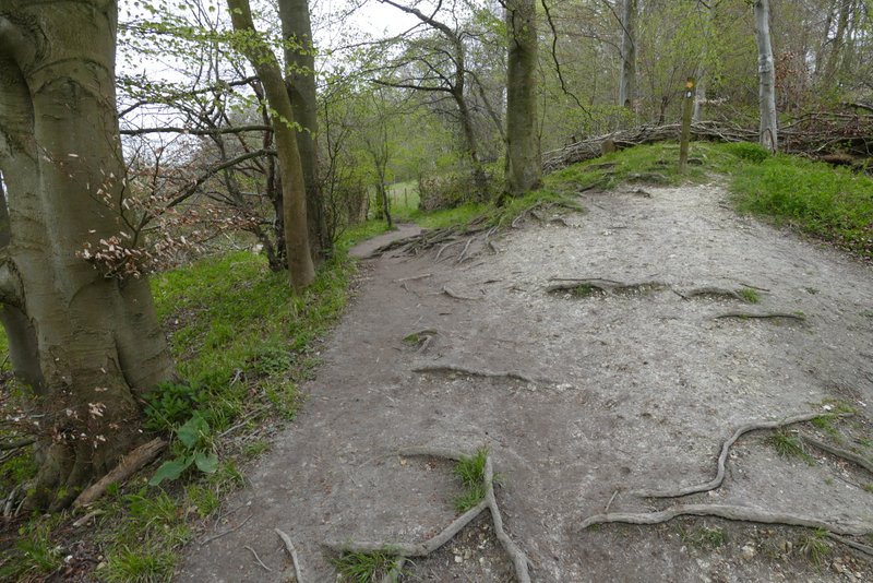
The Ridgeway, where it goes left at th top of a flight of steps
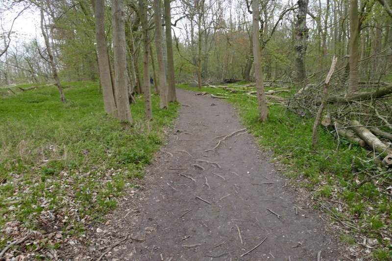
The Ridgeway continuing through Aldbury Nowers
The Ridgeway continuing through Aldbury Nowers
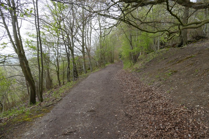
The Ridgeway continuing through Aldbury Nowers
After about two thirds of a mile, the path left the woods and climbed gently up the flank of Pitstone Hill. Just before the top of the hill the path turned right right, then continued along the top of the hill before descending gently with good views ahead to Steps Hill and Ivinghoe Beacon (both were now visible, though there was still a slight mist). At the foot of the slope I chose, as usual, to go up and over the small hillock here, before reaching the car park where I started on its far side.
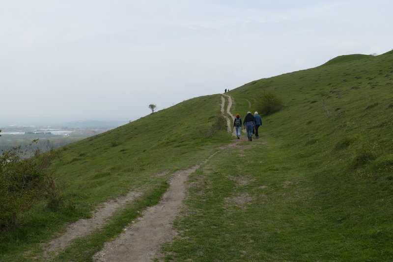
The Ridgeway rising up Pitstone Hill
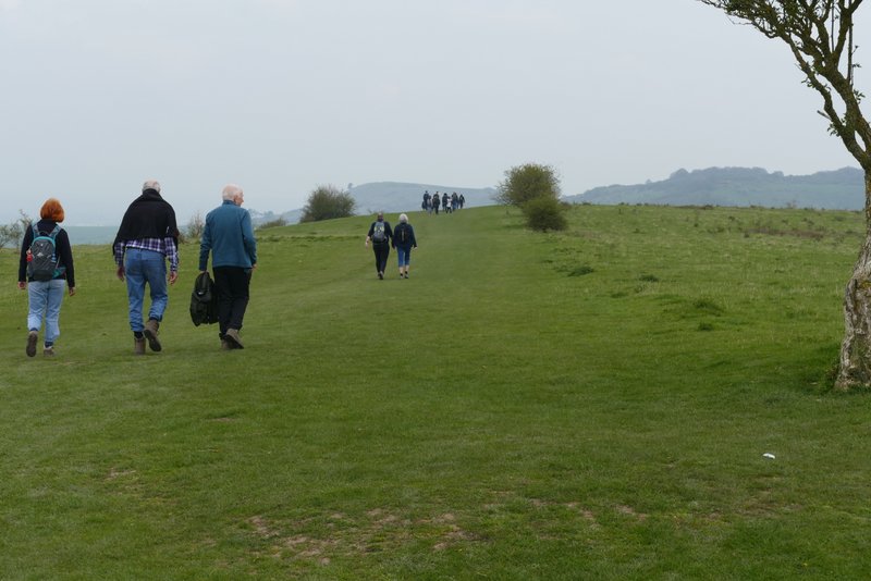
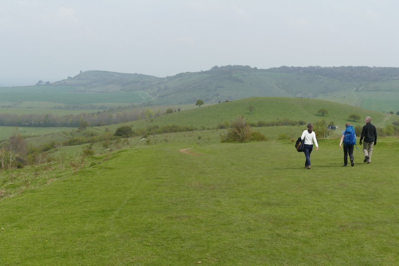
The path on Pitstone Hill (as usual the section along the Ridgeway attracted many walkers)
Ivinghoe Beacon and Steps Hill (still a bit misty) from Pitstone Hill
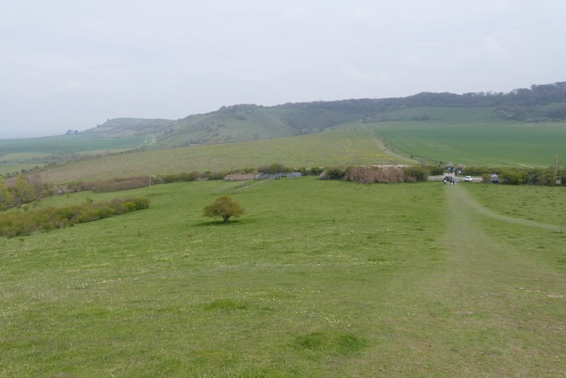
Ivinghoe Beacon, Steps Hill and the car park from the 'hillock'
The walk took me three and a half hours, which is very slow for 8.5 miles (it only took me three hours in 2013). Unfortunately I had an issue with my left leg, and was limping for the second half of the walk. Nevertheless it was a pleasant walk, the slightly misty conditions were rather unusual. I enjoyed walking beside the canal, it seems ages since I've done that. I was disappointed that I didn't see many wildflowers (there were lots of Bluebells, but they were a week or so away from being at their best).