Pete's Walks - Maidensgrove and Turville Heath (page 4 of 4)
If you are considering walking this route yourself, please see my disclaimer. You may also like to see these notes about the maps and GPX files.
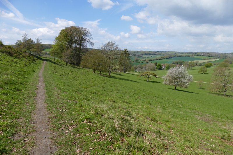
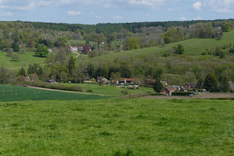
The path continued very gently downhill through the deer park, initially through more woodland then through typical parkland of grass and scattered trees. I soon saw the outbuildings of Stonor House on my right, and further on the grand house itself came fully into view, with its ancient chapel at the front and its formal gardens to the rear. There was also a fine view looking half-right towards Pishill and Pishill church, where I'd been earlier. This is still one of my favourite paths in the Chilterns (though it's much better in this direction, as it's downhill and the best views are ahead of you). When I eventually reached the end of the deer park, I turned left to follow the road through Stonor (I was very surprised to see a Muntjac here!).
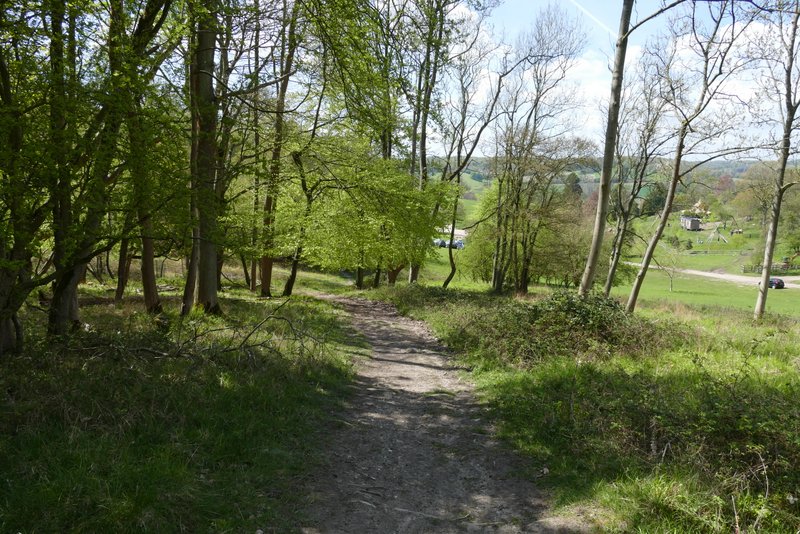
The path through Stonor Park
The path through Stonor Park
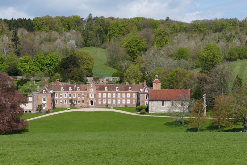
Stonor House
View towards Pishill church from the deer park
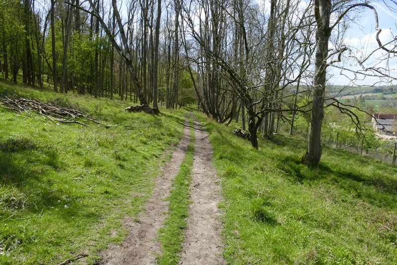
The path through Stonor Park
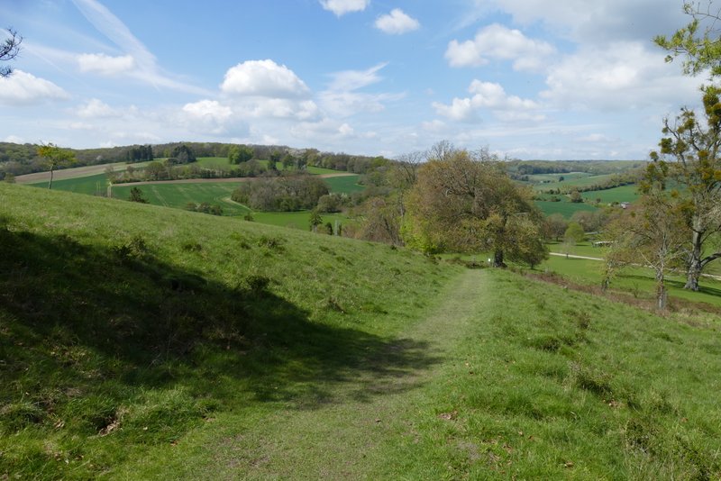
The path through Stonor Park
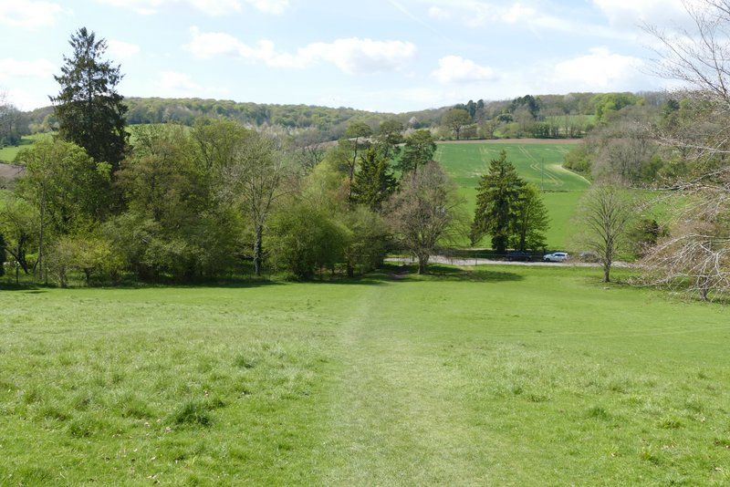
Approaching the end of the path through Stonor Park
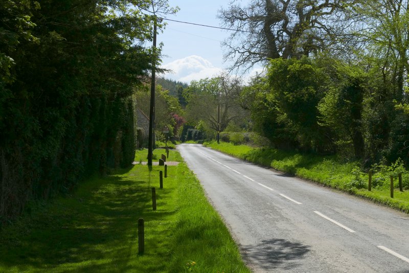
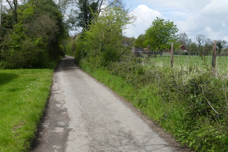
The road through Stonor
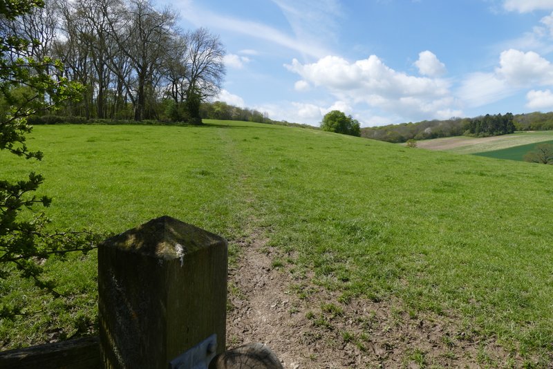
I went straight on where a lane went right (to Maidensgrove), then after another one or two hundred yards I turned right, onto a path that initially ran along an alley between garden fences. The path then crossed a field, going slightly uphill, and then steepened as it continued uphill through a large pasture, passing a small copse on my left. The path then entered Park Wood, the gradient now easing. Beyond the wood I crossed a flat arable field (I'm always surprised that anything can grow amongst the huge number of flints in the field), turning left on the far side to reach the end of a lane by the entrance to Lodge Farm. I turned right and followed the lane until it turned right, where I bore left along a track to reach a corner of Maidensgrove Common. I continued along the left edge of the common to reach the lane that crosses it, where I turned right to return to my car.
The path from Stonor to Maidensgrove, after going down an alley
The path from Stonor to Maidensgrove
Looking back over Stonor, towards Stonor House and its deer park
The path from Stonor to Maidensgrove, approaching Park Wood
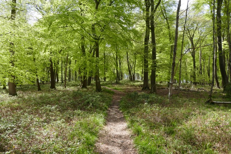
Park Wood
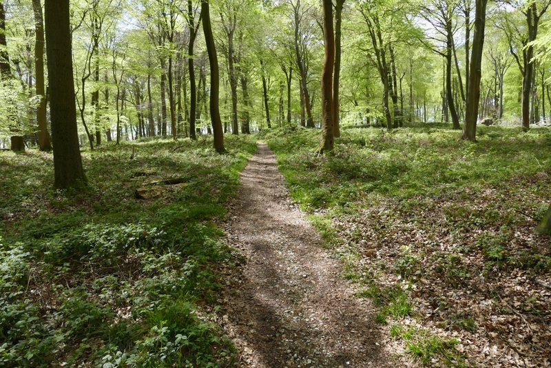
Park Wood
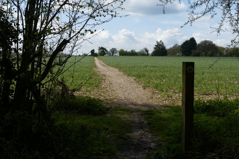
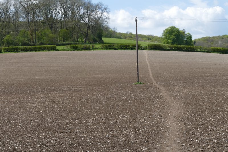
The path continuing from Park Wood towards Lodge Farm. Maidensgrove (as usual, there was a bumper crop of flintstones in this field)
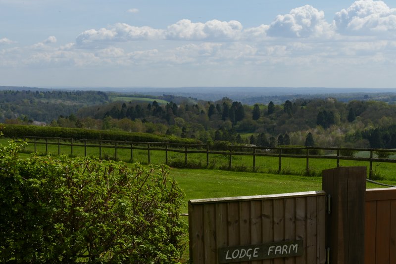
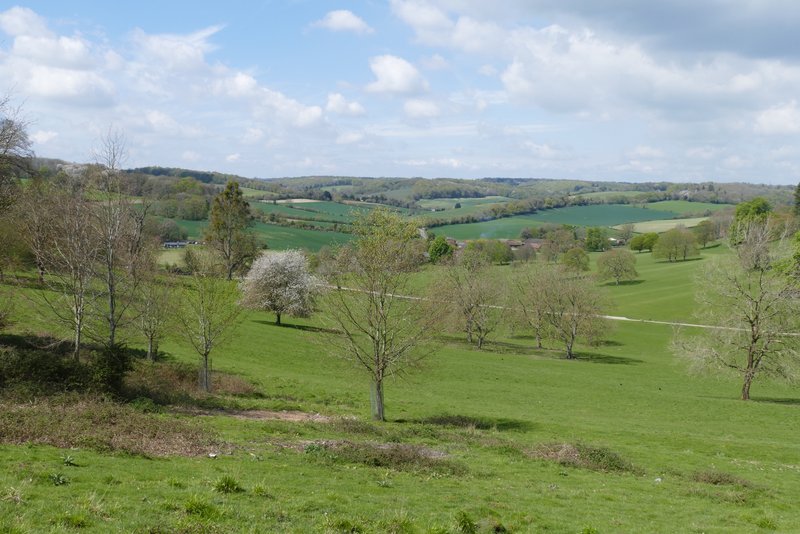
View towards the Thames valley and beyond, from the entrance to Lodge Farm
The lane in Maidensgrove
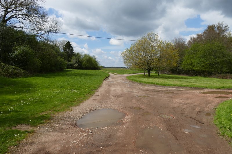
The track or drive to Maidensgrove Common
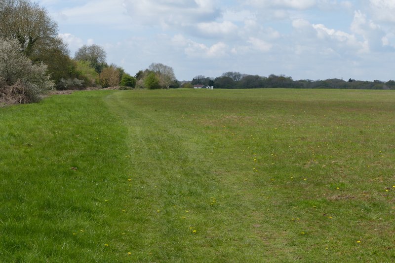
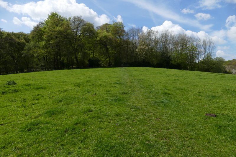
Maidensgrove Common
The walk took me about three hours and 45 minutes, only 15 minutes longer than when I did it in 2017. I'm quite pleased about that, and pleased that I wasn't limping like I did at the end of my previous walk (I've made a slight adjustment to the orthotics I use). It was a very enjoyable walk, and I was glad I'd saved it for such a gorgeous Spring day. It was also a delight to finally see so many wildflowers - apart from those I've already mentioned, I saw Lesser Celandine, Red Dead-nettle, White Dead-nettle, Three-cornered Leek, Cowslips, Violets and Garlic Mustard.