Pete's Walks - Ashridge, Frithsden, Ward's Hurst Farm (page 4 of 5)
If you are considering walking this route yourself, please see my disclaimer. You may also like to see these notes about the maps and GPX files.
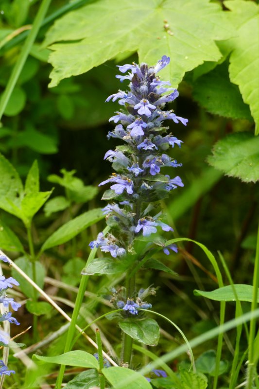
I continued towards the monument and when level with it took a broad track going right, back into the woods (a sign said the track could be used by mobility scooters). After maybe 100 yards I took a footpath forking left (I couldn't see the yellow waymark on a post that was her last year, but the obvious path starts behind a seat). This path was soon dropping downhill through the trees. The path ended when it came to a bend in a bridleway where I went straight on, continuing to descend the wooded slope. I saw my first Bugle of 2023 here. At the foot of the slope the bridleway turned left and passed a large old Ash tree (which I almost always photograph when I'm here).
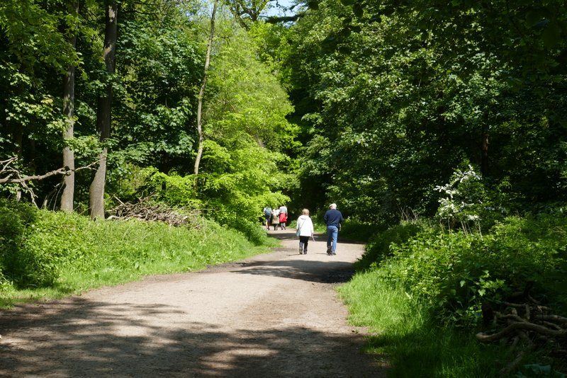
The bridleway from the Bridgewater Monument going north
The footpath forking left
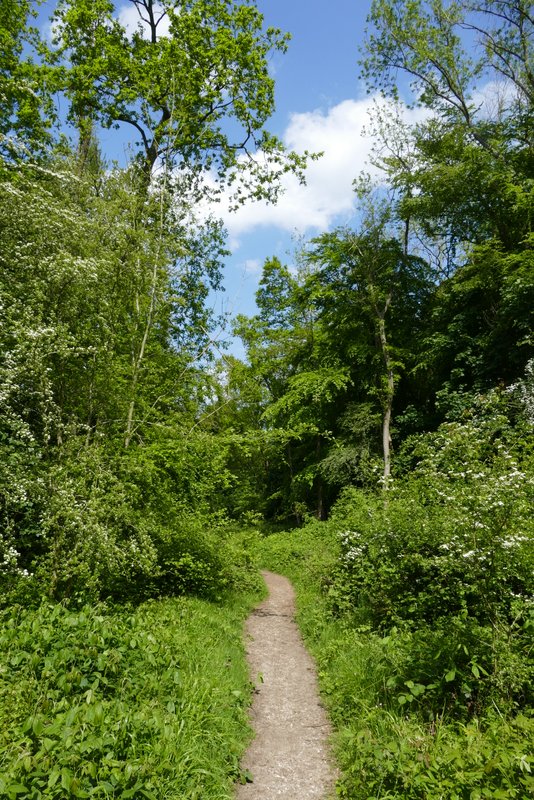
The footpath forking left
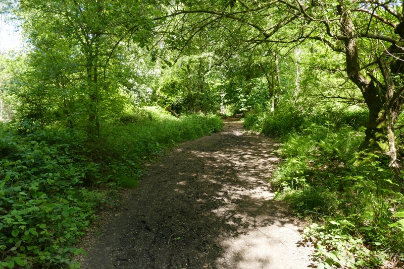
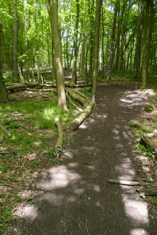
The bridleway continuing down hill
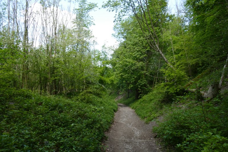
The bridleway continuing down hill
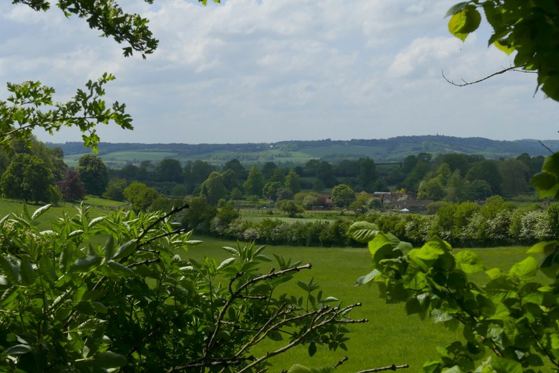
View left toward Aldbury, after the bridleway reaches the bottom of the hill
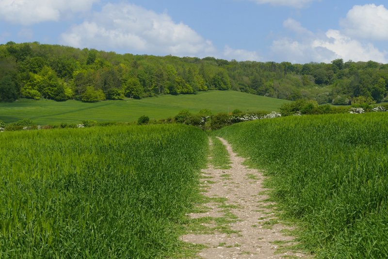
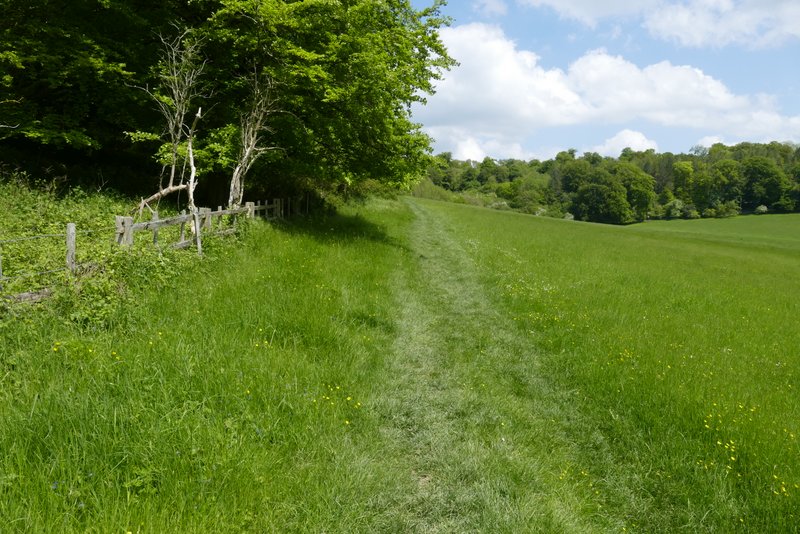
Just after a corn field started on my right, I took a path that crossed the field to a hedge gap and then turned half-left to cross a larger corn field. After crossing the drive to Duncombe Farm (which was to my right), the path went steadily uphill across a third corn field. After a stile or gate, the path continued more gently uphill along the edge of a meadow, with a wood on my left. From the corner of the meadow the path entered the wood, dropping downhill a short way then going uphill to where a bridleway crossed it (this was the bridleway from the Bridgewater Monument that I'd been on very briefly earlier).
Near the start of the path after I tuned right, towards the drive to Duncombe Farm
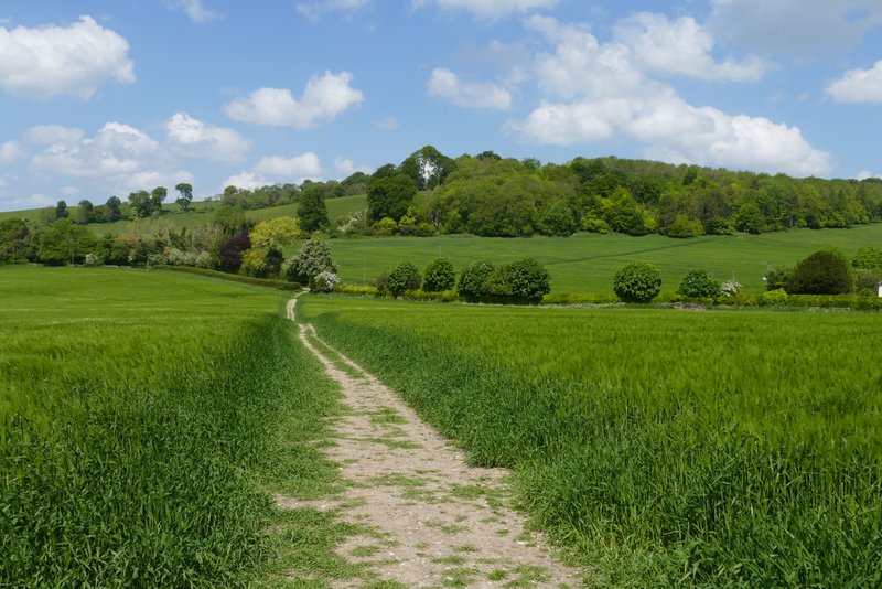
The path towards the drive to Duncombe Farm - from the drive the path goes half-right in a more or less straight line to the field corner in the top right of the shot
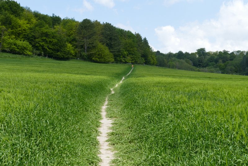
The path continuing on the other side of the drive from Duncombe Farm
The path continuing on the other side of the drive from Duncombe Farm
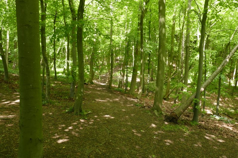
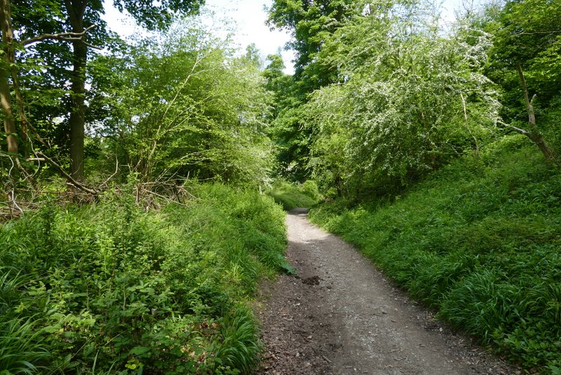
The path continuing through a wood
The path rising steeply through the wood
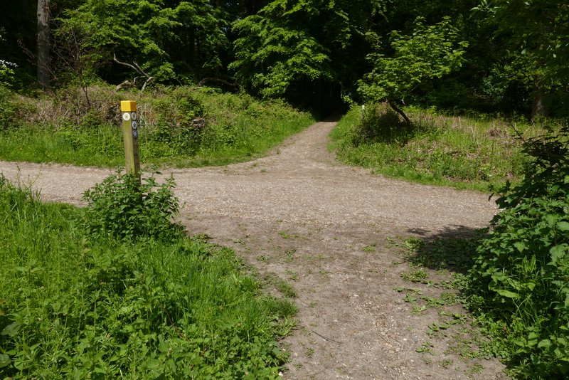
The path crossing a bridleway (the one I initially took from the Bridgewater Monument)