Pete's Walks - Coombe Hill and Kingsash (with HS2 diversion) (page 1 of 6)
If you are considering walking this route yourself, please see my disclaimer. You may also like to see these notes about the maps and GPX files.
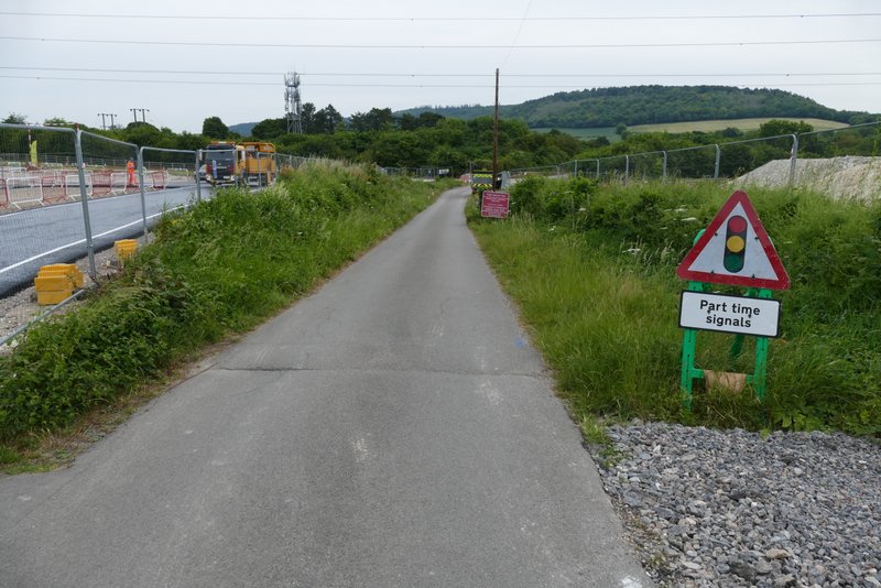
I did this circular walk of about 11.9 miles on Friday, 23rd June, 2023. It was meant to be a repeat of a walk I've done a few times before, most recently in October 2018, but it was lengthened by about two thirds of a mile because of a path diversion caused by construction work for the HS2 railway (Boo! Hiss!).
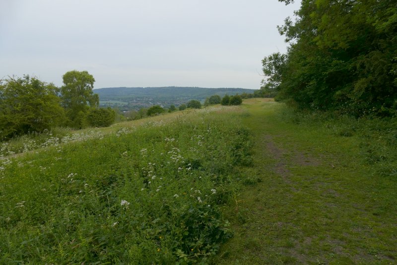
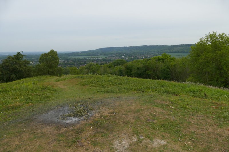
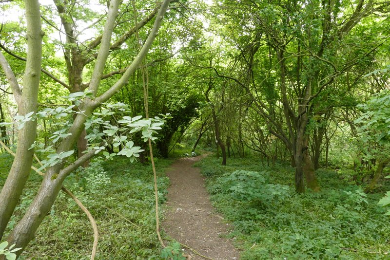
I parked at the Coombe Hill car park (Grid Reference SP 852063), and started walking about 9.20am. From the gate by the car park entrance, I took the middle path that crossed the centre of a flat area of grass and bushes. After going through a belt of trees, I turned right and followed a broad band of grass towards the Boer War monument on top of Coombe Hill. On reaching the monument, I admired the view out over the Vale of Aylesbury and then turned right to follow the Ridgeway national trail (white acorn signs) towards Bacombe Hill
. 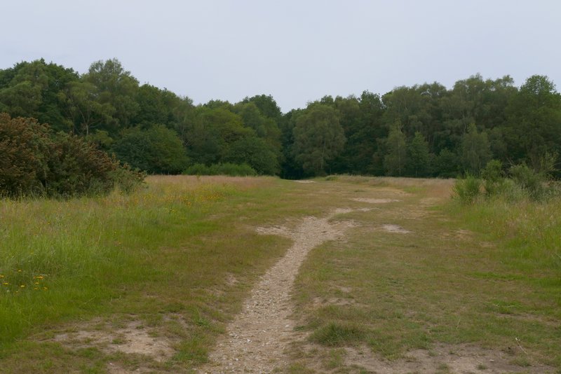
Near the start of the path from the car park on Coombe Hill
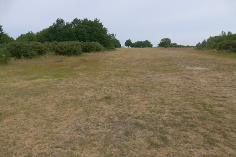
Approaching the Boer War monument on Coombe Hill
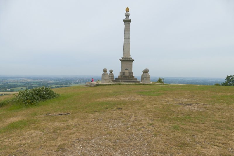
The Boer War monument on Coombe Hill
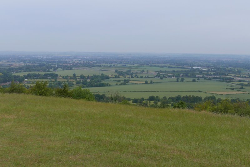
View out over the Vale of Aylesbury, from the Boer War monument
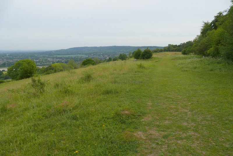
The start of the section of the Ridgeway heading to Bacombe Hill
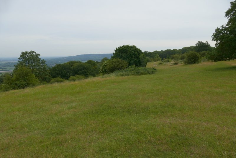
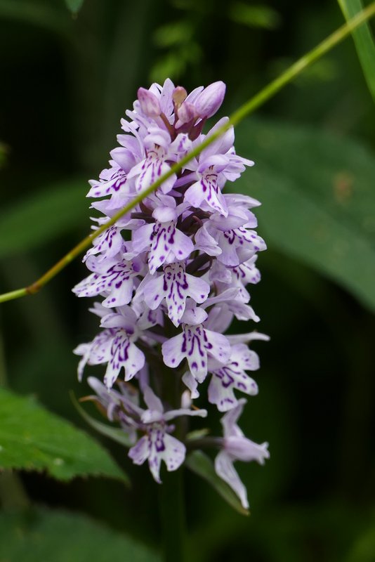
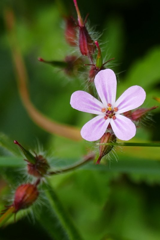
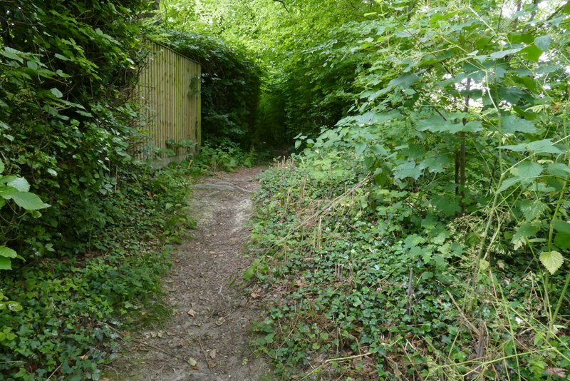
After a few hundred yards I had to go through gates either side of a bridleway in a sunken lane or 'hollow way', my path then running between bushes or small trees for some distance. At a junction (by an information board) where the Ridgeway forked left, I went straight on, soon going through a gate and almost immediately forking right at a vague fork in the path. I carried on along the top of Bacombe Hill, where I saw several wildflowers including Common Spotted Orchid, Herb Robert and the tiny Squinancywort. I kept right where the path seemed to split in two and after a few hundred yards I reached a tumulus or burial mound (the hill drops more steeply after this) where I turned right (another path goes right just before the tumulus, the two paths joining up just after entering some trees).
The Ridgeway heading to Bacombe Hill
The path on top of Bacombe Hill
The path on top of Bacombe Hill
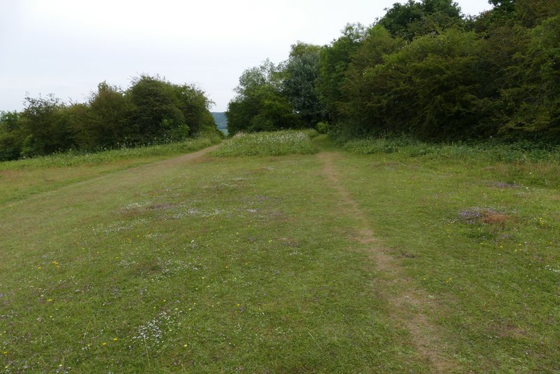
The path on top of Bacombe Hill
The tumulus on Bacombe Hill (where I turned right)
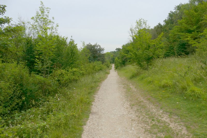
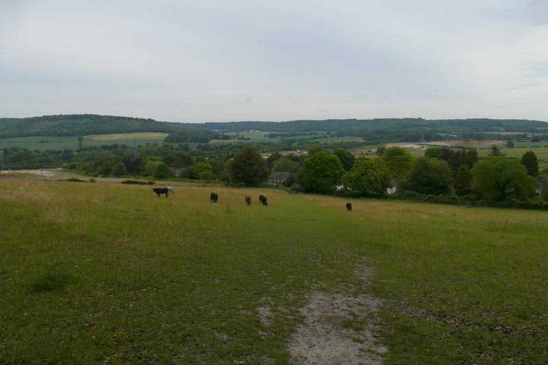
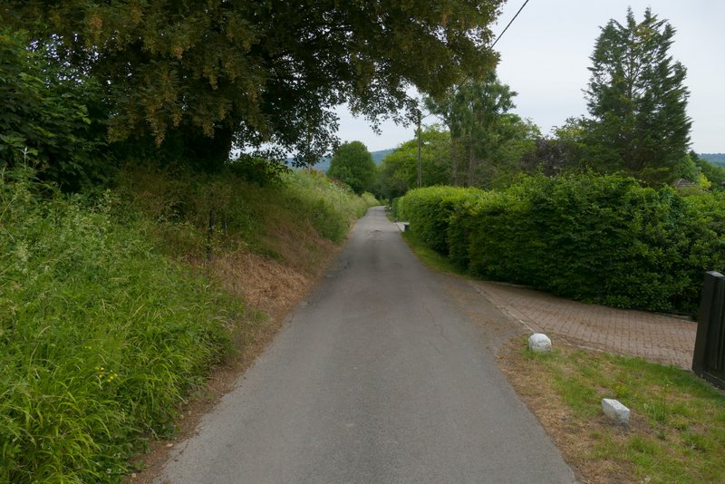
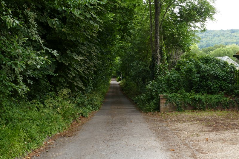
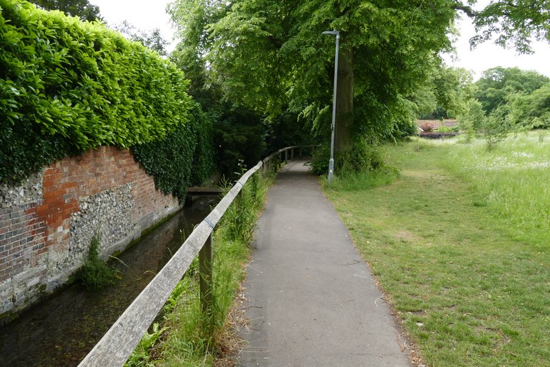
The path dropped downhill to reach a bridleway. Across this I went over a stile and followed a path that went slightly left as it descended through a grassy field (there were a few young bullocks here). I then turned left and followed Bacombe Lane for about half a mile, passing some works for the HS2 railway at one point, to reach the edge of Wendover. Here I turned right along a road for a few yards, before going down Chapel Lane on the other side. I followed it to where it crossed a stream, when I turned right along a path with the stream on my left. I soon came to a path junction, where I turned left, crossing a footbridge over the stream and continuing a short distance between garden boundaries.
The path descending from the tumulus
The path descending to
Bacombe Lane
Bacombe Lane
Chapel Lane
The path beside the stream after I turned right from Chapel lane
The path after I turned left and crossed the stream