Pete's Walks - Coombe Hill and Kingsash (with HS2 diversion) (page 3 of 6)
If you are considering walking this route yourself, please see my disclaimer. You may also like to see these notes about the maps and GPX files.
I then took a path going right, and commenced a long section going south through the woods (NOTE: this path isn't shown on the OS map, it runs a little to the east of the public footpath that follows the track from near the visitor centre). As always, I enjoyed walking through the woods here, simply keeping straight on along the path and ignoring a few paths going left or right. Sooner than I expected, after about a mile, I came to a point where a broad path went left and the path continuing ahead started to go downhill. Here I turned left along the broad path through the trees, following it for two or three hundred yards until it crossed the Ridgeway where it was running up the hillside in a sunken lane or 'hollow way'. I took a path that went right, next to the far side of this sunken lane. I quickly came to another path junction (white arrows on a tree) where I turned left, continuing through more woodland with the edge of the wood visible through the trees on my left. After a while the path ended when it met another section of the Ridgeway, where I went left (actually more or less straight on) and followed the Ridgeway a short distance to reach another part of Hale Lane.
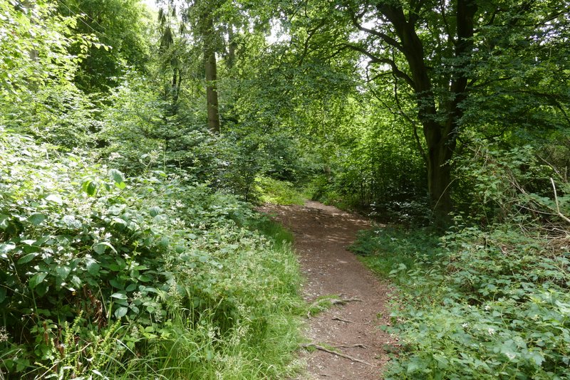
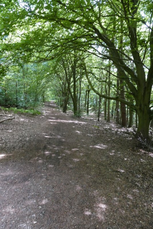
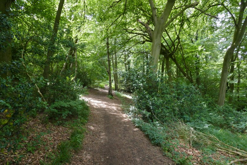
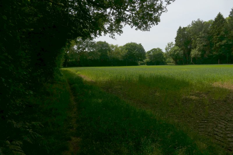
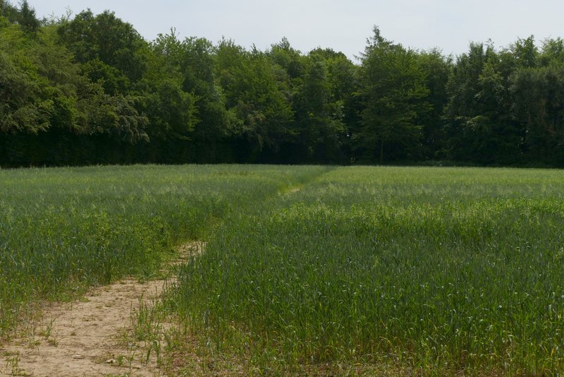
The long path going south through Wendover Woods
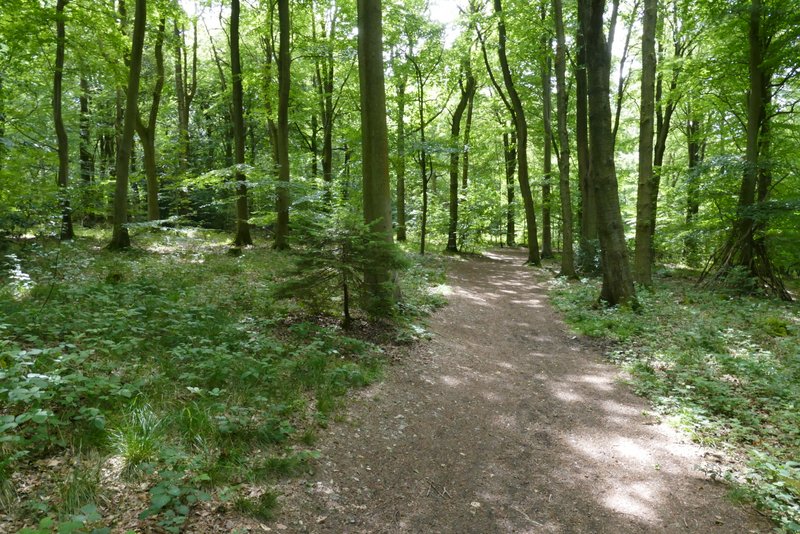
The long path going south through Wendover Woods
The long path going south through Wendover Woods
The long path going south through Wendover Woods
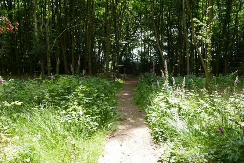
The path after I eventually turned left in Wendover Woods
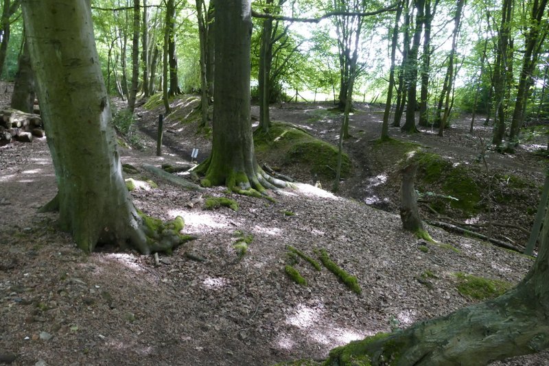
Approaching where I crossed the Ridgeway in a sunken lane
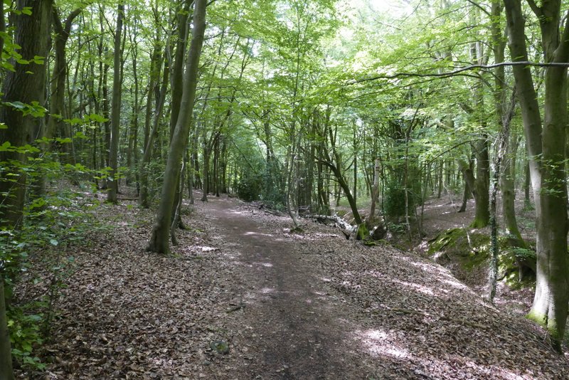
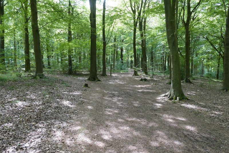
The path starting off beside the sunken lane
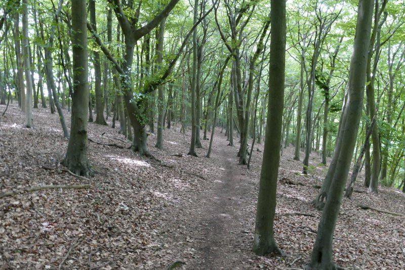
The path continuing through the wood
The Ridgeway heading towards Hale Lane
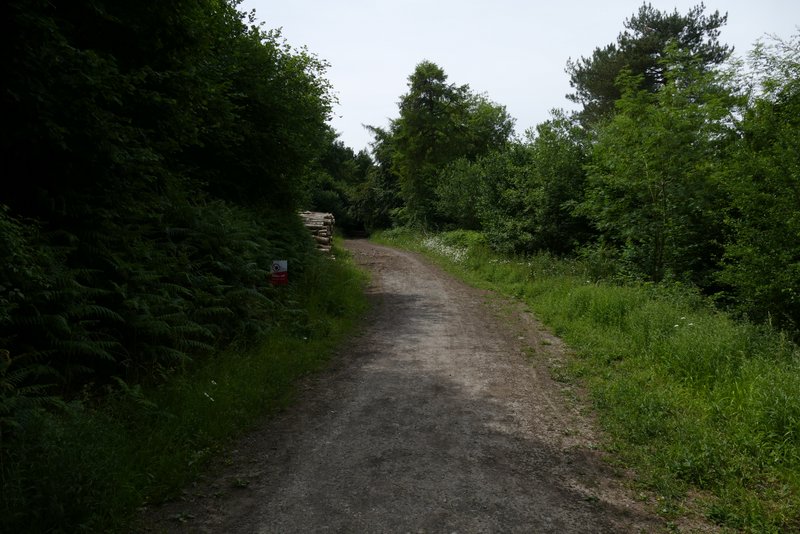
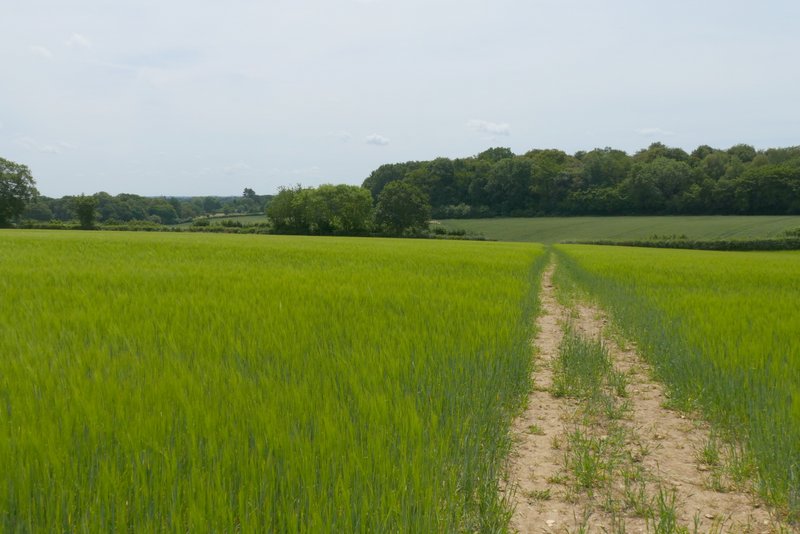
I went a few yards right, then continued along a track starting on the other side of Hale Lane. I missed a junction along here - after two or three hundred yards I should have taken a footpath forking left through part of Hale Wood, but I didn't spot the waymark (with hindsight, it may have been hidden behind a stack of timber). So instead when I came to where a path crossed the track I turned left. Within yards I came to another path crossing (where my intended path came in from the left) where I now just had to go straight on (obviously I'd have turned left if I'd been on my intended path). Soon the path reached a corn field, where it folowed the left edge for a while then crossed part of the to reach a break in a tree belt. Here I crossed the ancient earthwork of Grim's Ditch, then continued along the left edge of another corn field. After crossing a second field, the path went through another belt of trees and then crossed a much larger corn field.
The Ridgeway on the other side of Hale Lane
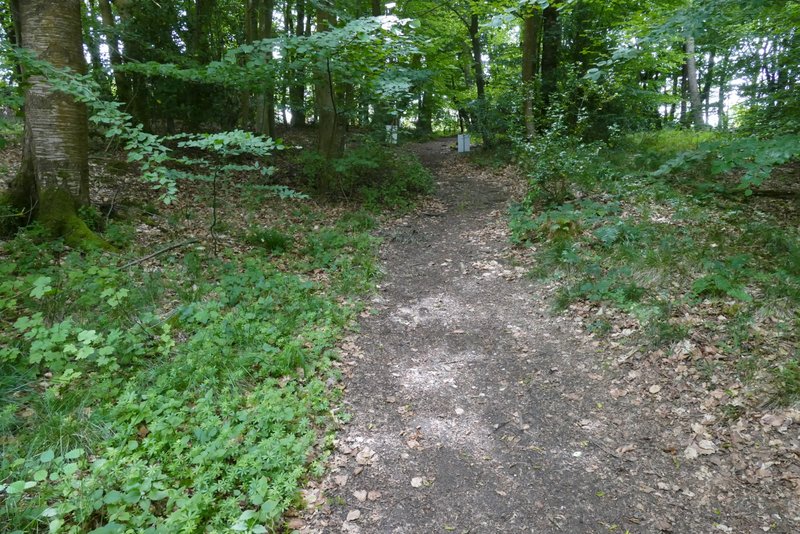
The path after I turned left at a path crossroads
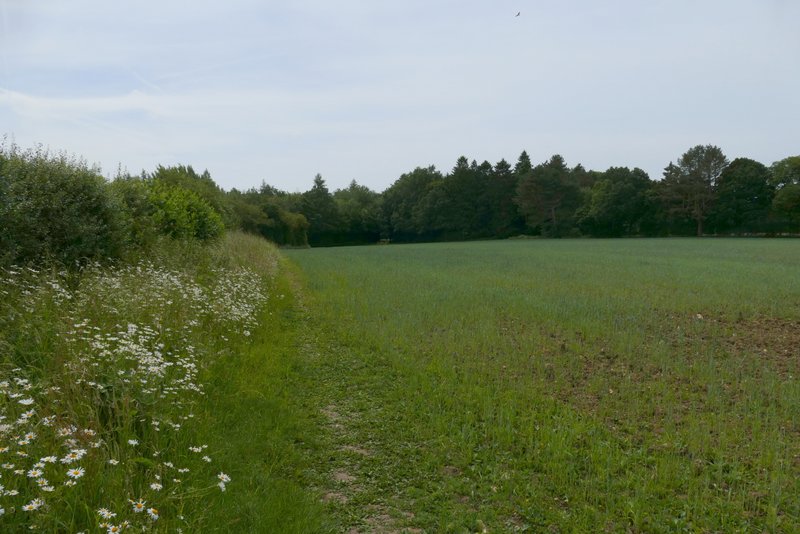
Further along the same path - Grim's Ditch (an ancient earthwork) runs along through tree belt ahead of me
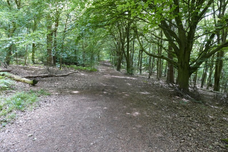
The path continuing southeast from Grim's Ditch
The path continuing southeast from Grim's Ditch
The path continuing southeast from Grim's Ditch
The path continuing southeast from Grim's Ditch