Pete's Walks - Coombe Hill and Kingsash (with HS2 diversion) (page 5 of 6)
If you are considering walking this route yourself, please see my disclaimer. You may also like to see these notes about the maps and GPX files.
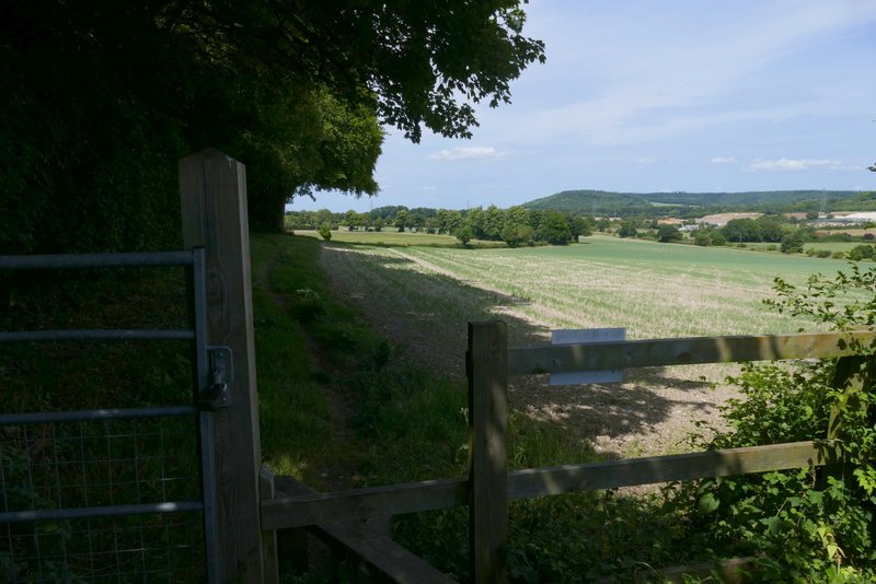
After a while a red sign with a white pedestrian and left arrow indicated where I had to leave the lane and rejoin the footpath - not may people can come this way, I had to carefully make my way through some nettles on the embankment here. I knew from the OS map that I had to just go straight downhill from here towards the road in the valley bottom. there was no path through the young crop in the field here, but I easily made my way down to a gate (with a waymark), beyond which the path ran between wooden fences again (with more HS2 work on my right). The path then followed the right edge of a corn field to reach the road in the valley bottom.
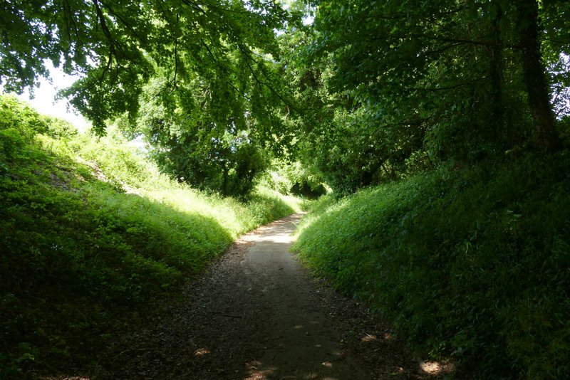
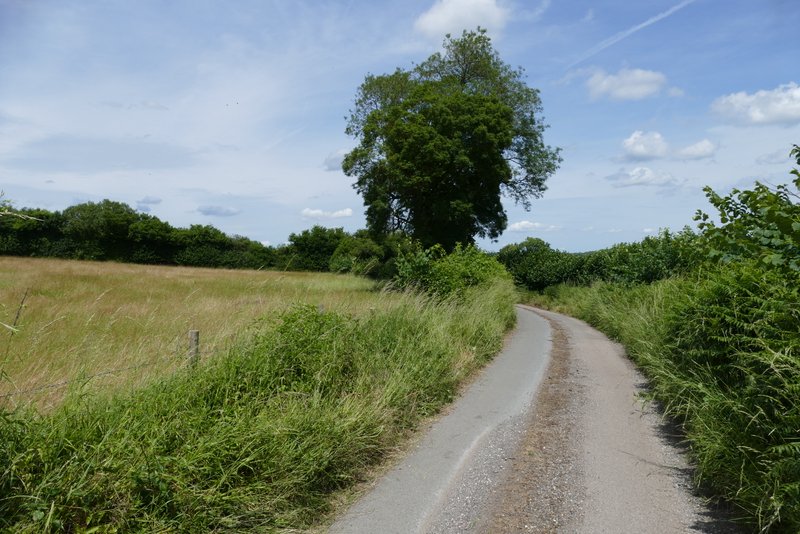
Bowood Lane
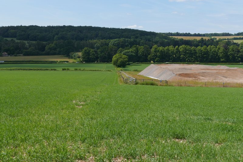
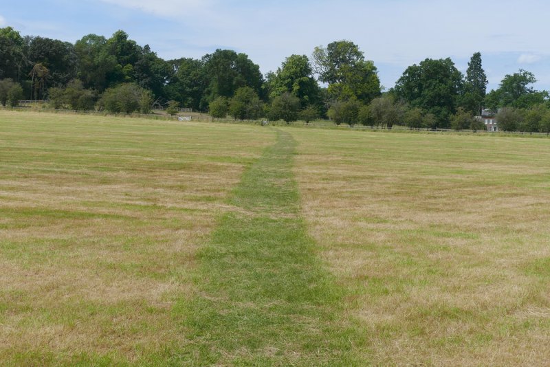
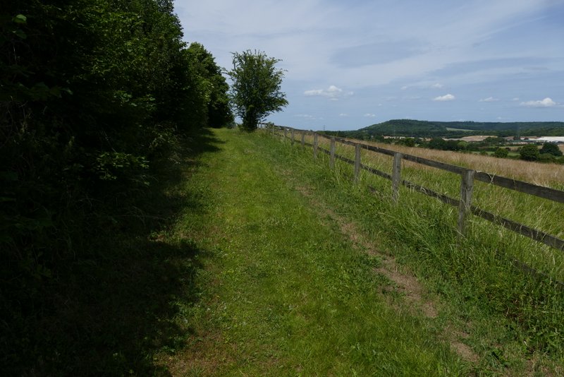
The path after I turned right from Bowood Lane
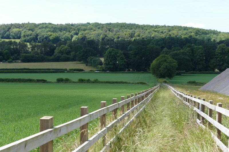
The path after I turned right from Bowood Lane
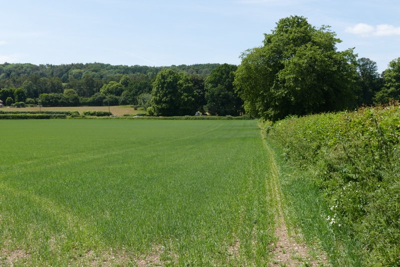
The path after I turned right from Bowood Lane
I crossed over the road, and took a footpath starting a few yards to the left. This soon went half-right across the grounds of Mayortorne Manor, going first through a mown meadow and then following a fence on my right past some paddocks or enclosures. On reaching a path junction in a corner of the grounds, I turned left through a gate, rejoining my original route - the diversion had added about two thirds of a mile to the route. I went straight on along a track to reach Cockshoots Wood where I took a path forking right through the wood. When this path came to a path T-junction, I turned right and followed it downhill to the former picnic area and car park next to Cobblershill Lane - the car park is sadly closed and the picnic tables gone, but I managed to find somewhere where I could sit and eat my packed lunch (it was about 1.40pm now).
The path crossing the grounds of Mayortorne Manor
The path crossing the grounds of Mayortorne Manor
The path between Mayortorne Manor and Cocksfoot Wood (after the end of the diversion)
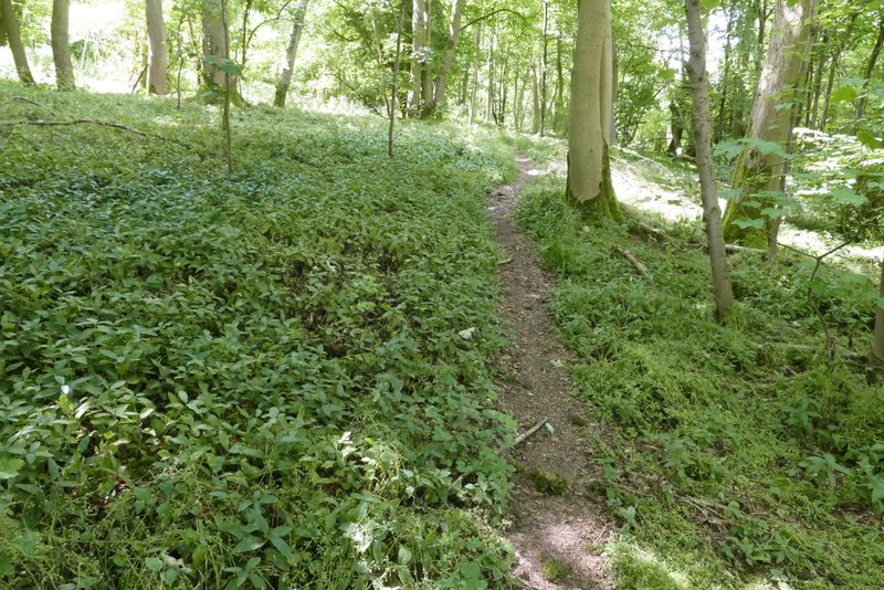
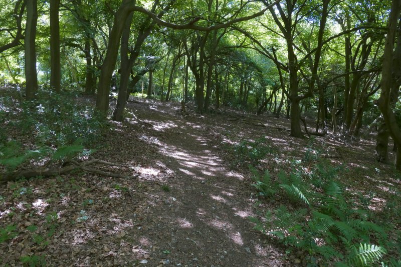
The path after I turned right in Cocksfoot Wood
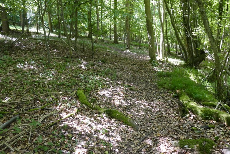
The path after I turned right in Cocksfoot Wood
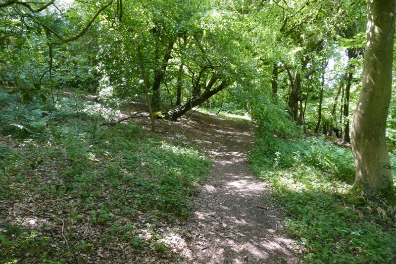
The path after I turned right again in Cocksfoot Wood, dropping down to the picnic area
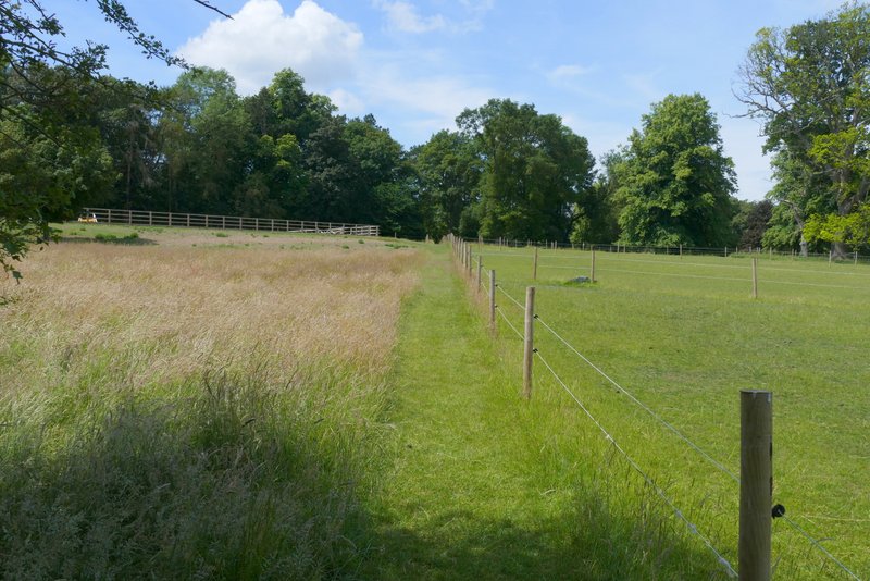
Lunch over, I turned right along Cobblershill Lane, following it for about a quarter of a mile until footpaths went off on either side. I took the path going left, crossing an all-weather gallop for horses and continuing between a paddock fence and a tall garden hedge on my right. I soon came to another path junction, where I turned right, still with a similar hedge on my right. At the end of this path I went right along a concreted drive to reach Russell Farm, where I immediately went left. I soon came to a gap in the tall hedge on my right, where the footpath went through a gateway and switched to the right of the hedge. The path continued between the hedge and a fence on my right, where I soon had views towards Boddington Hill and Wendover Woods, where I'd been earlier. Over a stile the path continued along the edge of a field and then entered Sermon Wood, where almost immediately I went left at a path junction. This path then rose very gently uphill through the wood for about half a mile.
Cobblershill Lane
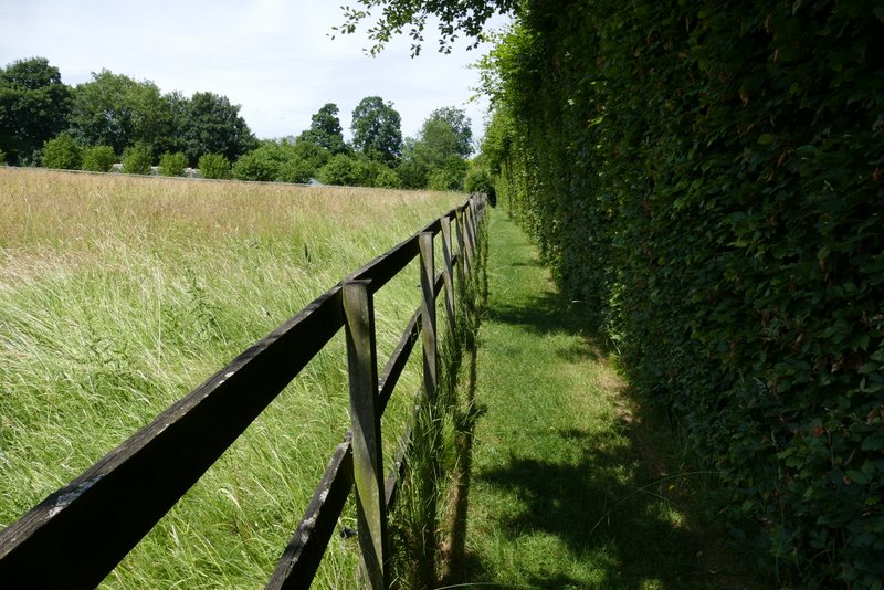
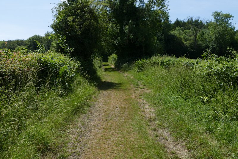
The path after I turned left from Cobblershill Lane
The path going north from Russell Farm (Boddington Hill in the distance)
The path going north from Russell Farm (Boddington Hill in the distance)
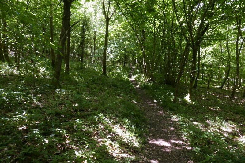
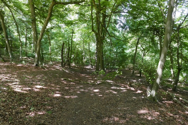
The path through Sermon Wood
The path through Sermon Wood
The path through Sermon Wood