Pete's Walks - Another Ashridge Walk (page 1 of 5)
If you are considering walking this route yourself, please see my disclaimer. You may also like to see these notes about the maps and GPX files.
I did this circular walk of about 10.9 miles on Saturday, 29th July 2023. It was intended to be a repeat of the Shortened version of Ashridge Estate Boundary Trail that I've done several times before, but I ended up making it even shorter (due to fitness problems).
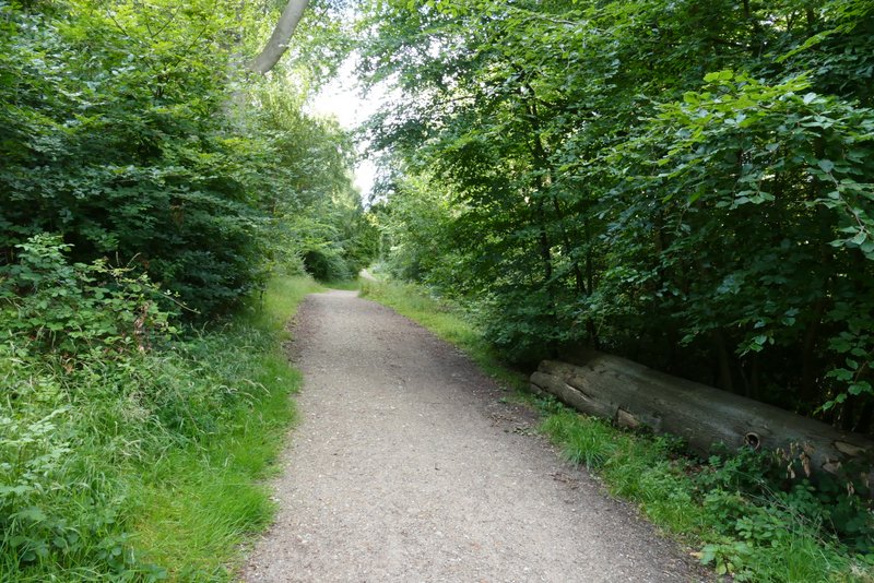
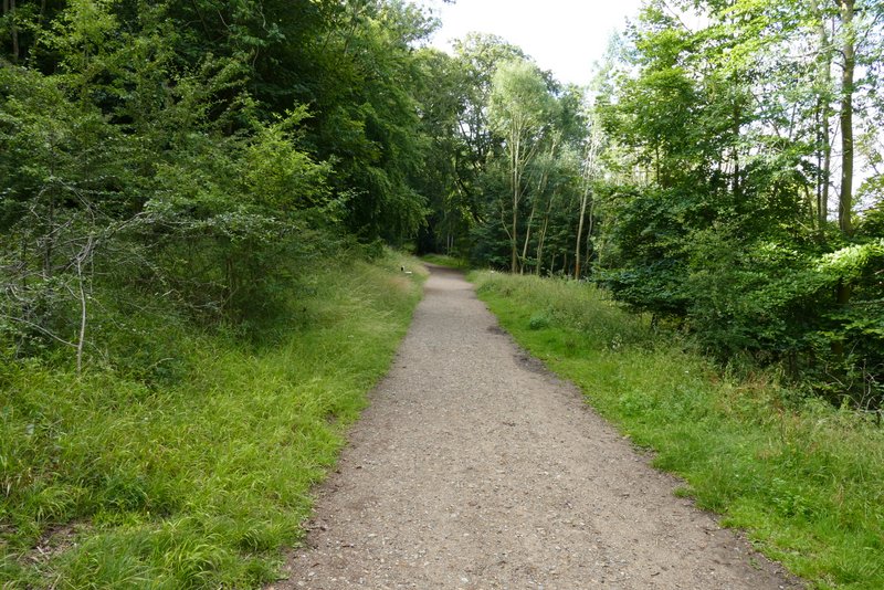
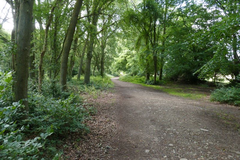
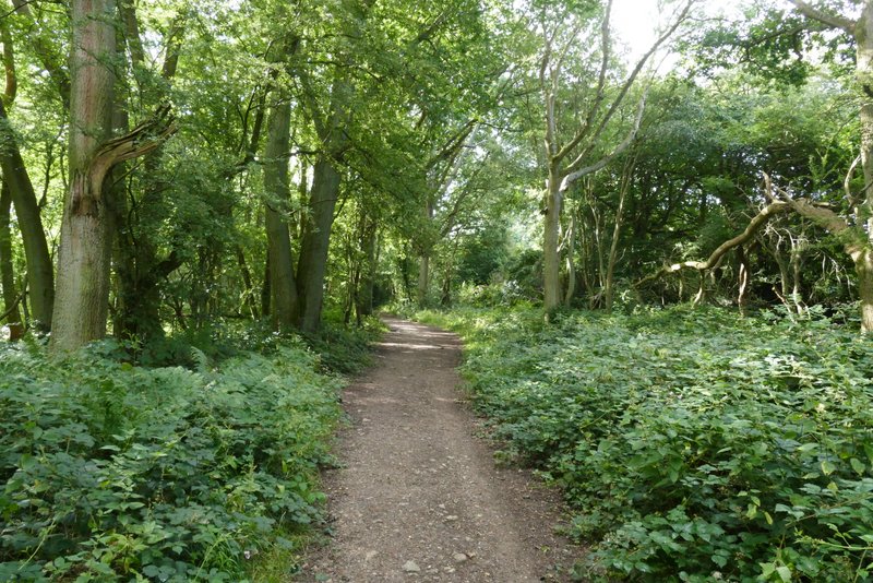
I couldn't park where I wanted to at the car park near Ringshall, as it was closed for resurfacing, so I turned down the drive to the Bridgewater Monument and parked at the car park just before the visitor centre and cafe (Grid Reference SP972131). I started walking about 8.45am, following the broad track past the visitor centre and cafe, with the monument over to my right. I soon entered the woods of Ashridge, as the track (a bridleway) started to descend towards Aldbury. After about a quarter of a mile, I came to a fork in the bridleway, where I kept left instead of going down to Aldbury. This bridleway now ran level through the woods for about half a mile - there was a nice view to the right at one point, looking out over Aldbury. On reaching a junction, I went a few yards right, then turned left, following a narrower bridleway through the trees (crossing a drive at one point) to reach a road (near Tom's Hill). I continued along the bridleway on the other side, keeping straight on for about another half mile (as usual following the waymarks for the Ashridge Estate Boundary Trail). I then came to a junction where the bridleway appeared to fork. I was sure I should fork right and then turn left after a very short distance, but a waymark for the Ashridge Estate Boundary Trail pointed straight on so I went that way. I soon came to another junction - here there was a waymark pointing left, which I knew was wrong, so I went straight on, soon leaving the woods and emerging on to the huge open grassland part of Northchurch Common, where I turned right. After a hundred yards or so I passed the point where I'd have come out if I'd followed the correct route.
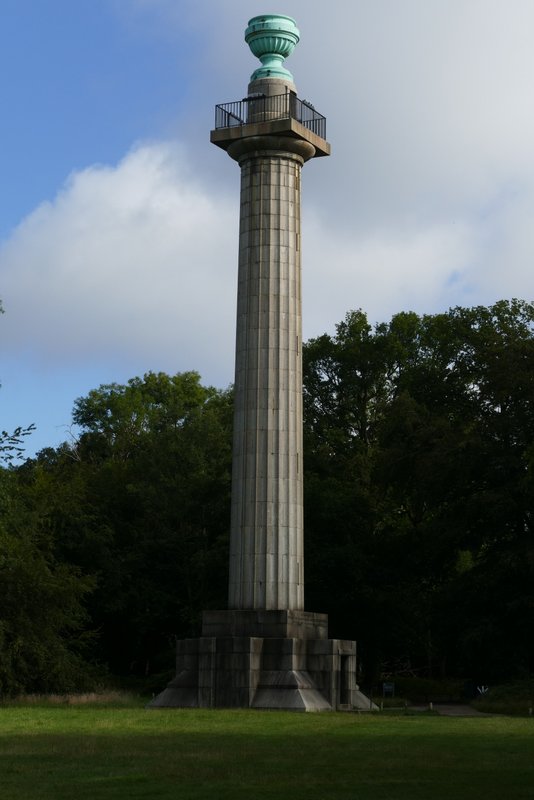
The Bridgewater Monument
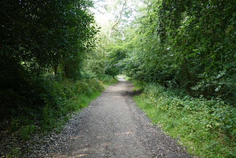
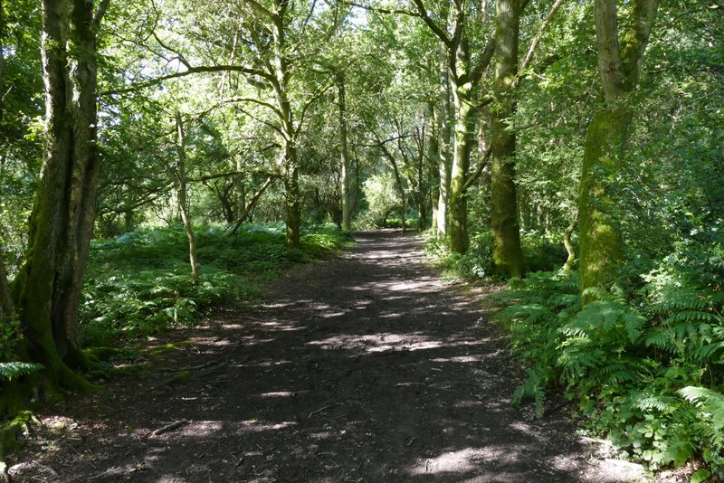
The bridleway from the Monument to Aldbury
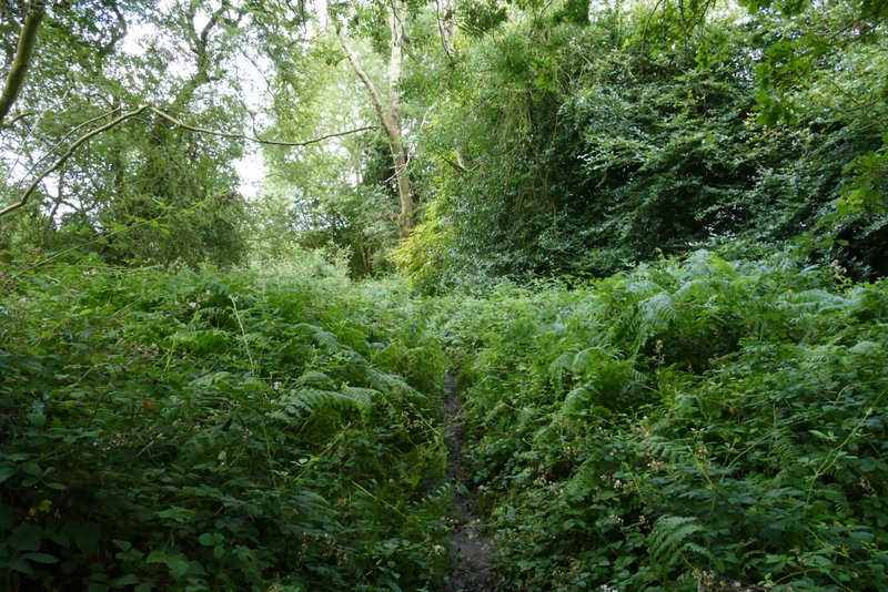
The bridleway after I forked left from the bridleway to Aldbury
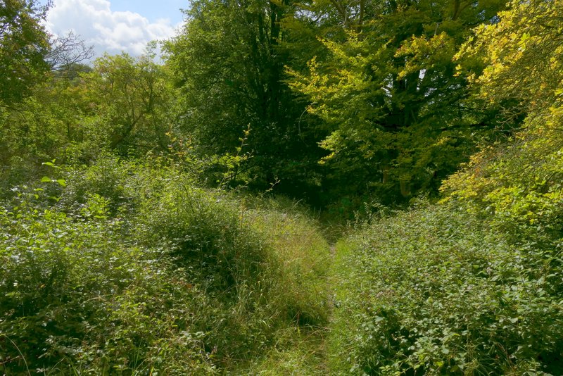
Further along the same bridleway
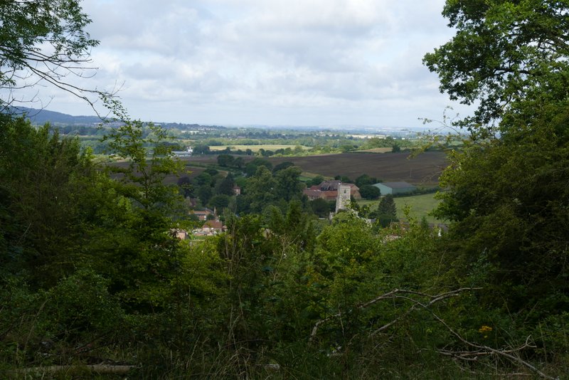
View right from the bridleway, looking out over Aldbury
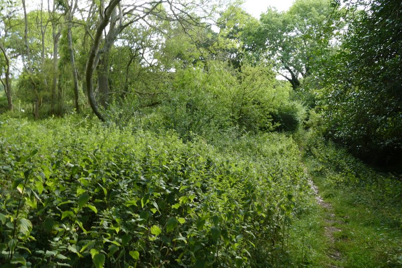
Further along the same bridleway
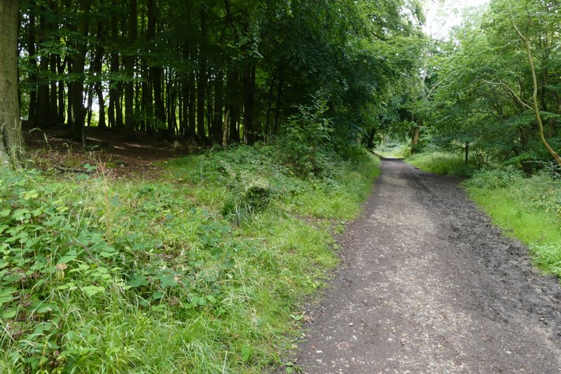
The bridleway after I turned right and then immediately left, where it crosses a drive
The bridleway continuing after I crossed the road (near Tom's Hill)
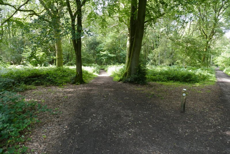
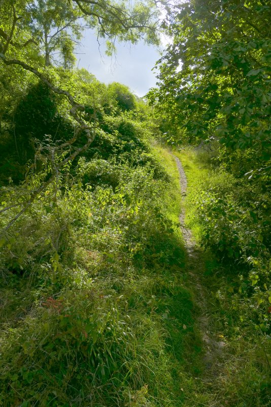
Further along the same bridleway
Further along the same bridleway
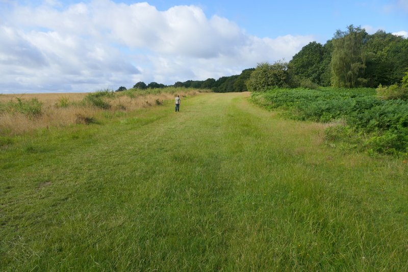
Northchurch Common
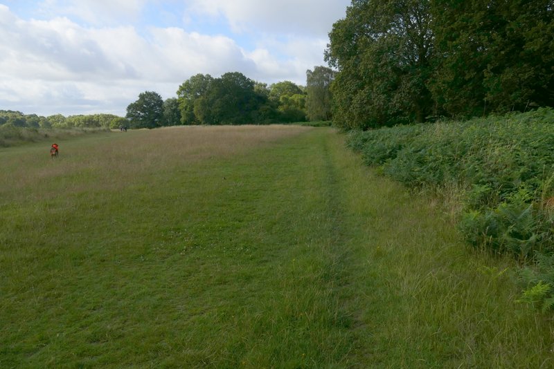
I continued along the edge of the common. In a corner the path went straight on, back into the trees. I went straight on at a path crossroads (by another corner of the grassy part of the common). The path now ran through a more open area of bushes and occasional trees, soon with a valley dropping down to my left. I just had to follow the waymarks, taking a right fork at one point. This section always seems longer than I expect, but eventually the path then re-entered the trees and turned left, now following the southwest edge of Northchurch Common with fields just a few feet to my right. The path dropped down into a valley and rose a short distance up the other side before levelling out, still staying close to the fields on my right. It then dropped downhill into another small valley, where I turned left along a drive (coming from a property named "Goreseside's" on the OS map)
Northchurch Common
Northchurch Common
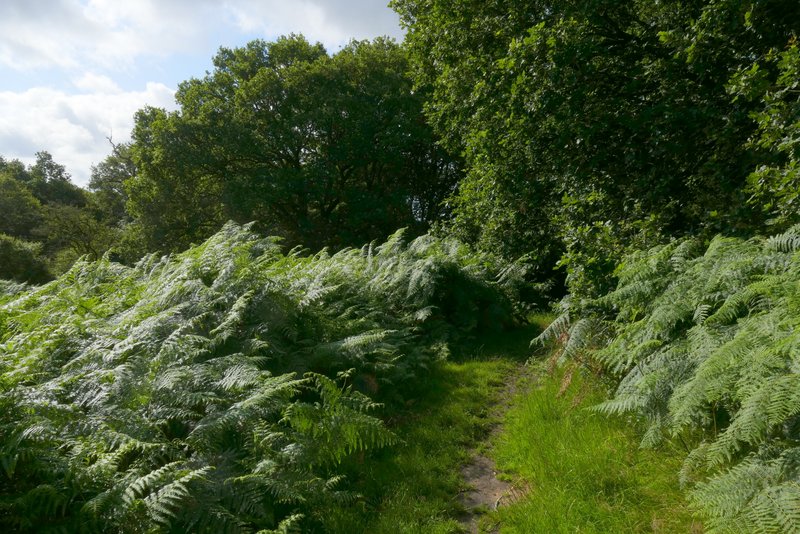
NorthchurchCommon
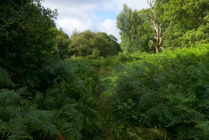
Northchurch Common
Northchurch Common
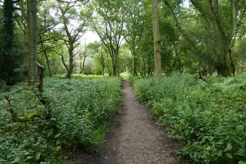
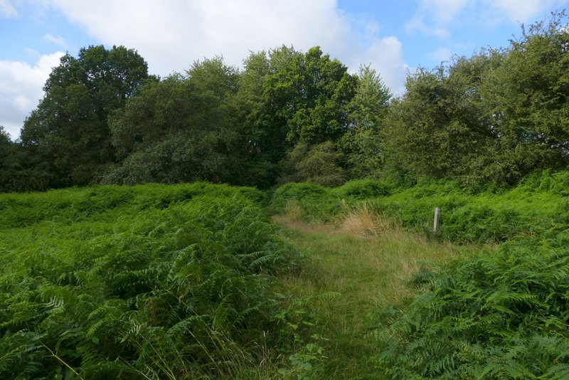
The path along the wooded southwestern edge of Northchurch Common
The path along the wooded southwestern edge of Northchurch Common
The path along the wooded southwestern edge of Northchurch Common
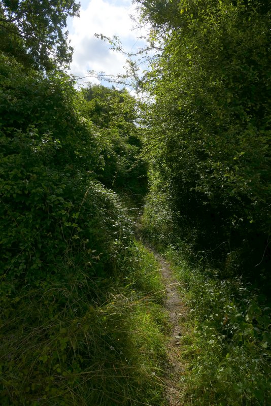
The path along the wooded southwestern edge of Northchurch Common
The path along the wooded southwestern edge of Northchurch Common