Pete's Walks - Another Ashridge Walk (page 4 of 5)
If you are considering walking this route yourself, please see my disclaimer. You may also like to see these notes about the maps and GPX files.
Google map of the walkDownload GPX file of the walk
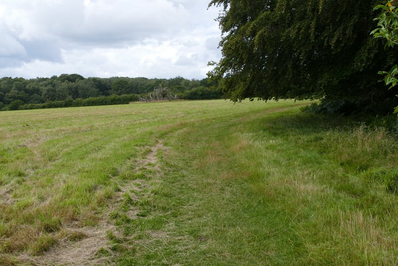
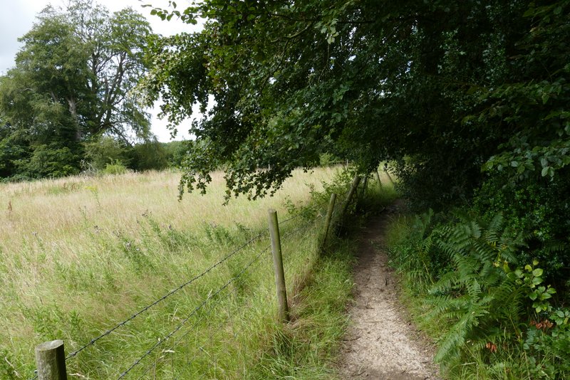
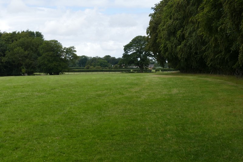
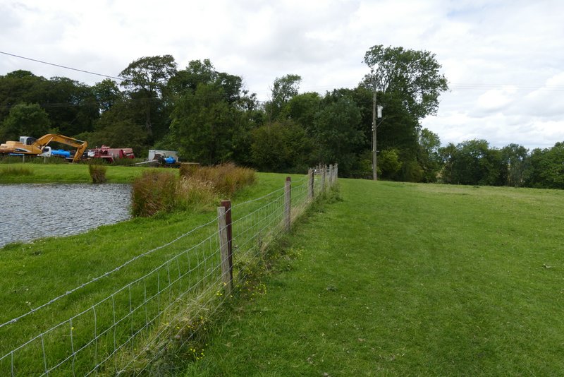
Across the road a path continued down a drive, passing a couple of cottages, and then turning left behind a small reservoir. The path then ran between fences with Ringshall Coppice on my right for several hundred yards, until it eventually entered a large sheep pasture. The path moved slightly left (away from the wood) as it crossed the pasture, then continued across three more sheep pastures (there were only sheep in the last one) to reach Ward's Hurst Farm.
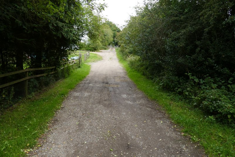
The start of the path from Ringshall
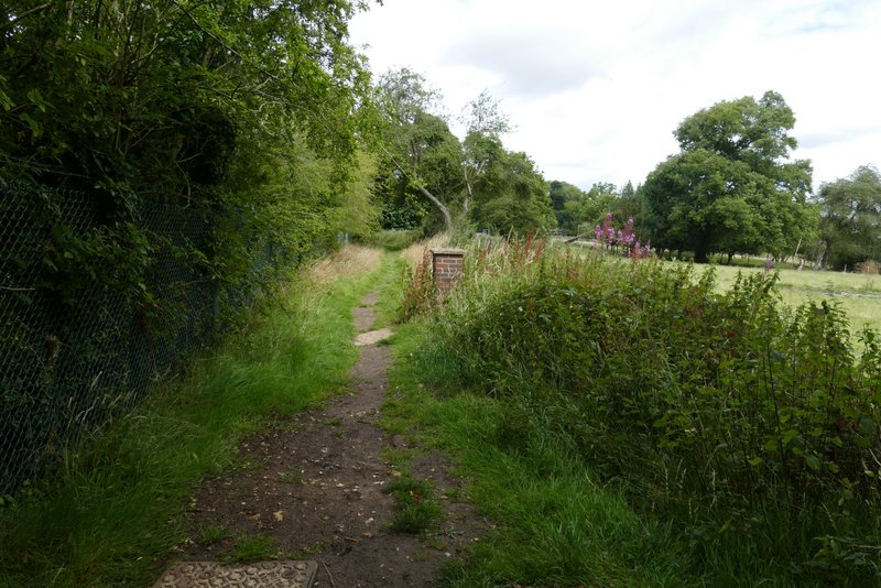
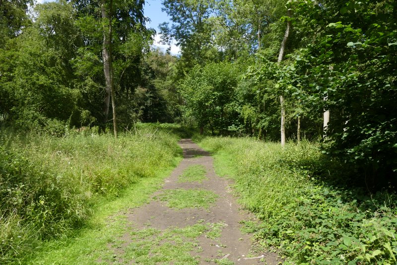
The path from Ringshall
The path from Ringshall
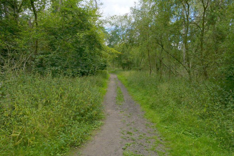
The path from Ringshall
The path from Ringshall
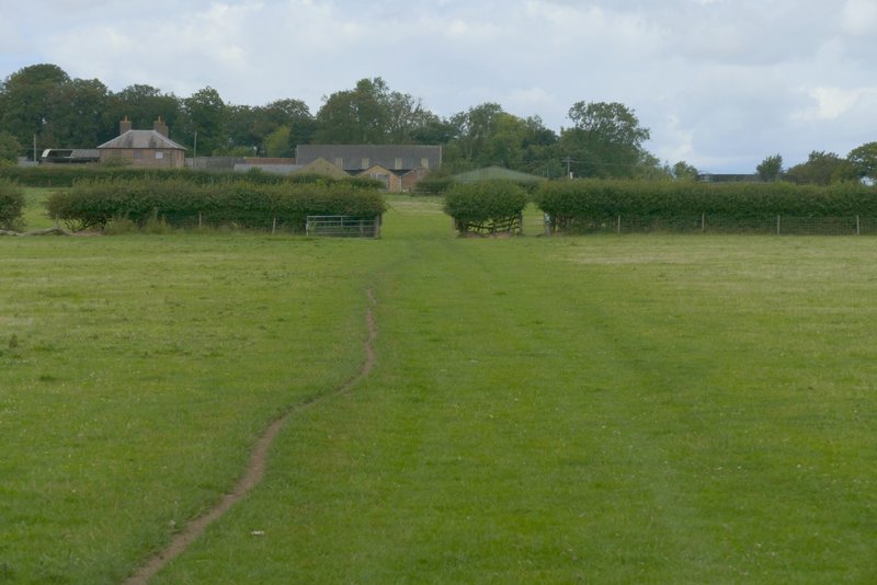
The path to Ward's Hurst Farm
The path to Ward's Hurst Farm
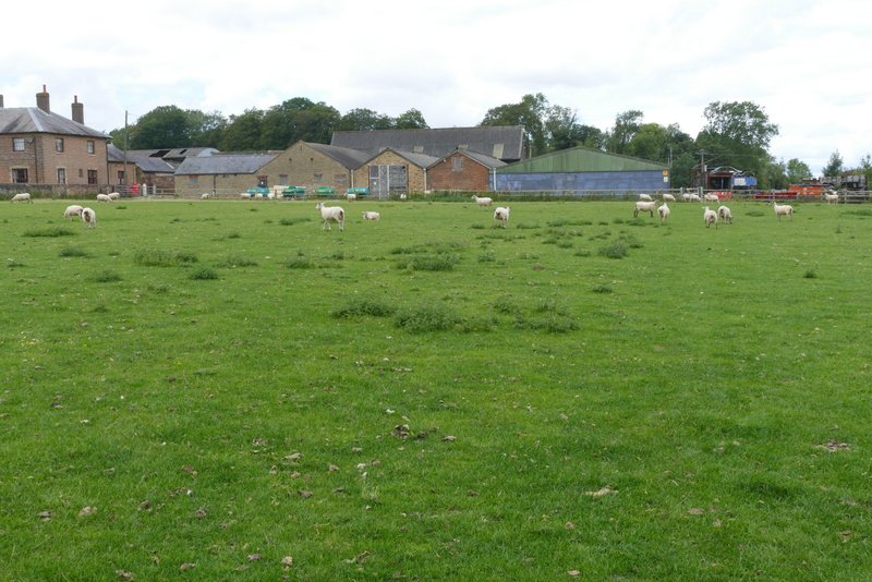
Approaching Ward's Hurst Farm
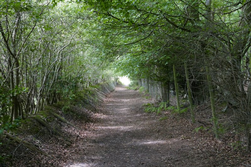
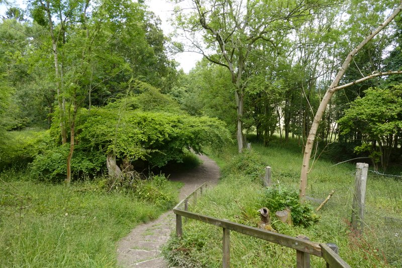
The clearly waymarked path continued straight on through the yard of Ward's Hurst Farm, then went through a gate and followed the left edge of another sheep pasture a short distance to reach a wood (the only name on the OS Map is The Coombe). The path, part of the Icknield Way, then dropped down a steep flight of wooden steps. At the foot of the steps, the path continued on, soon entering a coniferous section of the wood, with the trees planted in straight lines. On the other side of the conifers the path continued through the wood for about a quarter of a mile.
The start of the path from Ward's Hurst Farm
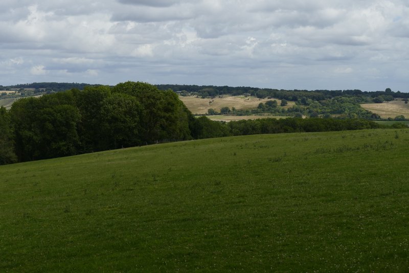
View from near Ward's Hurst Farm
The path from Wood's Hurst Farm (at the bottom of the 'steps'
The path from Wood's Hurst Farm
The path from Wood's Hurst Farm
The path from Wood's Hurst Farm
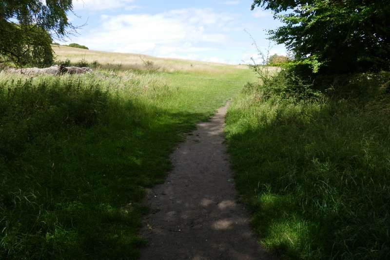
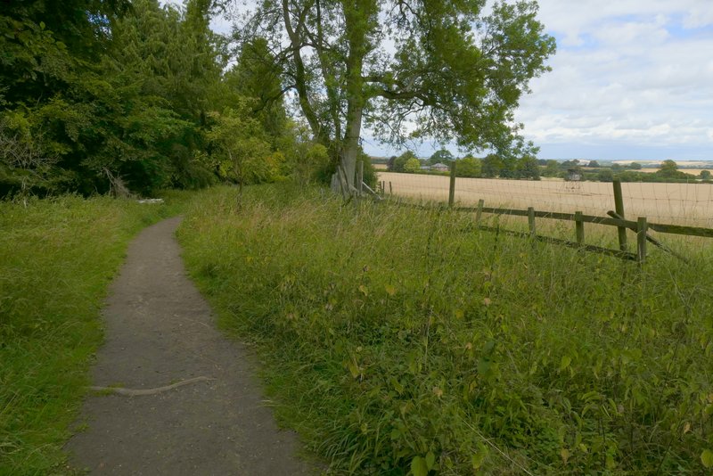
The path from Wood's Hurst Farm, as it leaves the wood