Pete's Walks- Christmas Common, Cookley Green, Russell's Water (page 1 of 4)
If you are considering walking this route yourself, please see my disclaimer. You may also like to see these notes about the maps and GPX files.
I did this walk of about 8.1 miles on Saturday, 23rd September, 2023. It was a new route for me, though it was all on paths I'd walked many times before.
I'd intended walking from the car park on Watlington Hill, but I discovered when I got there that you now have to pay to park. So I drove back up the road, turned left at a T-junction into Christmas Common, then forked left and parked on the right (Grid Reference SU 714933). I started walking about 9.45am, going the few yards back to the junction, turning right (there was a footpath of sorts on the far side of the road), and then turning left and following the road about a quarter of a mile back to the car park on Watlington Hill (on the left). I walked through the car park and took the path starting by a notice board and the pay-by-phone machine (it didn't seem to show the parking fees, but I've just googled it and it's £3 a day but free to National Trust members). The path led through a small wood and crossed a drive, then ran between bushes either side. It turned a bend to the right to reach a gate, where a lovely view opened up over the Oxfordshire Plain. Through the gate I continued along the path over the long flat top of the hill.
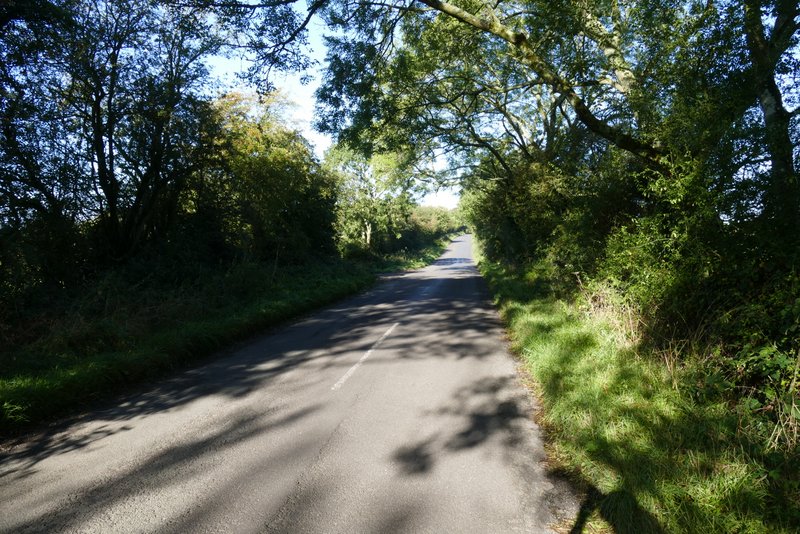
The road from Christmas Common to Watlington Hill (the car park is roughly where the road goes out of shot)
The path from the car park on Watlington Hill
The path from the car park on Watlington Hill
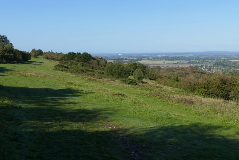
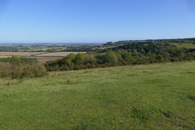
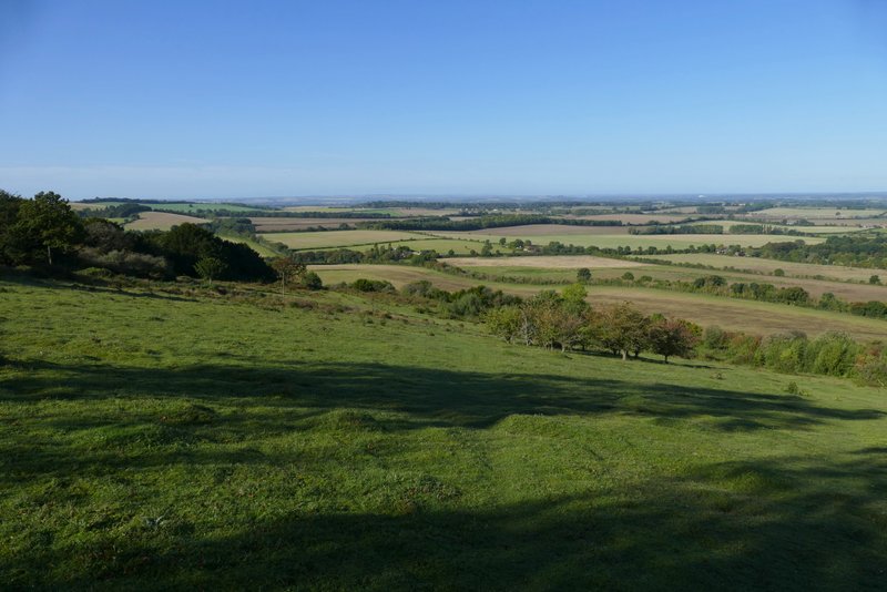
The path along the top of Watlington Hill
Looking right from Watlington Hill, towards Shirburn Hill
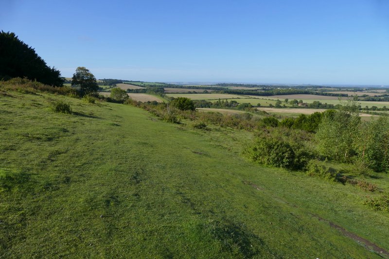
The path on Watlington Hill
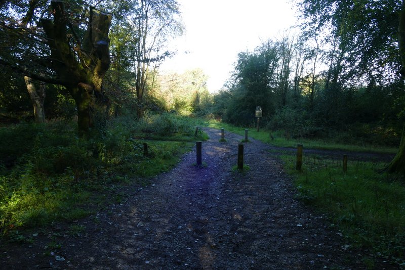
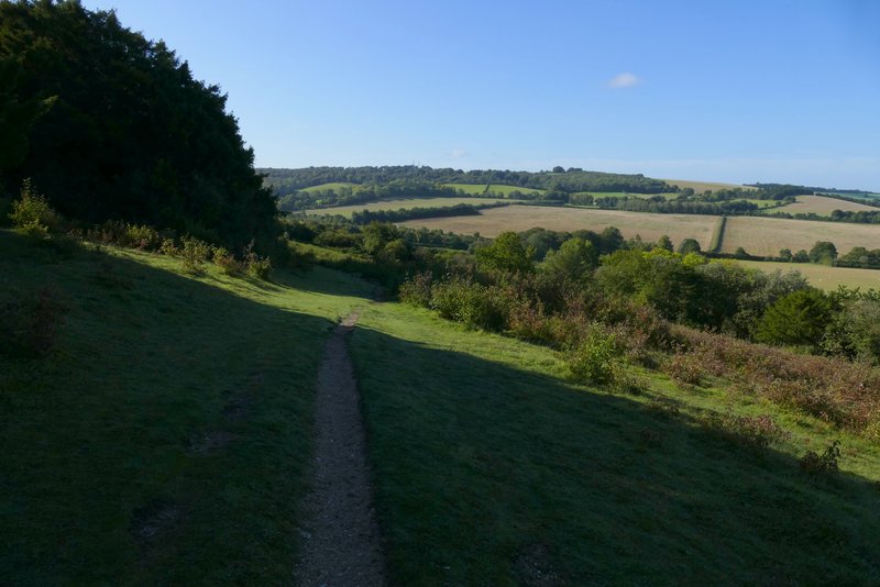
When I reached the end of the hill and the path started to drop downhill, I almost immediately turned half-left and followed a very vague path, aiming just right of a Silver Birch tree I remembered from when I've been this way before. From that tree the path become slightly clearer as it went downhill at an angle to the slope. This path took me down to an obvious and level path going across the hillside, where I turned left. Soon this was running along a wide grass strip with bushes and dark Yew trees running across the hillside just uphill to my left, with more bushes a little way down the slope on my right. At the end of the grass strip, the path continued through more Yew trees to come to a T-junction with a footpath coming down from the top of Watlington Hill (it starts beside the car park).
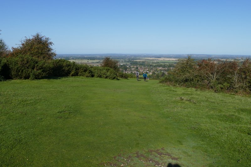
View straight ahead on Watlington Hill
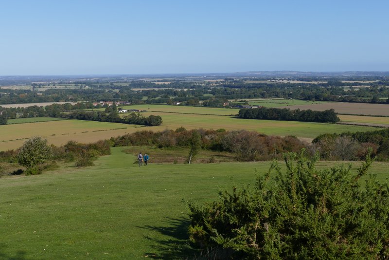
The path going half-left on Watlington Hill - I remembered I needed to go just left of the Silver Birch tree (half-hidden in the centre of the shot)
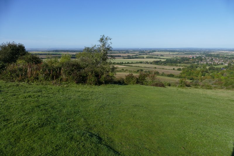
The path descending Watlington Hill
The path on Watlington Hill
The path on Watlington Hill
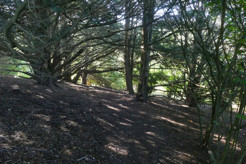
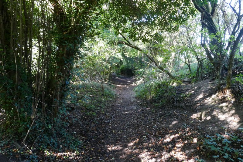
Watlington Hill, where the path goes through an area of Yew trees
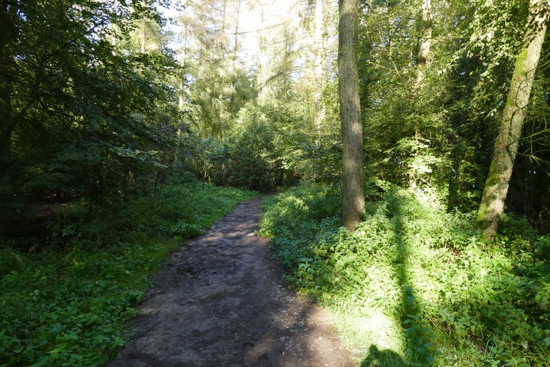
I turned right, and followed the path for several hundred yards with thick hedges either side until I reached a drive, where I went a very short distance right to reach a road. Here I turned left and followed the road (it was heading from Watlington towards Nettlebed), there being a reasonable verge to walk on.
The footpath from the bottom of Watlington Hill
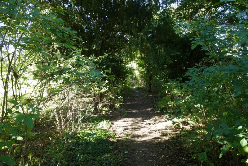
The footpath from the bottom of Watlington Hill
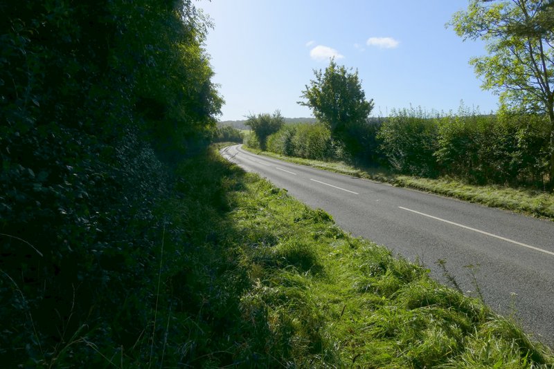
The short road walk