Pete's Walks- Christmas Common, Cookley Green, Russell's Water (page 3 of 4)
If you are considering walking this route yourself, please see my disclaimer. You may also like to see these notes about the maps and GPX files.
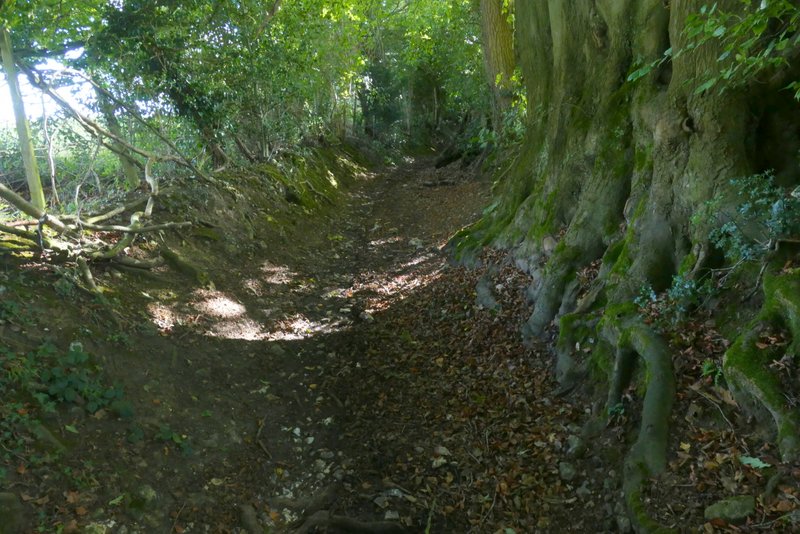
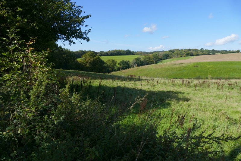
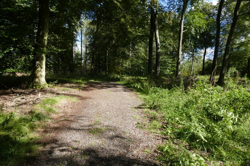
After about three quarters of a mile I reached a bridleway junction, where I turned left and followed a bridleway quite steeply uphill to reach the hamlet of Russell's Water. I turned left and carefully followed the road through the hamlet a short way, before turning right and followed a gravel drive, with the village pond on my right. Just past the pond, I followed the drive to the left, and where it ended a short path led on to reach the wide open space of Russell's Water Common. I turned left and followed a path through the grassy common.
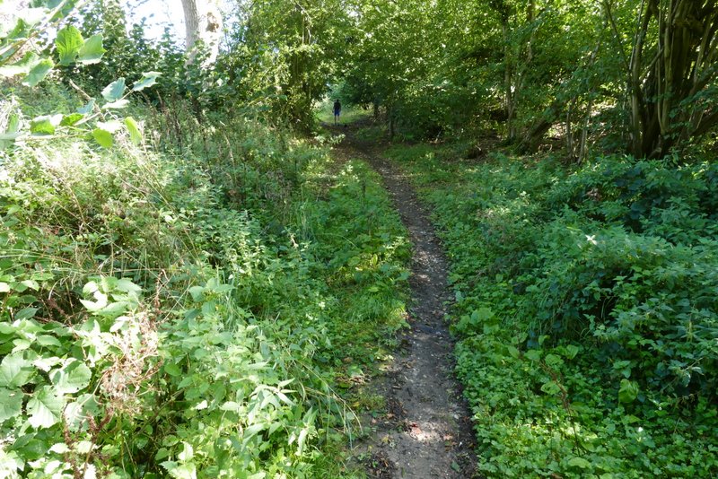
The bridleway up to Russell's Water
The bridleway up to Russell's Water
View looking back, as I reached Russell's Water
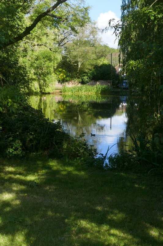
The pond at Russell's Water
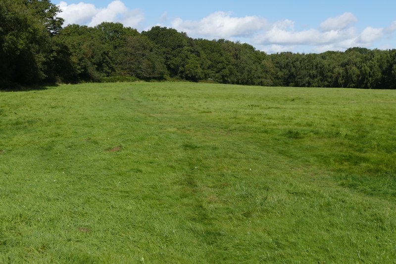
Russell's Water Common
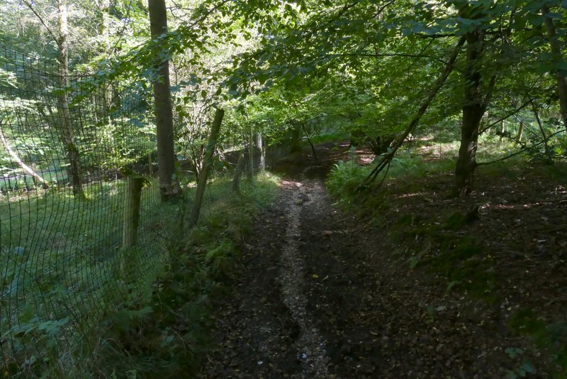
On nearing a corner of the common, I took a path entering the trees that surround the common. This soon turned right and dropped gently downhill through the trees to reach a road in Pishill Bottom. Across the road a permissive path headed quite steeply up into Shambridge Wood, following a fence on my right for a while before going half-left through the trees (this wasn't clear, I only managed to go the right way because I remembered it). Near the top of the slope the path ended when it met a bridleway, where I turned right. The bridleway, part of the Chiltern Way, led over the top of the hill, then turned left and dropped own into a small valley (another bridleway went left somewhere along here). It was a very sort rise up the other side of the valley, then the bridleway descended gently with a fence on my left - at some point the wood became Greenfield Wood.
The path from Russell's Water Common
Russell's Water Common
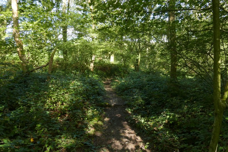
Start of the permissive path across the road in Pishill Bottom
The permissive path across the road in Pishill Bottom
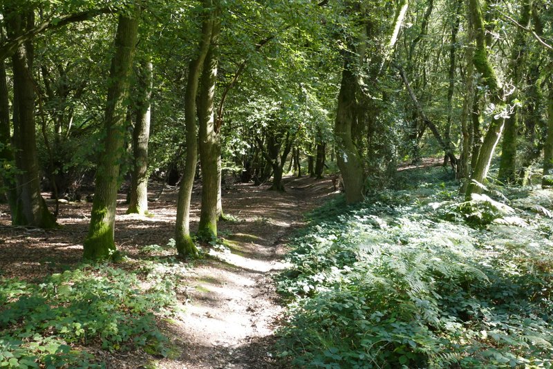
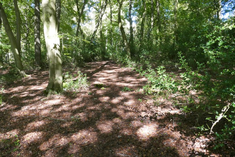
The bridleway after I turned right, in Shambridge Wood
The bridleway continuing through Shambridge Wood
Across the road, a path went in front of and to the right of a cottage, then entered Nuffield golf course (James Bond author Ian Fleming used to play here). The path across the course was marked by posts with the Ridgeway's white acorn symbol on, so was reasonably easy to follow (except at one point where the post was in the shade of trees and I couldn't see it until I was partway across a fairway). Beyond the golf course the path crossed a corner of a field to reach a lane by Nuffield church.
The bridleway continuing through Shambridge Wood
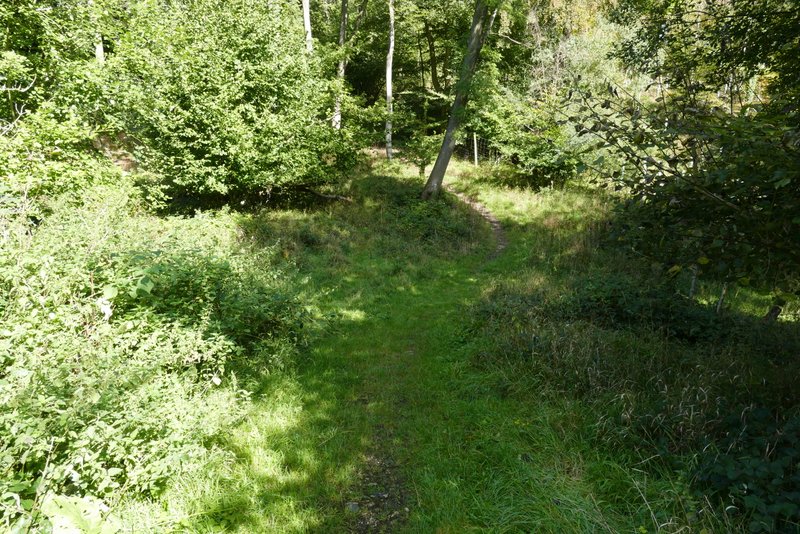
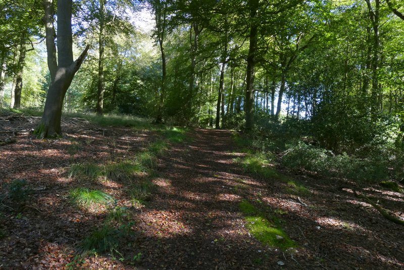
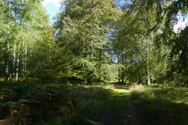
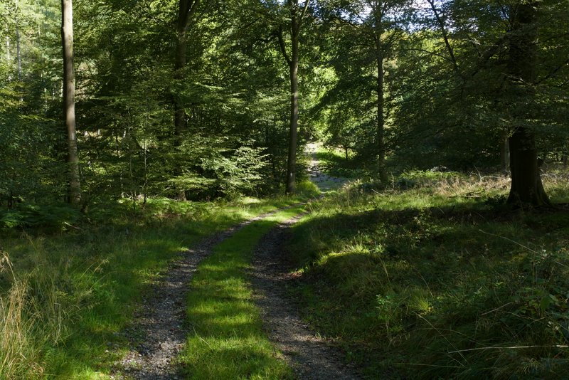
The bridleway continuing through Greenfield Wood
The bridleway continuing through Greenfield Wood